(all images are clickable for a larger version)
Forester Pass is the second highest point on trail, after Mt. Whitney. But my plan for today was not only to cross the pass before noon, but I should then continue the JMT until the junction to Kearsarge Pass / Onion Valley. So I should not leave too late.
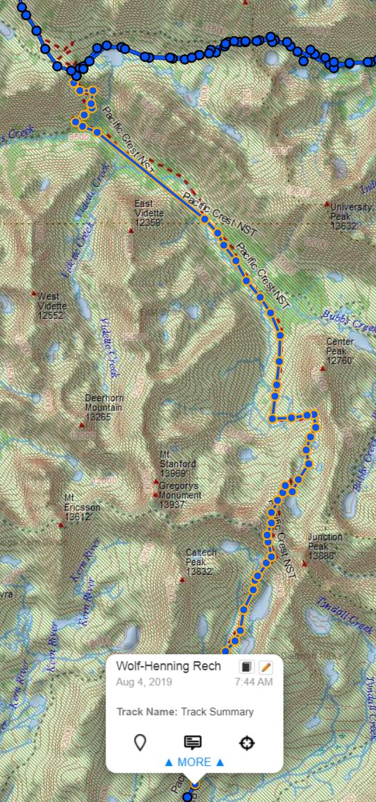
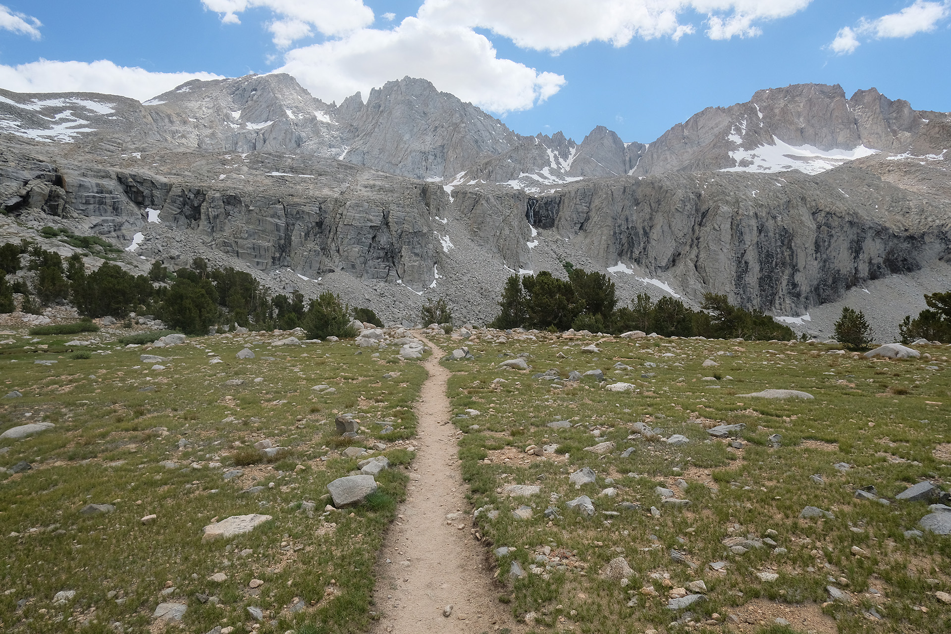
It was 7:45 h until the morning routine was finished, everything packed, and I continued the ramp up to the pass. The next 4 miles were a nearly continuous ascent; the terrain changed more and more to barren alpine, and the snow patches got larger. But the trail stayed nearly free of snow. When the pass became visible in the mountain range I could overview the Diamond Mesa with its partly icy lakes behind me.
Diamond Mesa 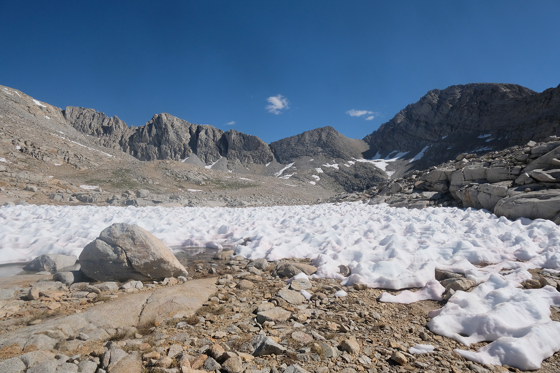
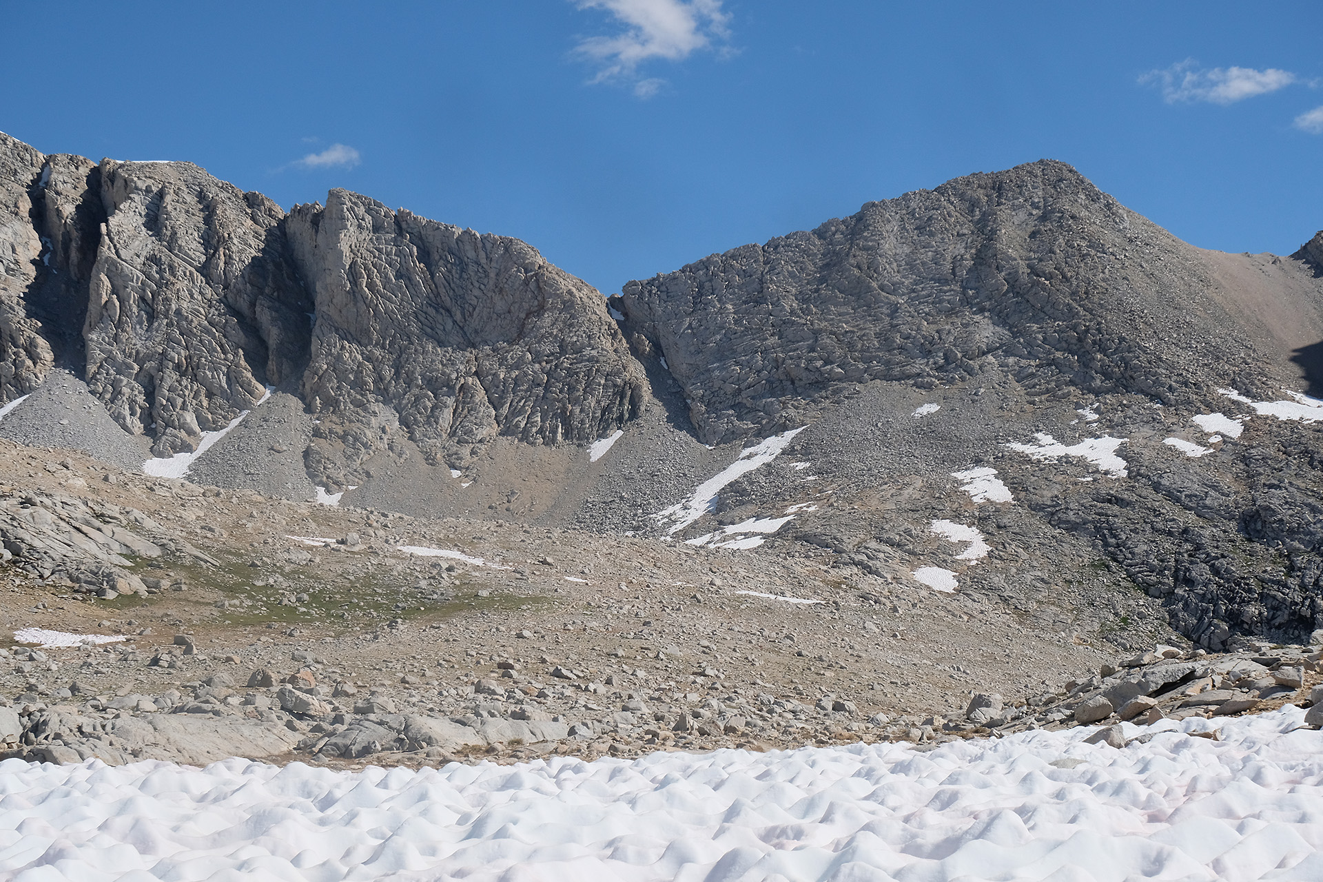
Forester Pass in the center
Yes, this is the pass. From a distance the climb looks like serious mountaineering, but on a closer look the switchback structure on the right side can be recognized.
Forester Pass 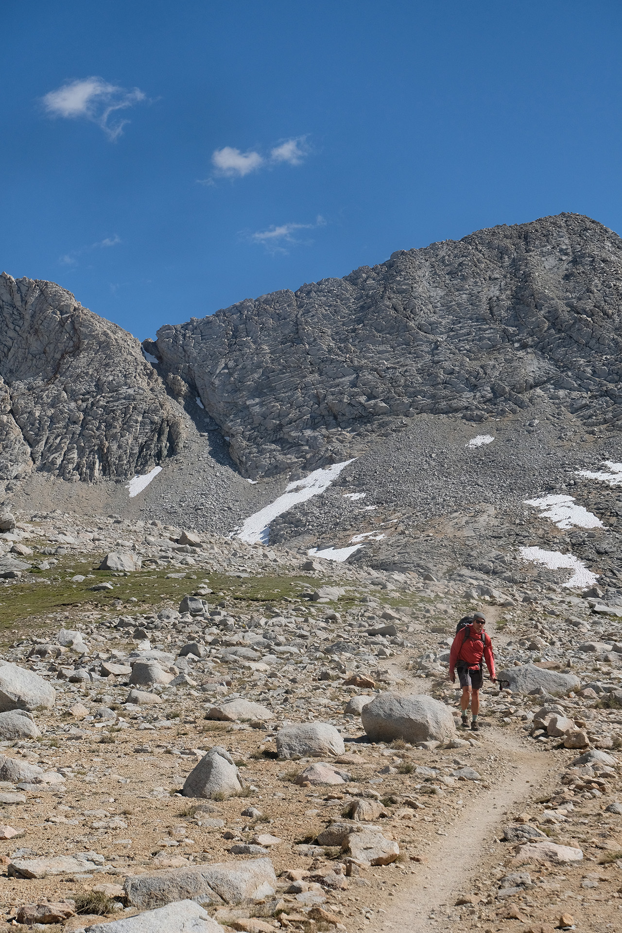
Switchbacks visible to the right of the pass 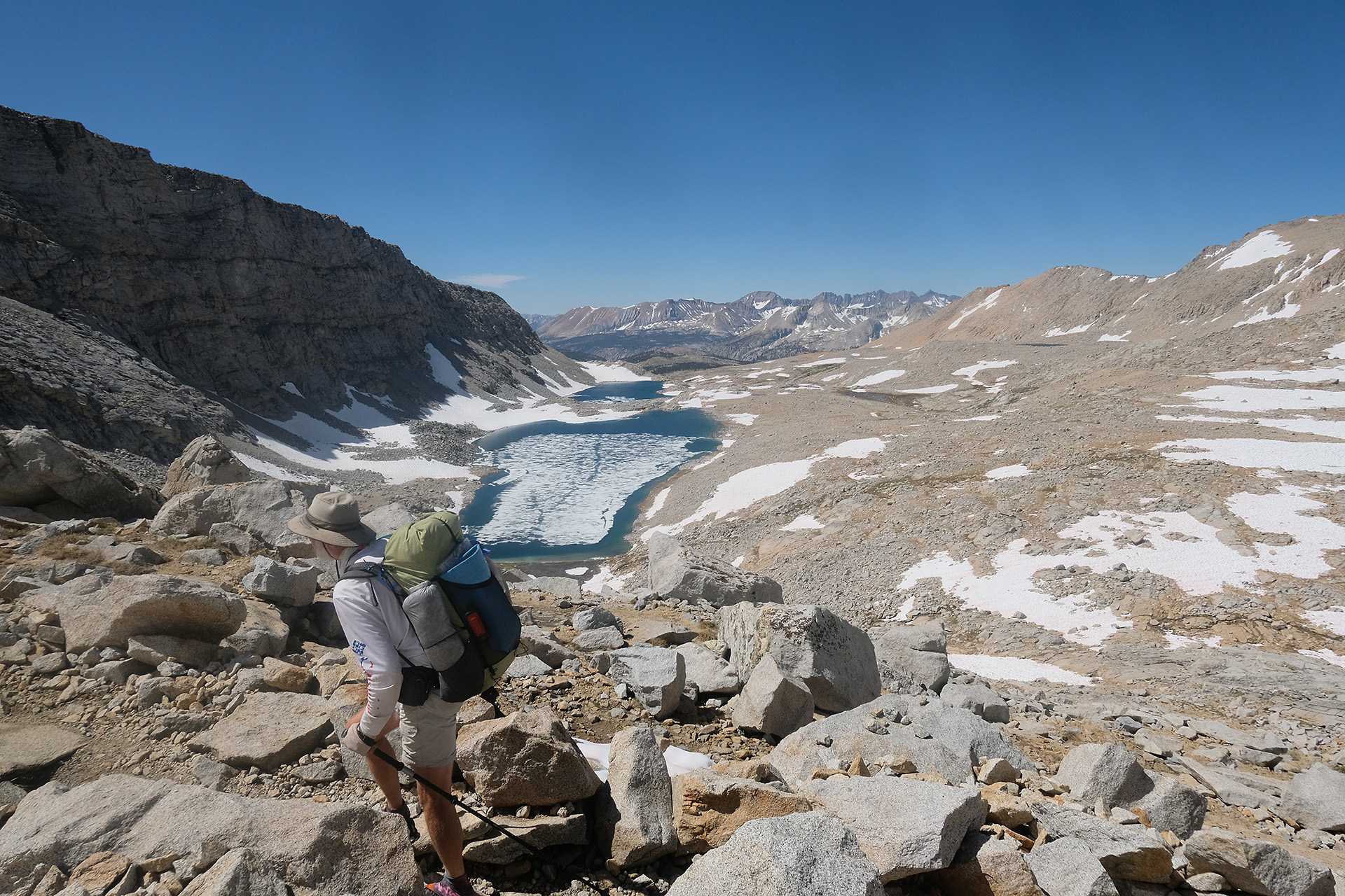
There were quite a lot of hikers heading up and coming down these switchbacks which were free of snow. Even the notorious “chute” had melted down so far that the trail was just exposed. Apart from the height and thin air it was an easy hike, but I may not have liked it under more adverse conditions. Finally I reached the top at 11:30 am.

The chute 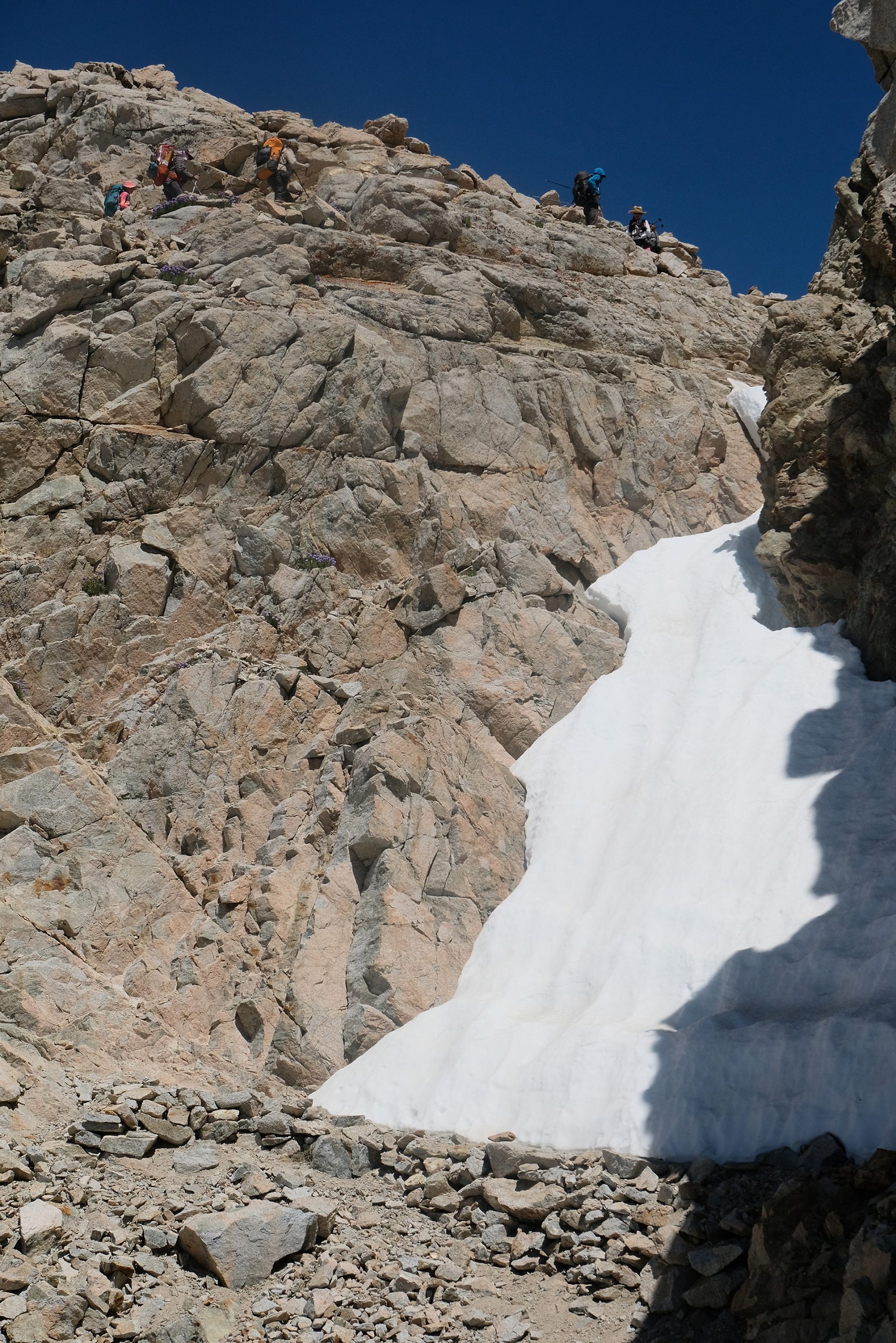

Easy trail now – but with snow? 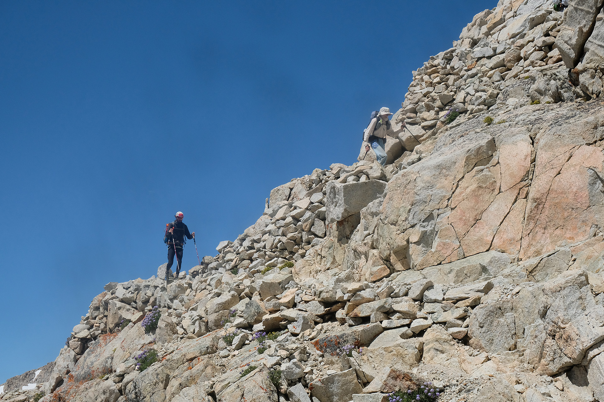

On top 
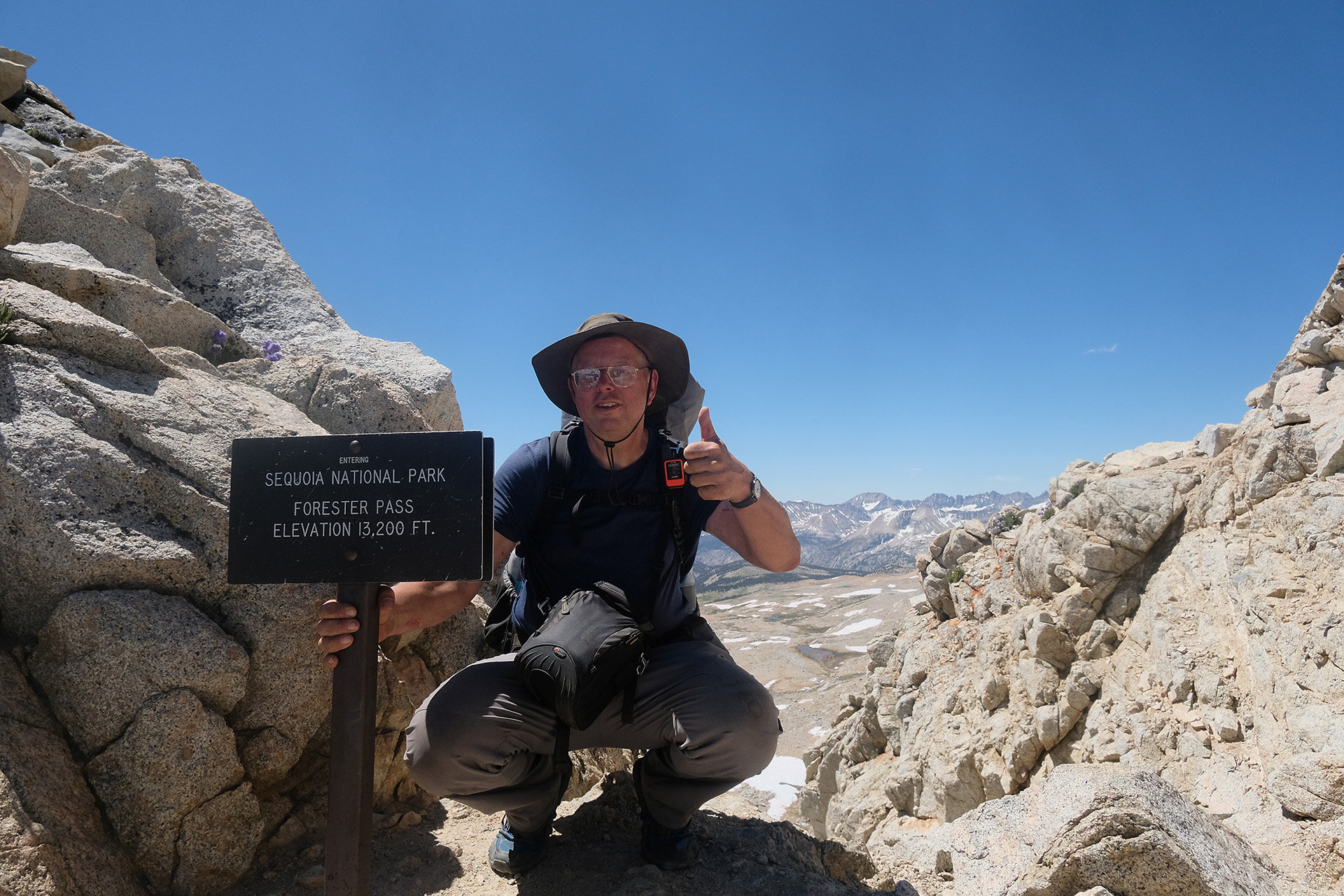
Made it!
After a break on the pass and some talk with the other hikers I continued down. Soon the trail disappeared to the right under a snow field but a boot track continued straight. I used my crampons – the first and only time on the trail – while some people in front of me had no aids. This boot track seemed to run on a shoulder for quite a distance, on snow interrupted by some rock climbing here and there. I was not happy about this path – you cannot walk well with crampons over boulders. So I looked for an alternative.
I found the original trail with the help of Guthook JMT and could spot it free of snow just one or two switchbacks down from where I was. So I left the group and carefully went down a snowy 30° slope with the help of my crampons and hiking poles. After a short rocky section I was back on the original trail. And I could walk there much better and faster than along the boot track, just had to pass 2 or 3 short snow patches of a few meter length on flat terrain.
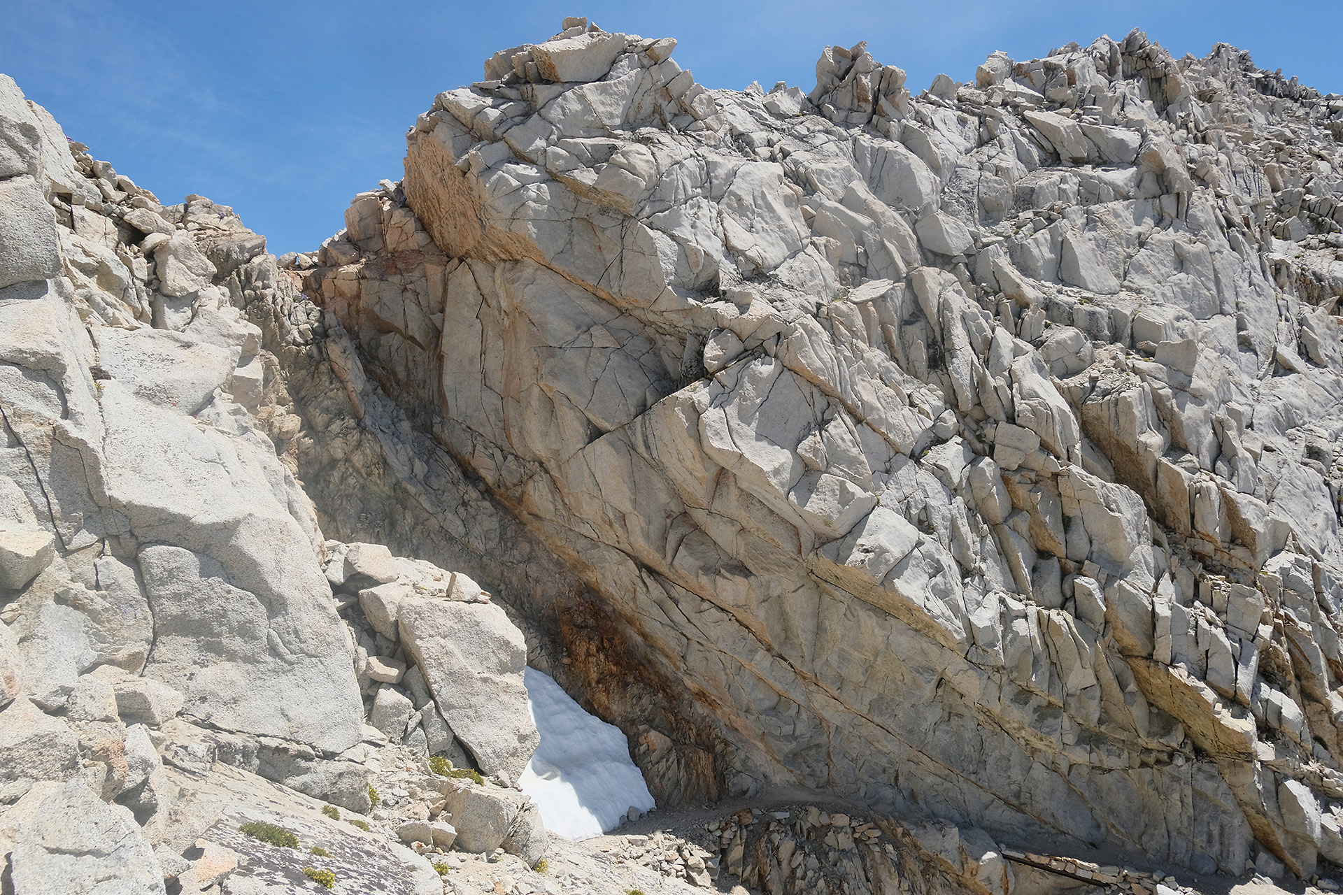
And, look! – there I saw something orange in the snow and collected it -I had found a Garmin InReach! Someone obviously had lost it there. I put it into my pack and continued. But then the trail was going up again and disappeared in a huge snow cornice! I was lucky: the right end of this small ridge was free of snow, and I could easily climb up there and shorten the switchback. Now I was really back on a good part of the trail, and much ahead of the group I had left after the pass.
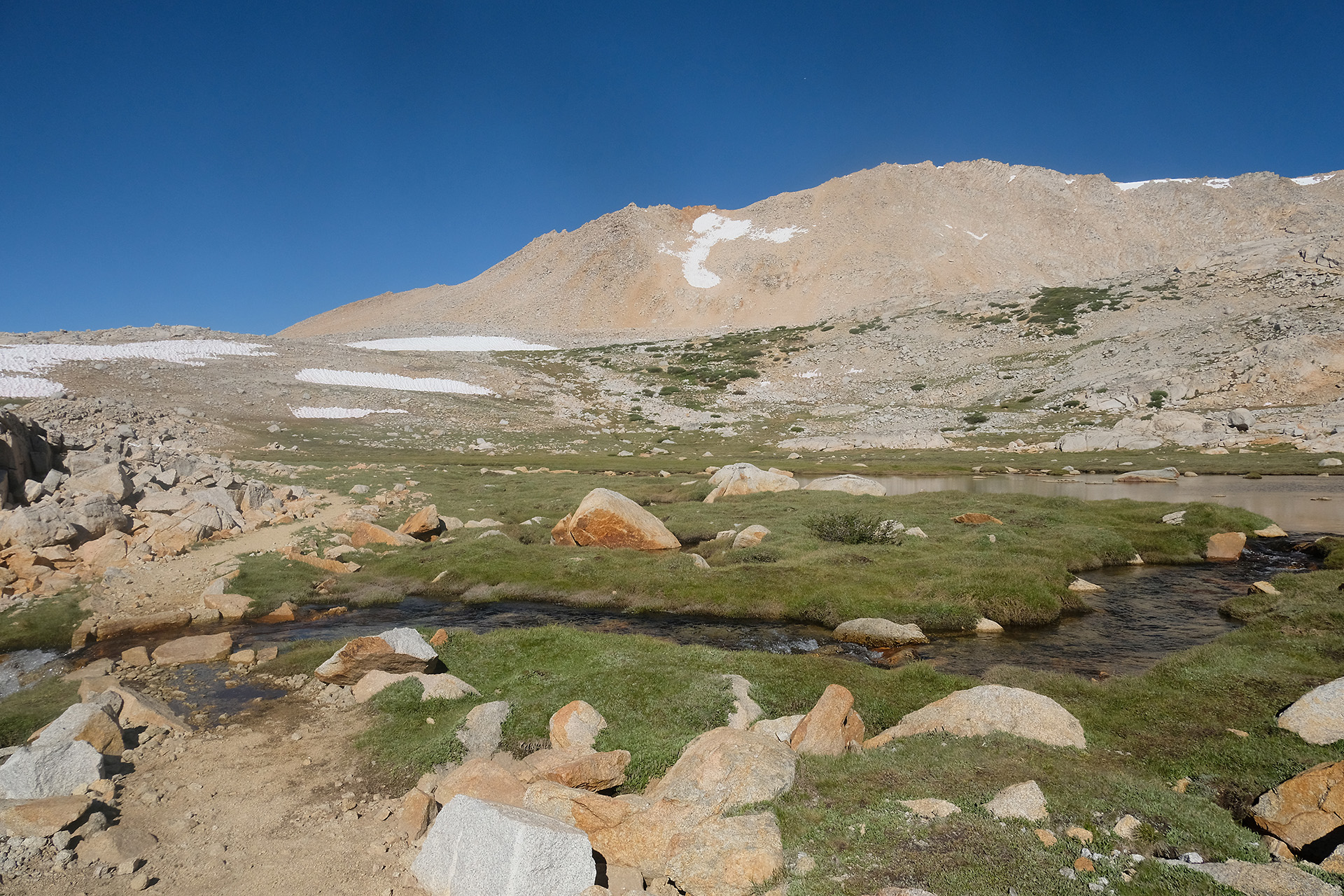
Some more short snow fields followed which I passed without crampons using the well established tracks.
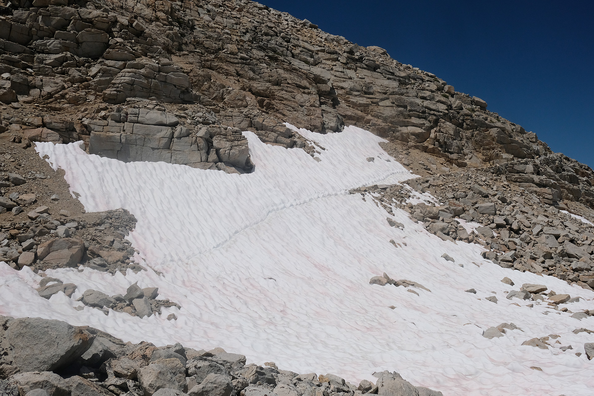
Short snow field 

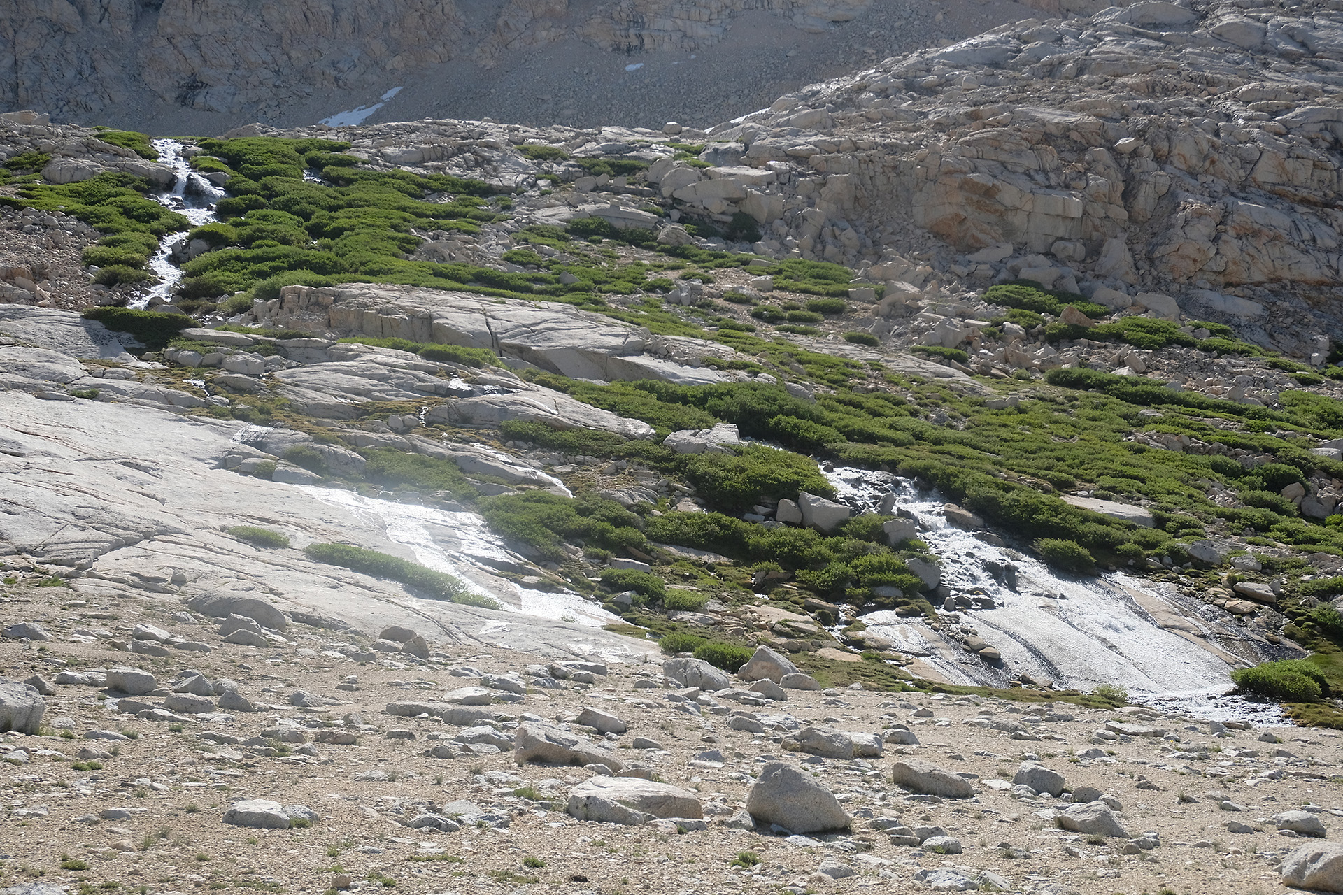
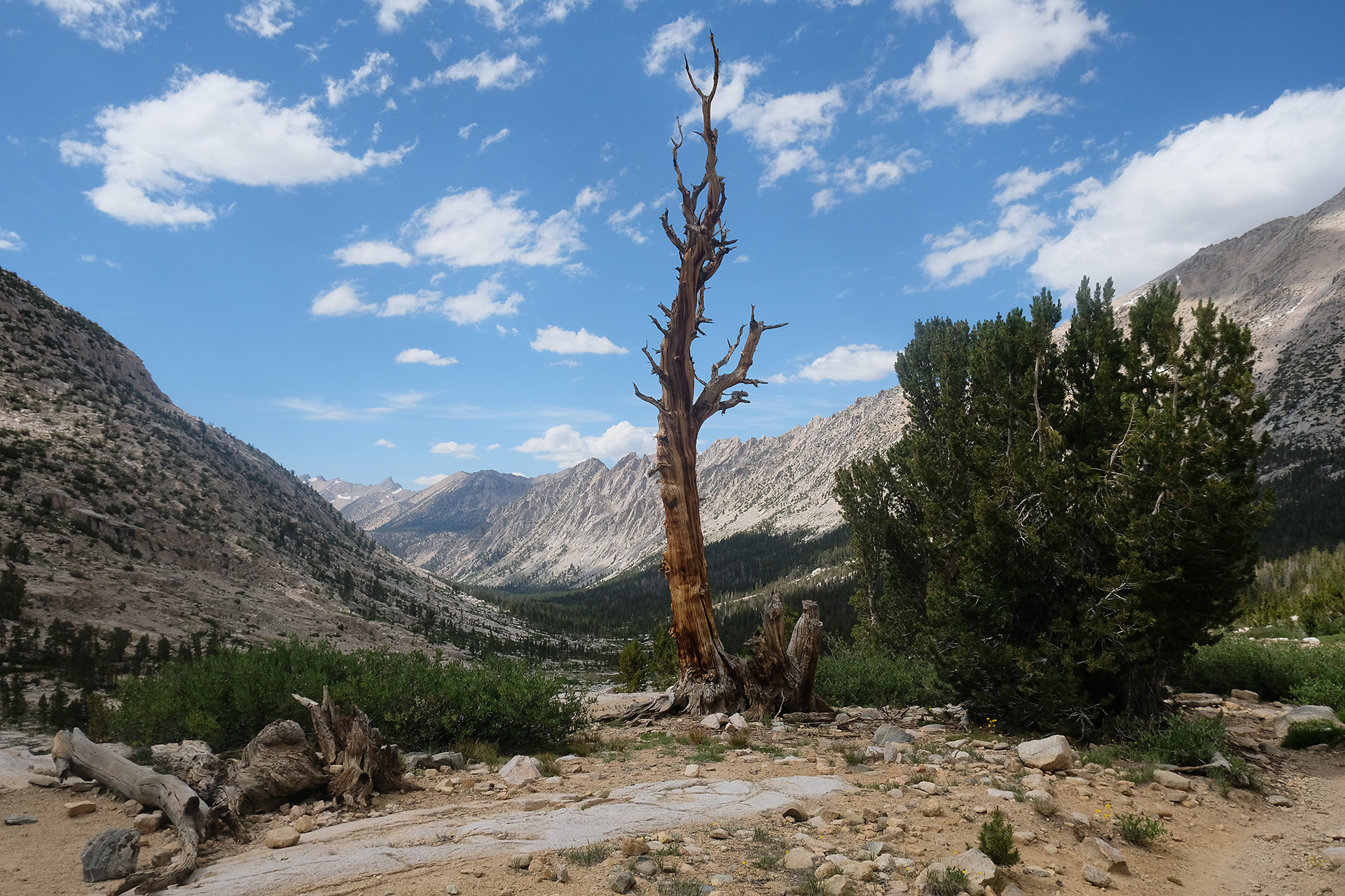
Bubbs Creek
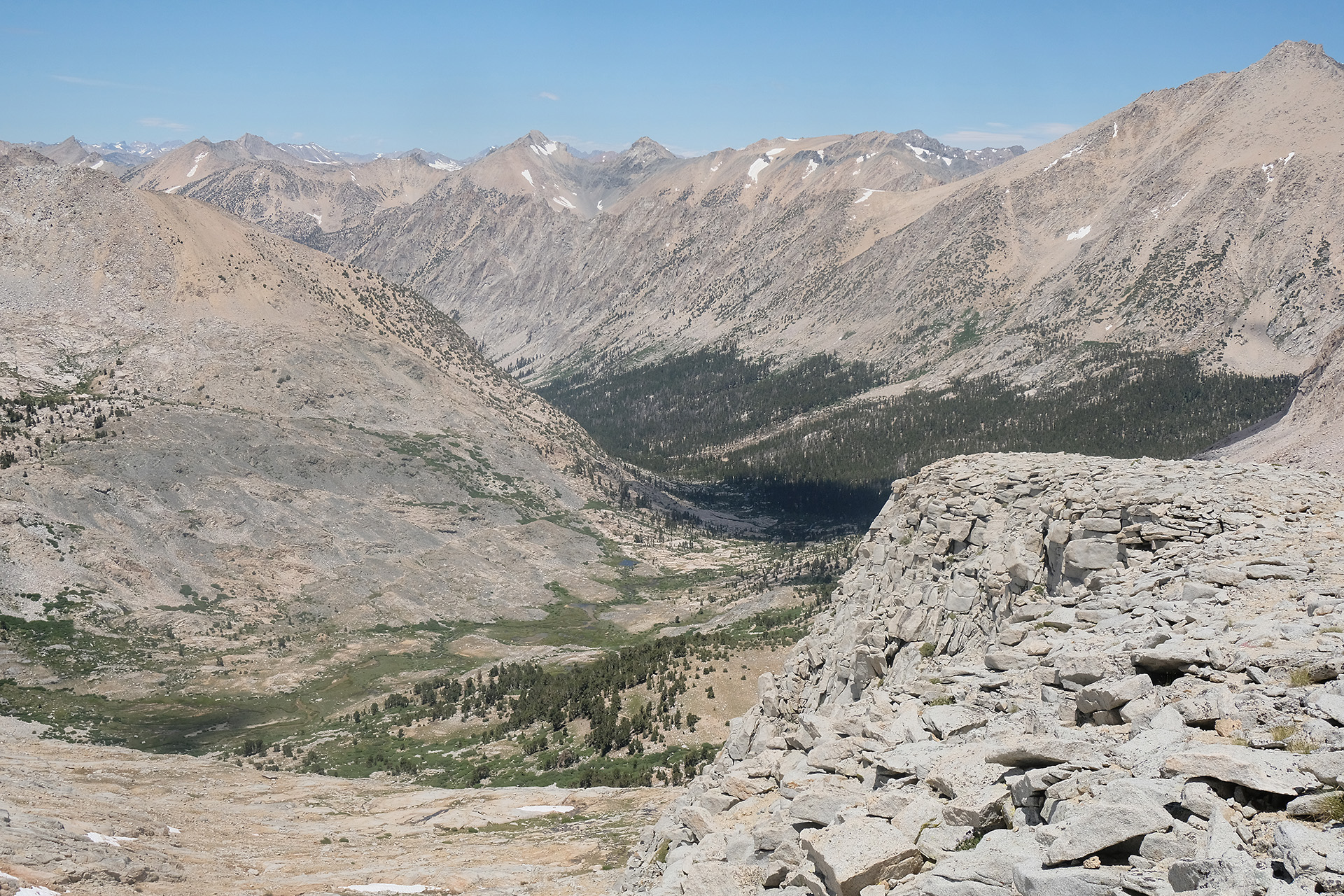
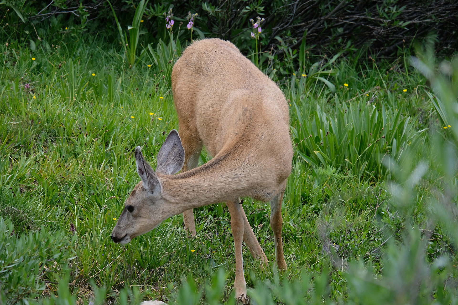
With lower elevation more and more vegetation appeared, also a lot of water from the melting snow; later I saw a deer close to the trail. From 13.200 ft down to 9.500 ft (Vidette Meadow) it was a lot of downhill walk. At 5:30 pm I crossed Bubbs Creek.
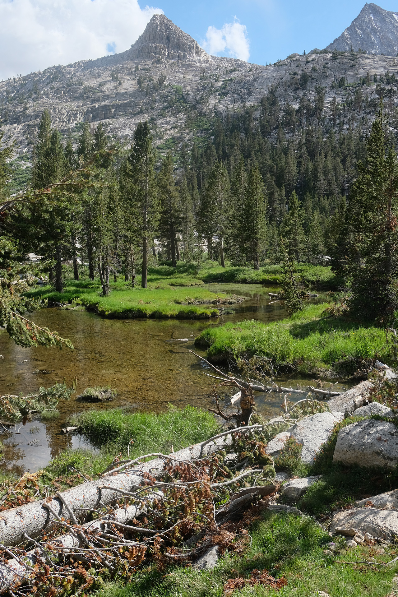
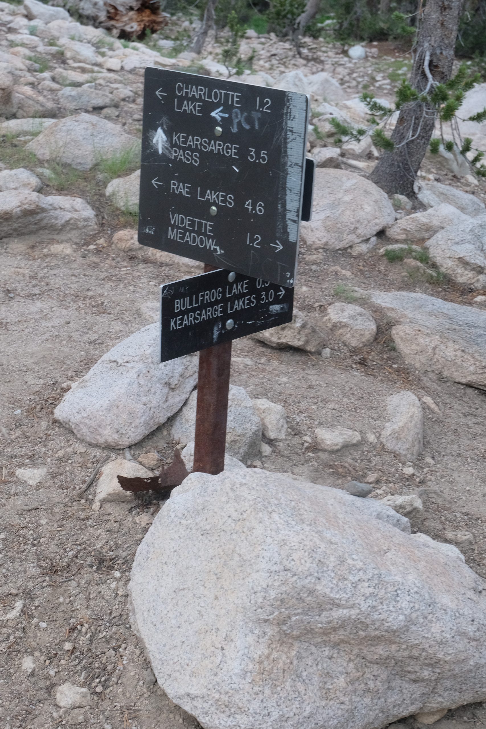
I had to continue and hike uphill again after Vidette Meadow, another mile and 1000 ft elevation, to reach a good starting point for tomorrow. I found it at the Bullfrog Lake Trail junction. While the Bullfrog Lake itself is a no-camping area, there are 2 or 3 tent sites close to the trail directly at the junction. There I set up my tent after a long day. Tomorrow I will make a round trip down to Onion valley, to replace the diminishing food supply in my bear can.