(all images are clickable for a larger version)

Another late start around 9 am. I needed quite some time for the morning routine, and often the sun reaches the tent site in a valley only at 8 am.
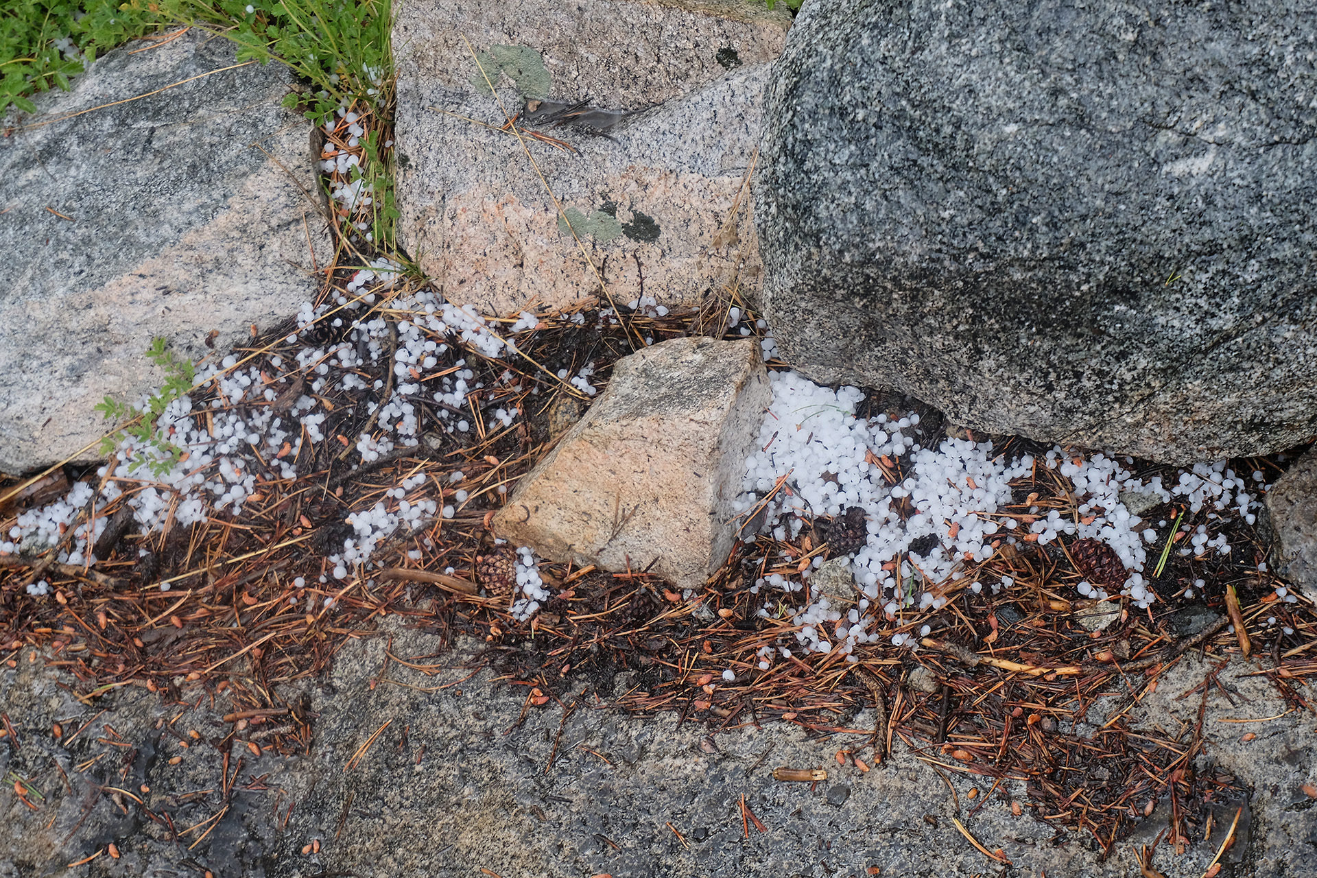
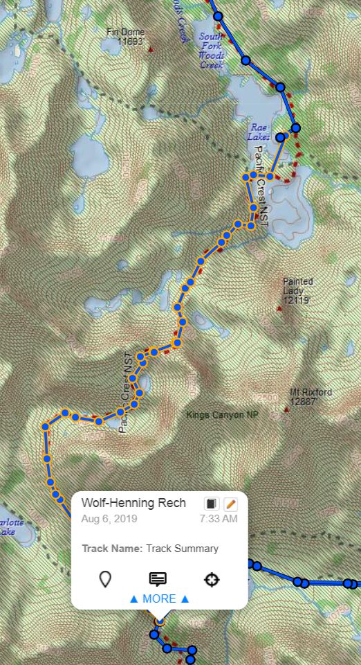
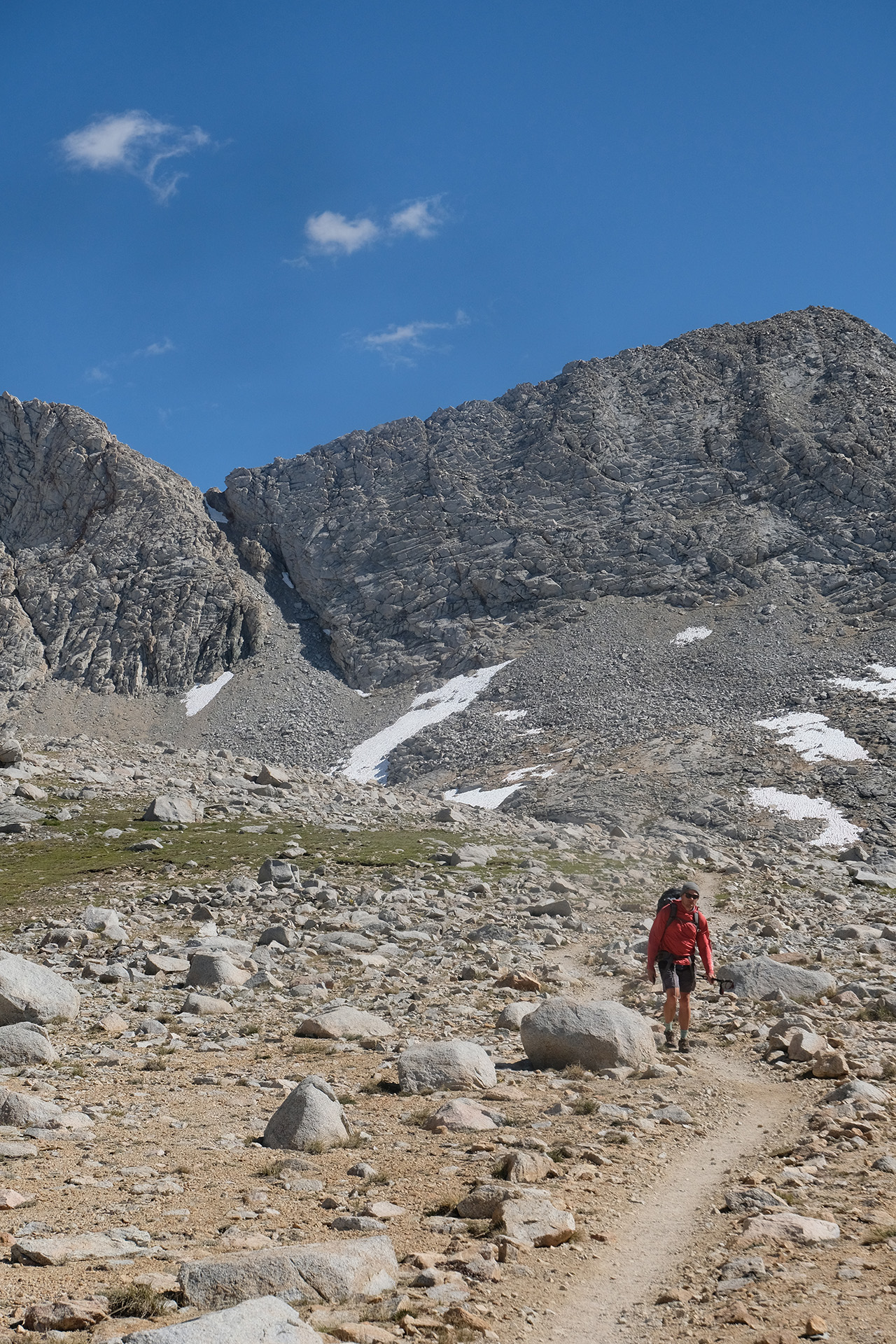
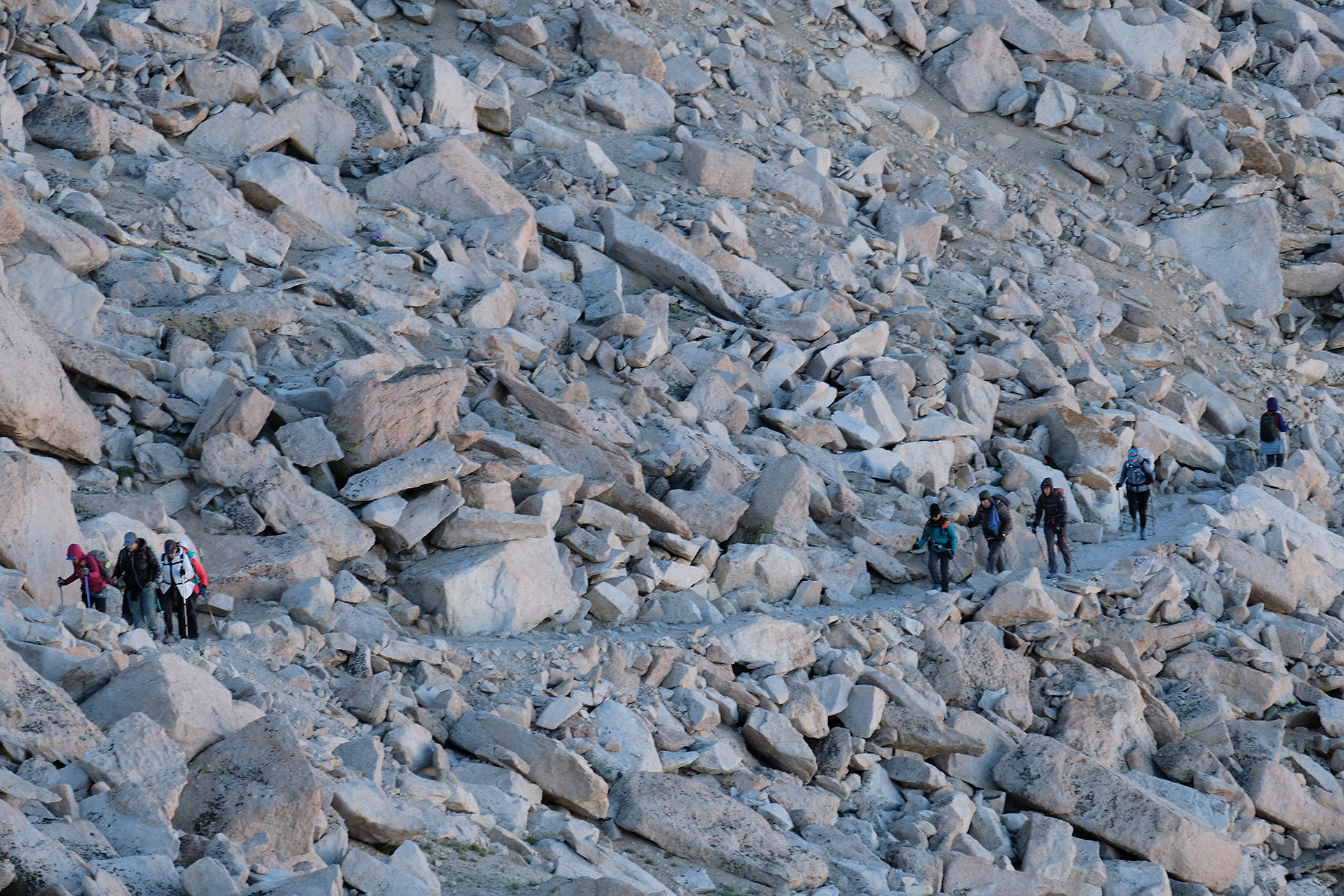
The pass is 4.5 miles away, with 2.300 ft elevation to go. I passed the Sawmill Pass trail and continued uphill for 3 hours. Around 11 am it started to rain so I stopped and fetched my rain jacket. When I had put it on the rain ceased again. So back to T shirt. And though the sky stayed dark and cloudy there was no more rain. In fact, these were the last rain drops during the whole hike!

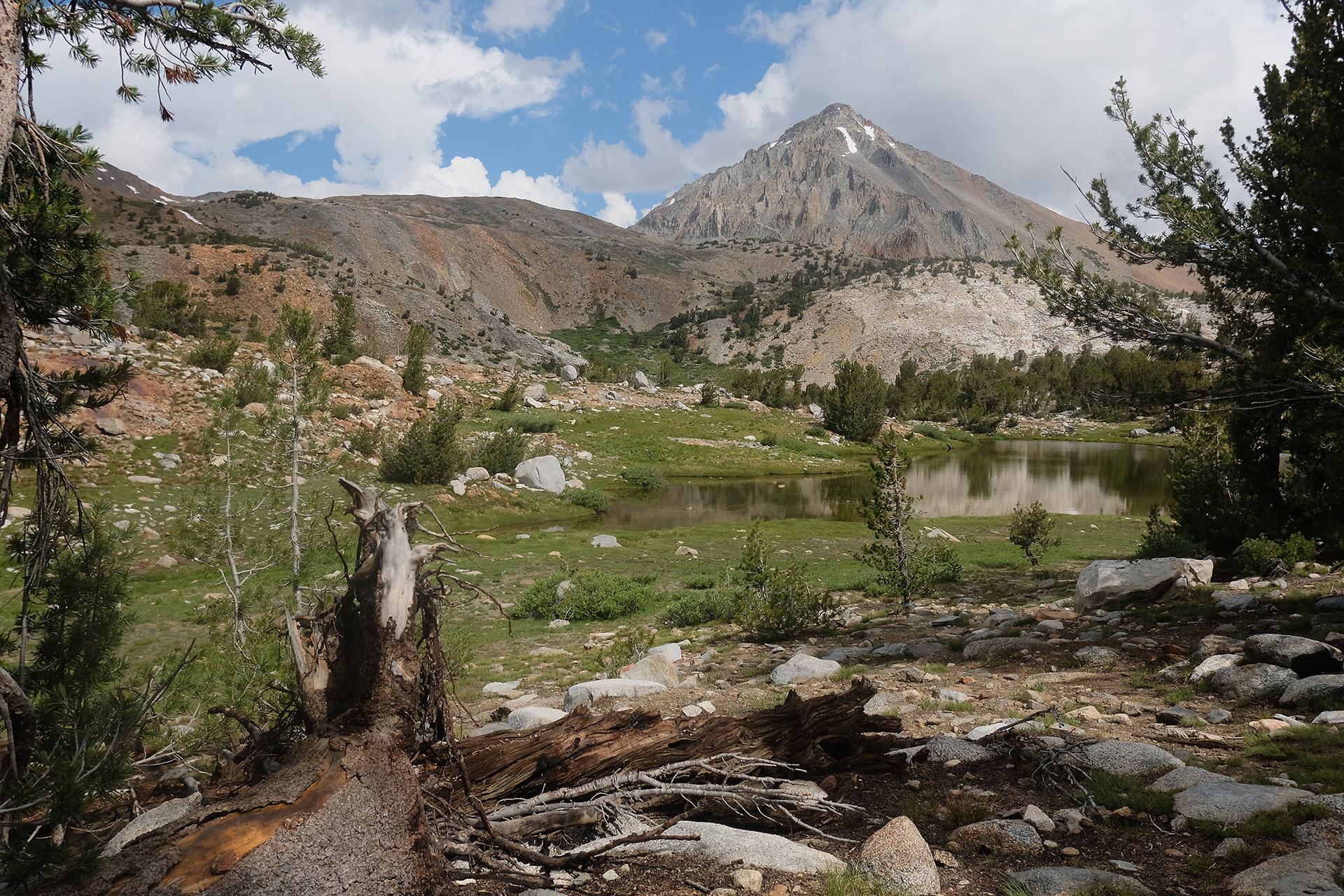
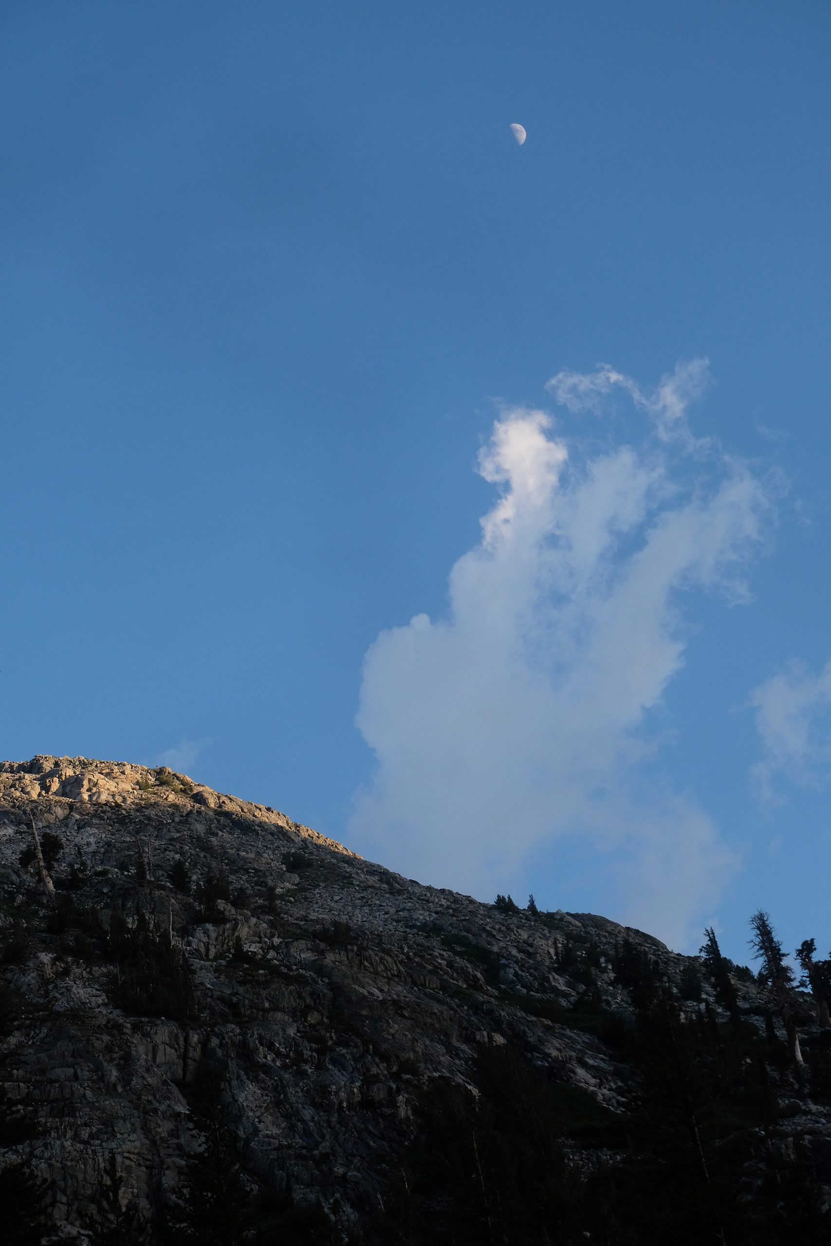
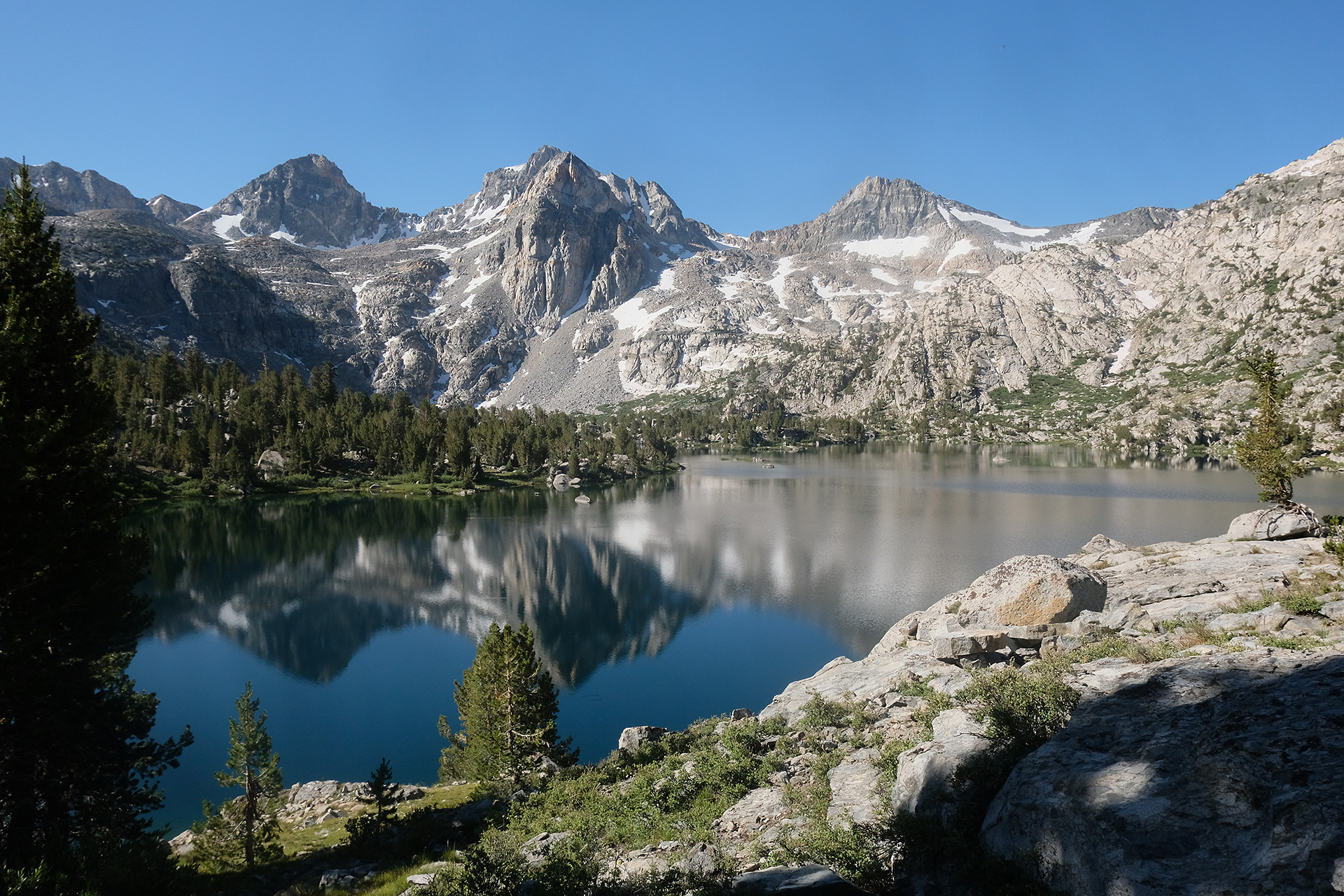
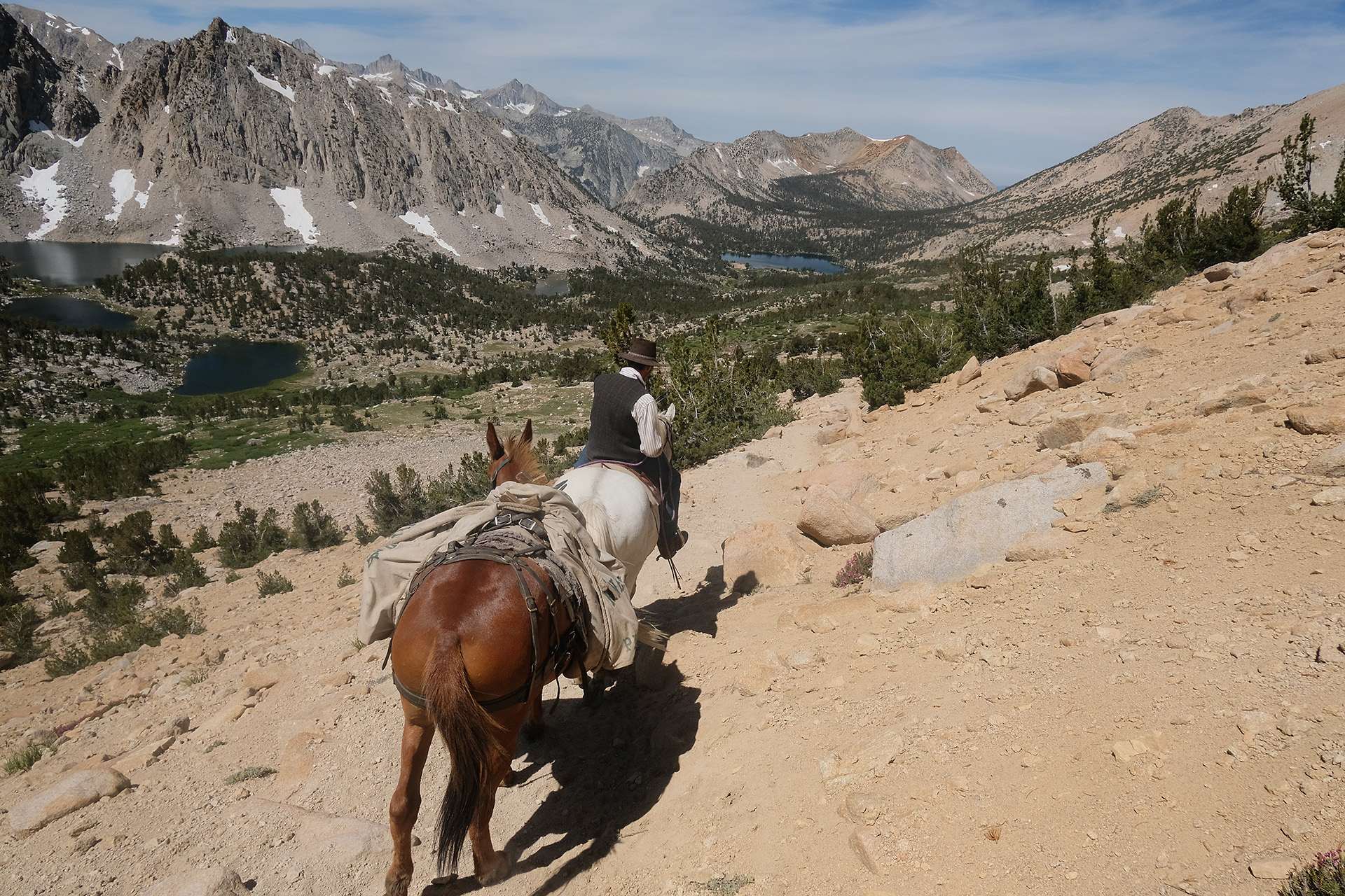
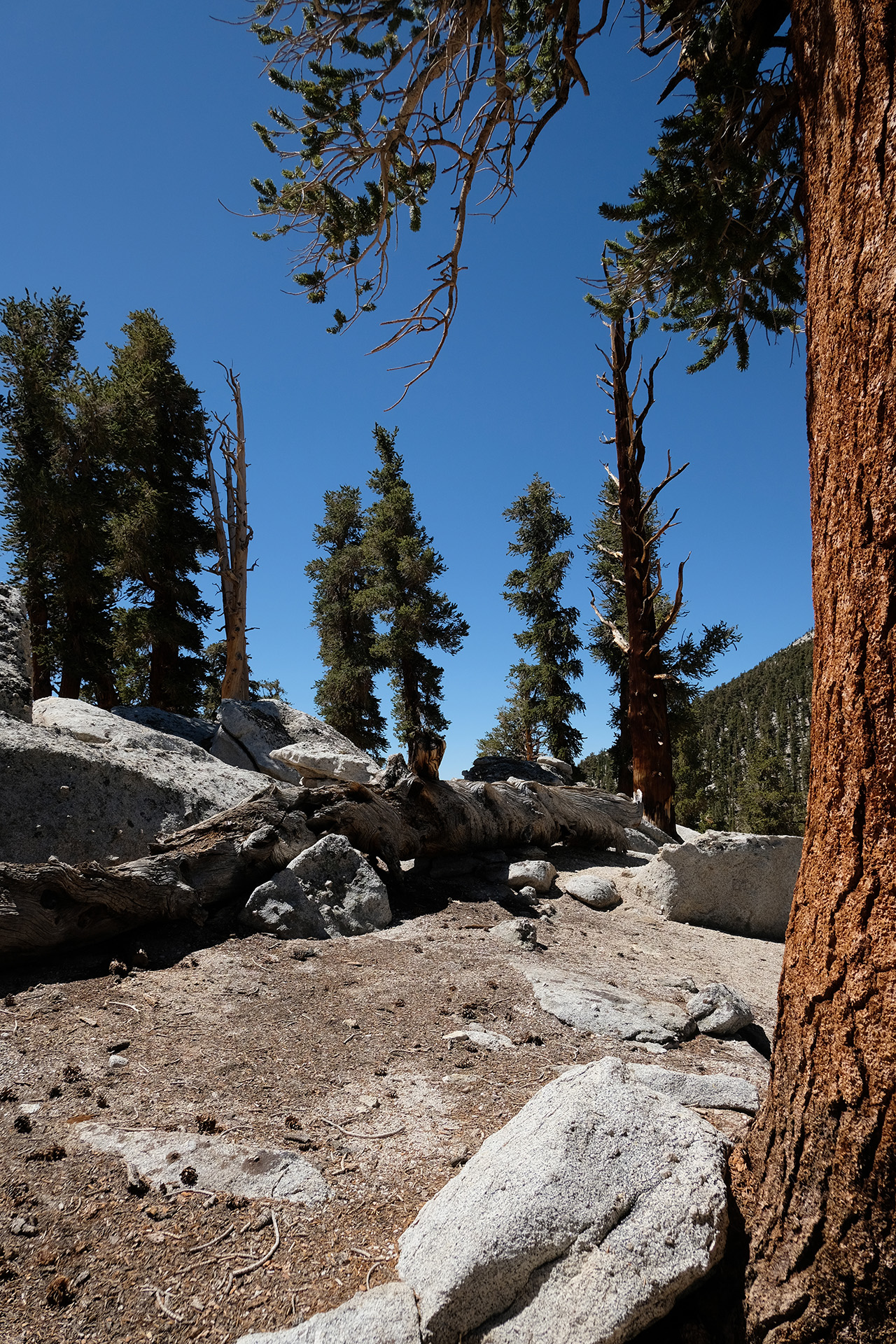
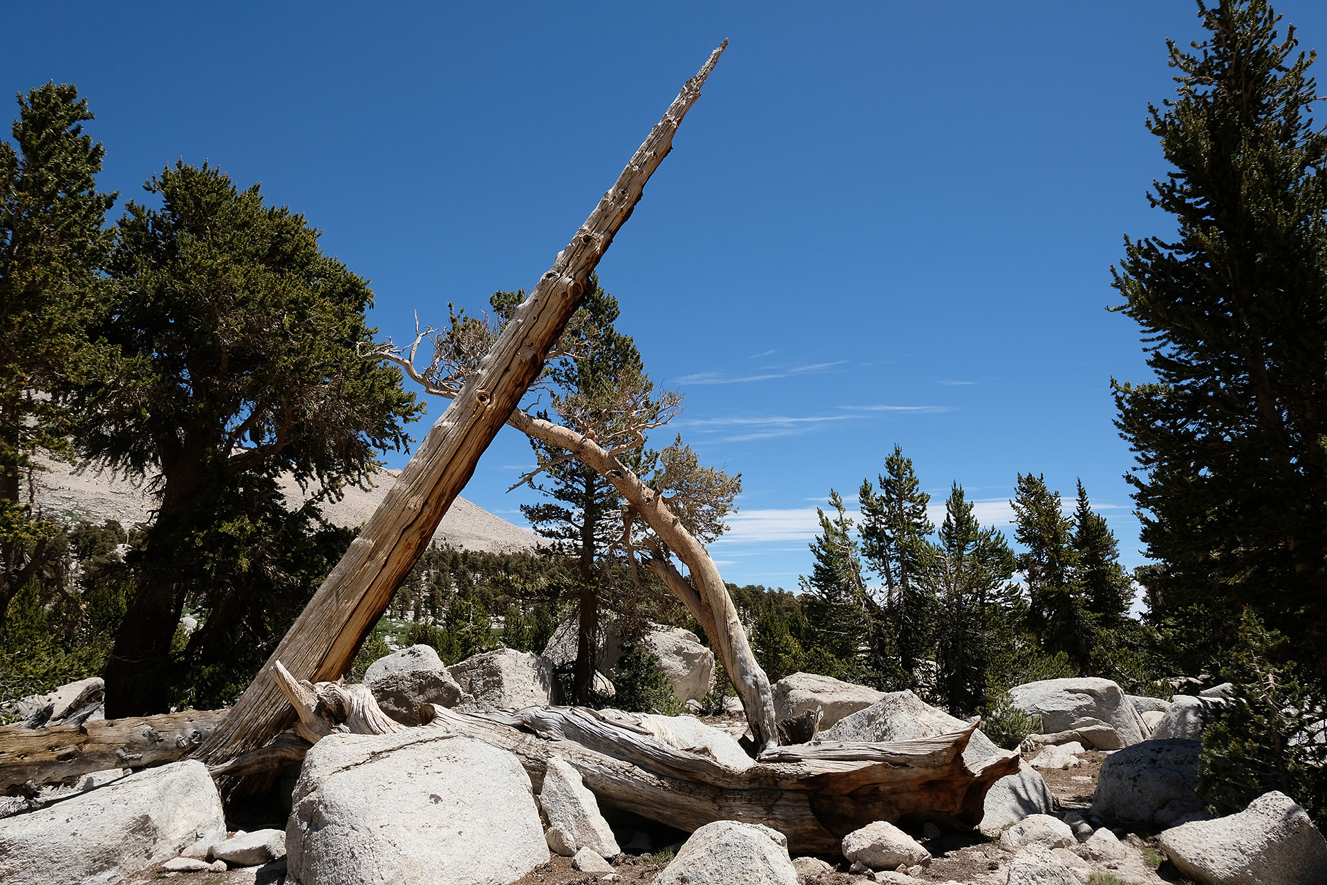
South of Twin Lakes 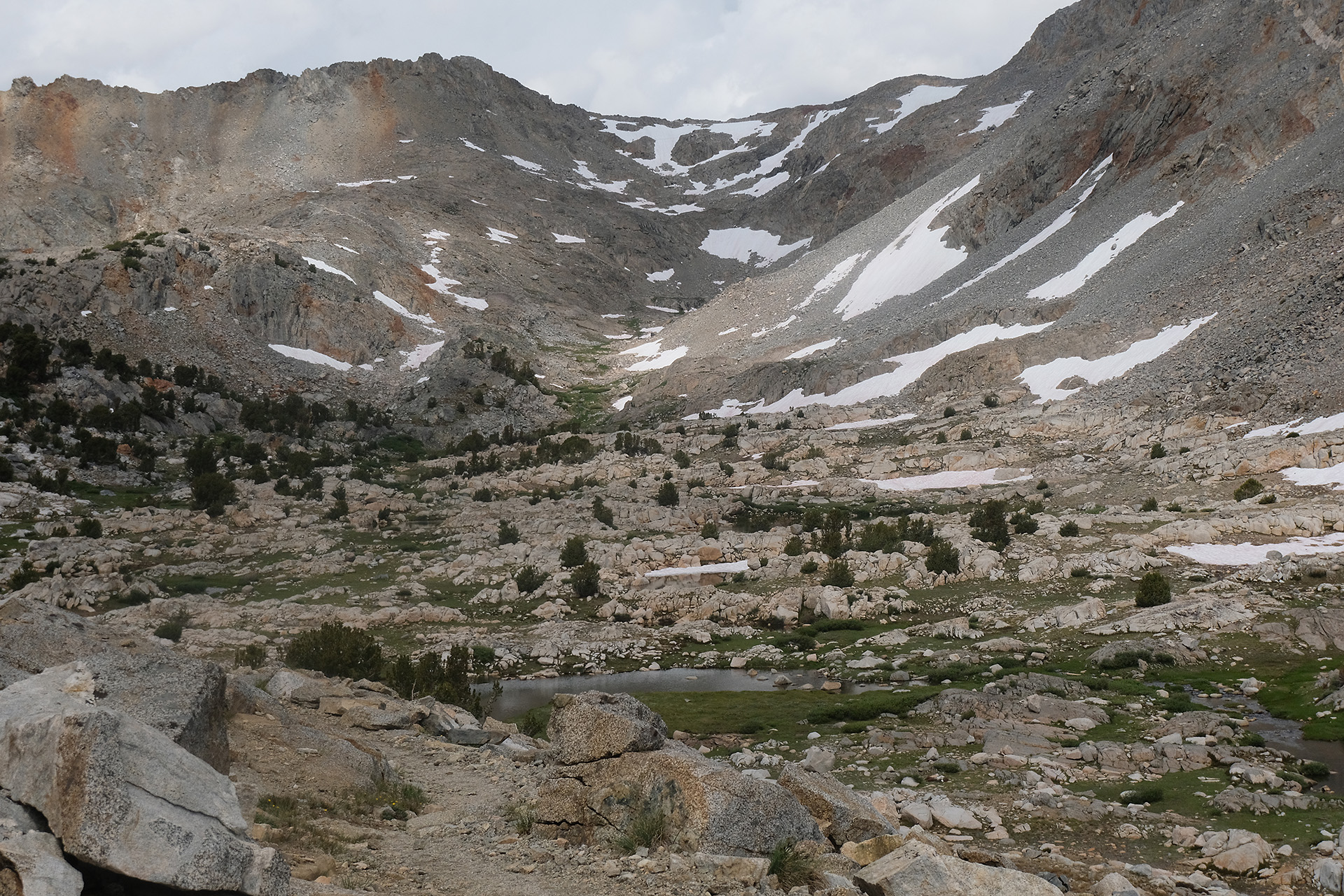
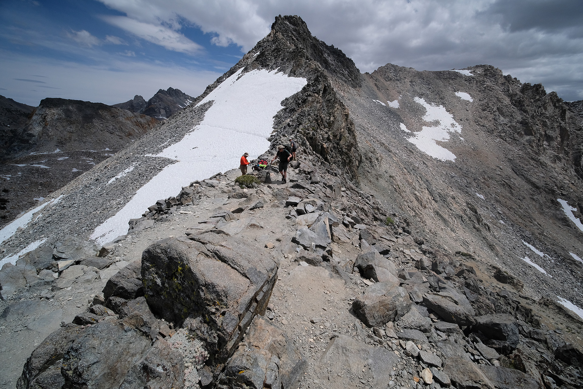
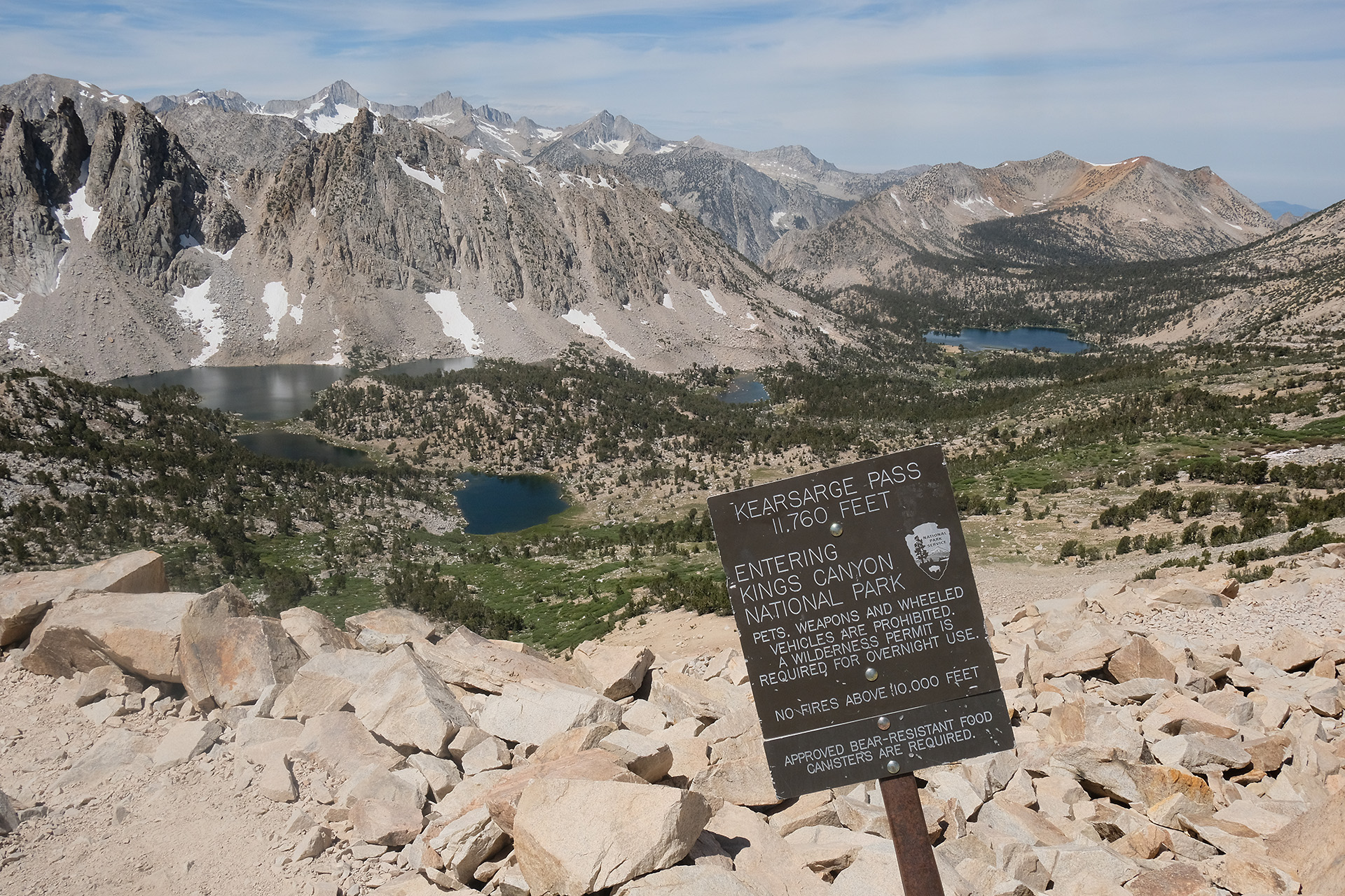
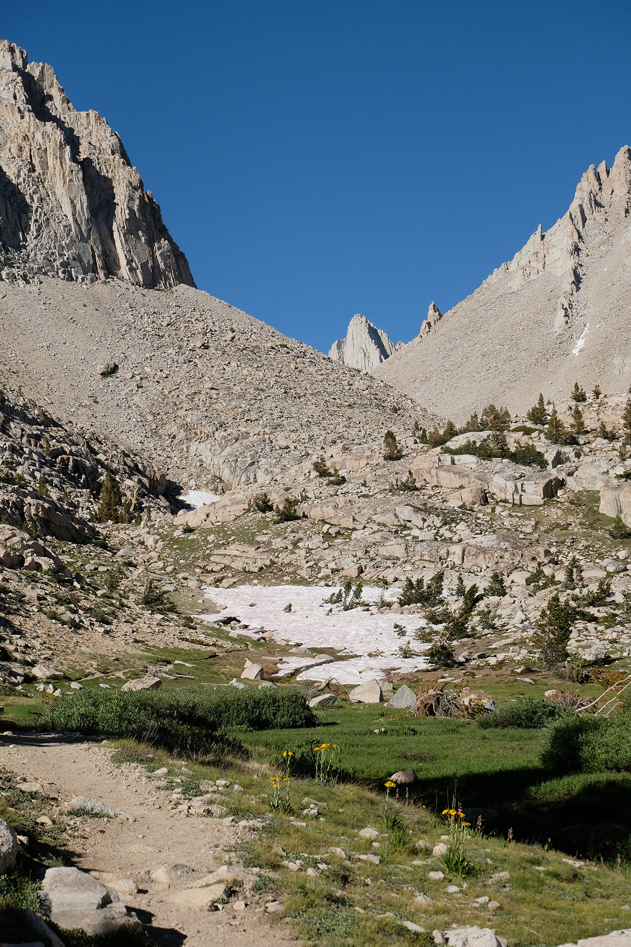
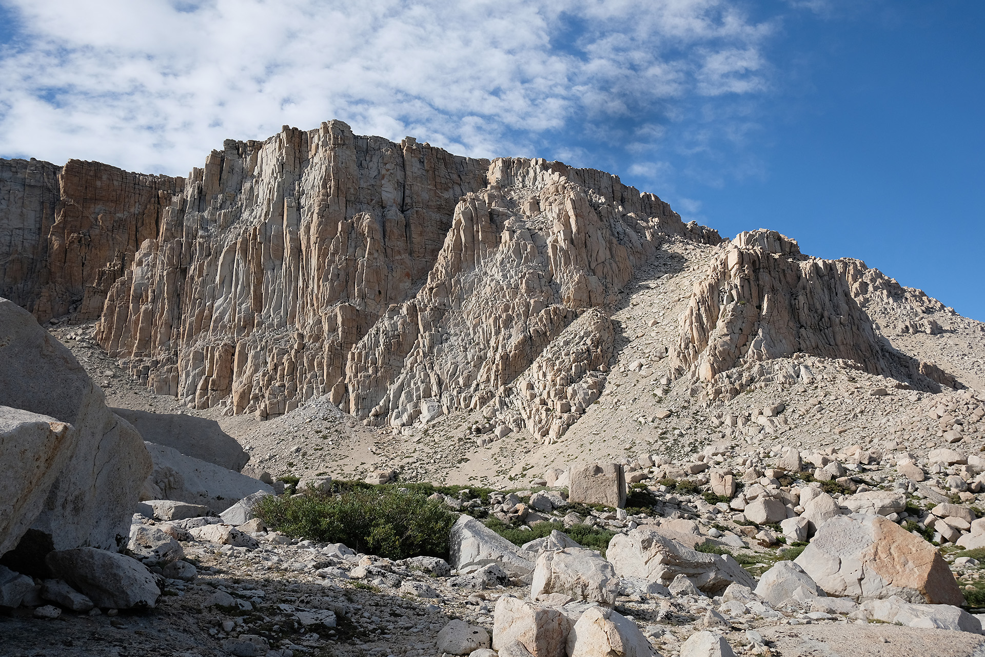
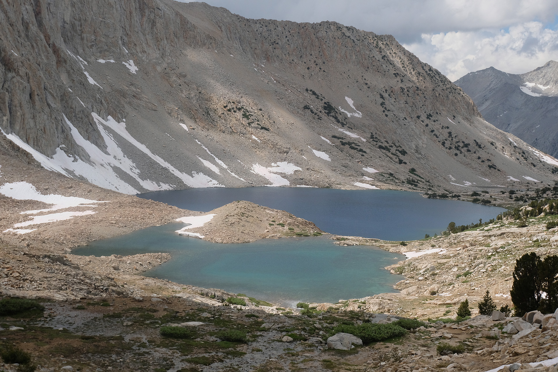
Pinchot Pass
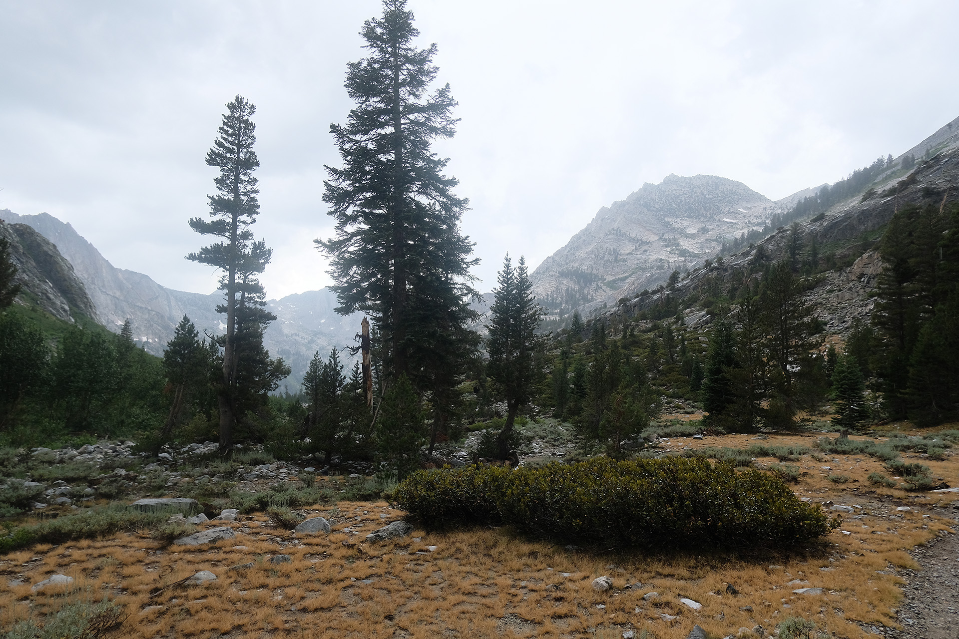
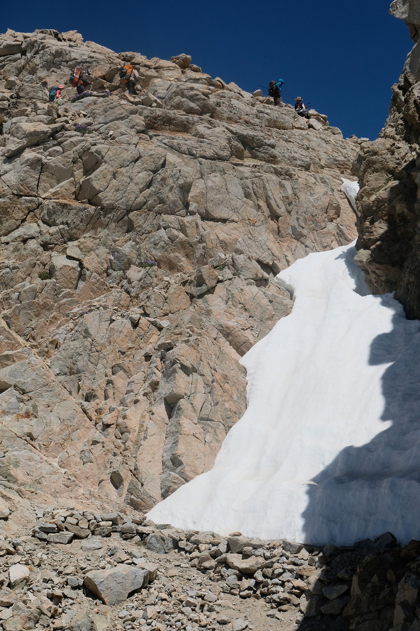
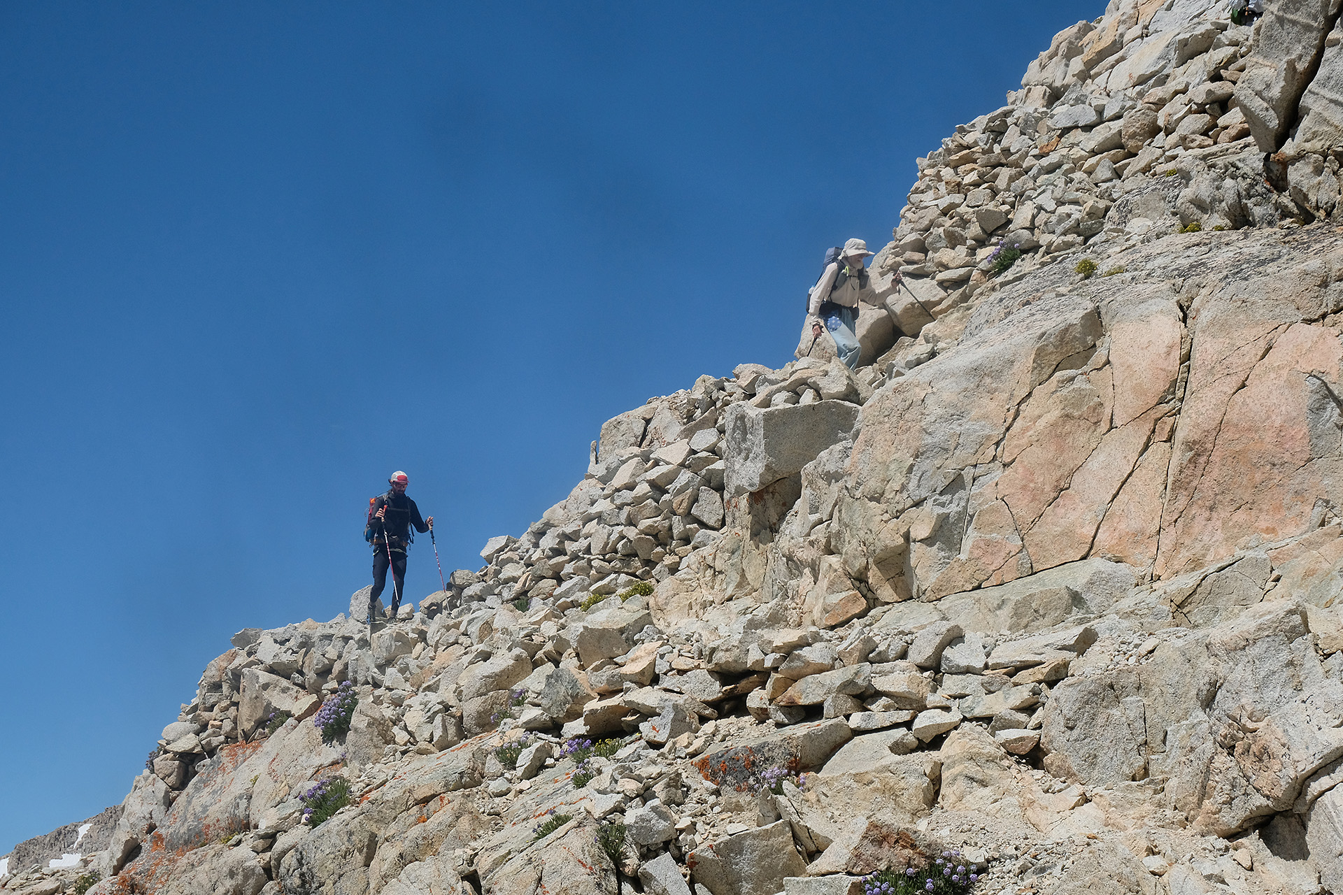
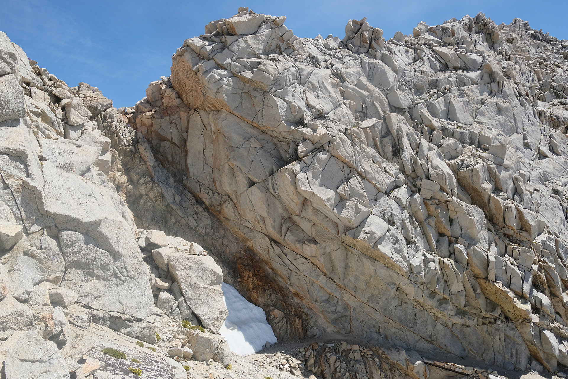
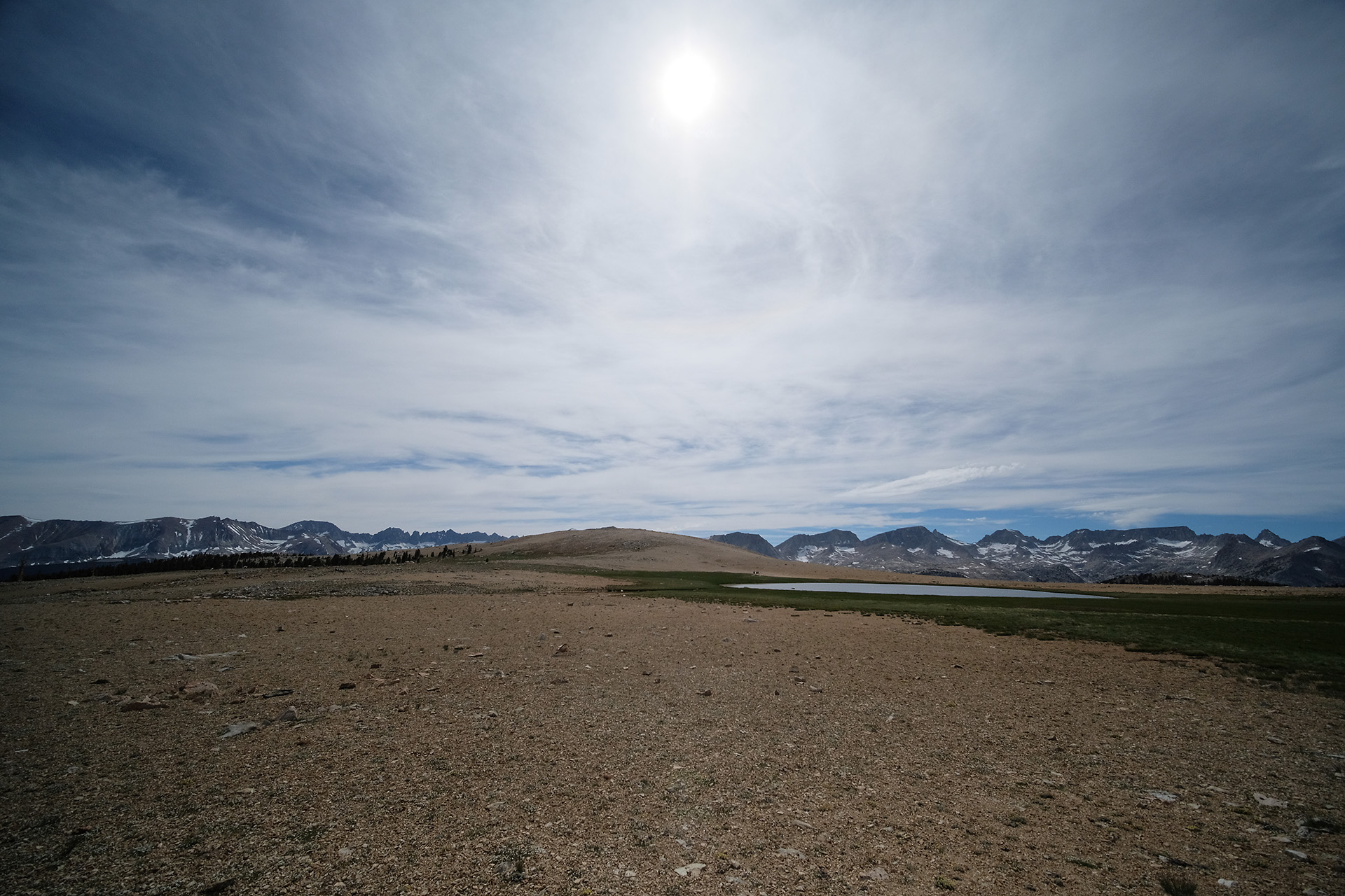
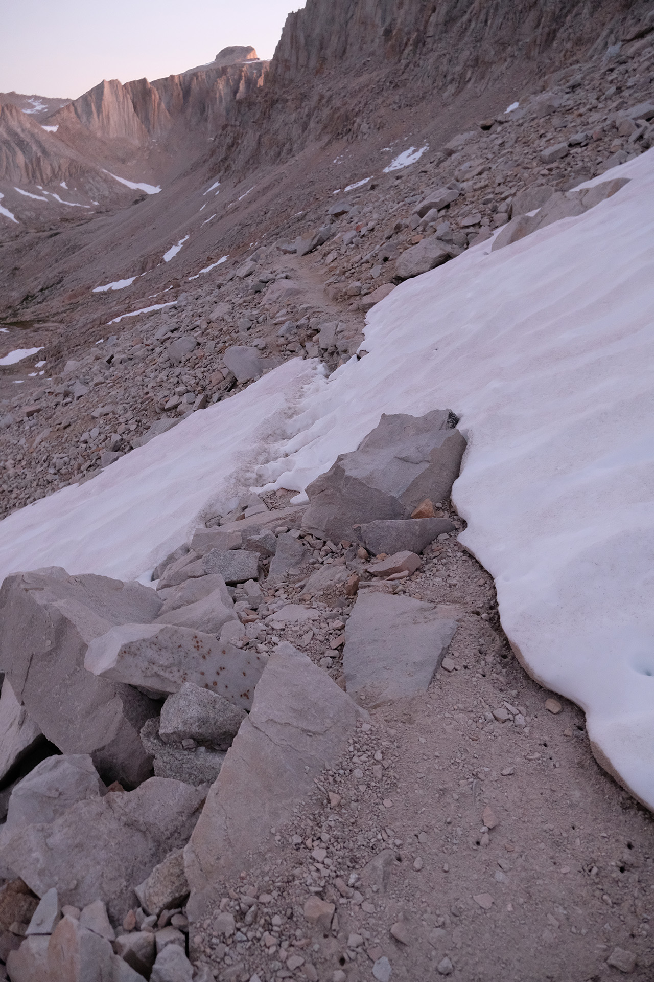
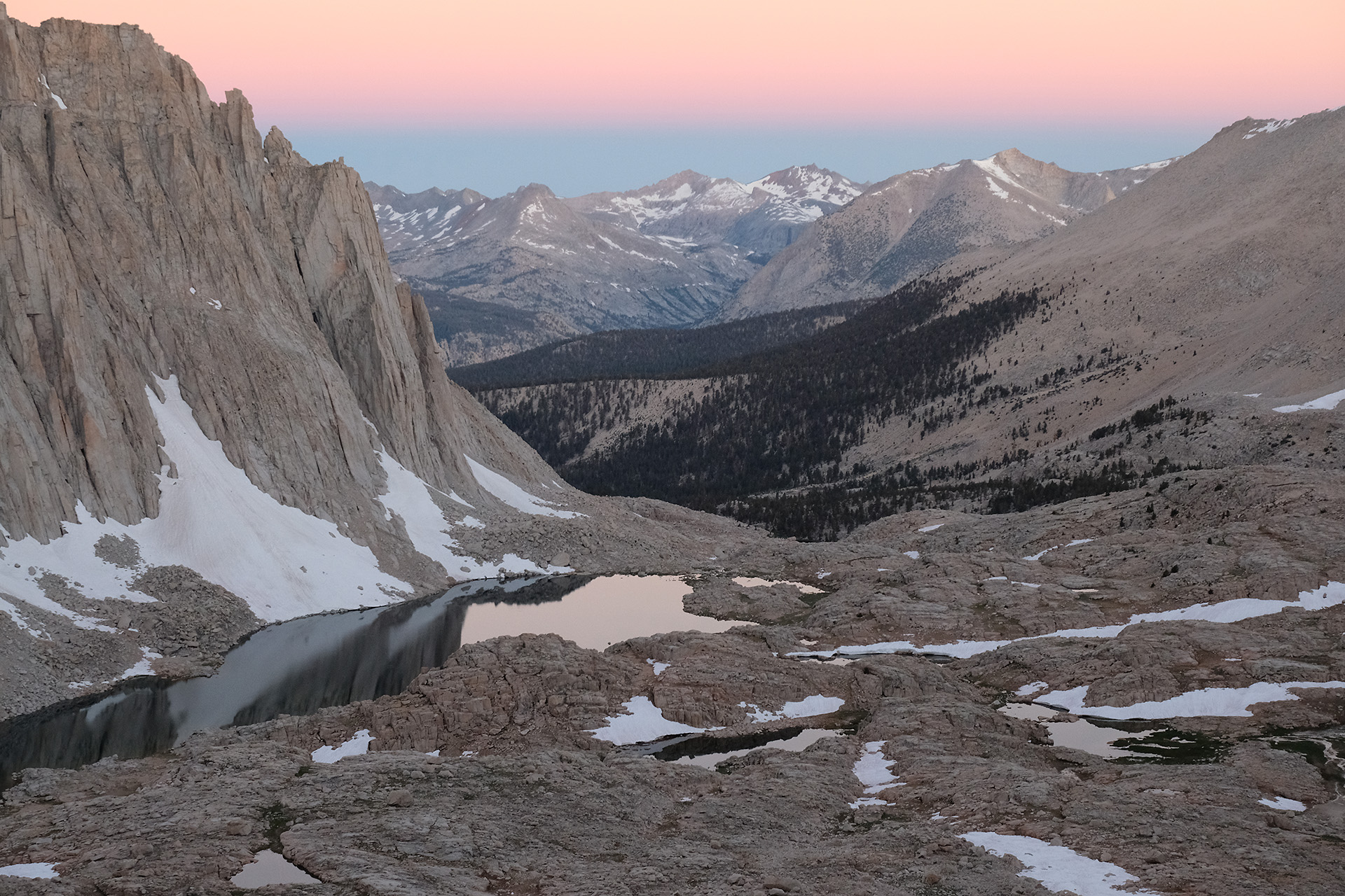
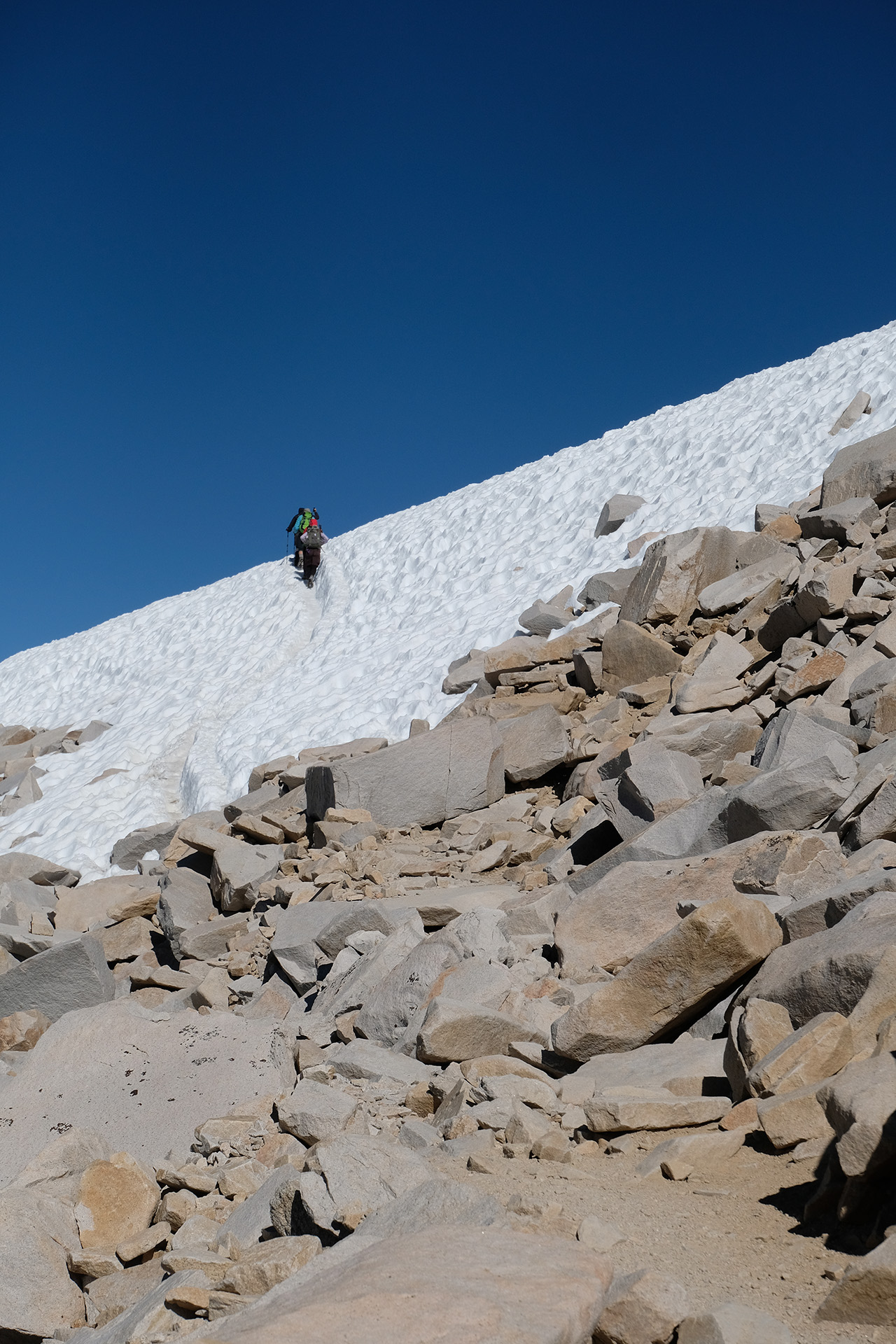
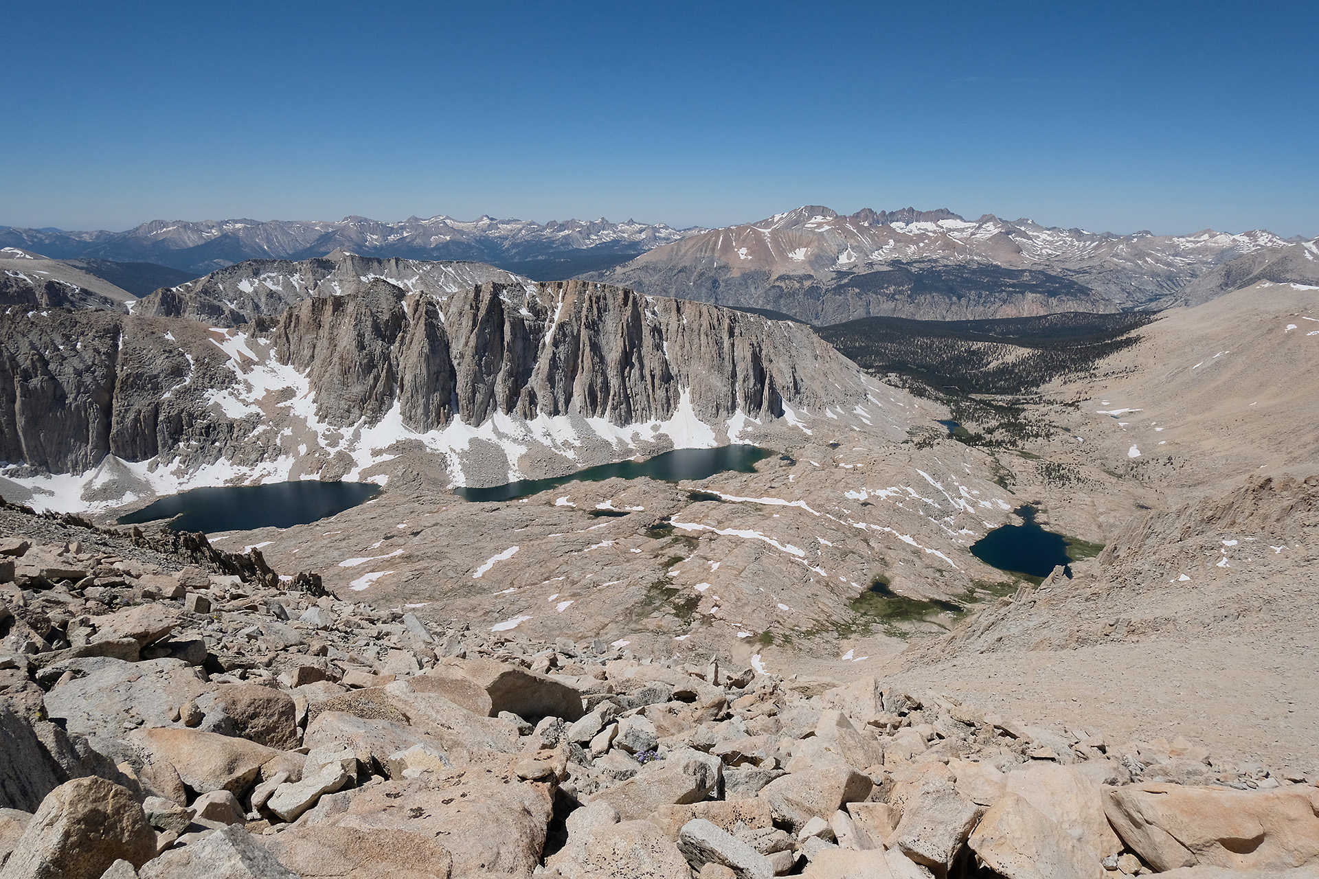
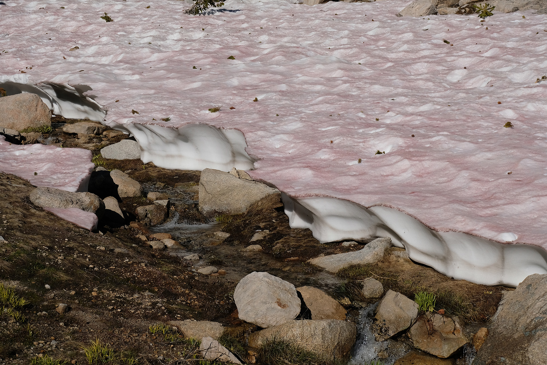
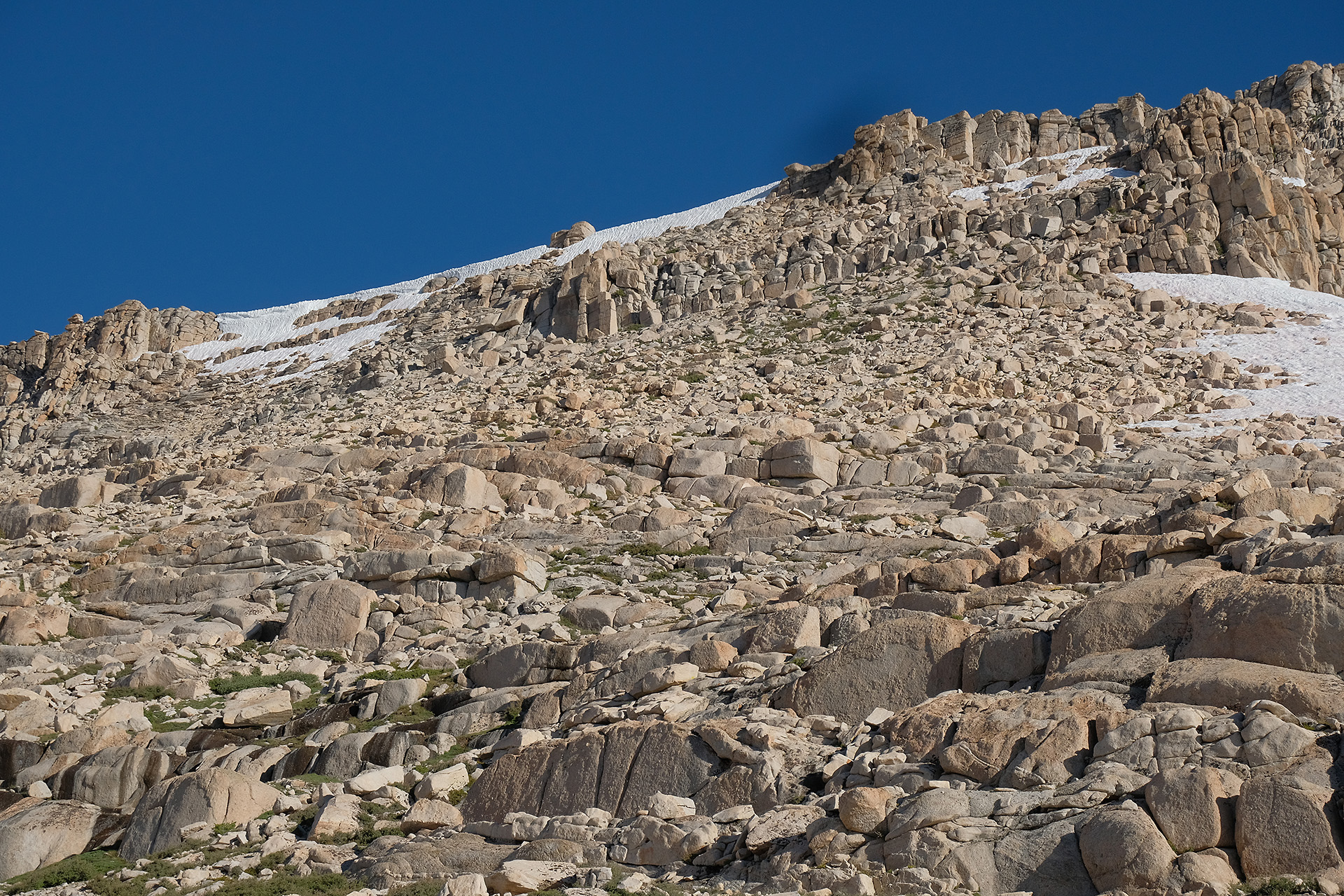
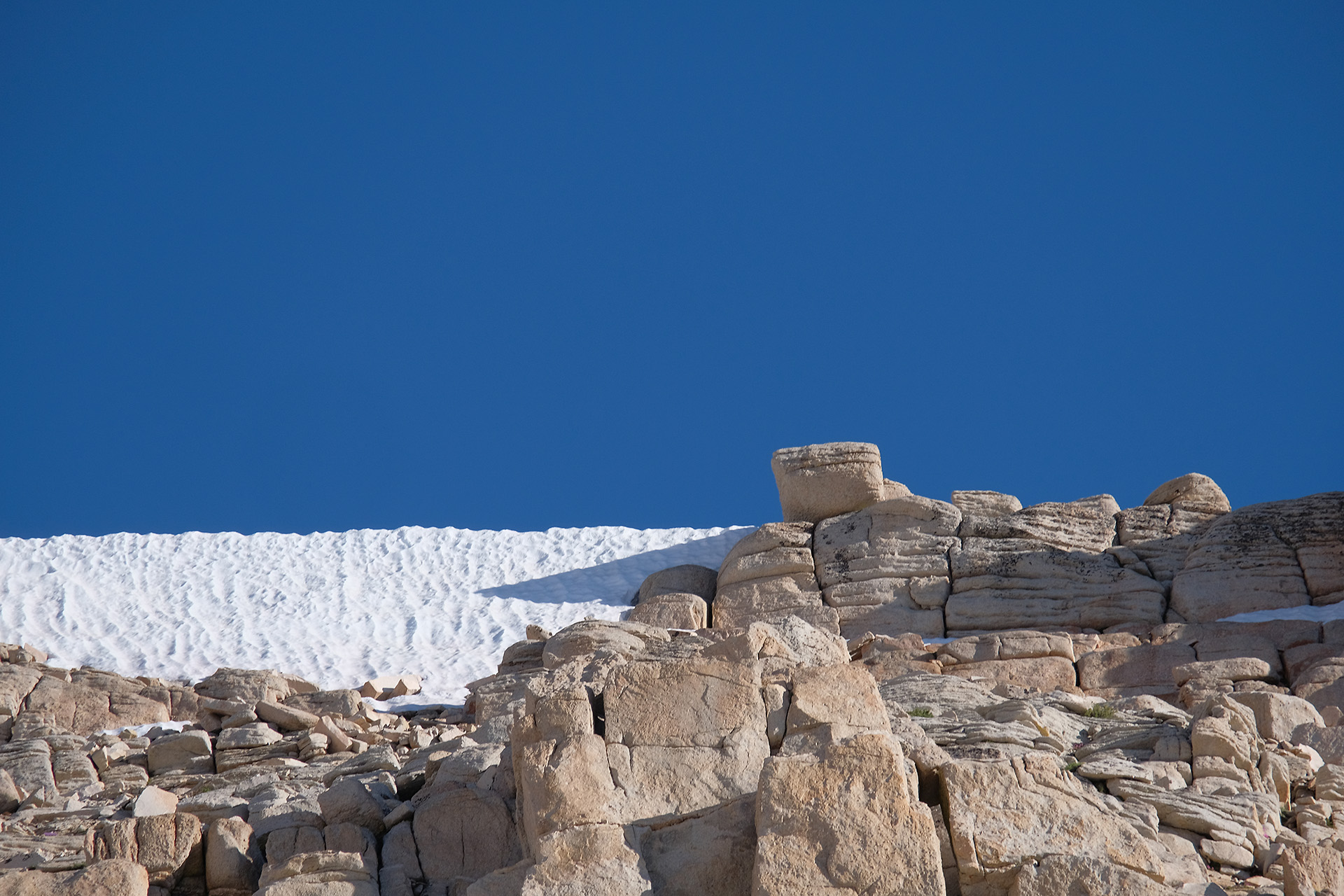
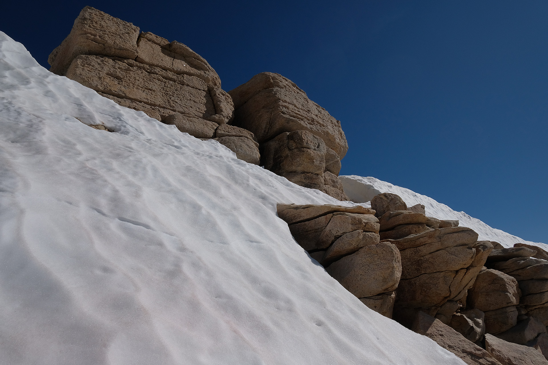
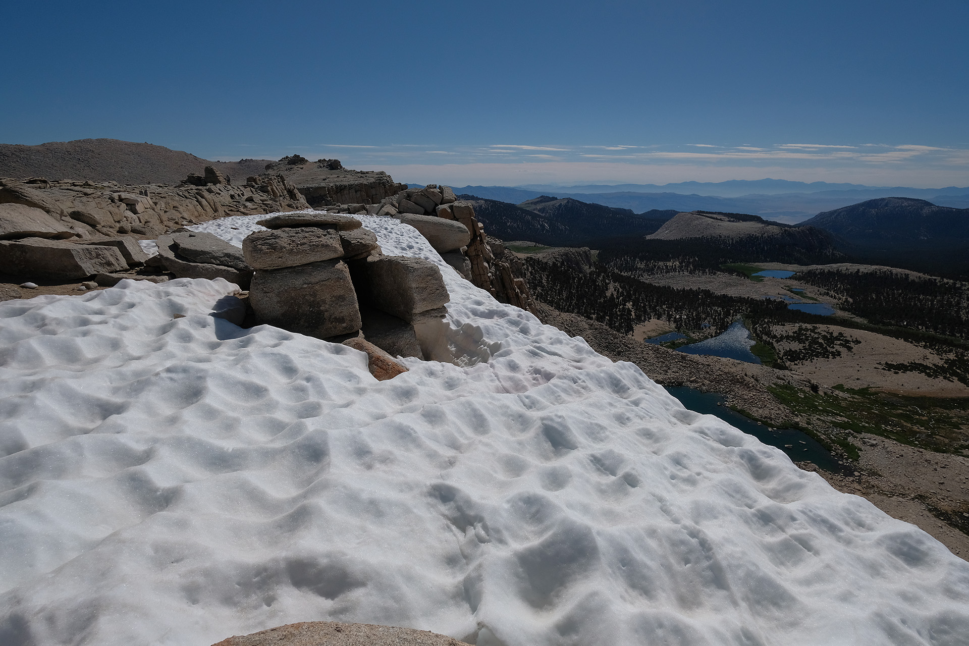
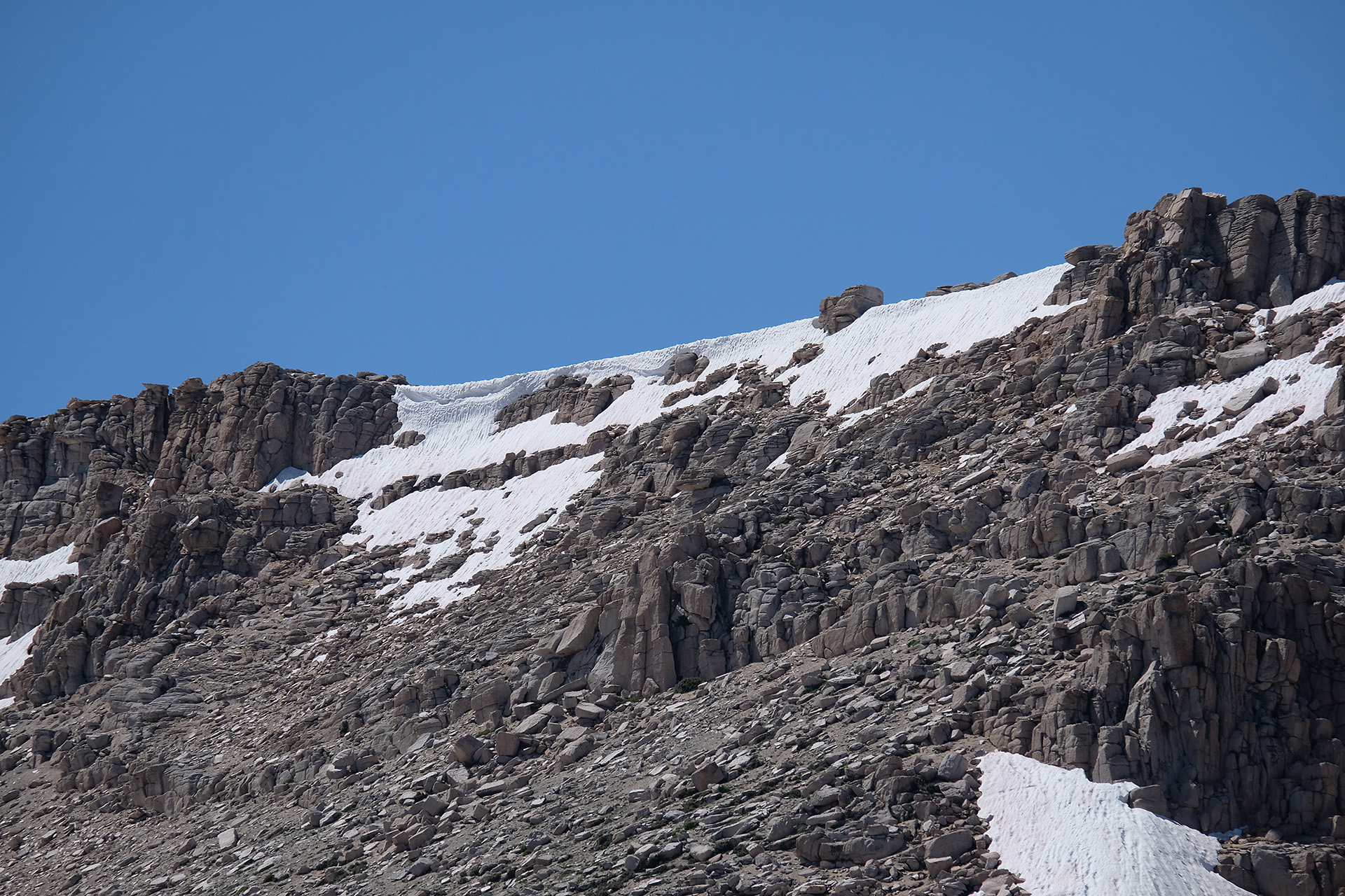
There was only few snow left on the trail on both sides of the pass, and no danger at all. The pass itself at 12.050 ft is not sensational, but has a decent views to both sides. Dark clouds everywhere, and we also heard thunder from a distance.
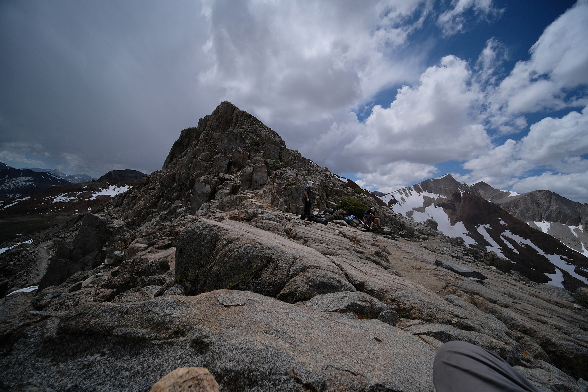
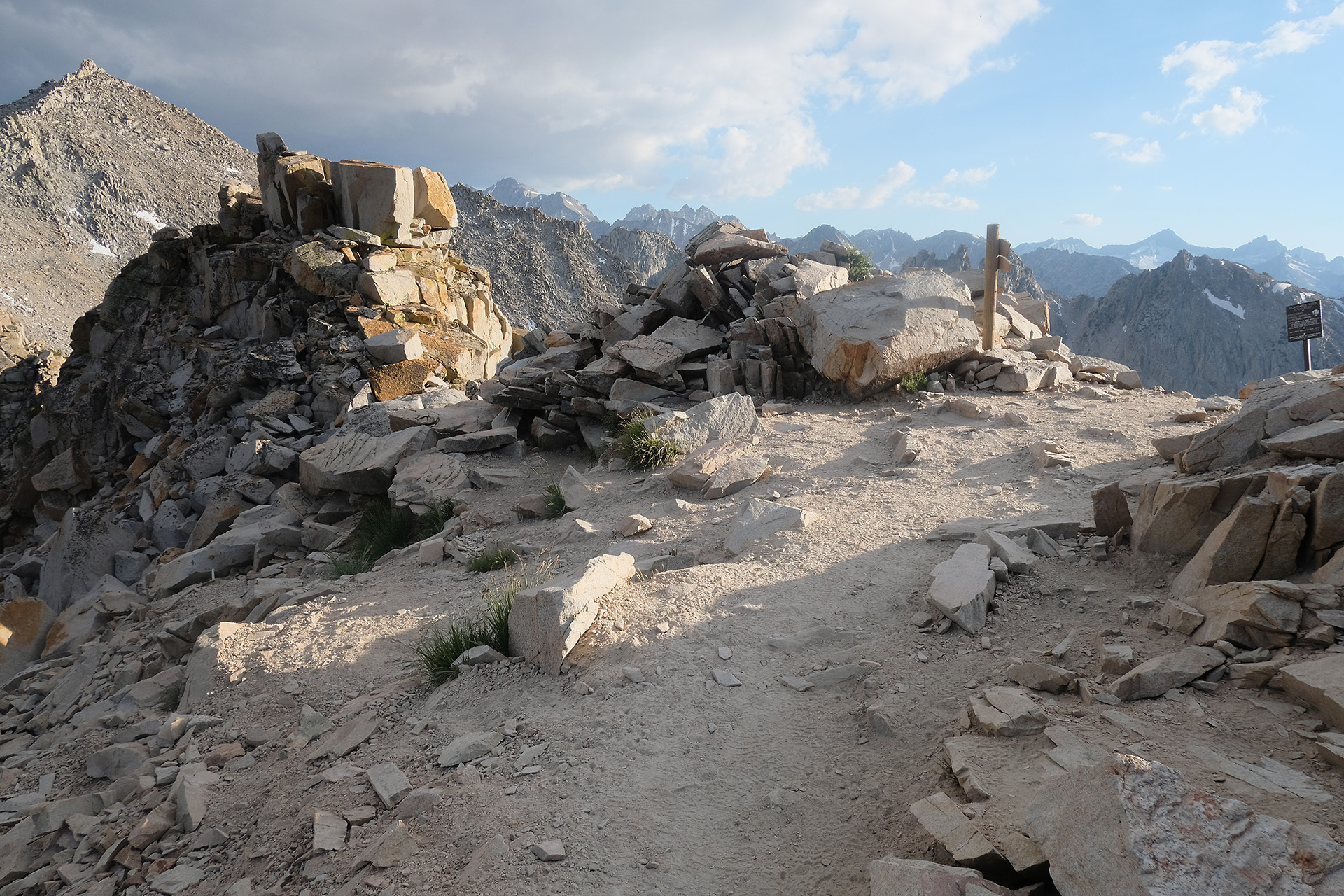
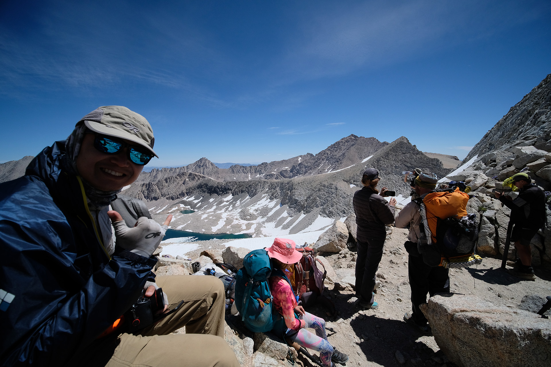
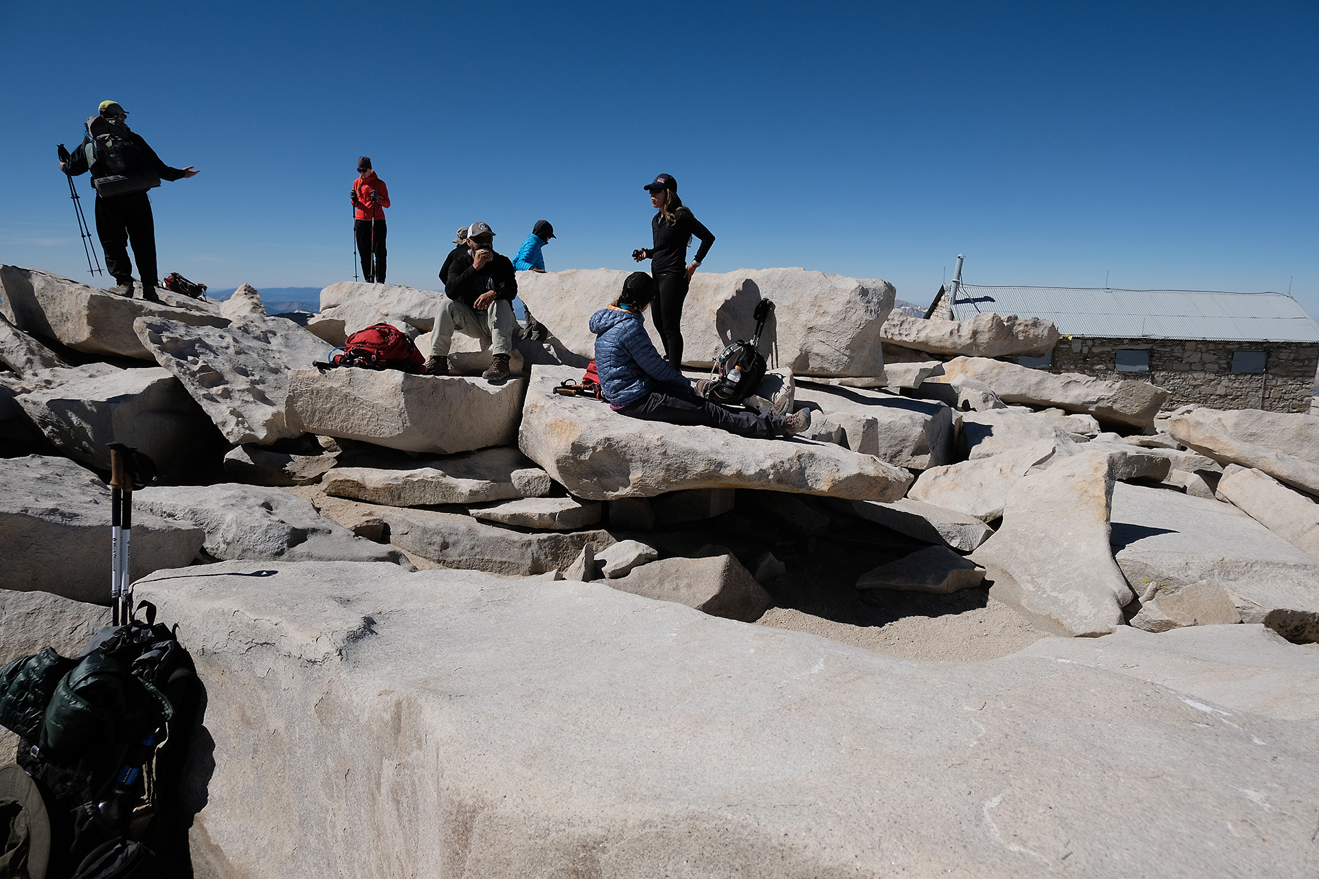
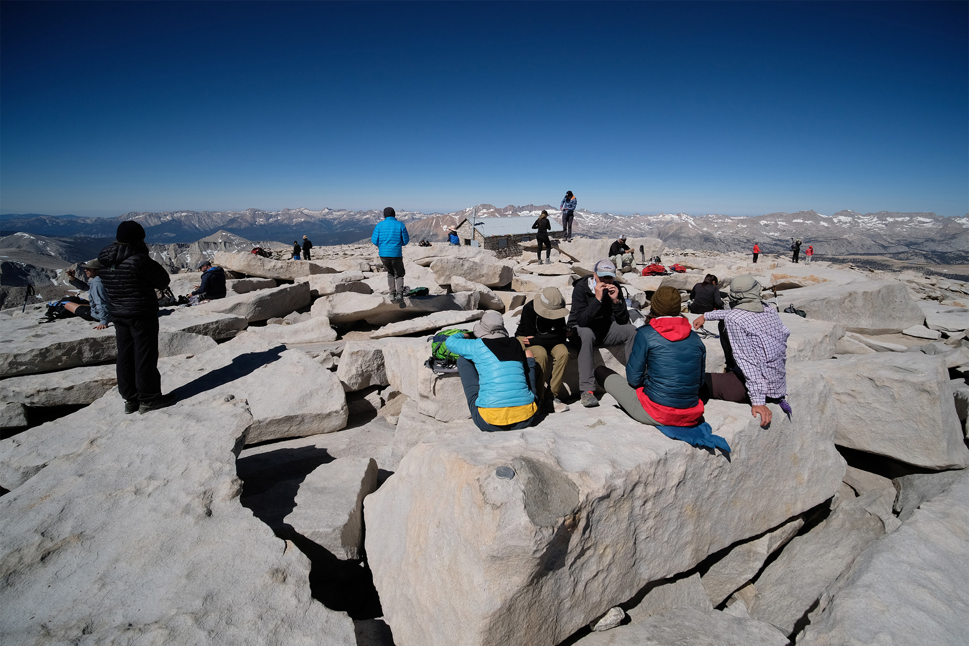
On top of Pinchot Pass 
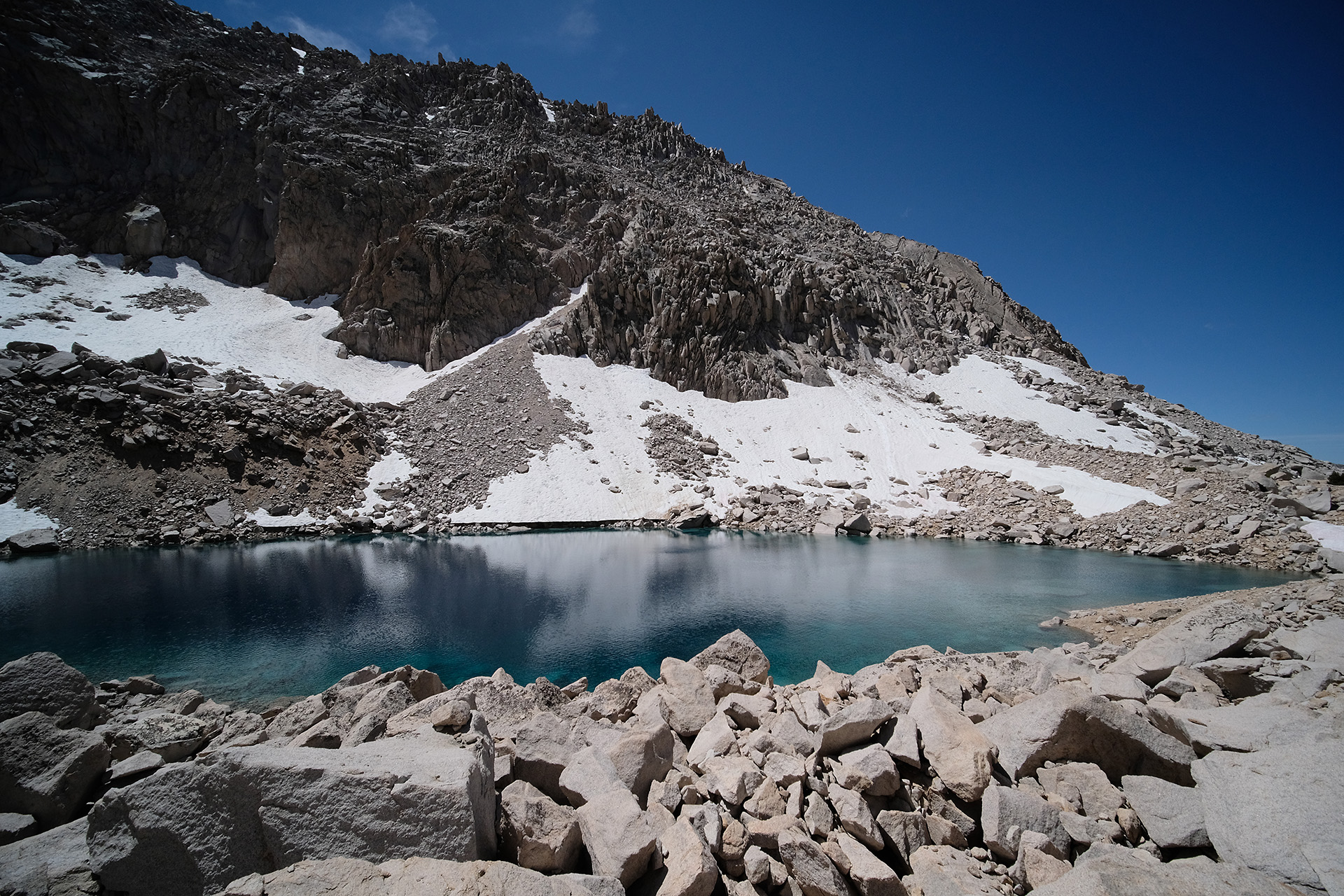
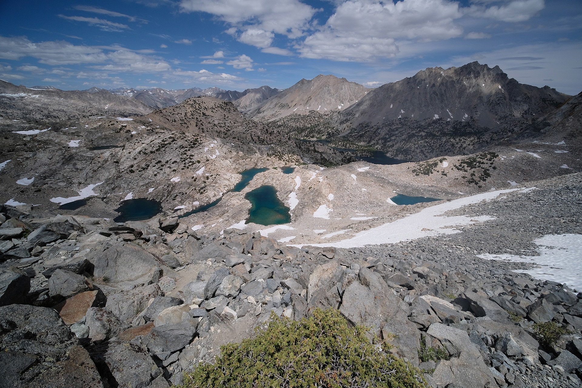
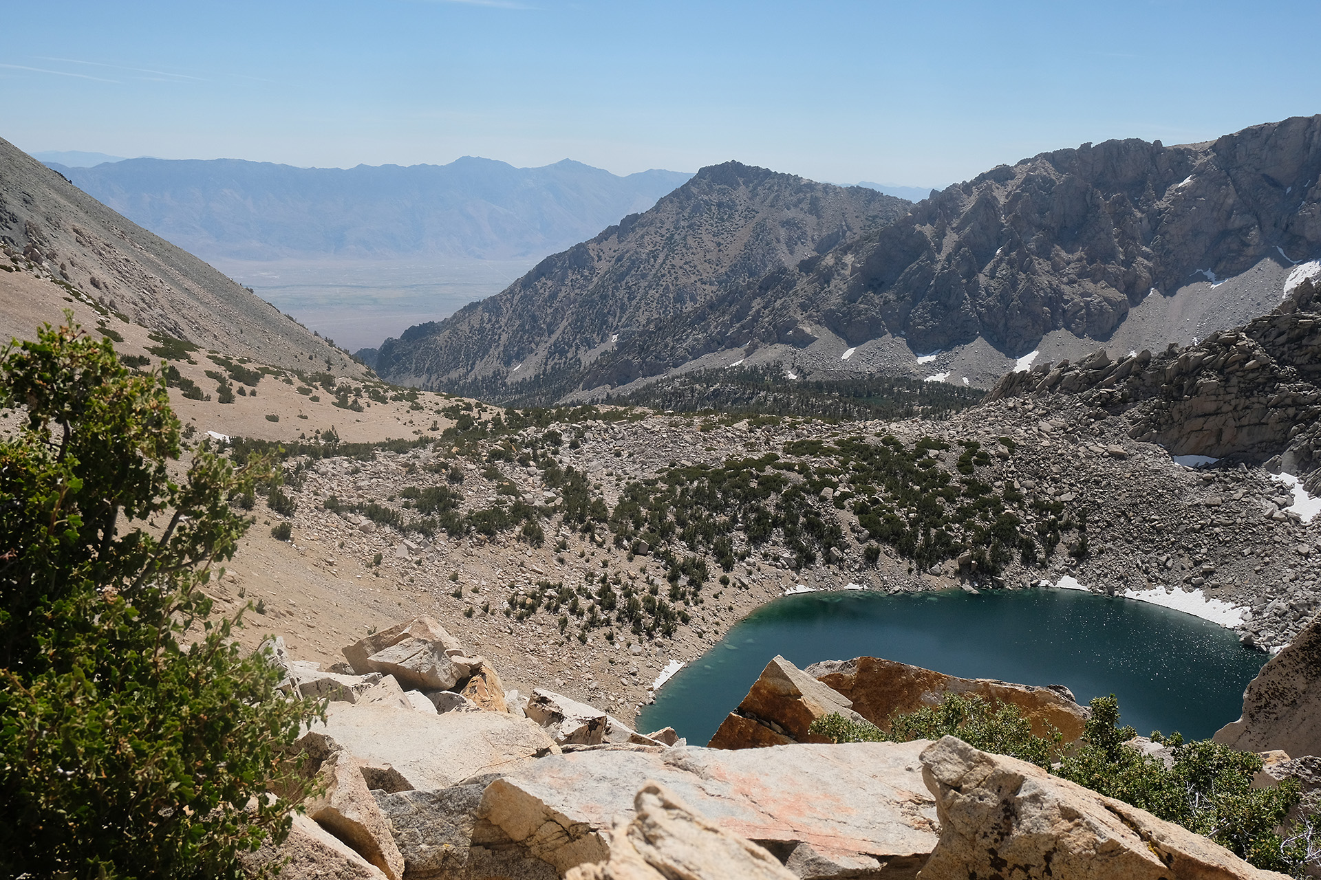
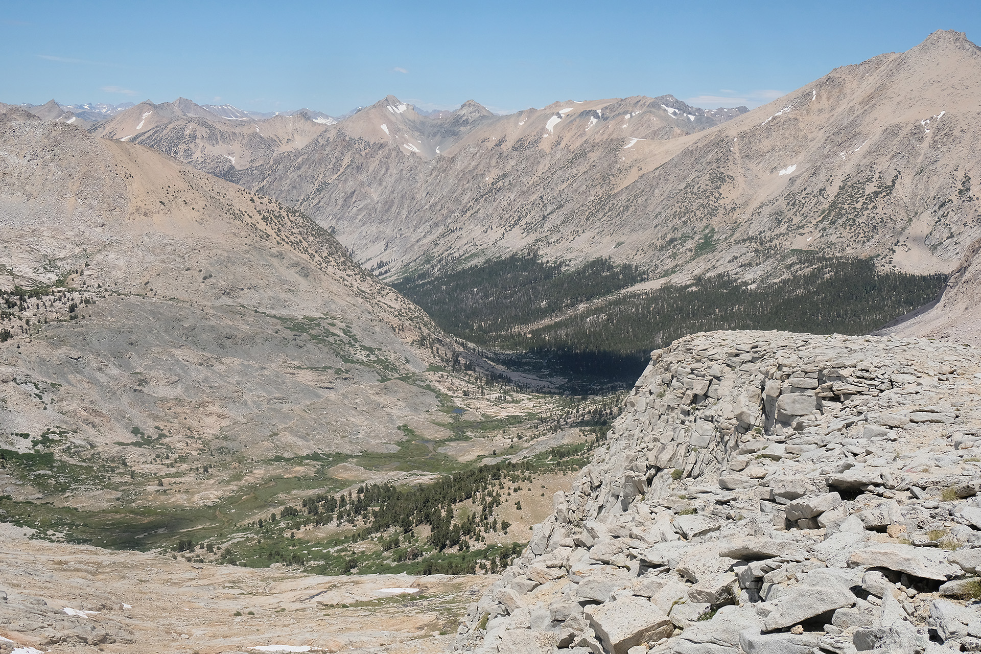
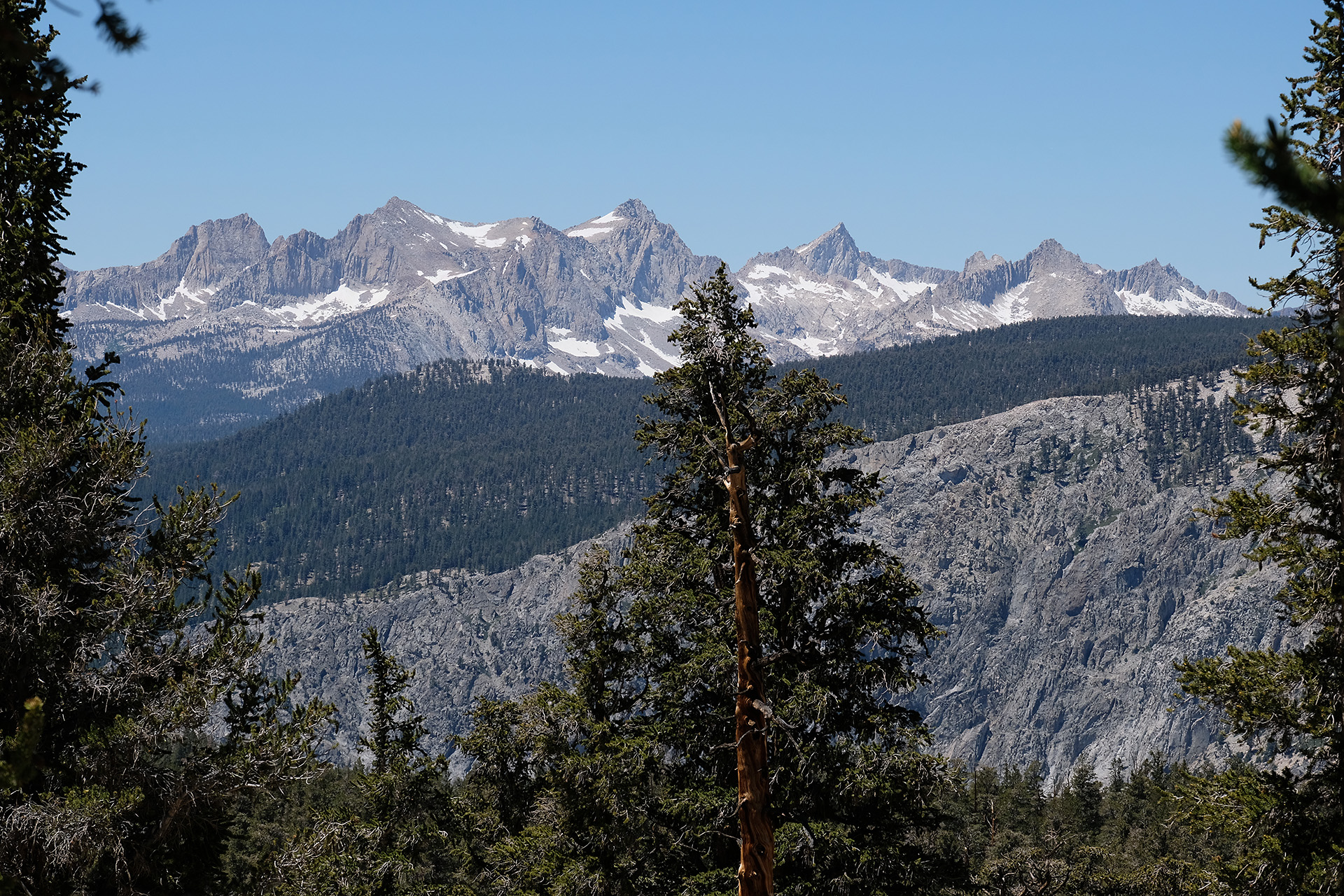
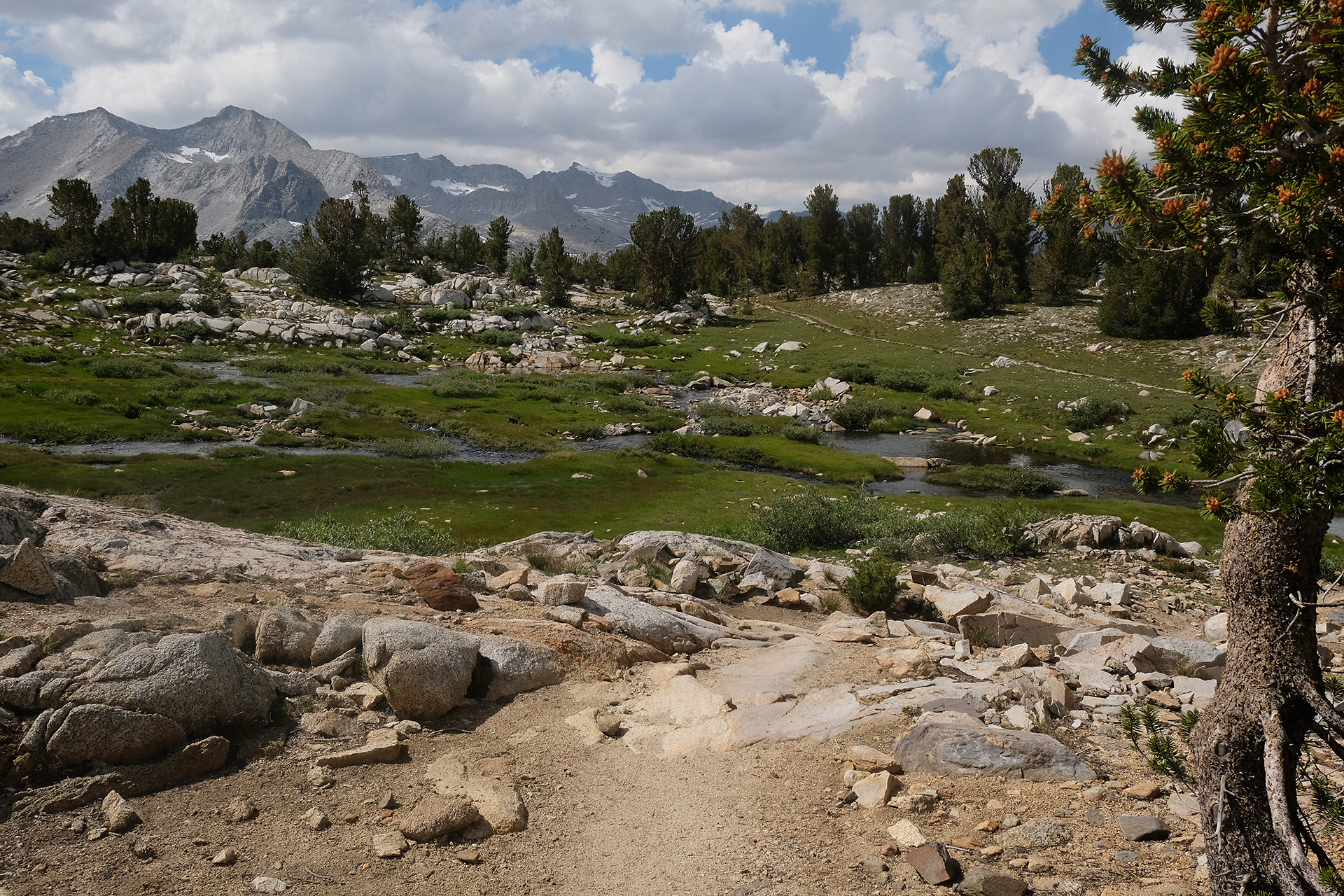
View to the south 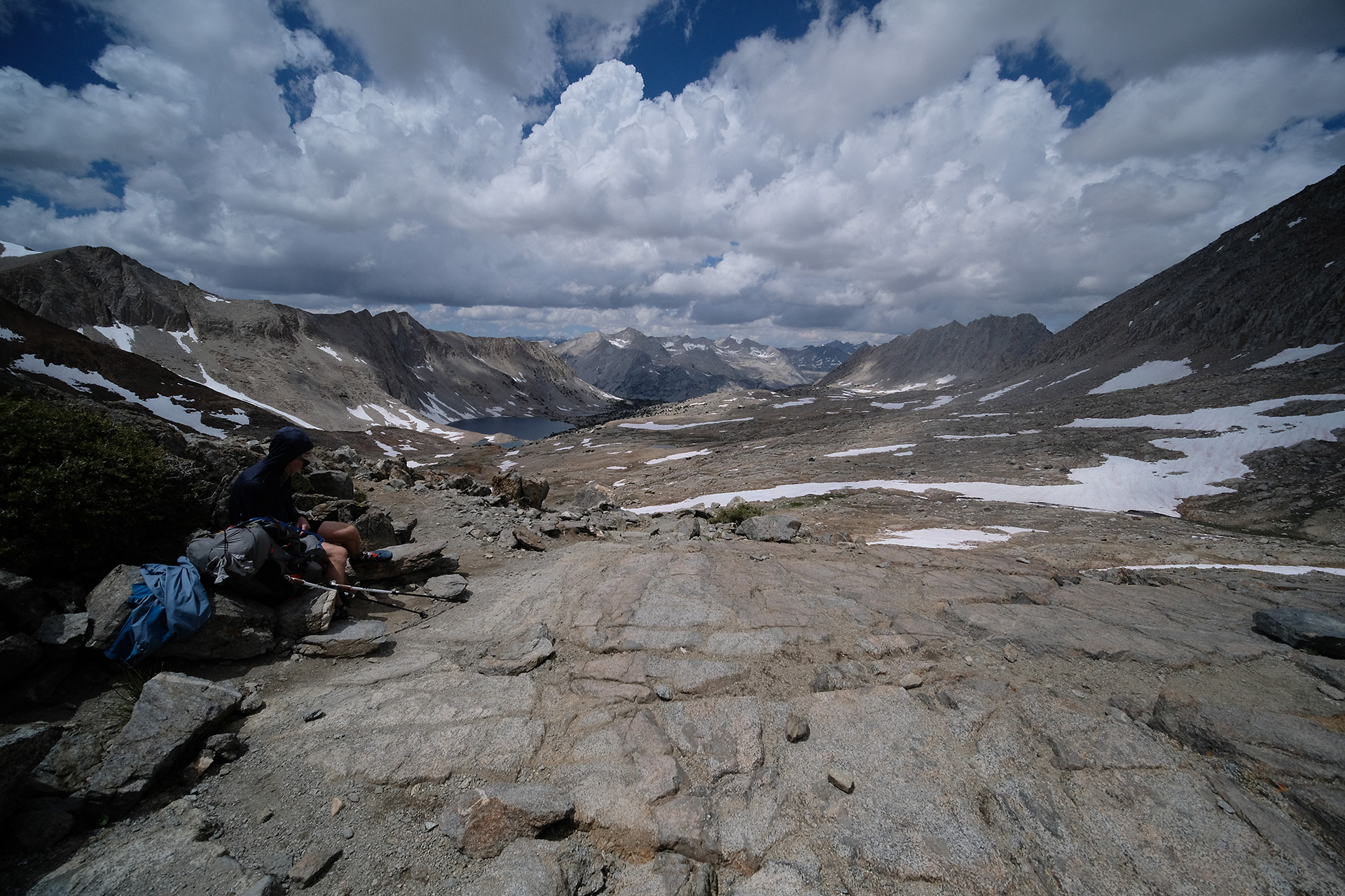
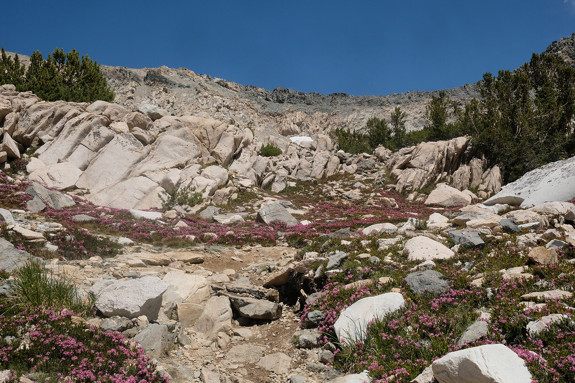
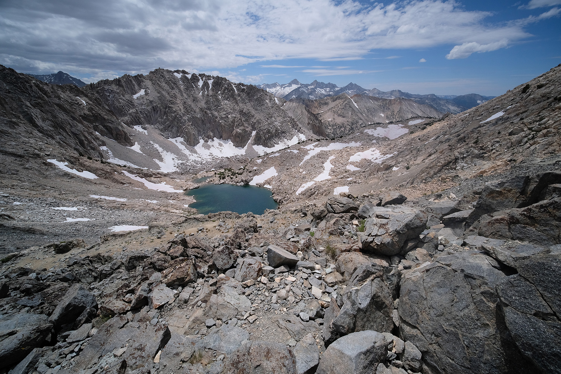
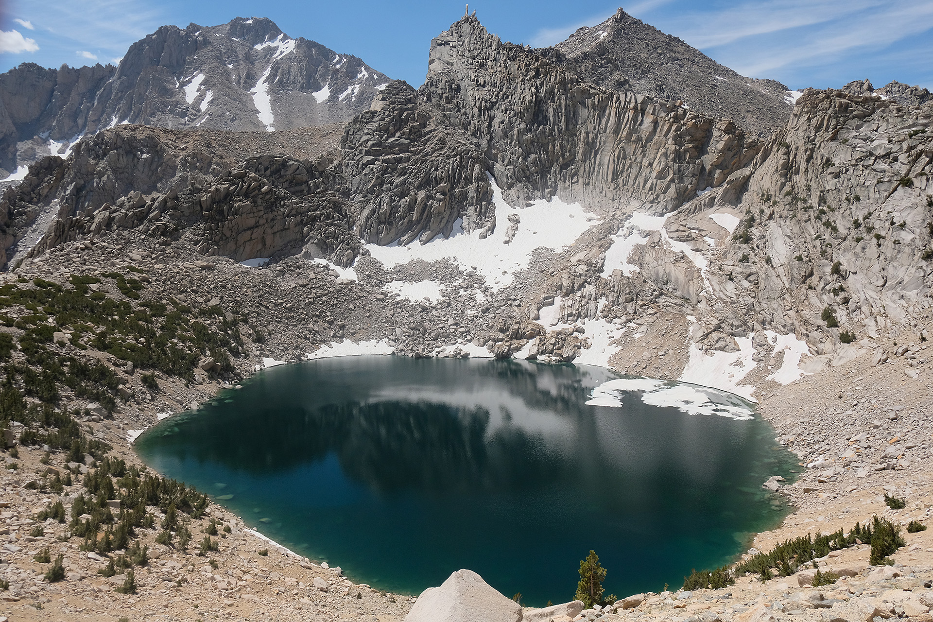
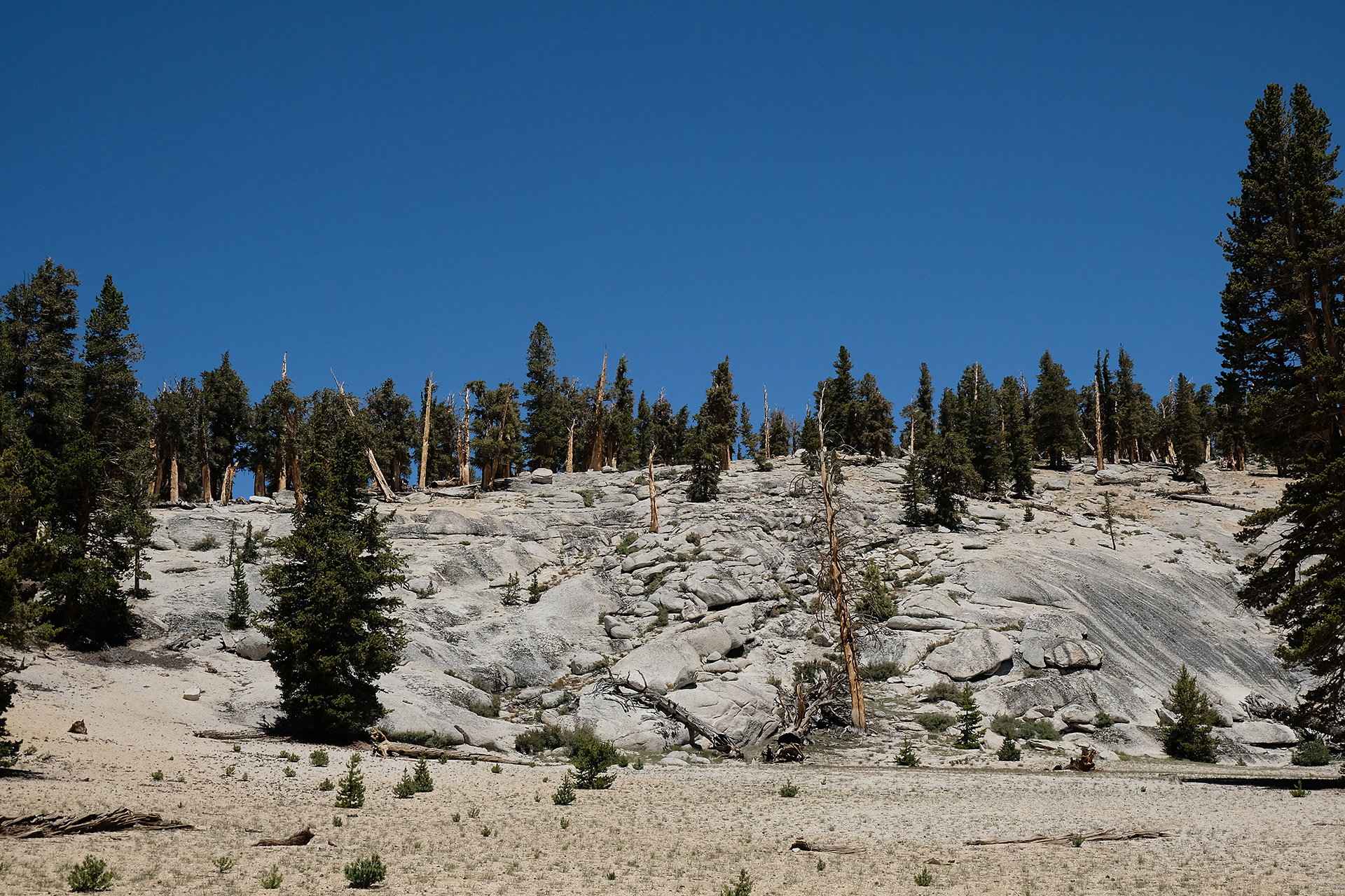
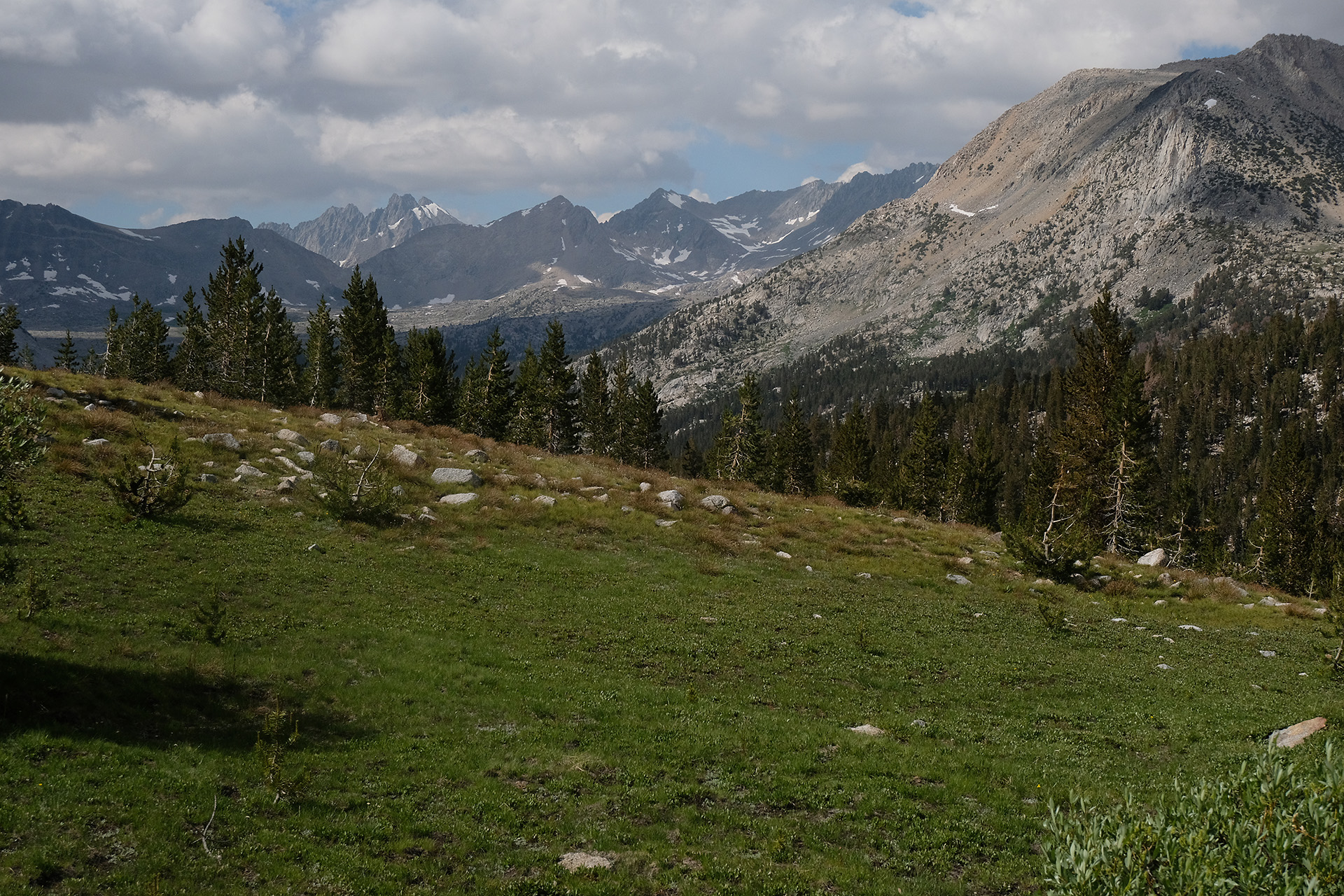
View to the north
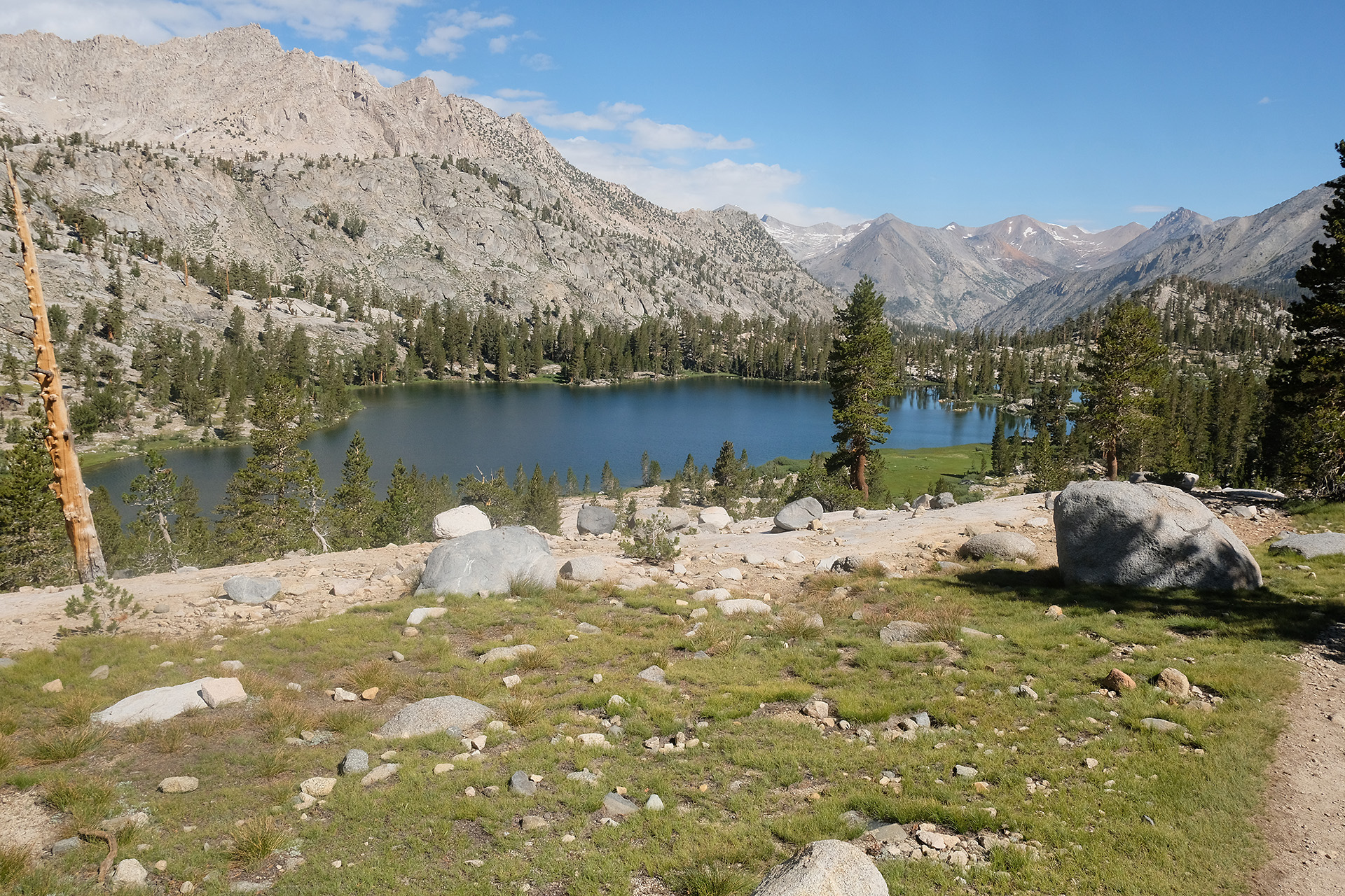
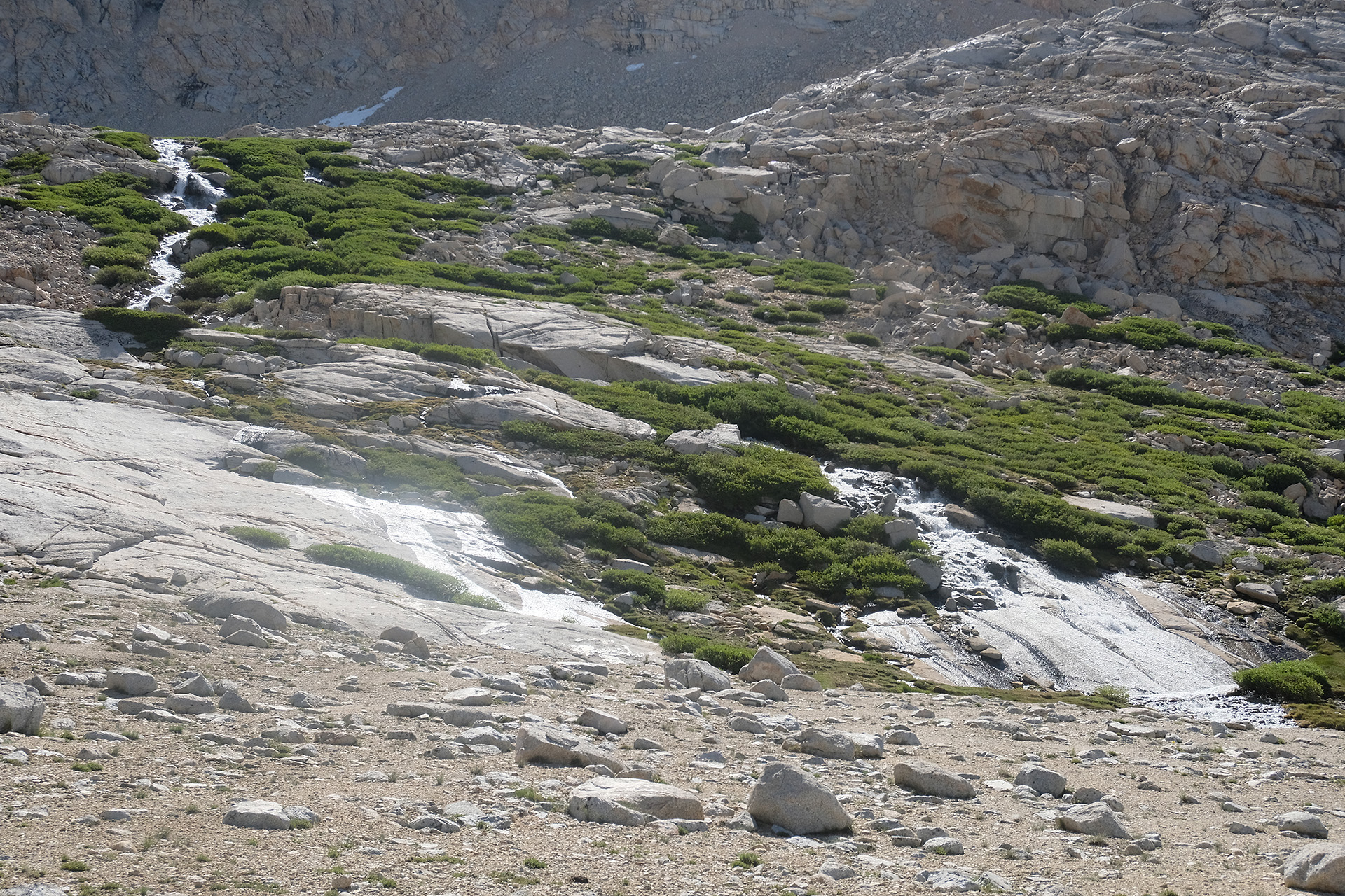
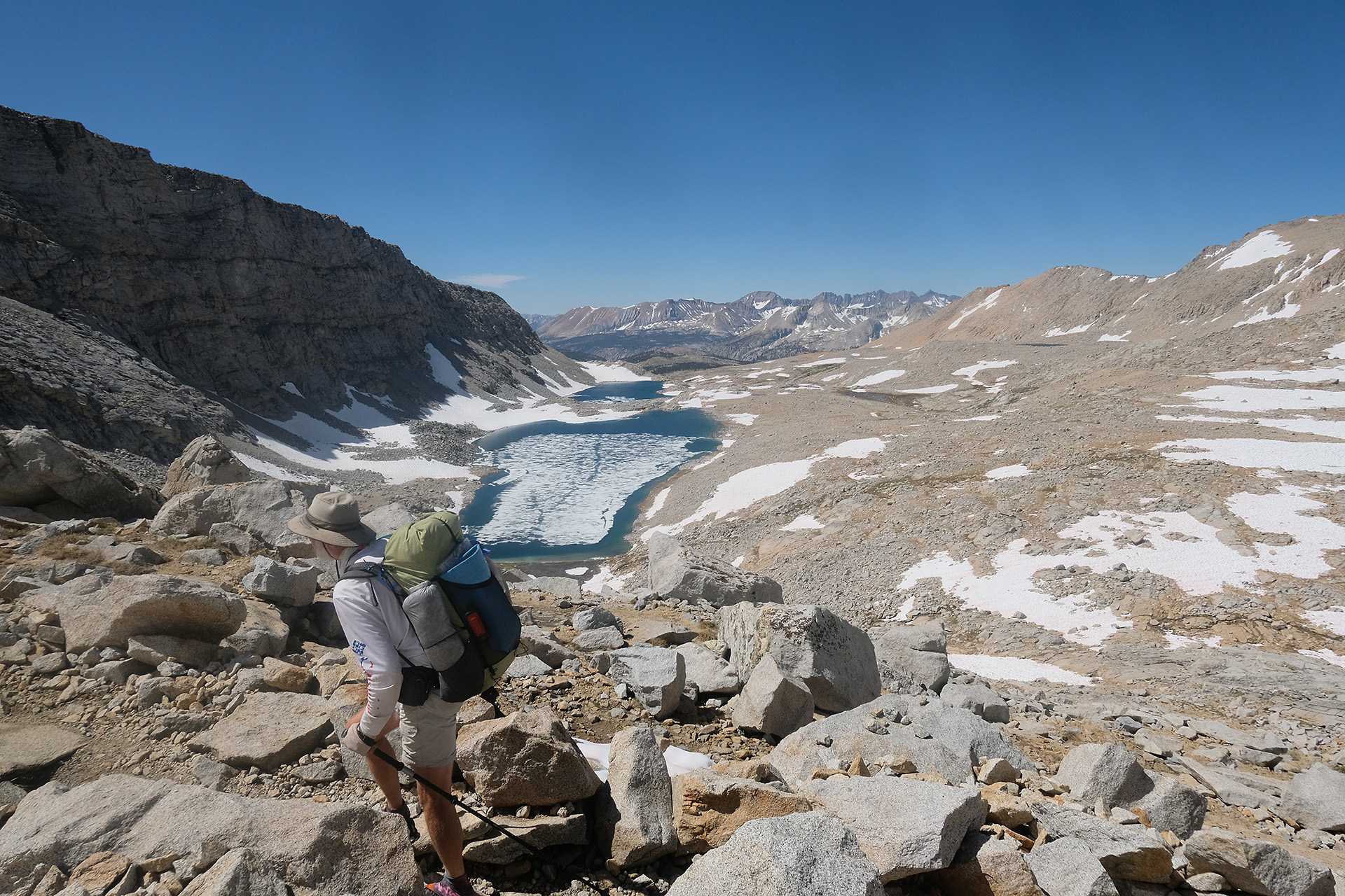
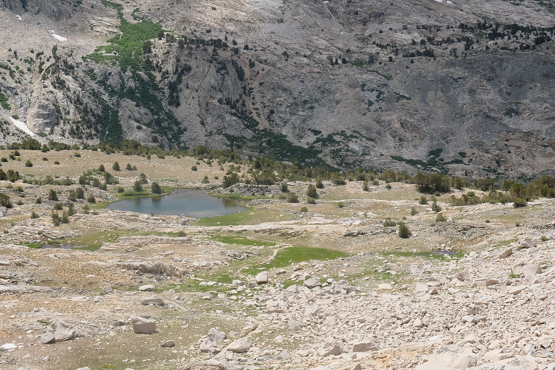
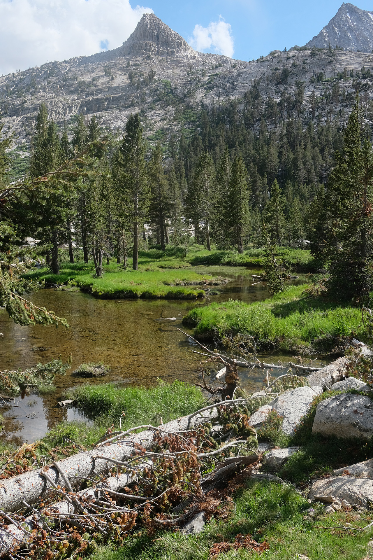
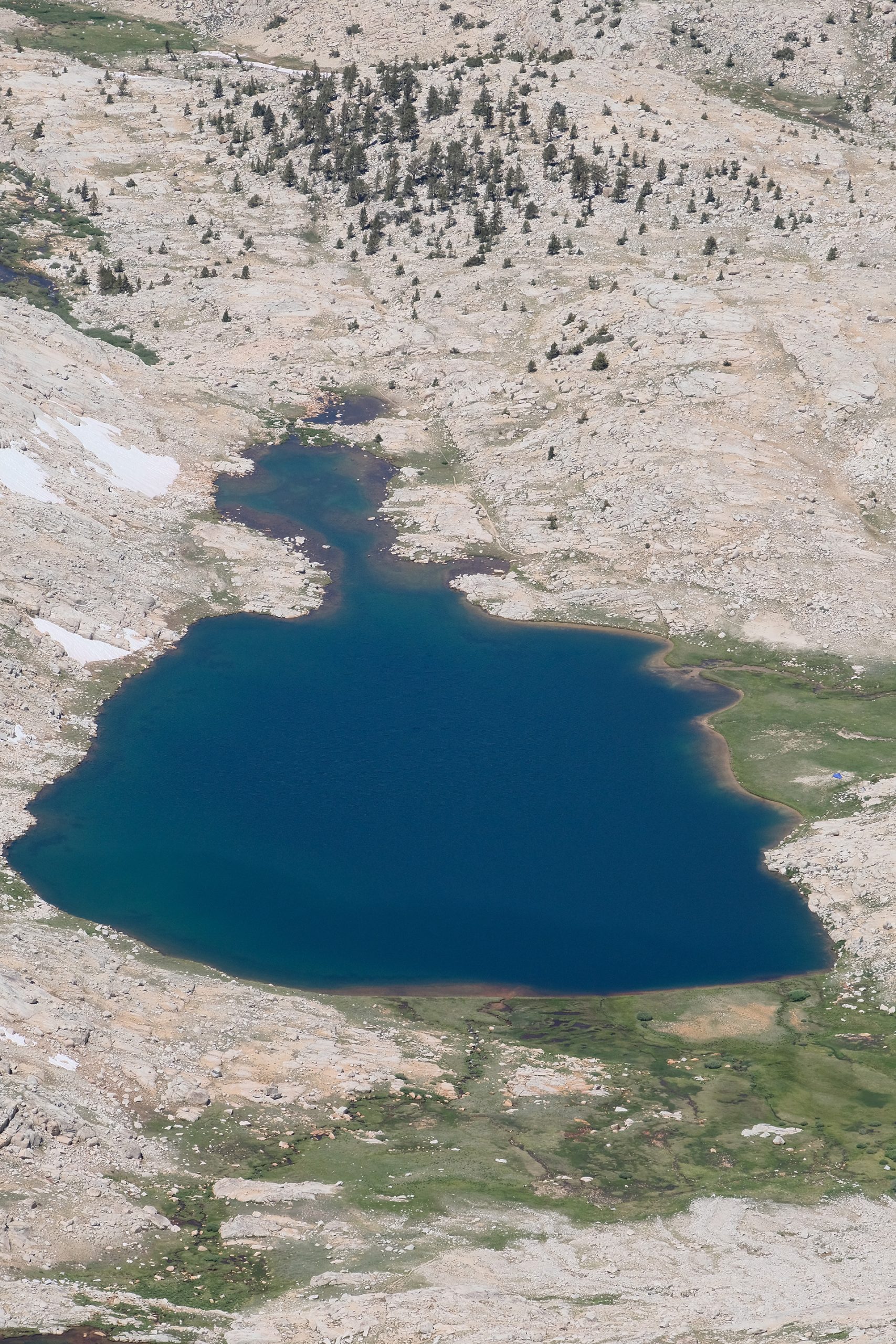
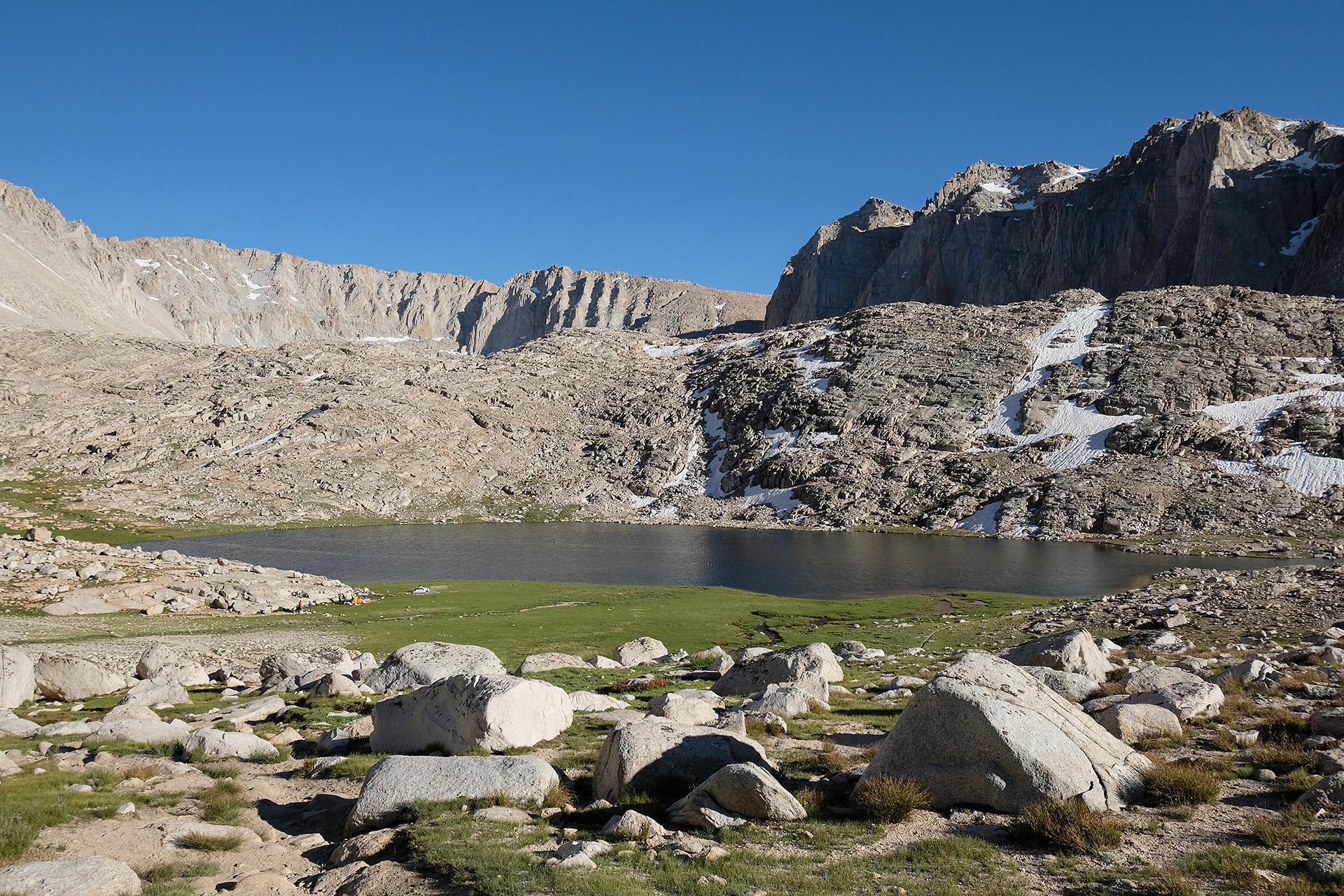
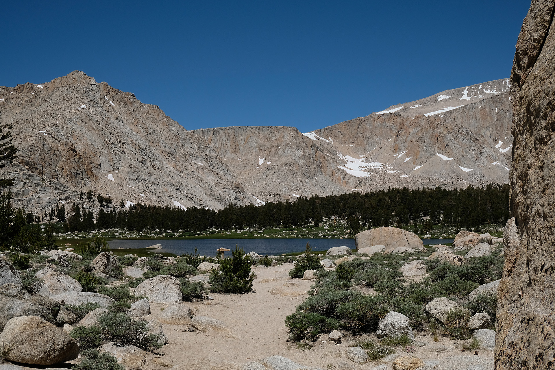
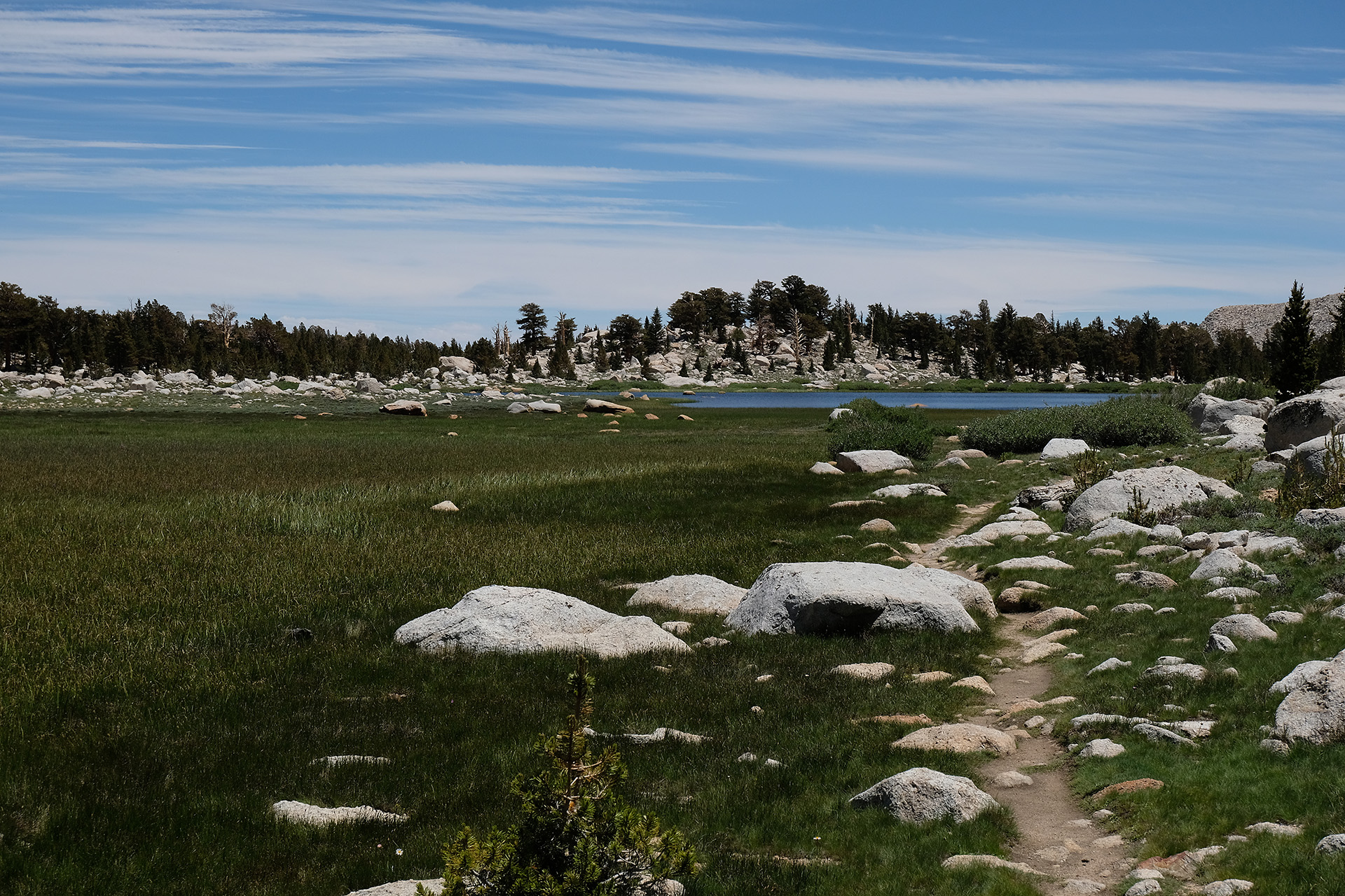
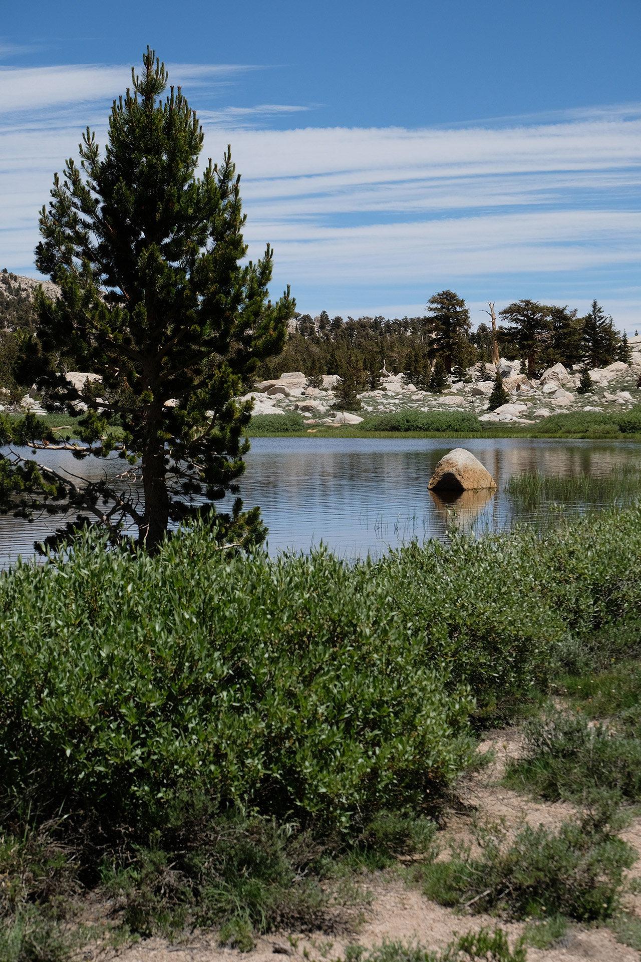
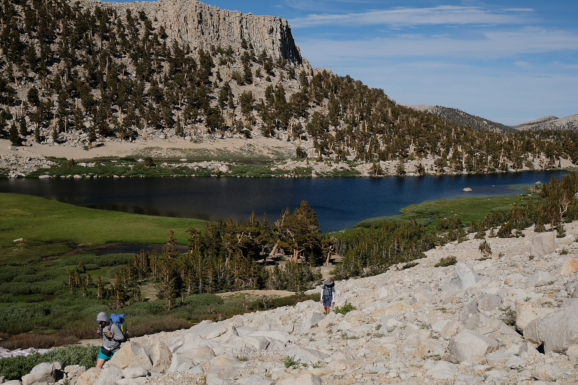
So I did not make a long lunch break but walked down after a few minutes. On the next miles I passed several, mostly unnamed lakes.
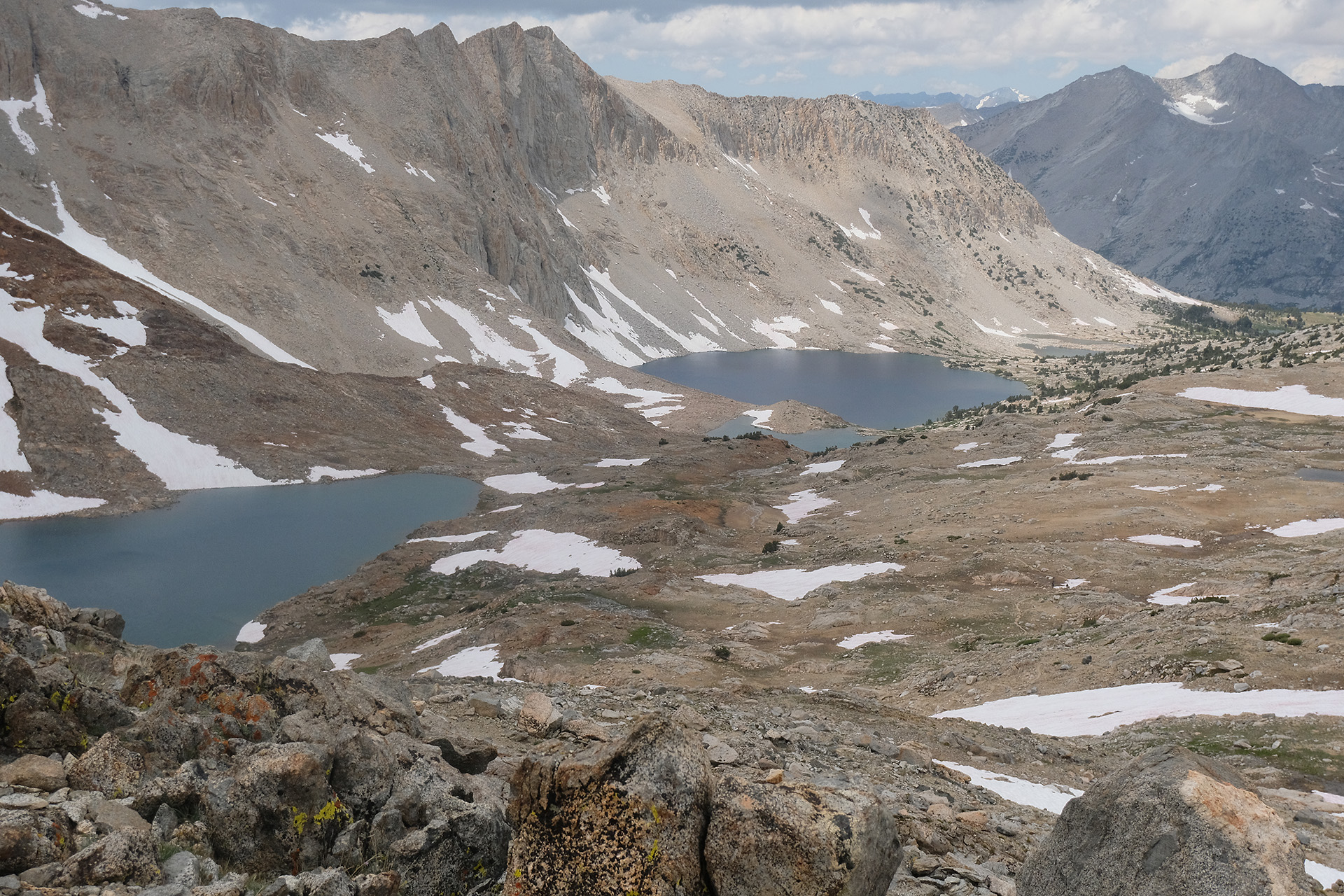
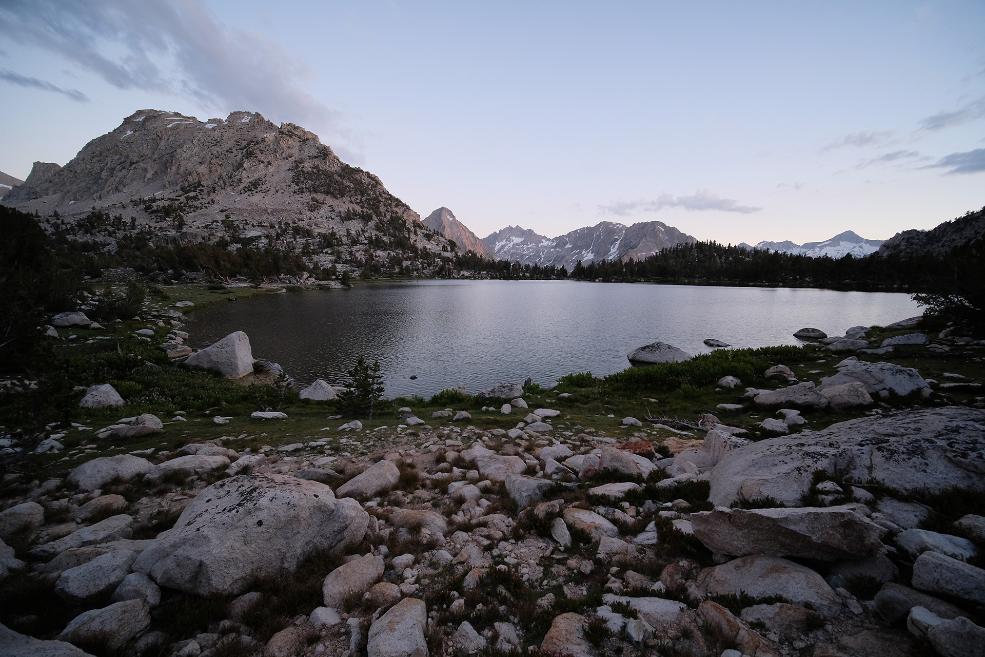
Lake Marjorie 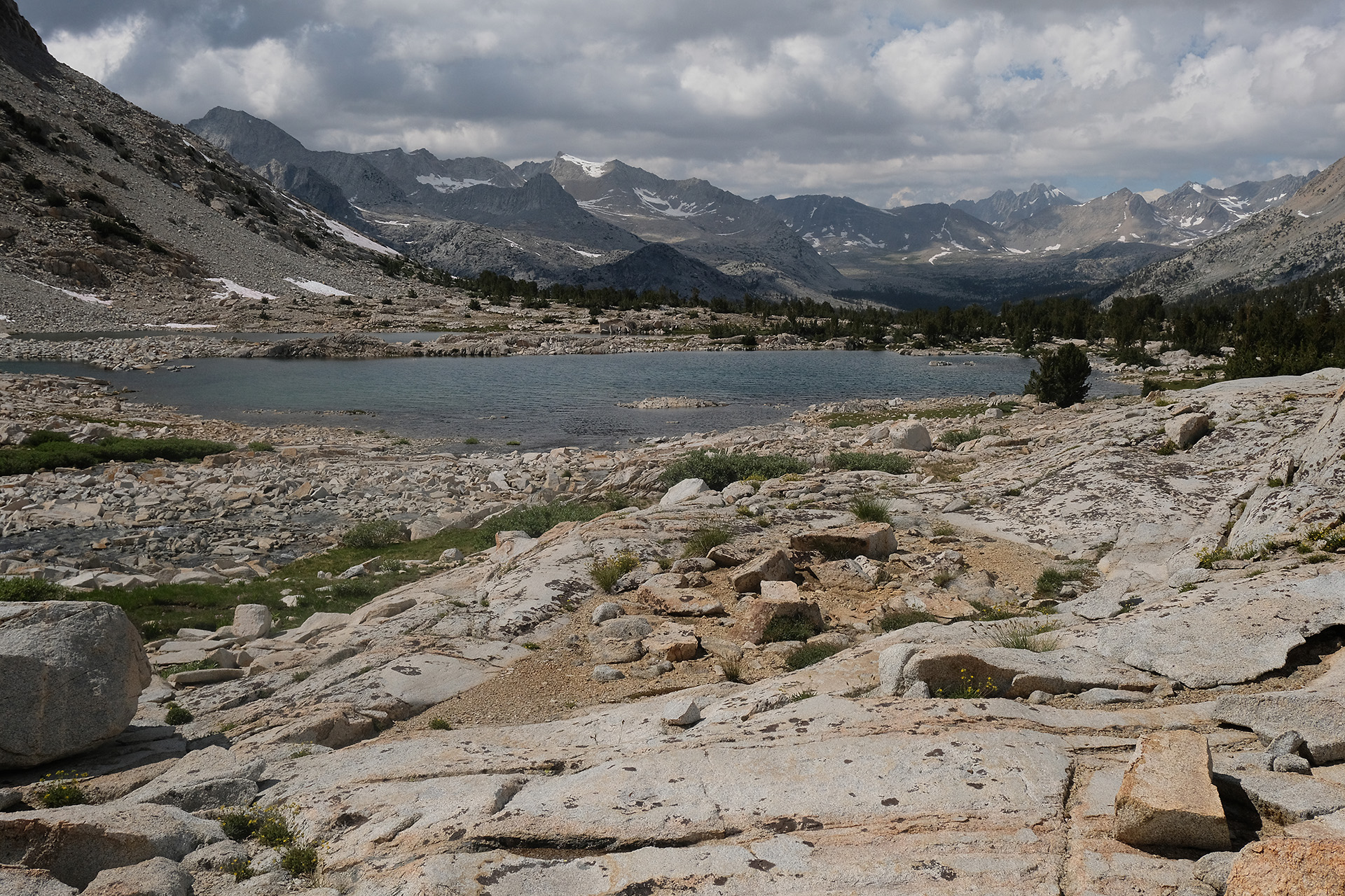
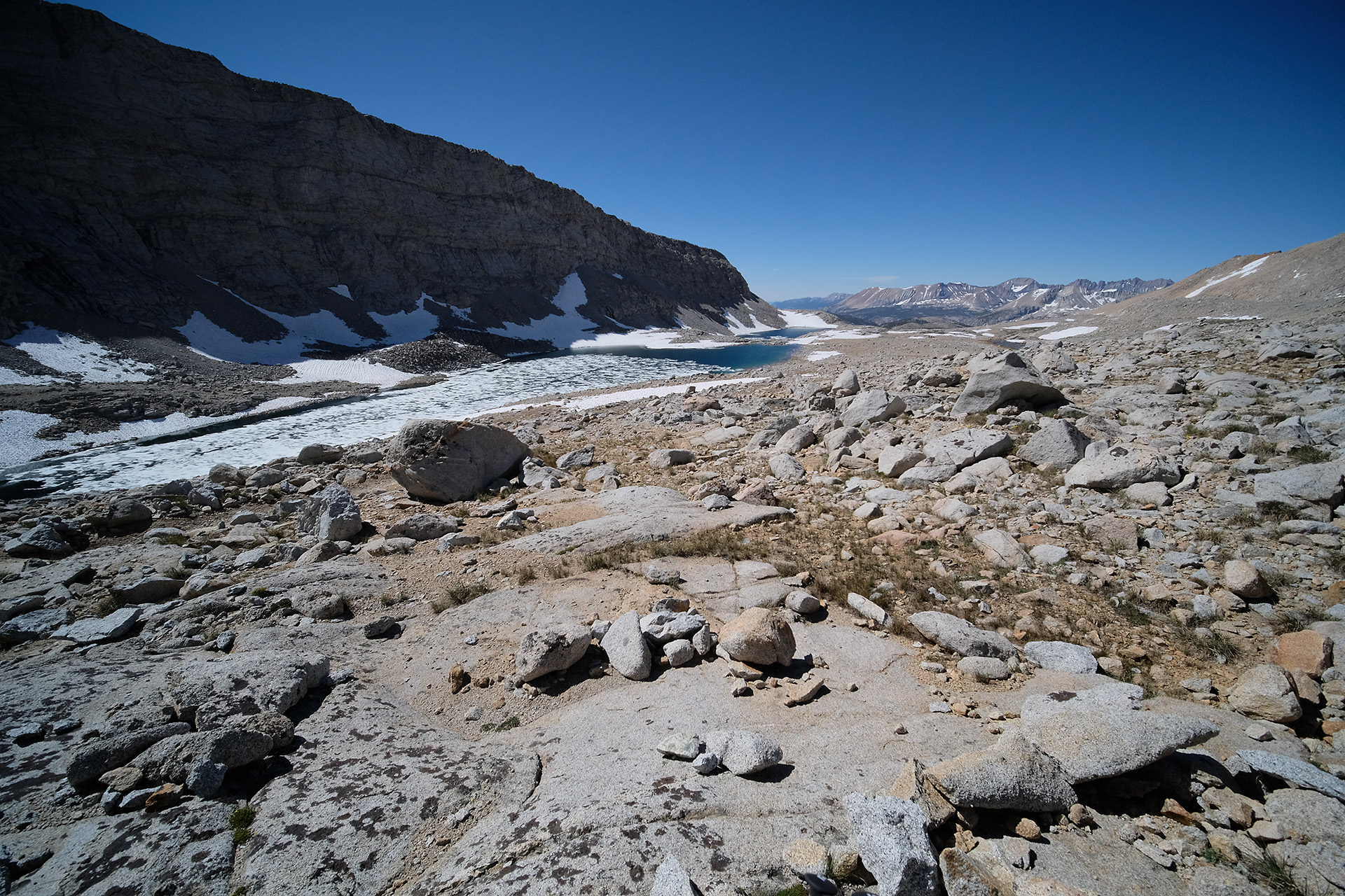
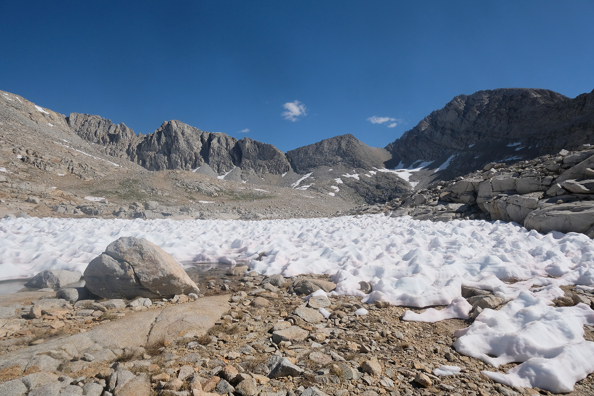
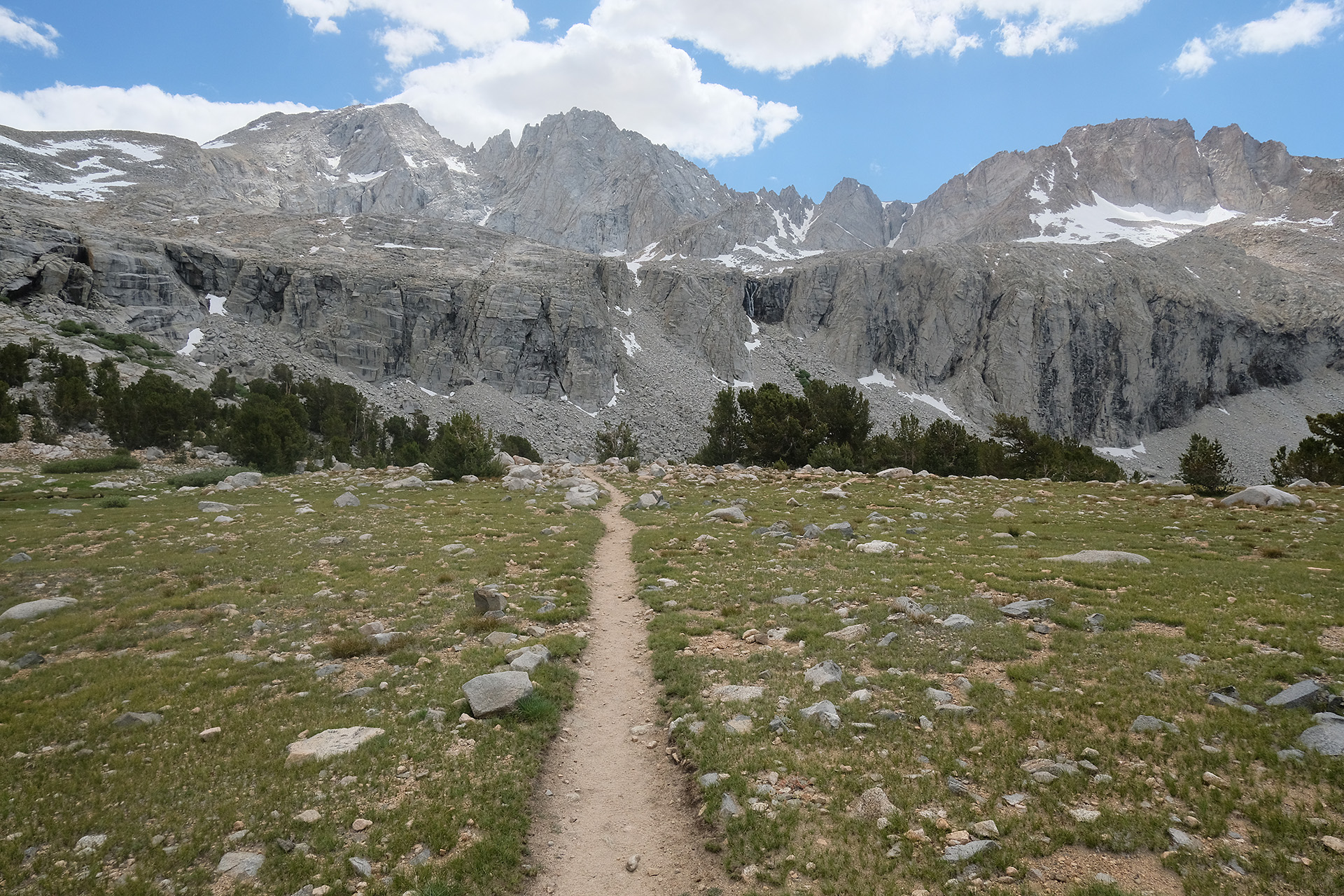
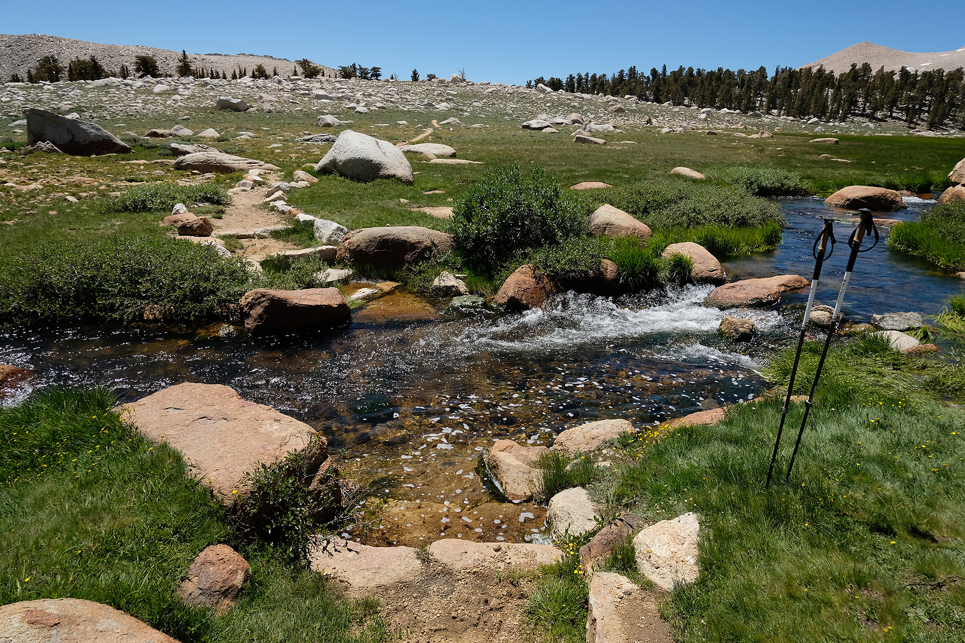
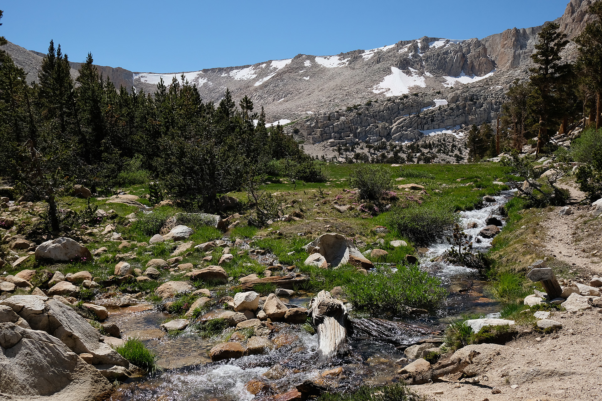
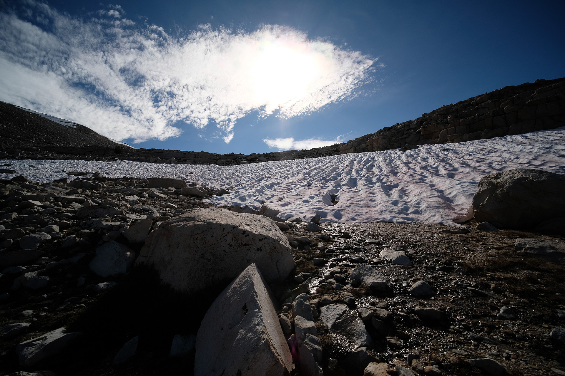
From Pinchot Pass to Mather Pass it is just 10 miles. But you must walk down from 12.050 ft to the South Fork Kings River valley at 10.000 ft and then up again to 12.100 ft.
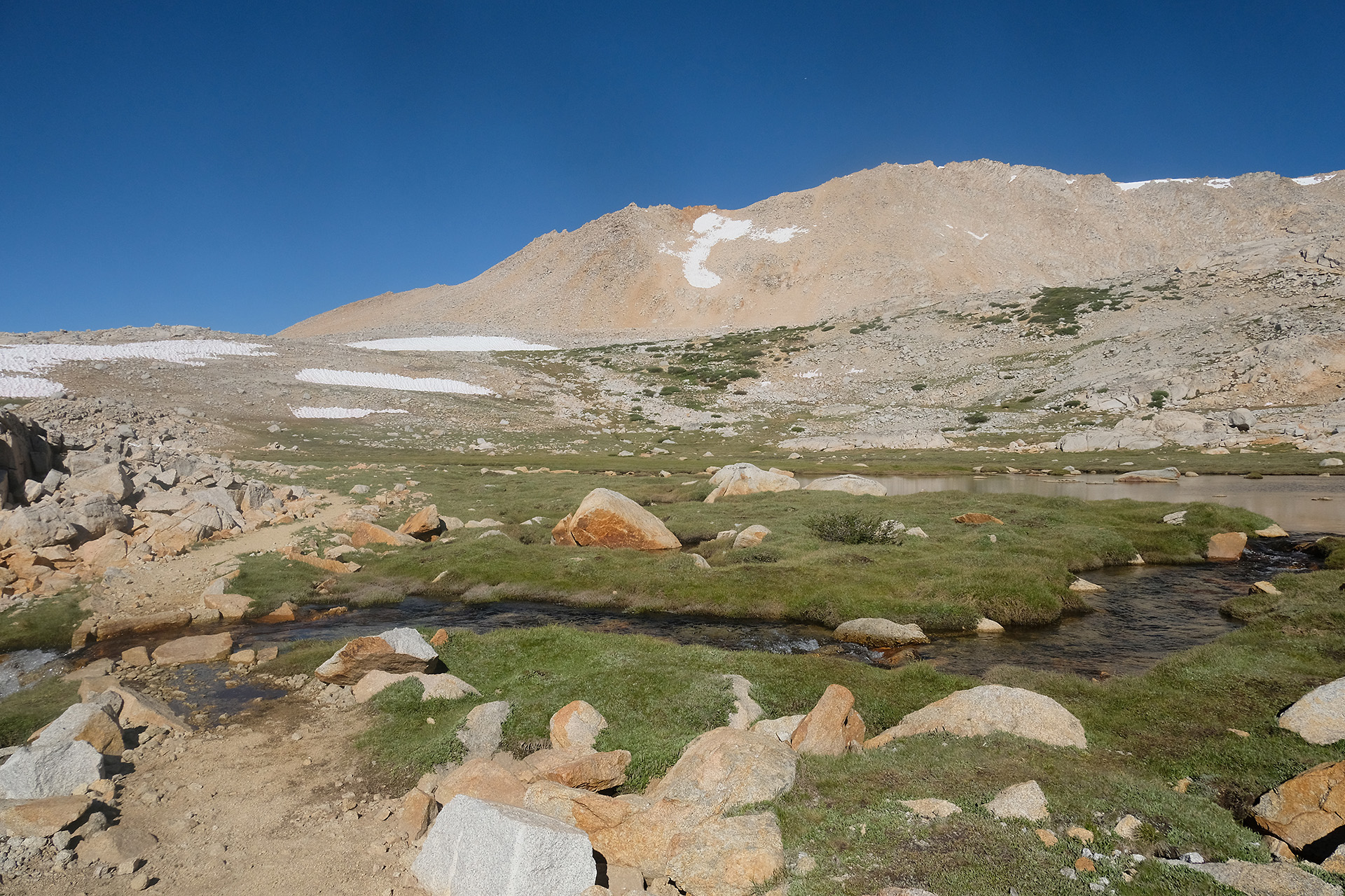
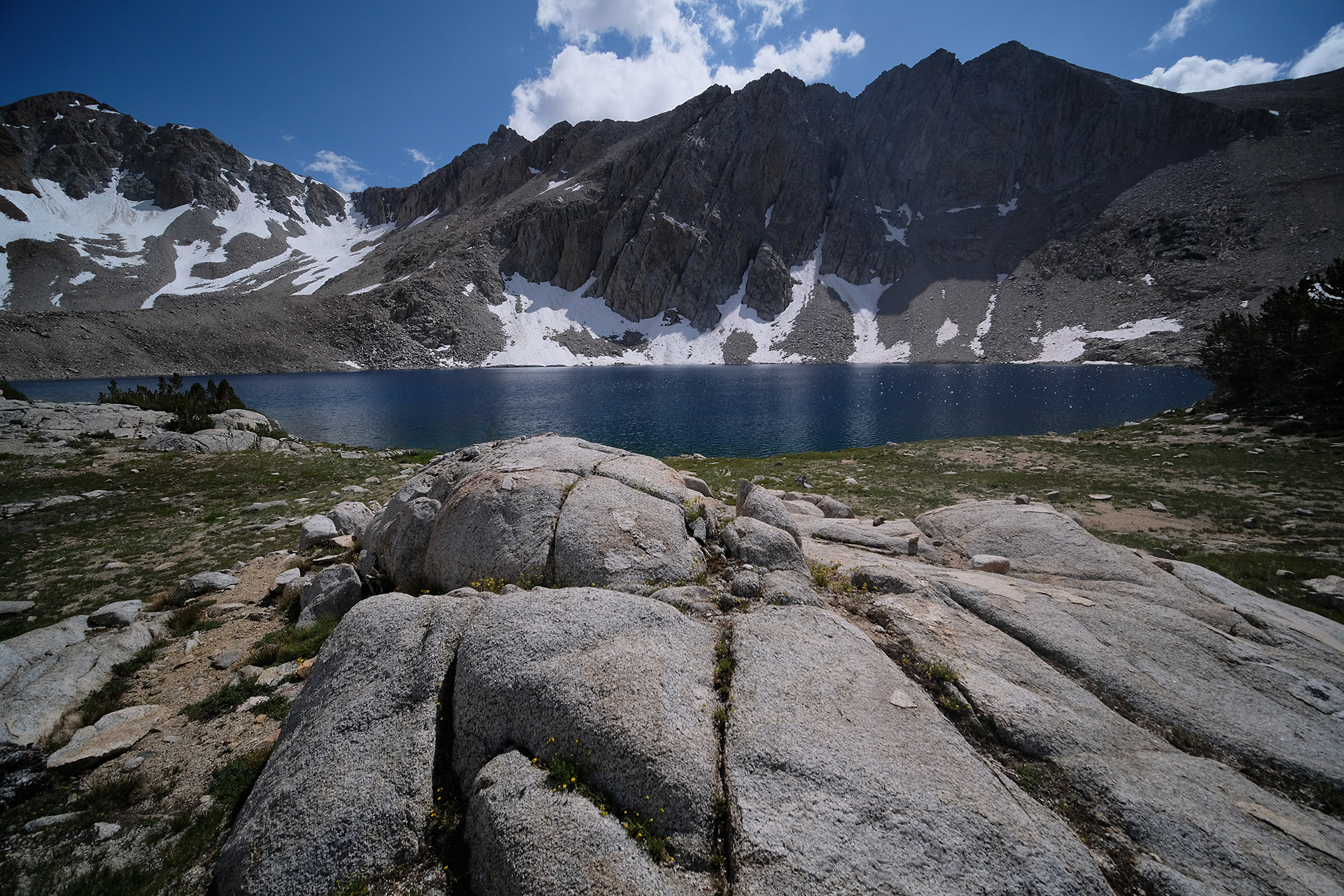
View into the valley 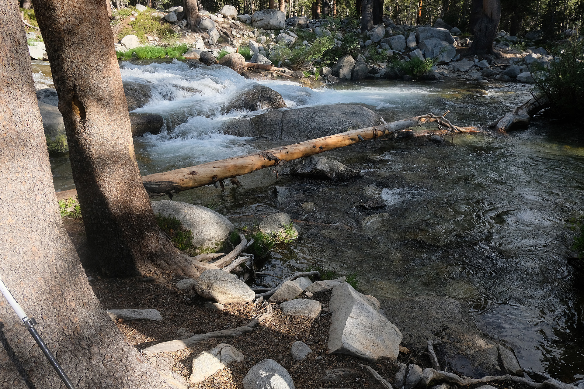
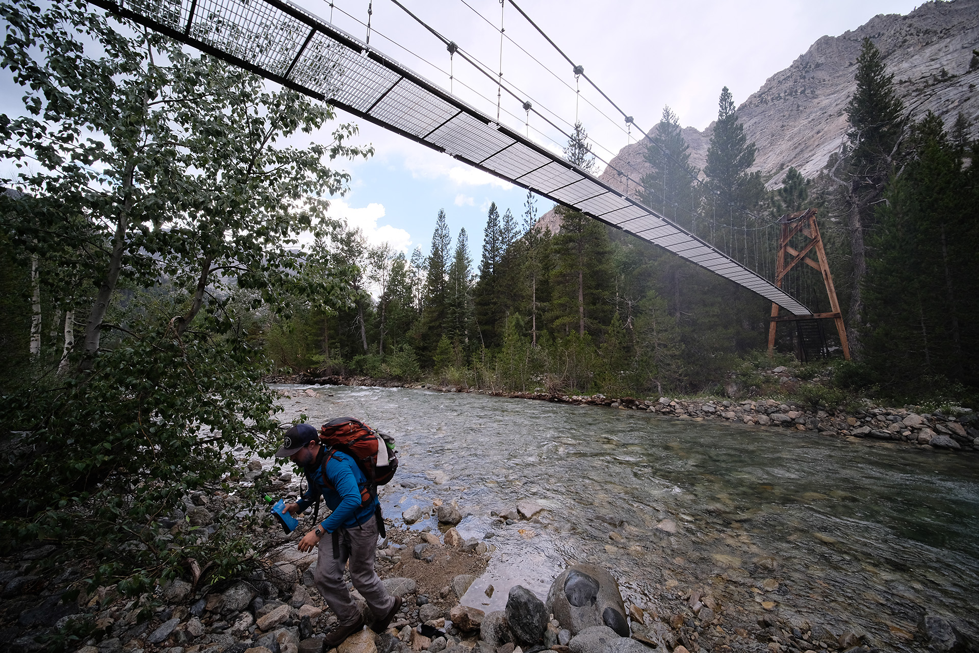
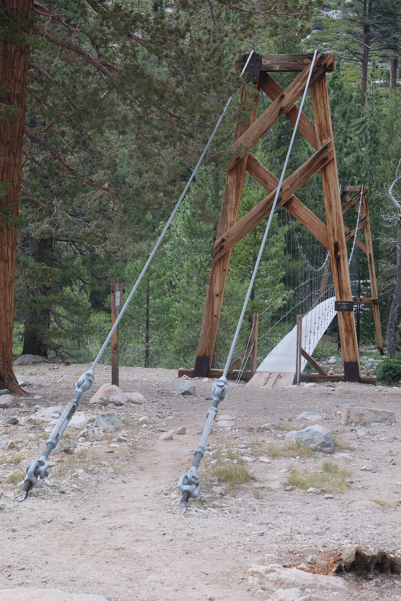
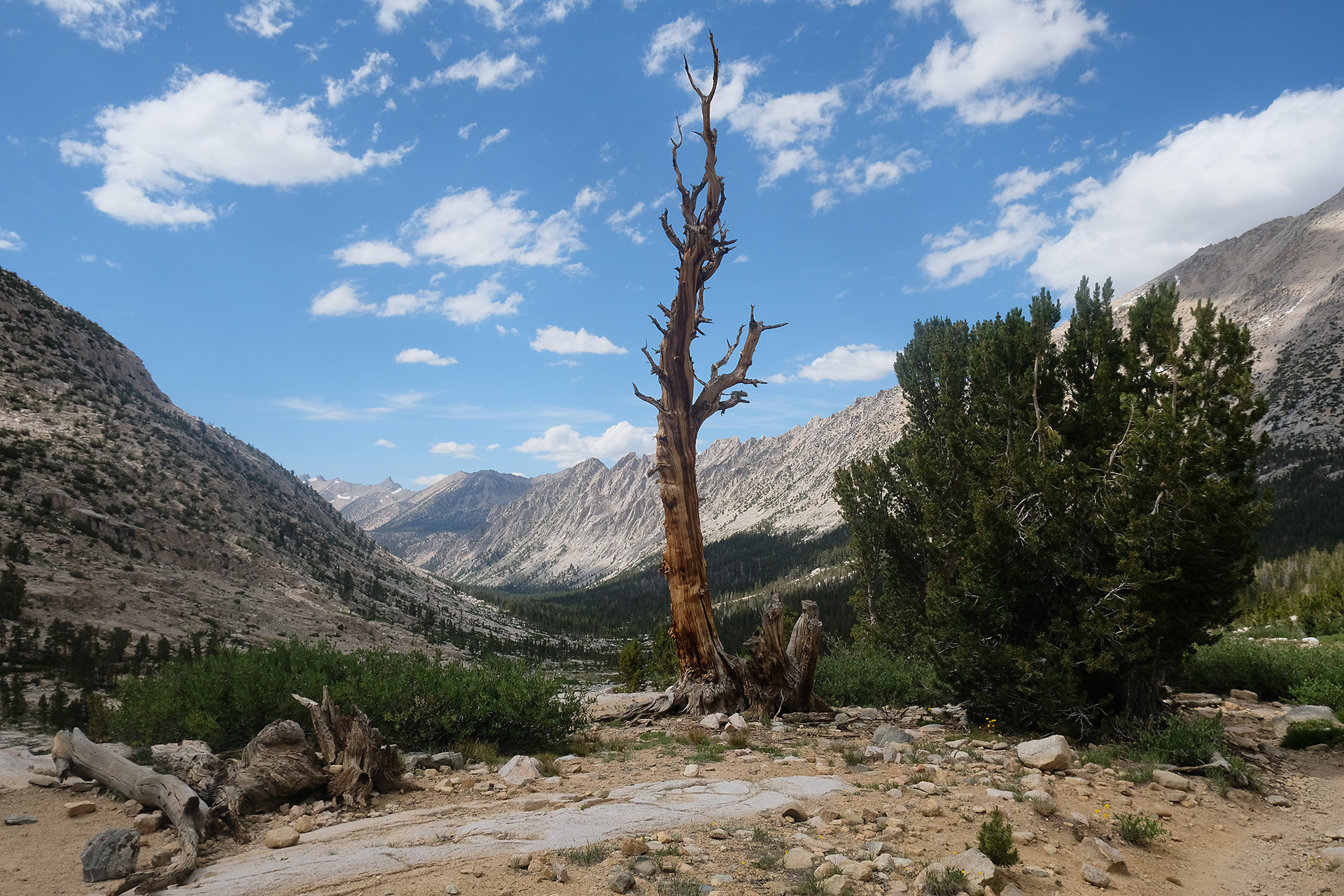
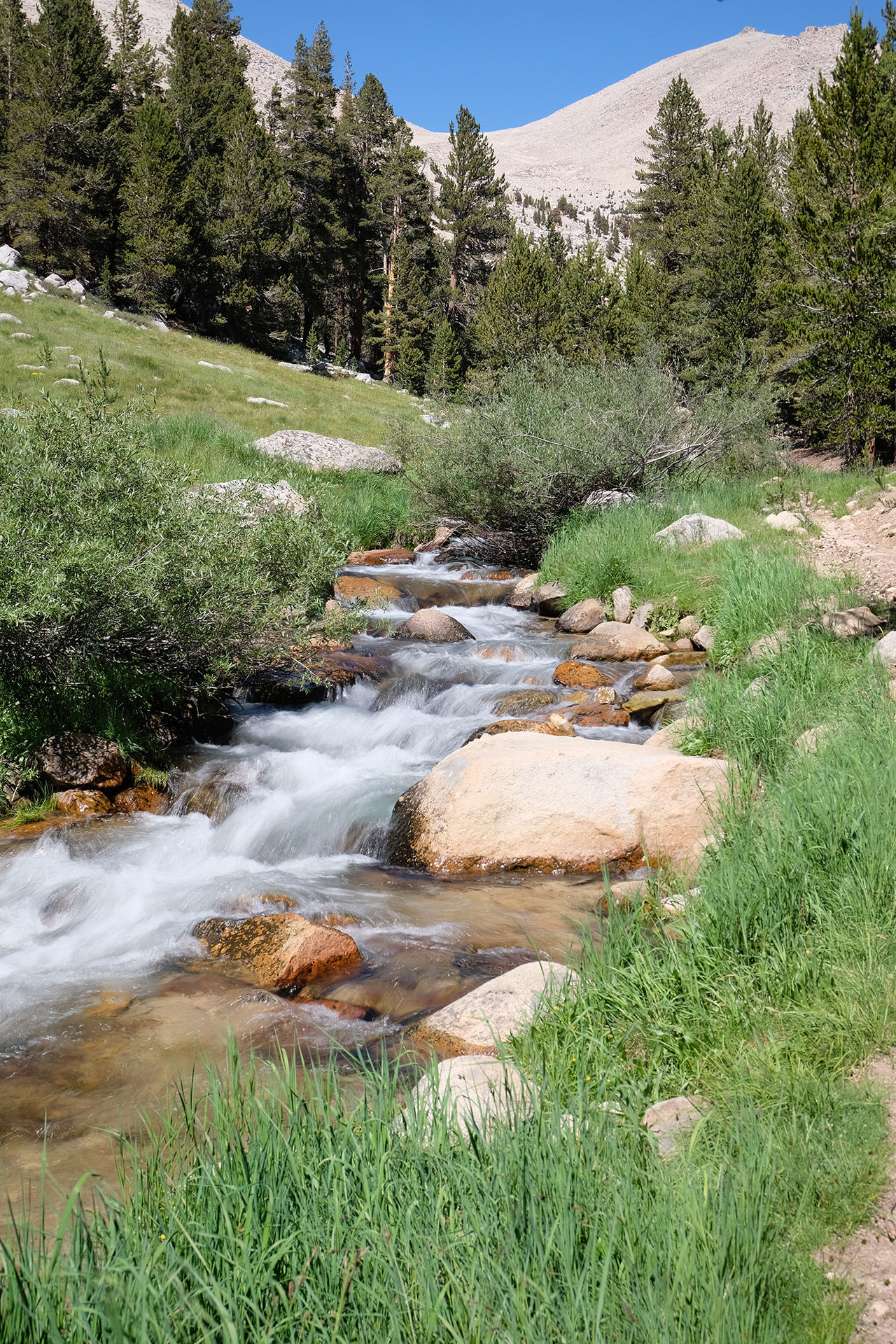
Crossing South Fork Kings River
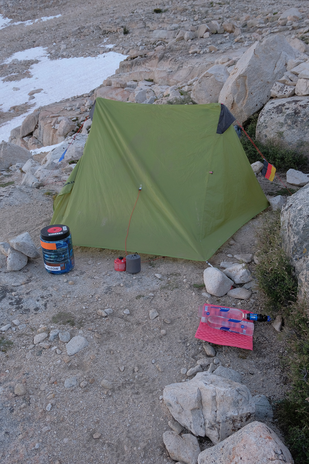
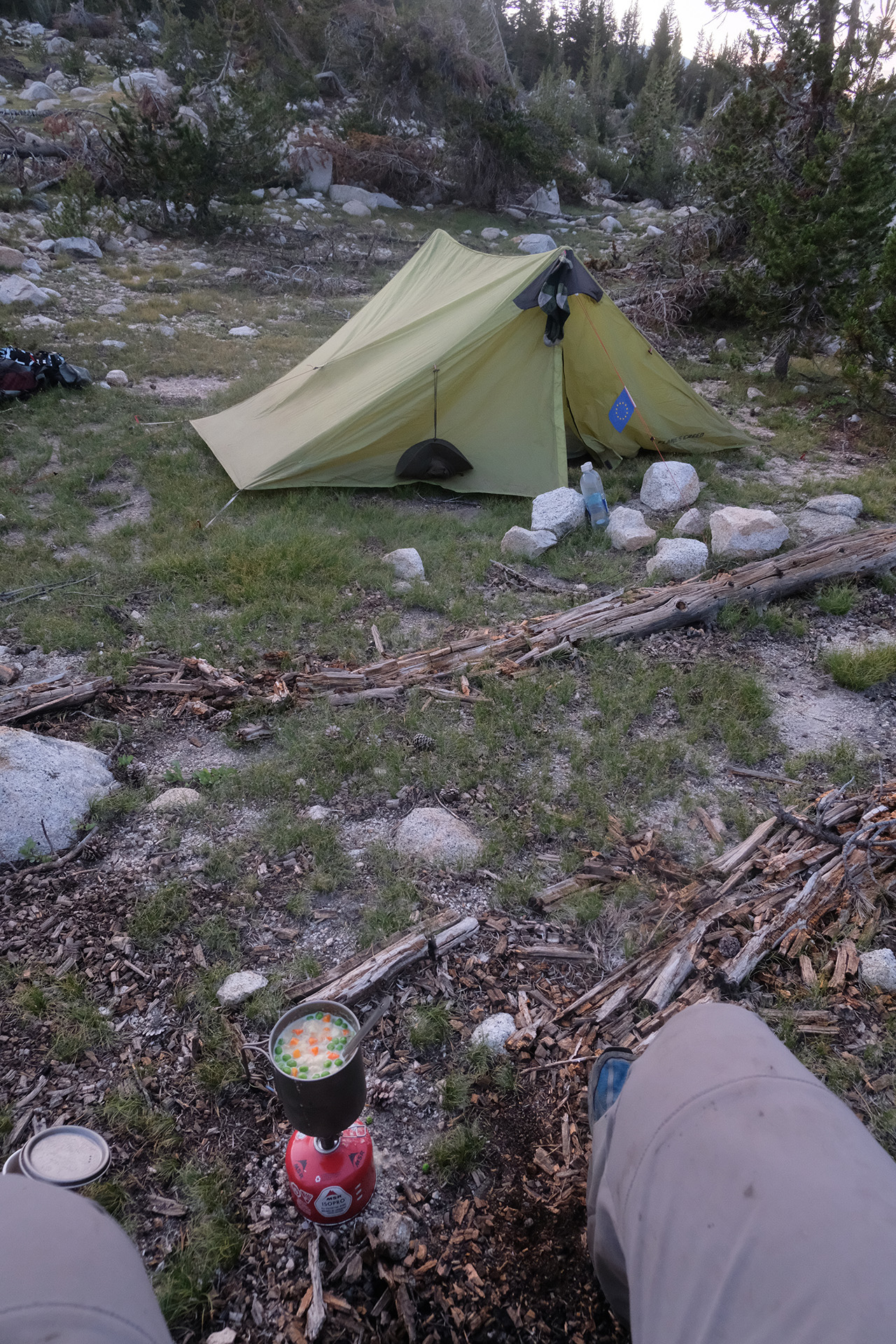
After two fords with quite some water I ended around 6:30 pm at just 10.300 ft. I left my backpack at the planned tent site, and walked a bit down to the river to fill up my water bottles. When I turned around from the river I saw the back of a black bear (of brown colour) disappearing between the bushes maybe 50 ft away. He did not care much about me, and vice versa. I was lucky that he had not tried to undergo my lonely backpack a closer examination.
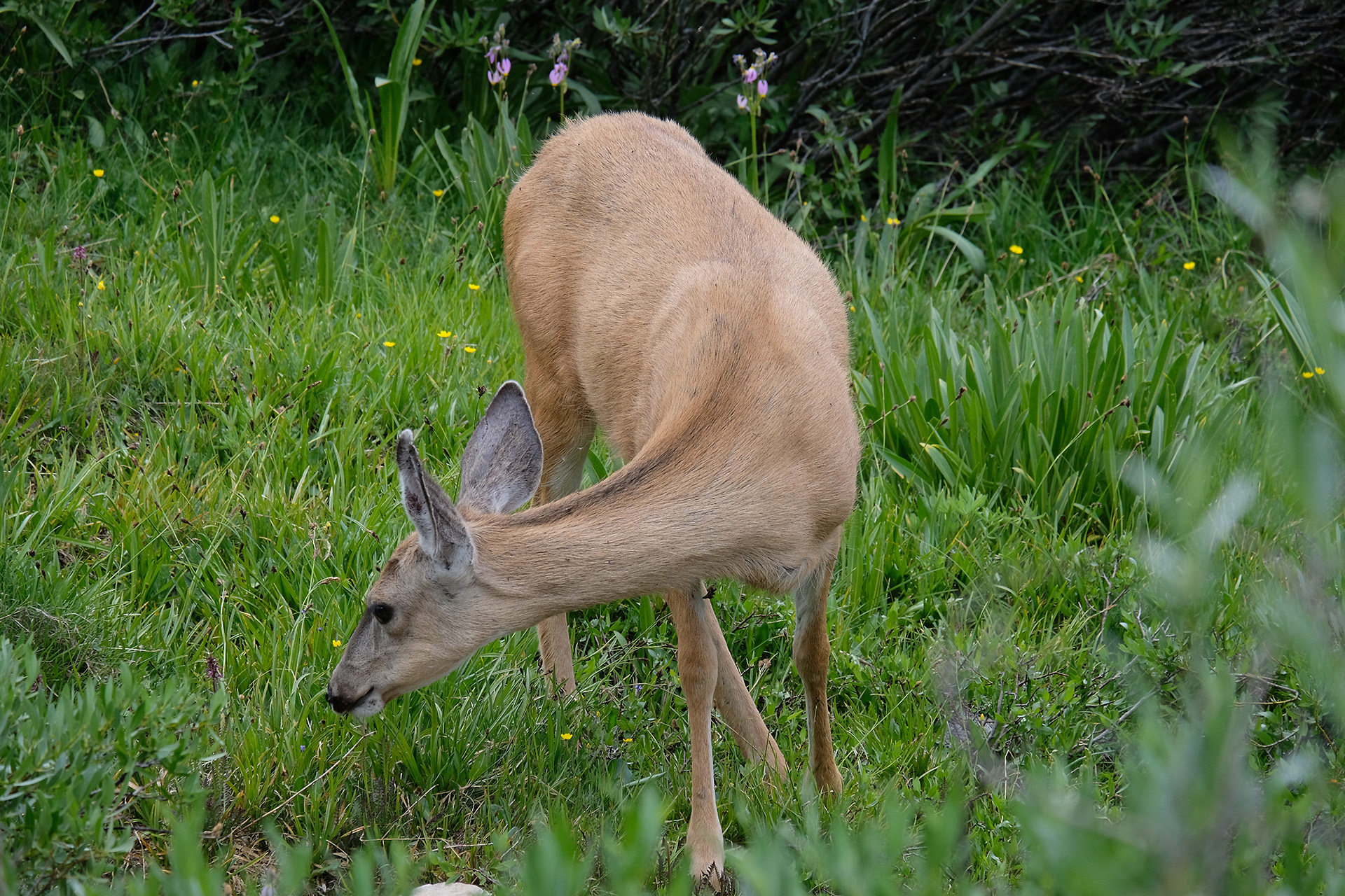
I set up the tent and prepared the dinner. Half an hour later a deer passed by very closely.
Since some nights my inflatable matress, a Therm-a-Rest NeoAir Xlite, seemed to slowly loose air and flattened overnight. But the leak was so small that I would never be able to locate and then repair it. I suspected the valve and had tried to seal it with duct tape, but with no success. So I used my inReach to ask a friend order a new matress for me from REI and let them ship it to VVR. This means that I will have to deal with the flattening matress for another week – no fun.