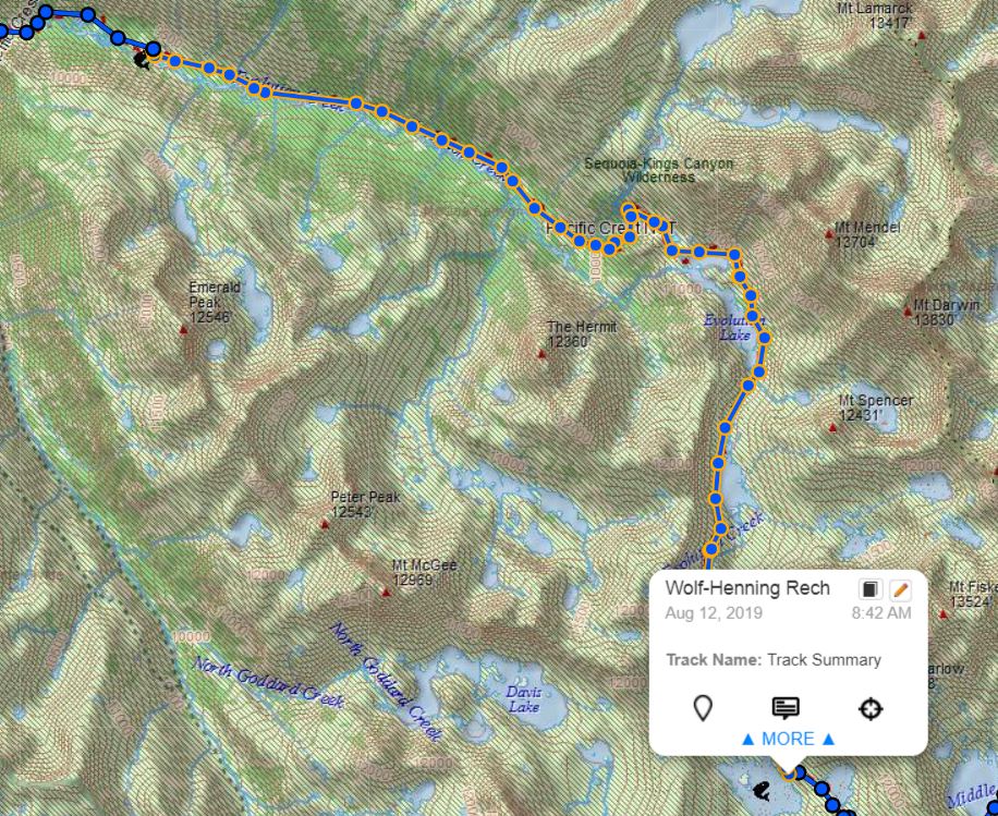
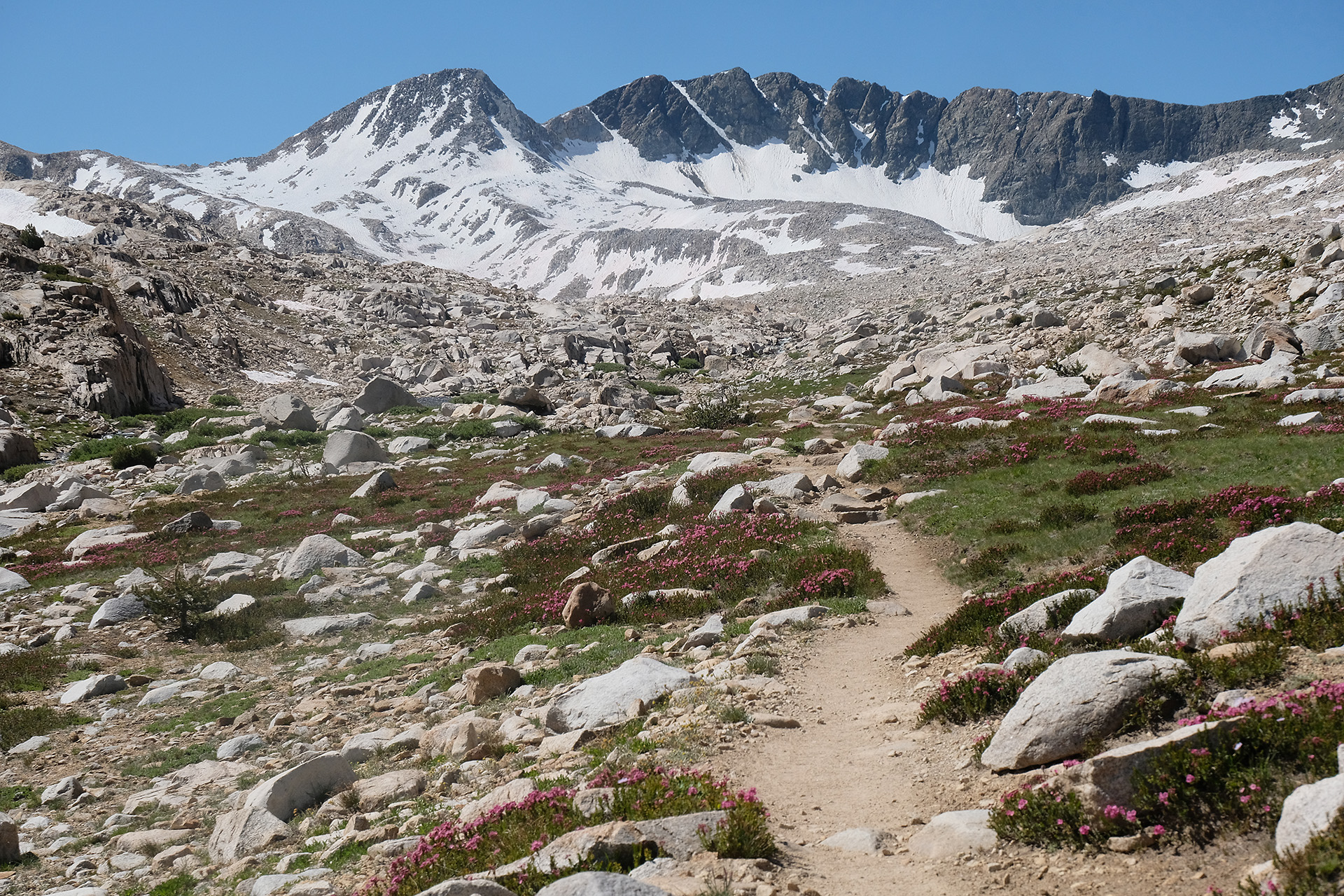
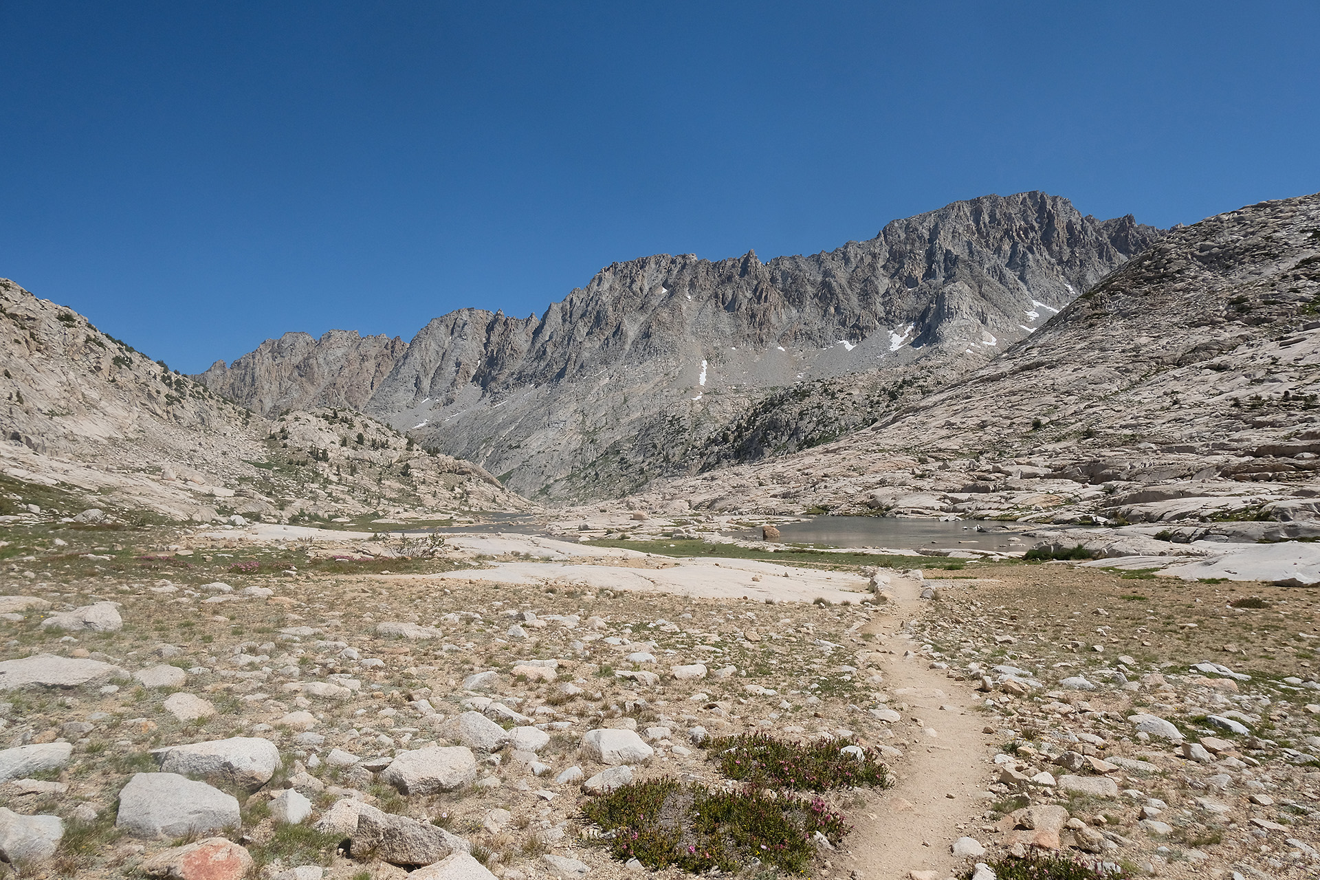
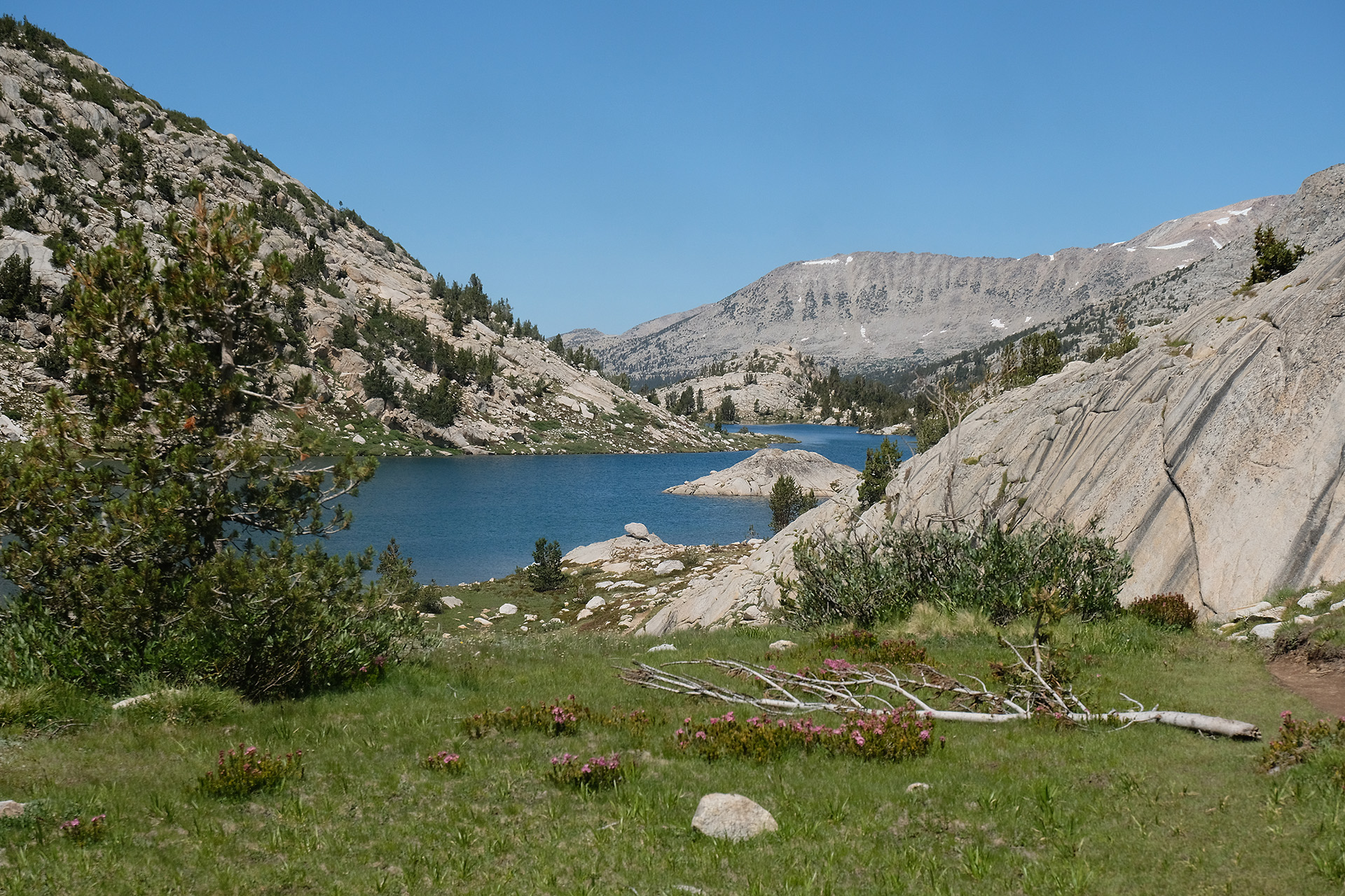
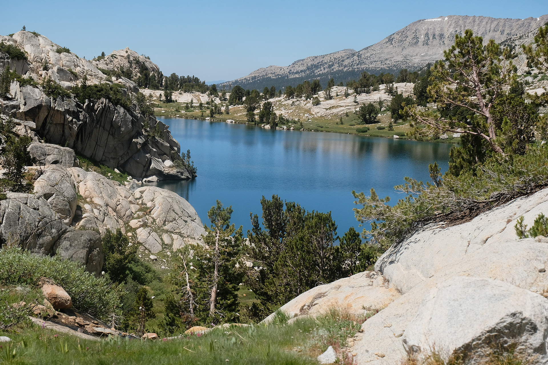
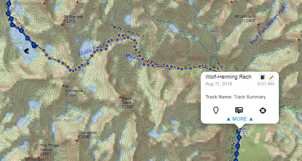
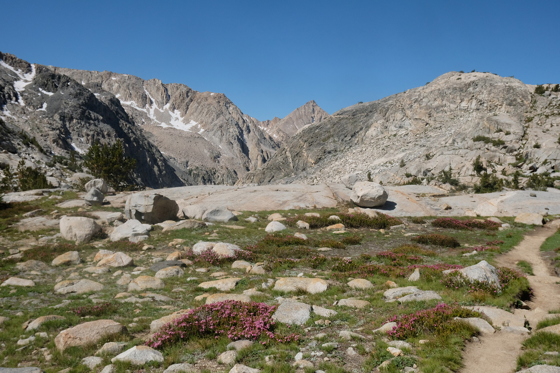
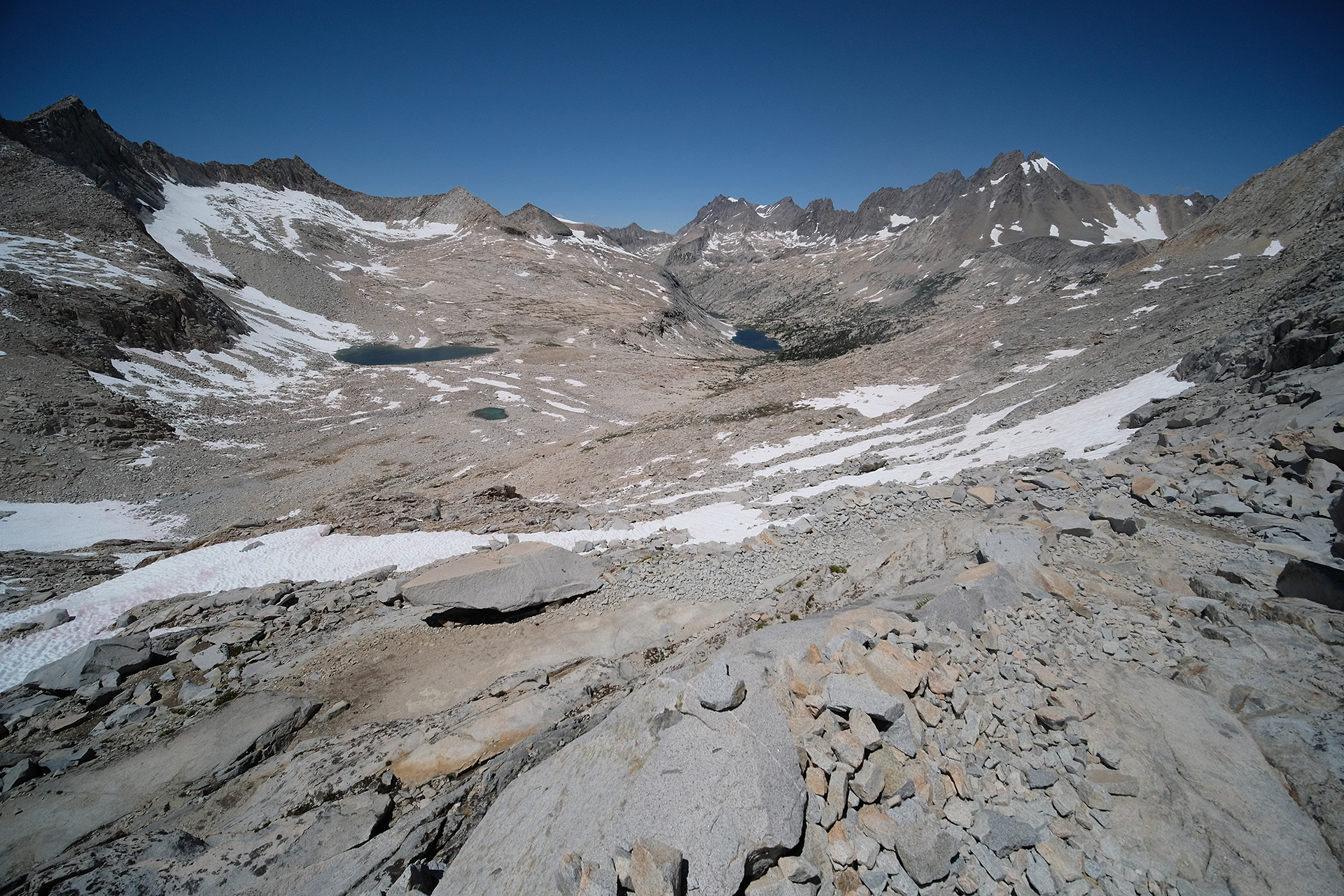
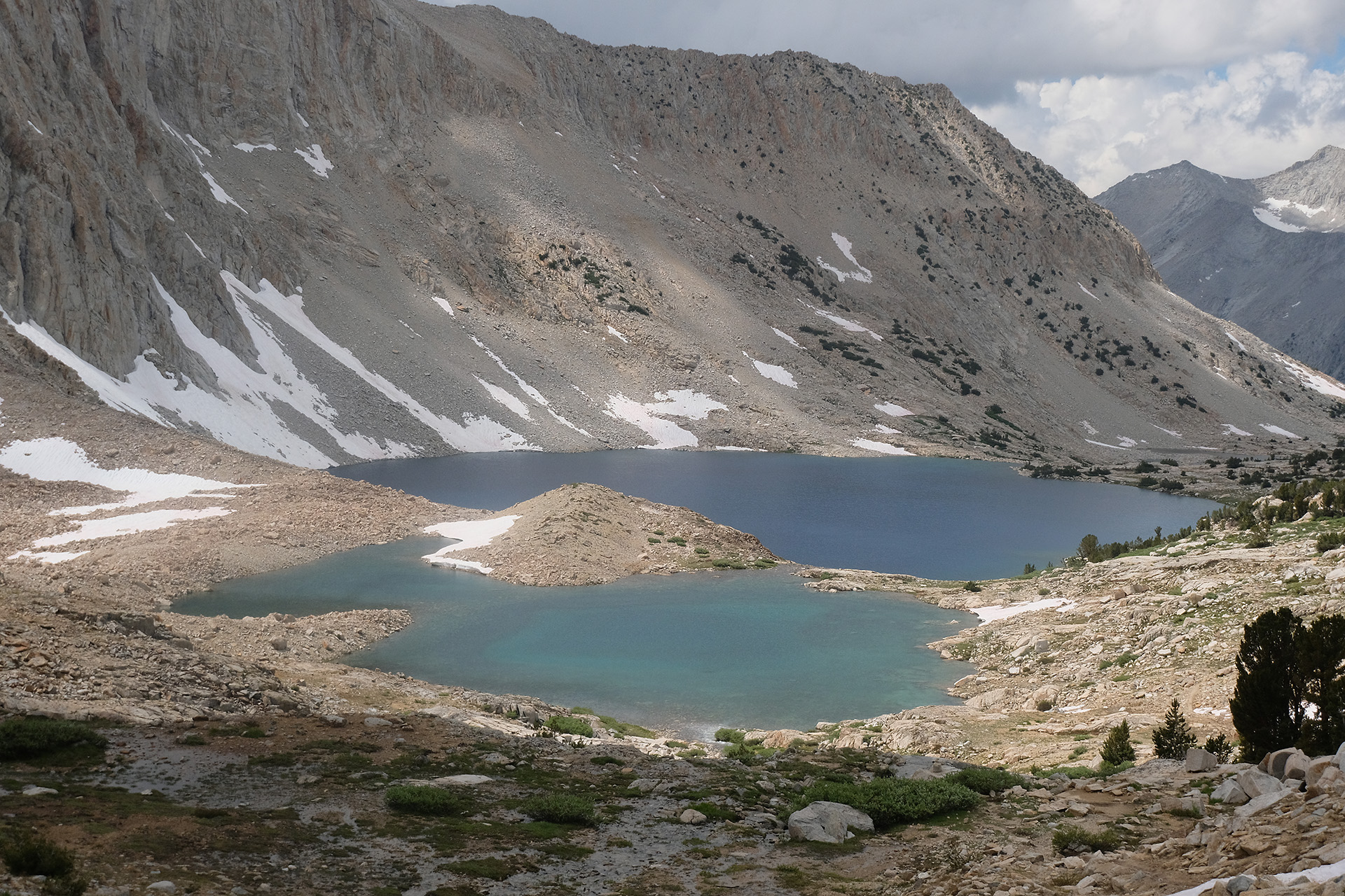
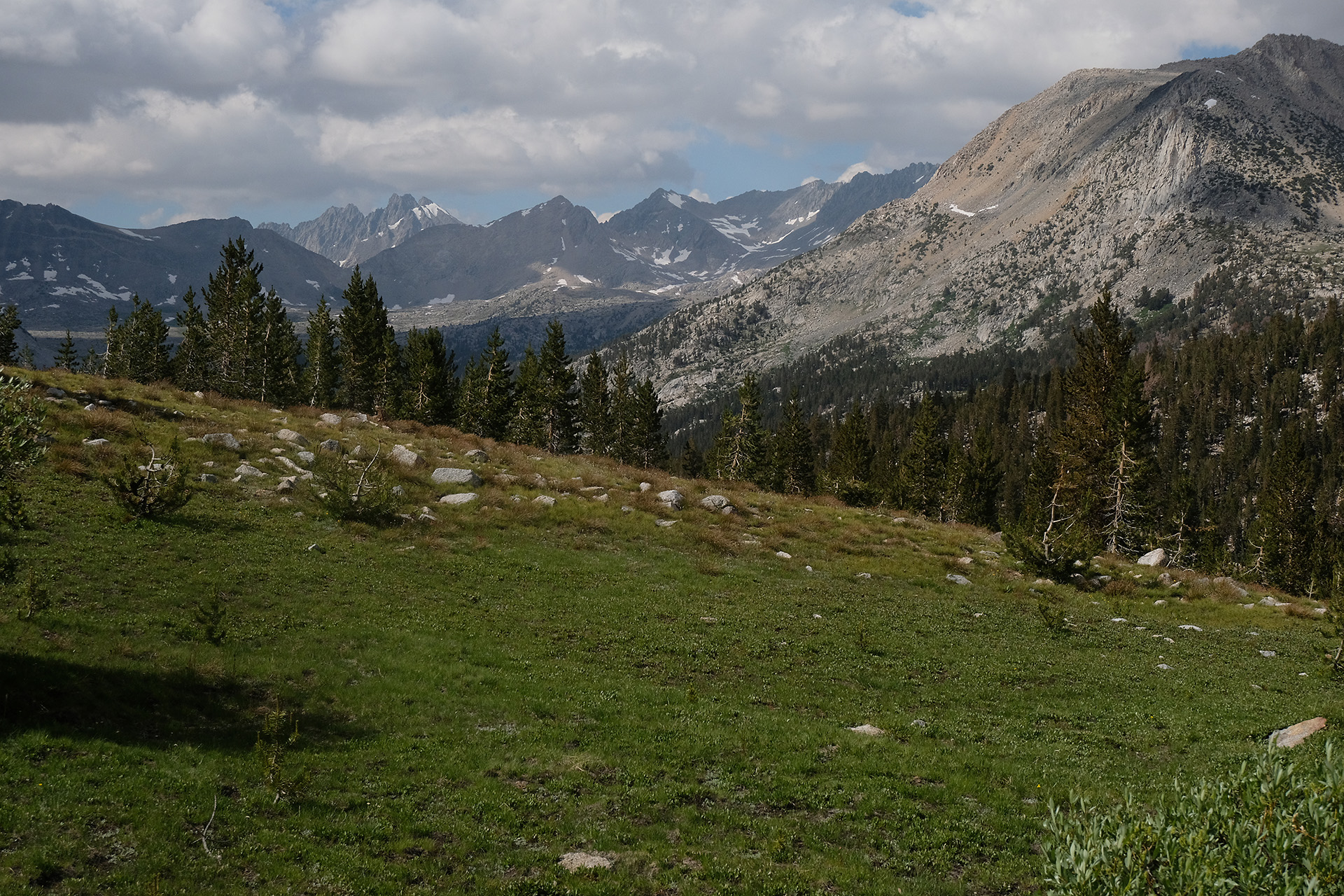
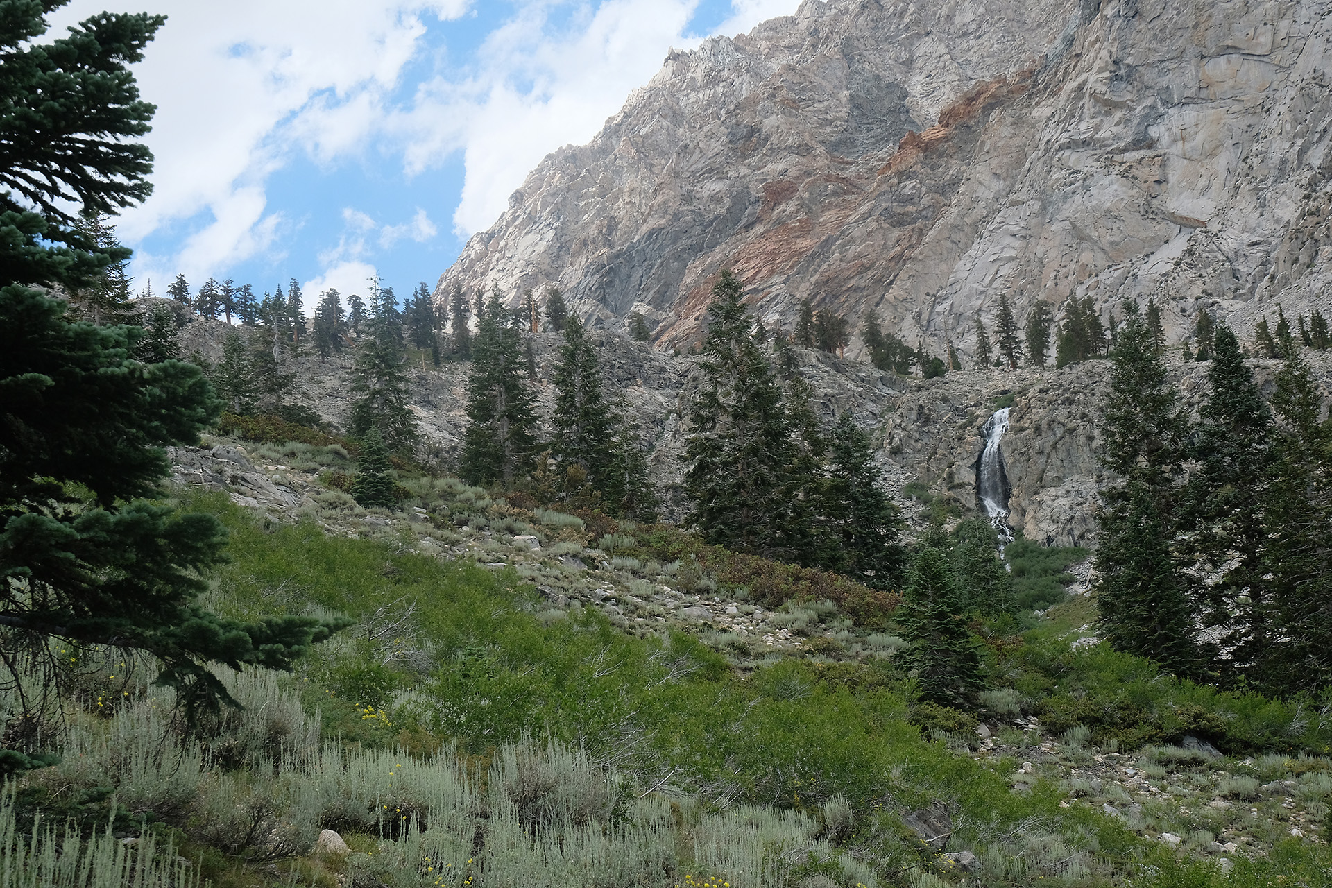
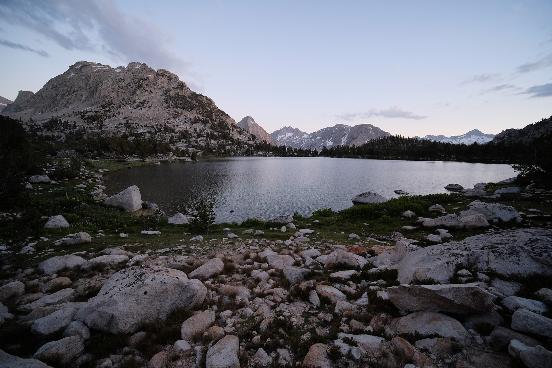
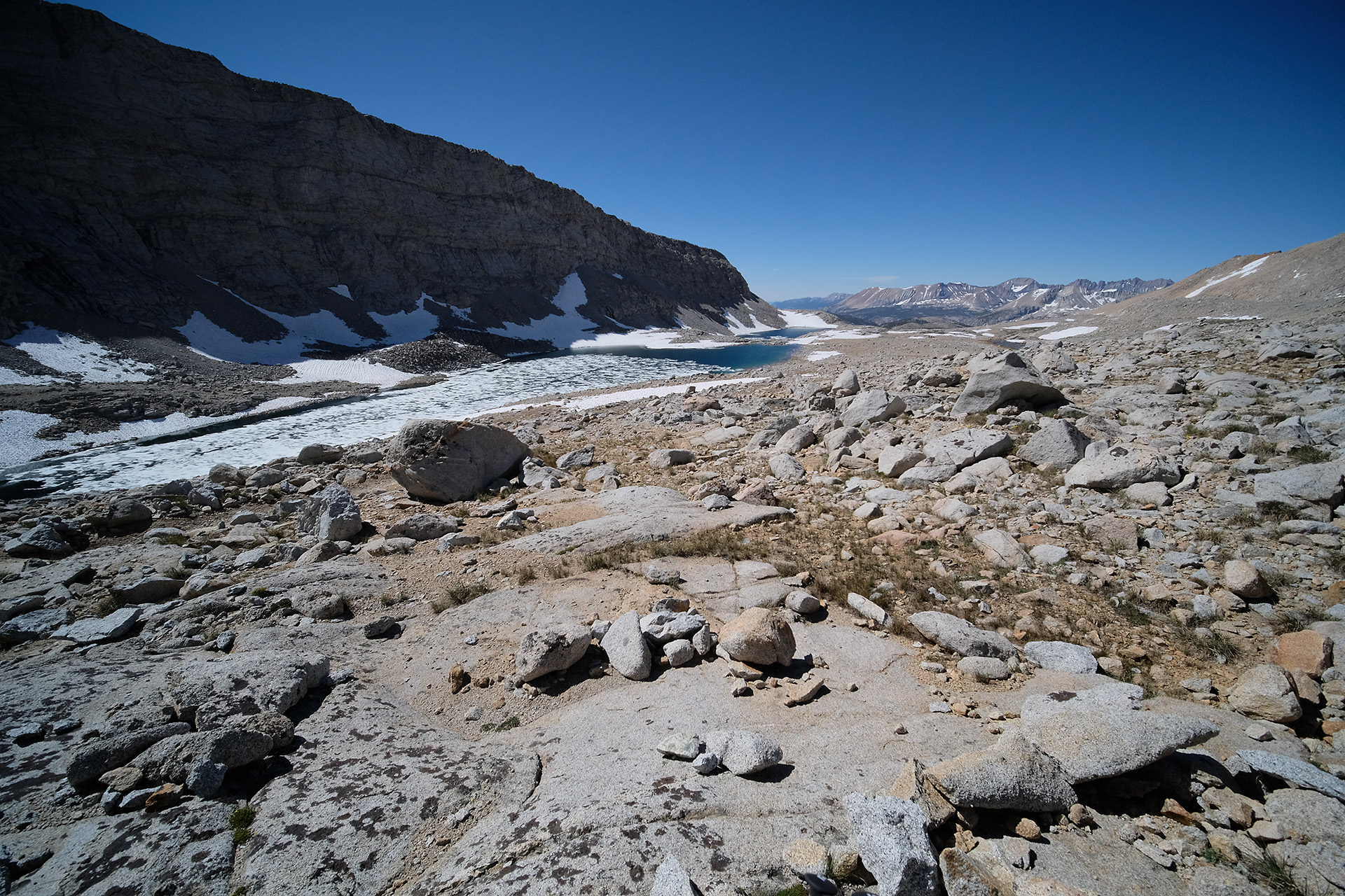
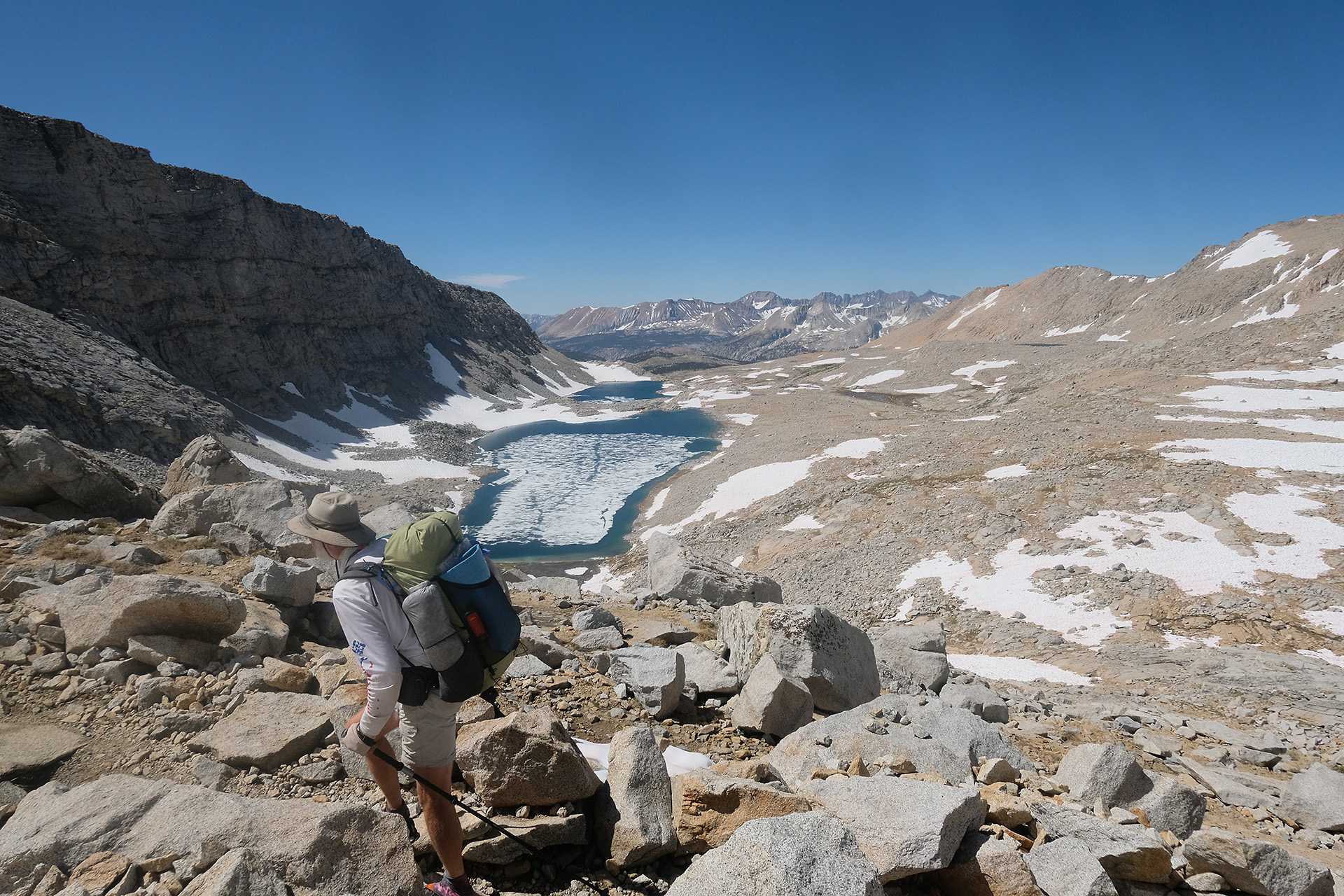
It was the day of the lakes. The trail started at Wanda Lake (11.400 ft), going down the Evolution Basin along Sapphire Lake (11.000 ft) and later the long and beautiful Evolution Lake (10.850 ft). A blue sky without any cloud created hot temperatures in spite of the elevation.
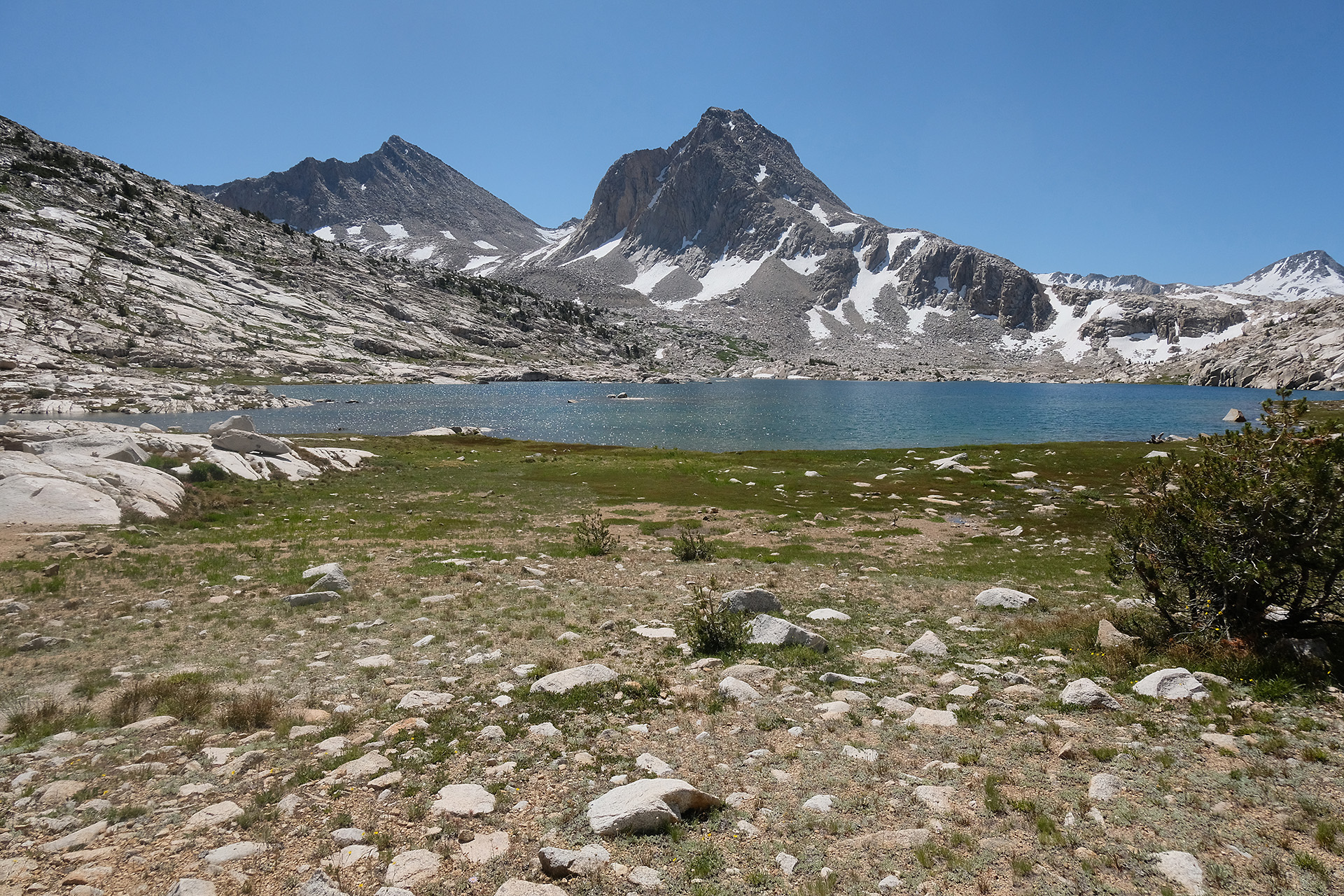
Sapphire Lake
Sapphire Lake
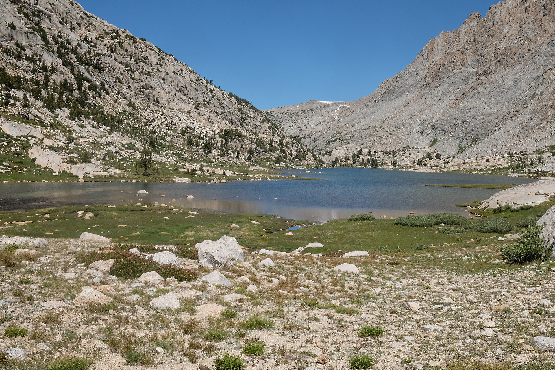
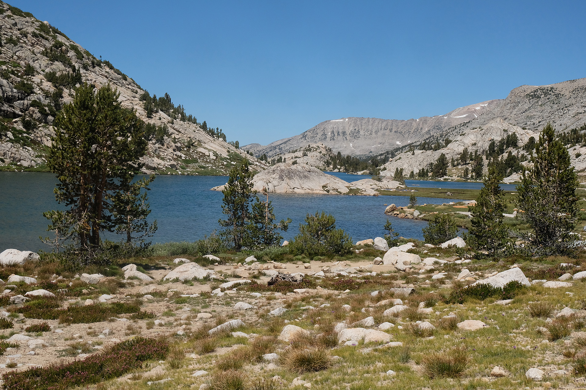
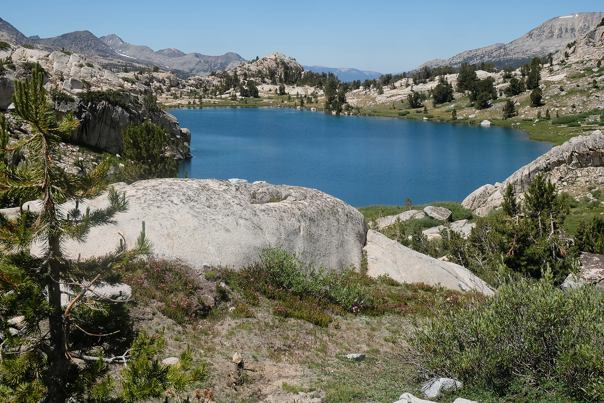
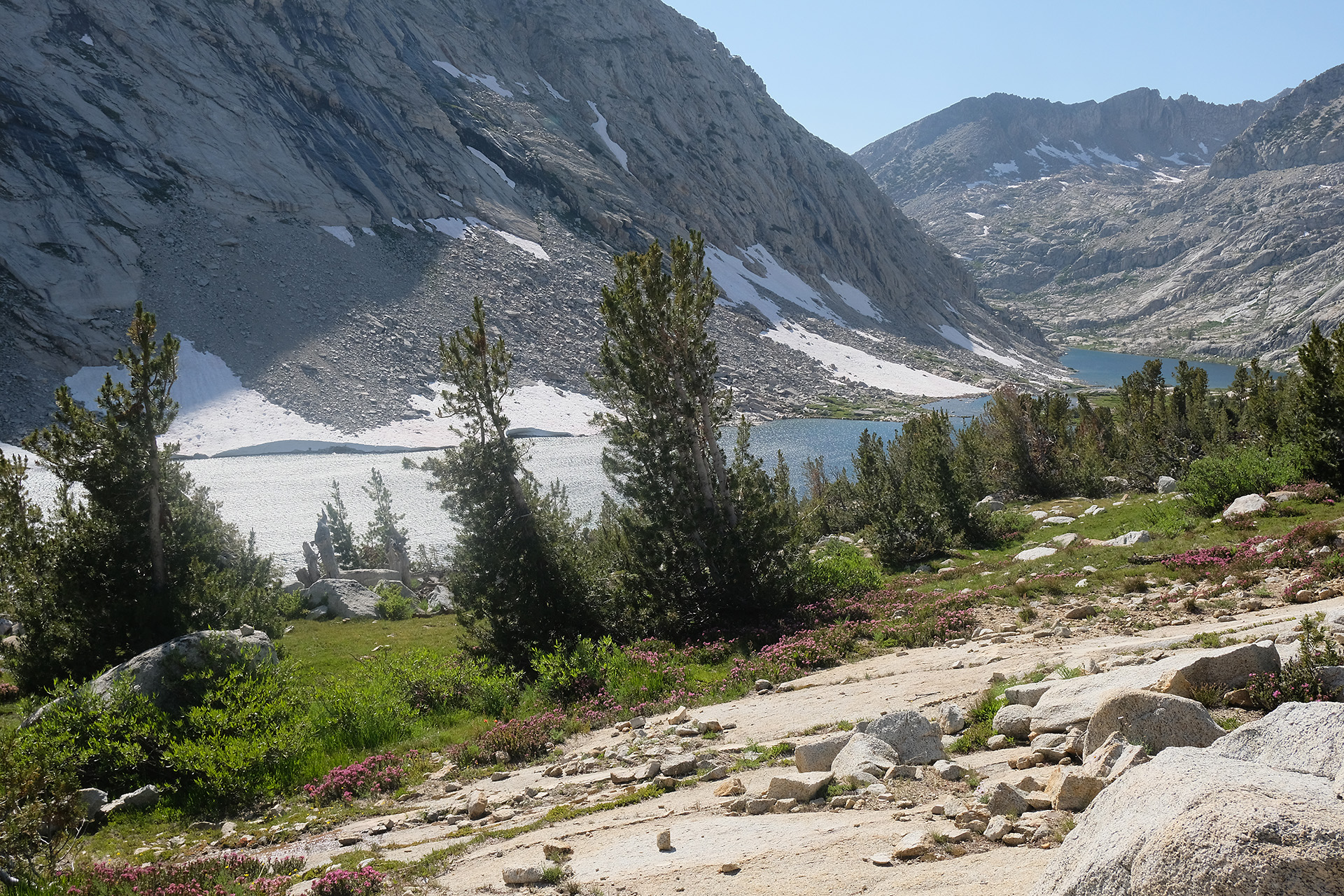
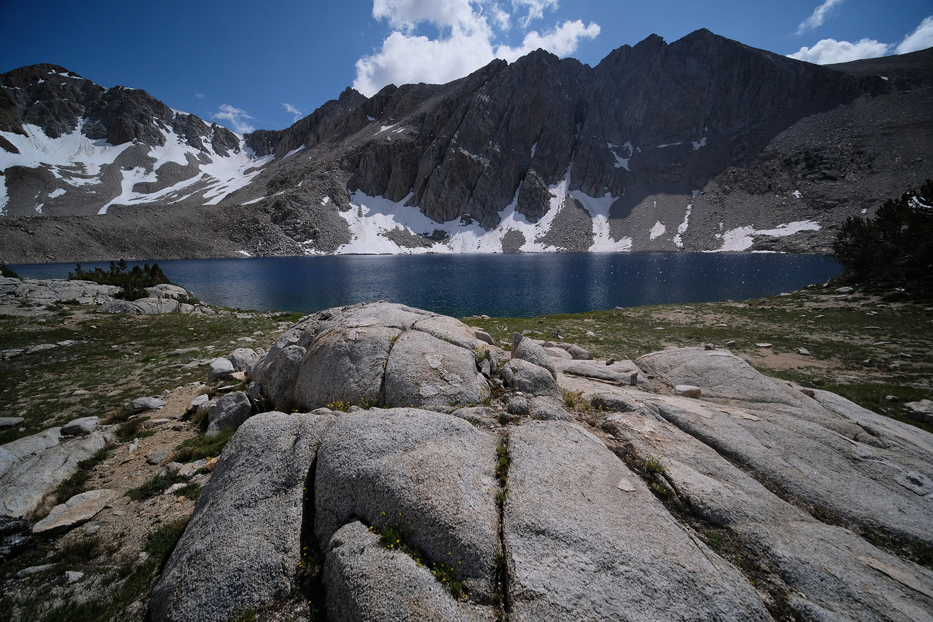
South shore of Evolution Lake
Evolution Lake
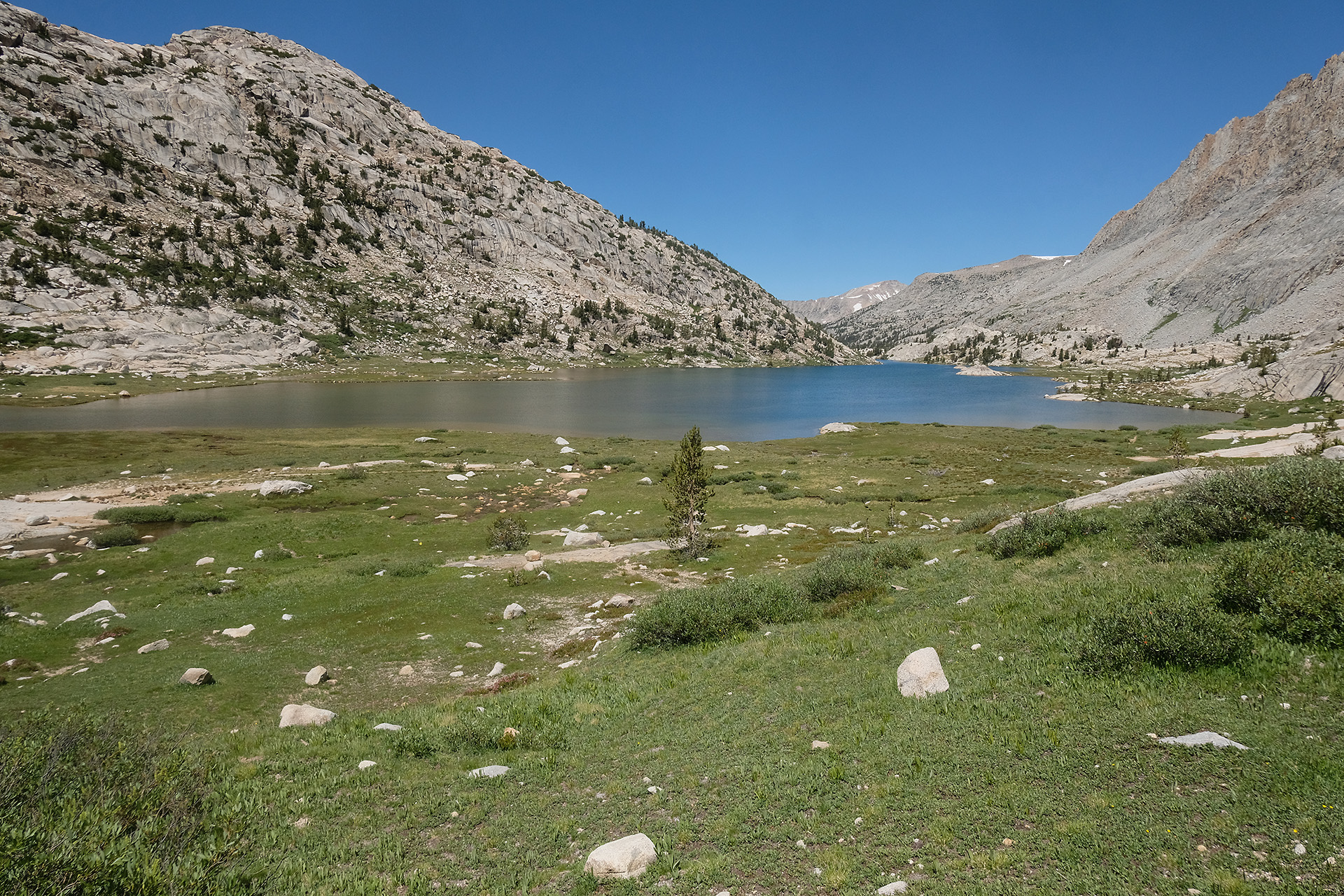
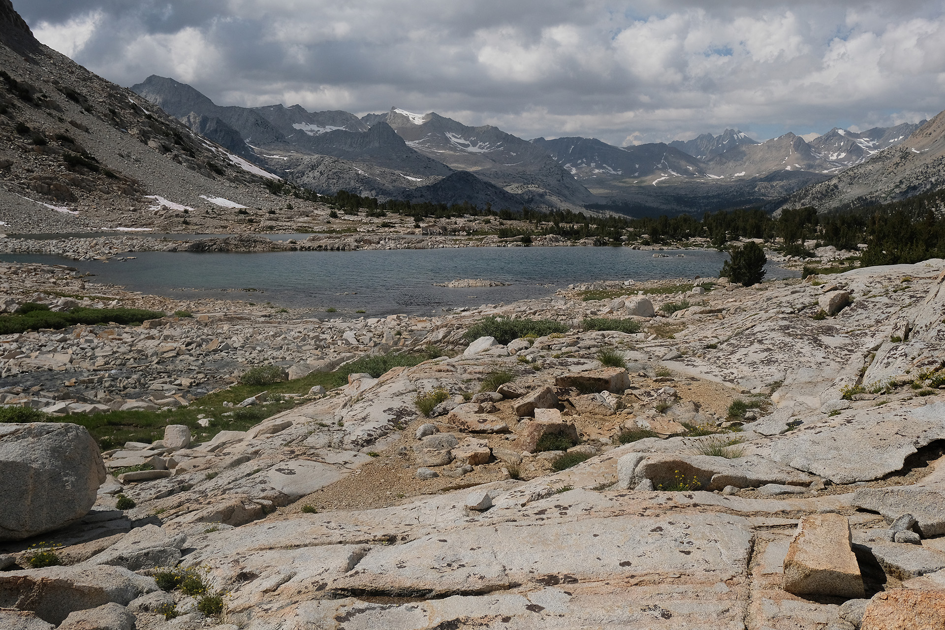
Central Evolution Lake – view to northwest
Central Evolution Lake – view to southwest
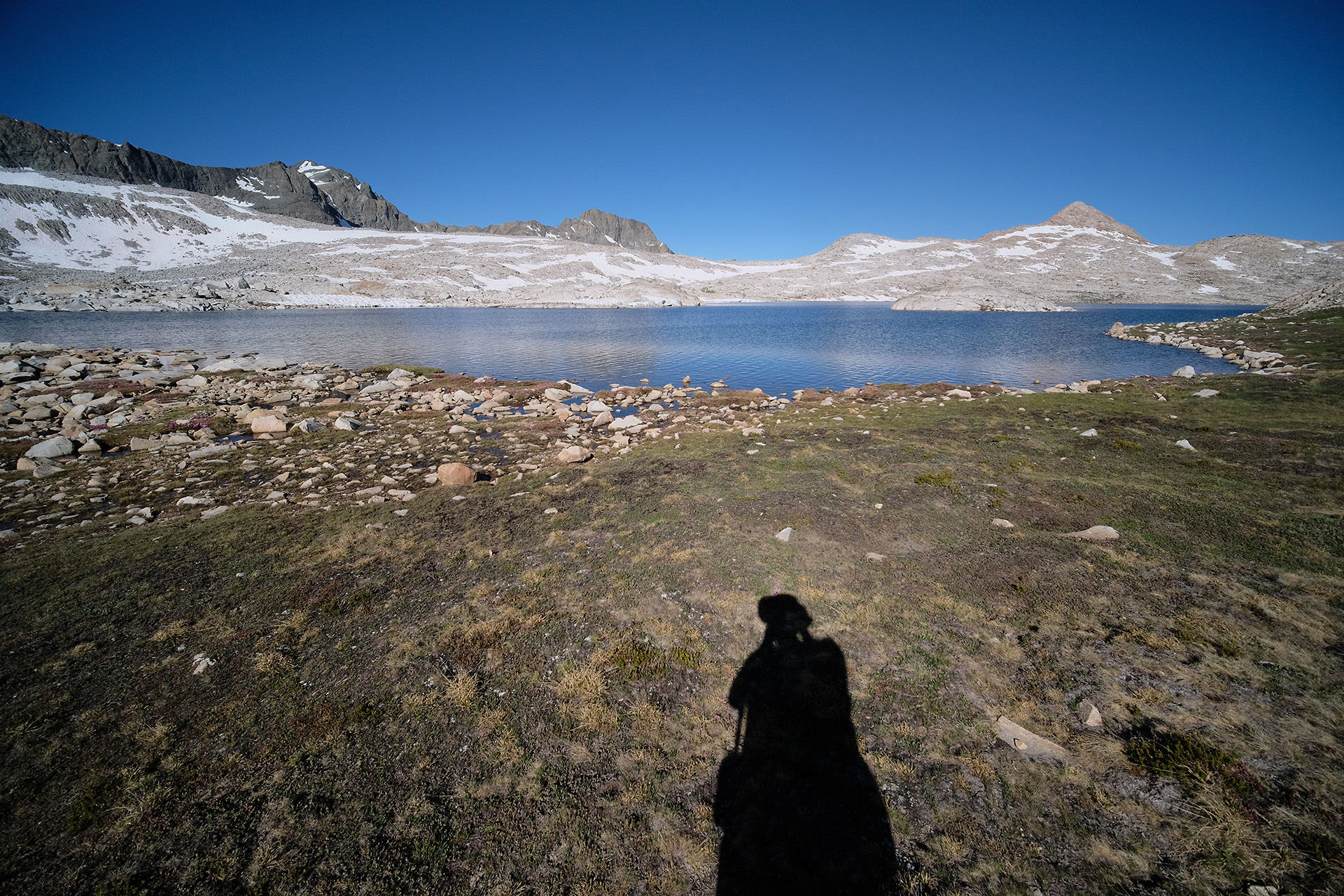
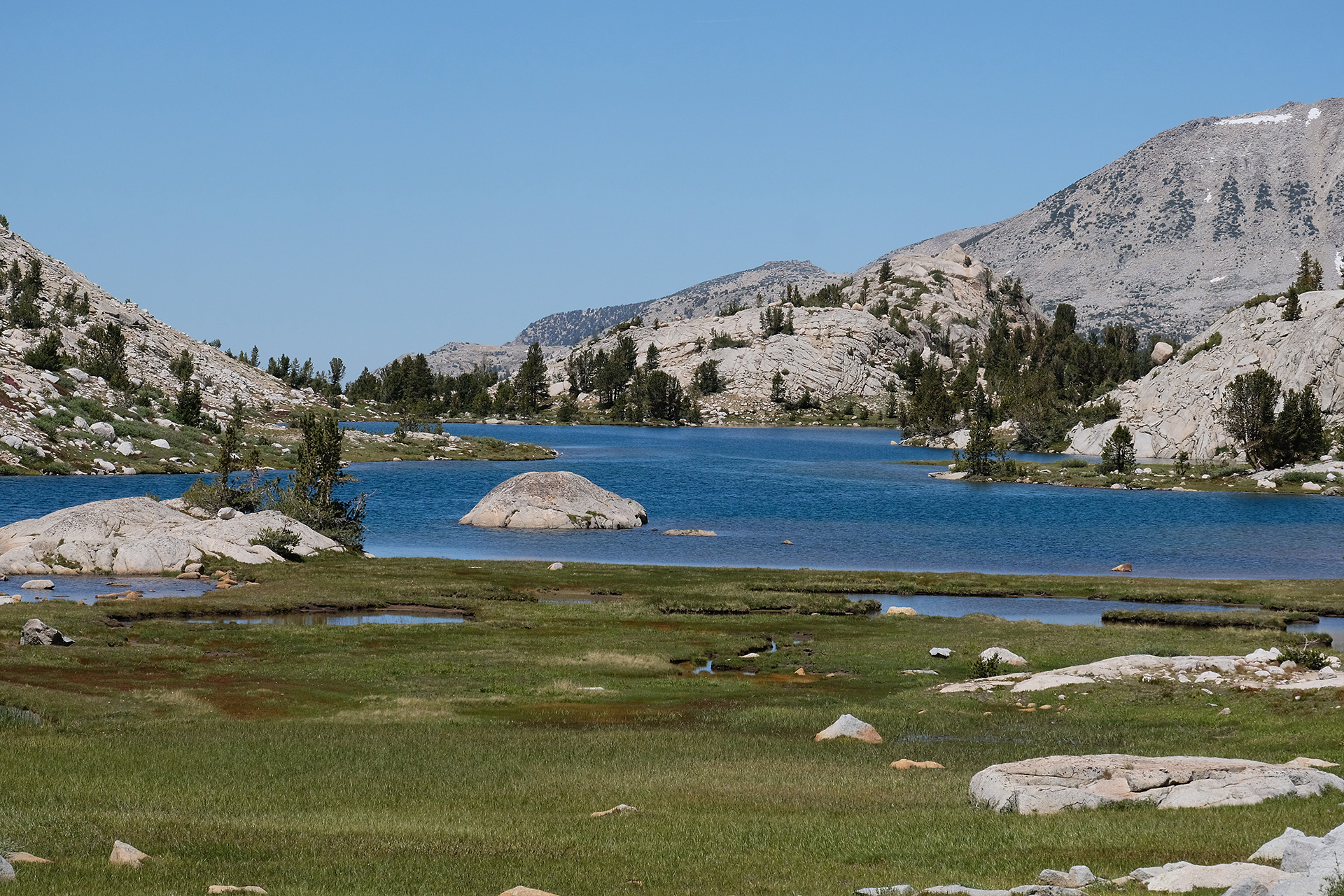
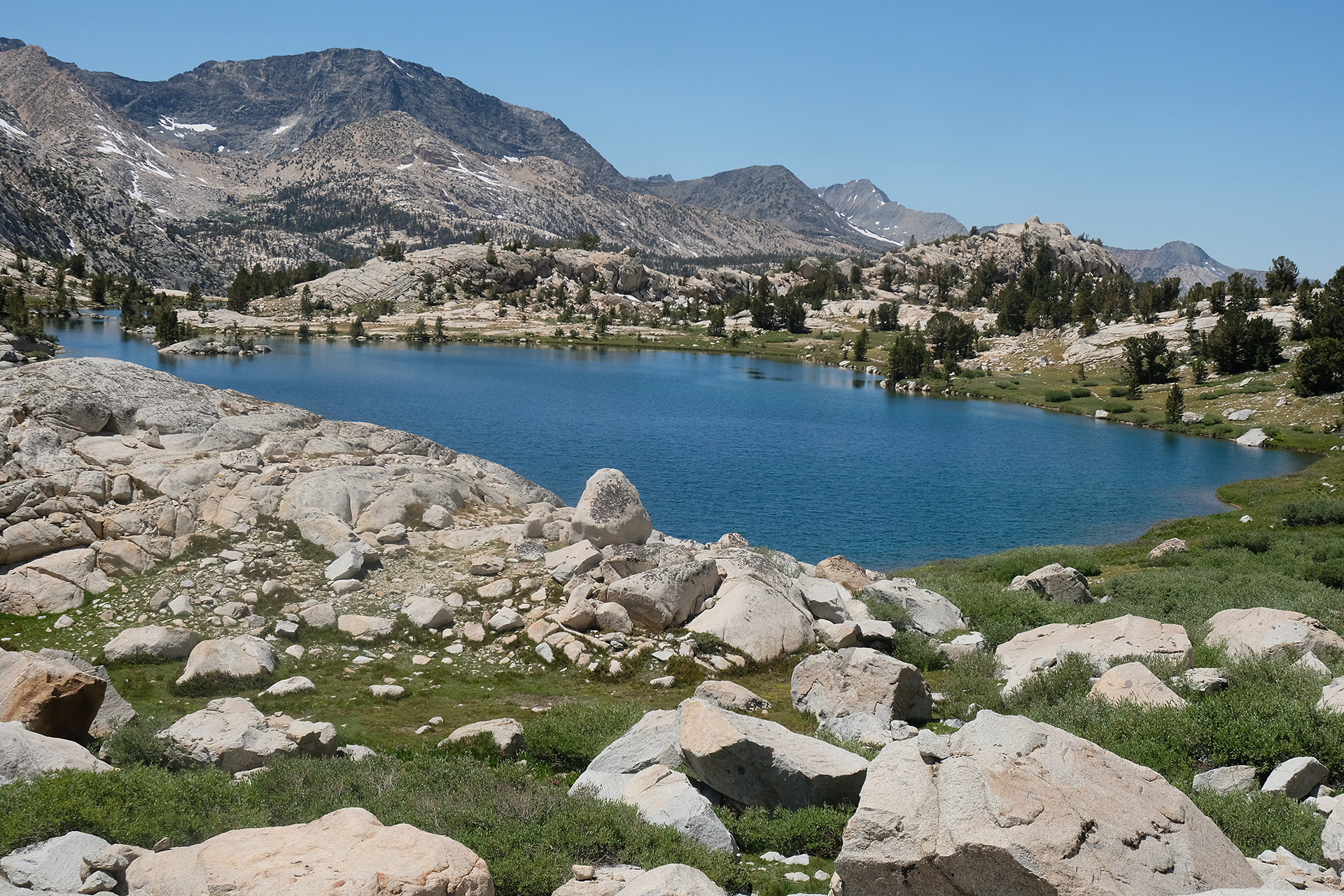
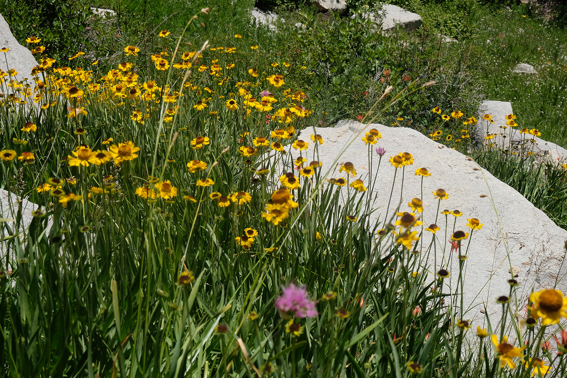
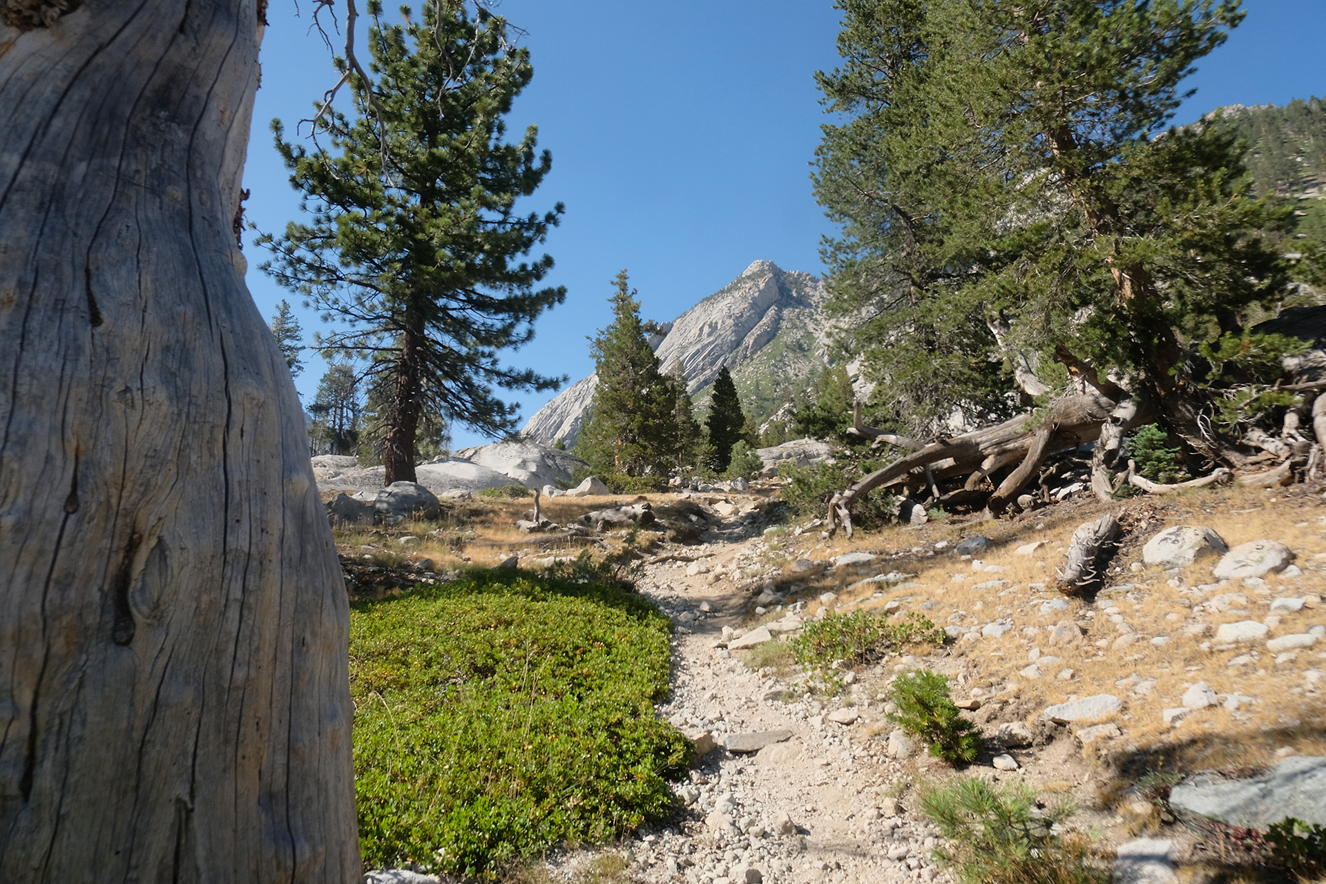
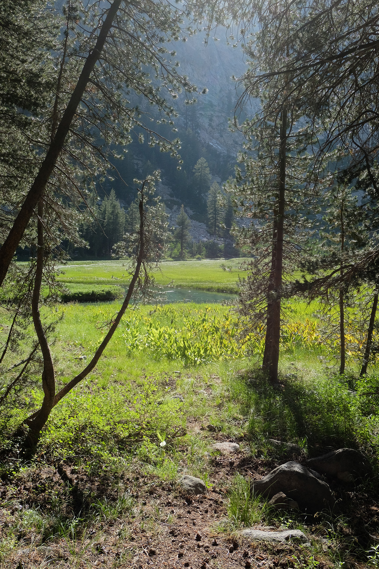
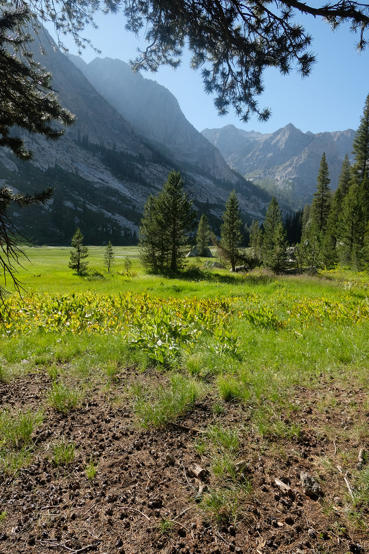
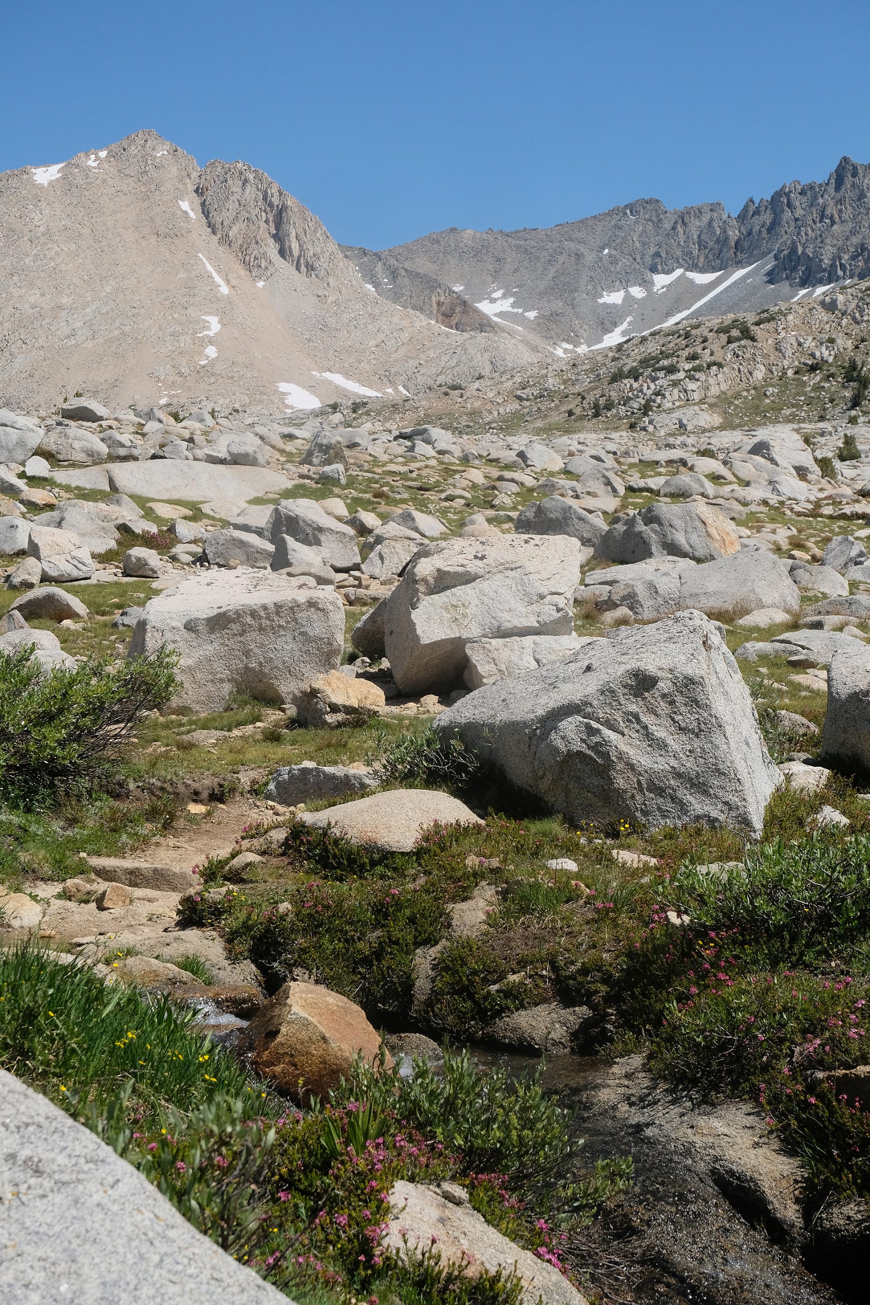
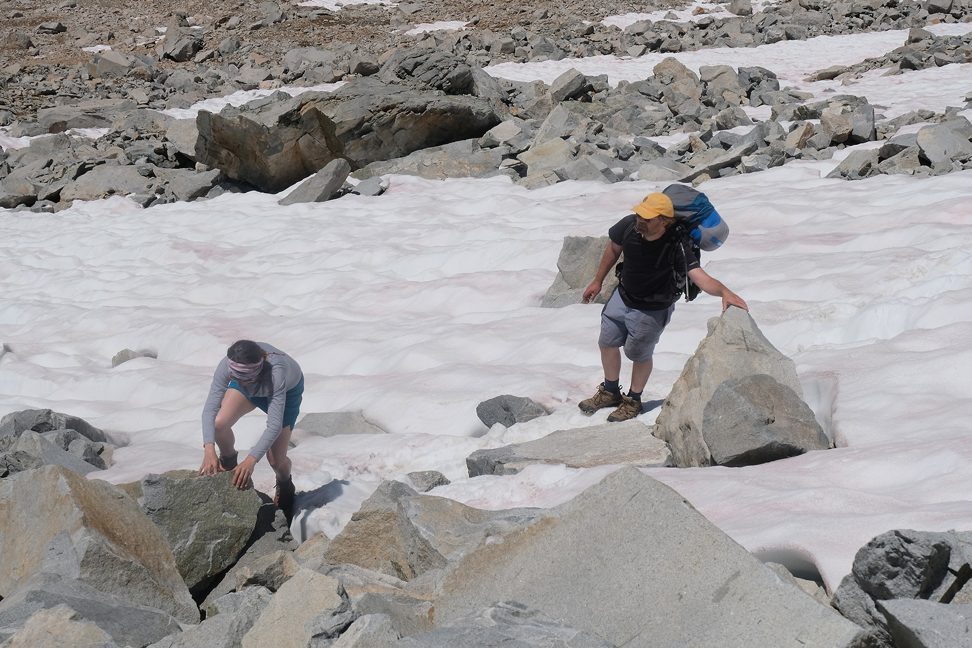
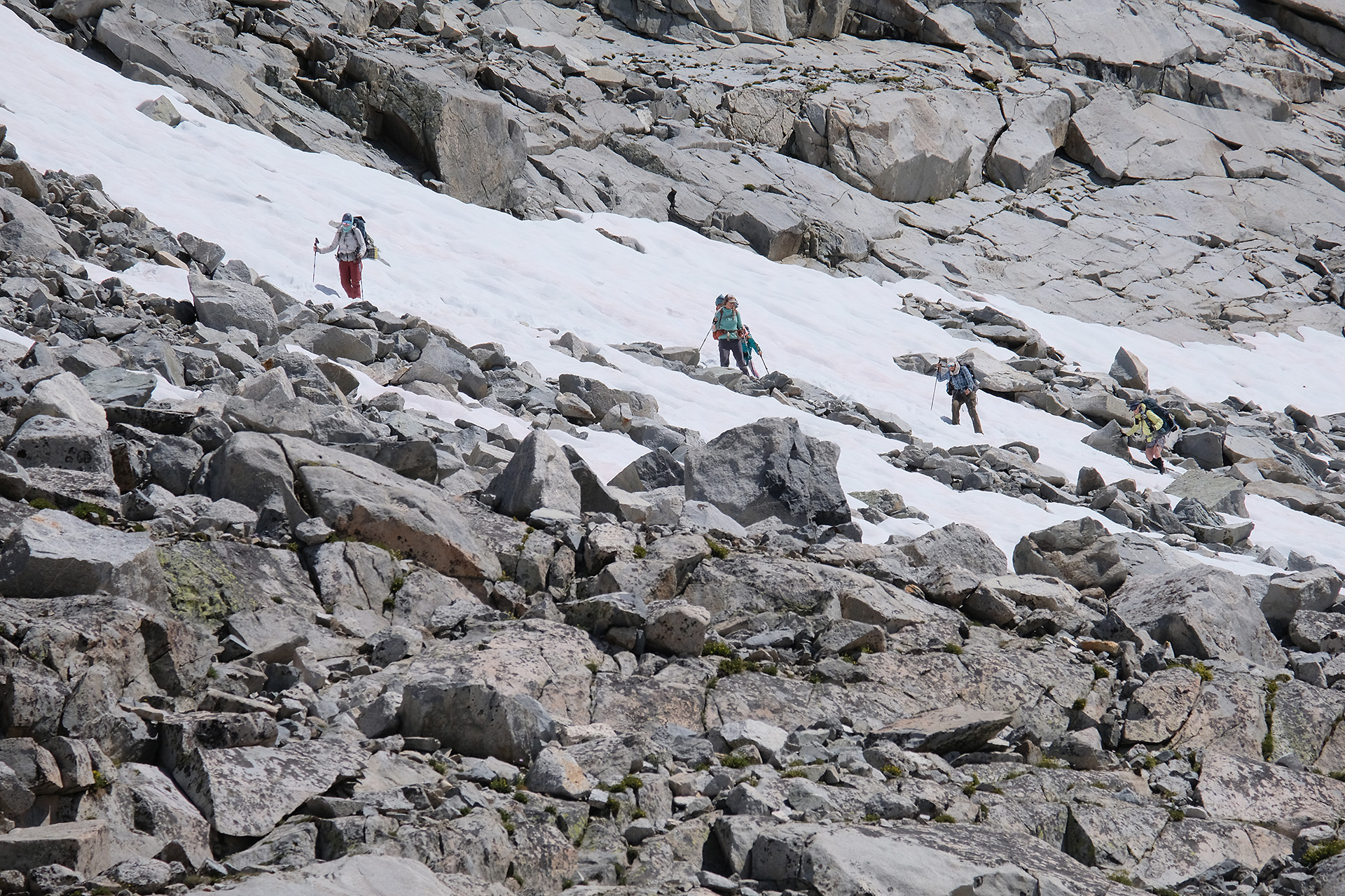
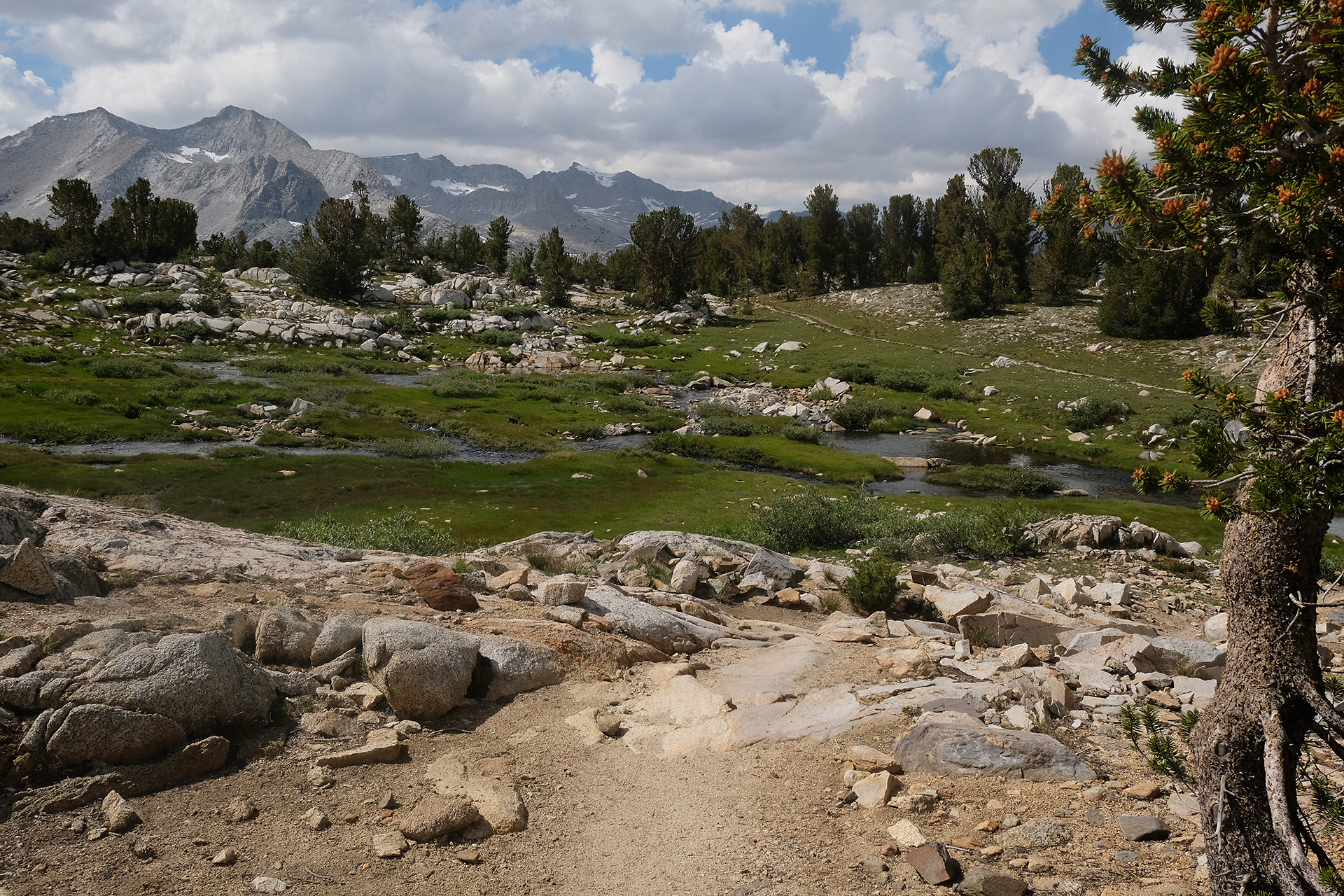
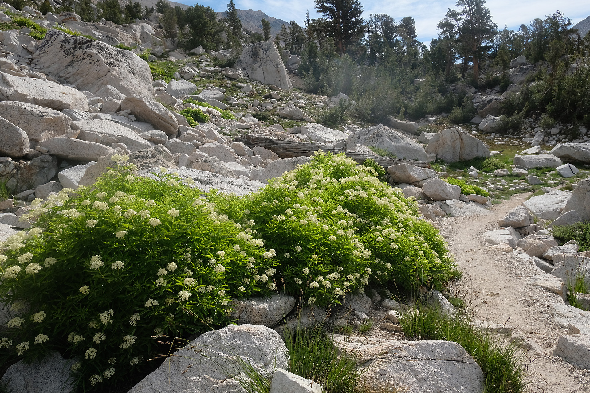
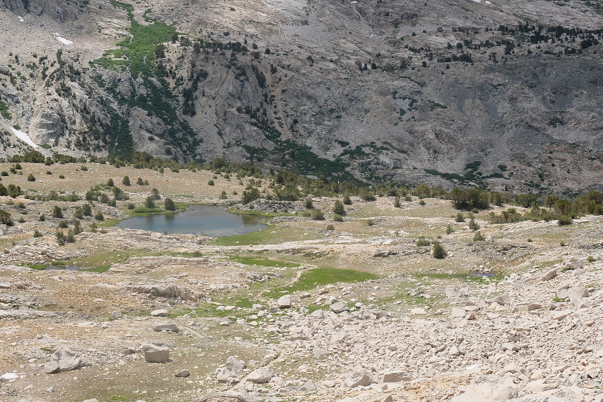
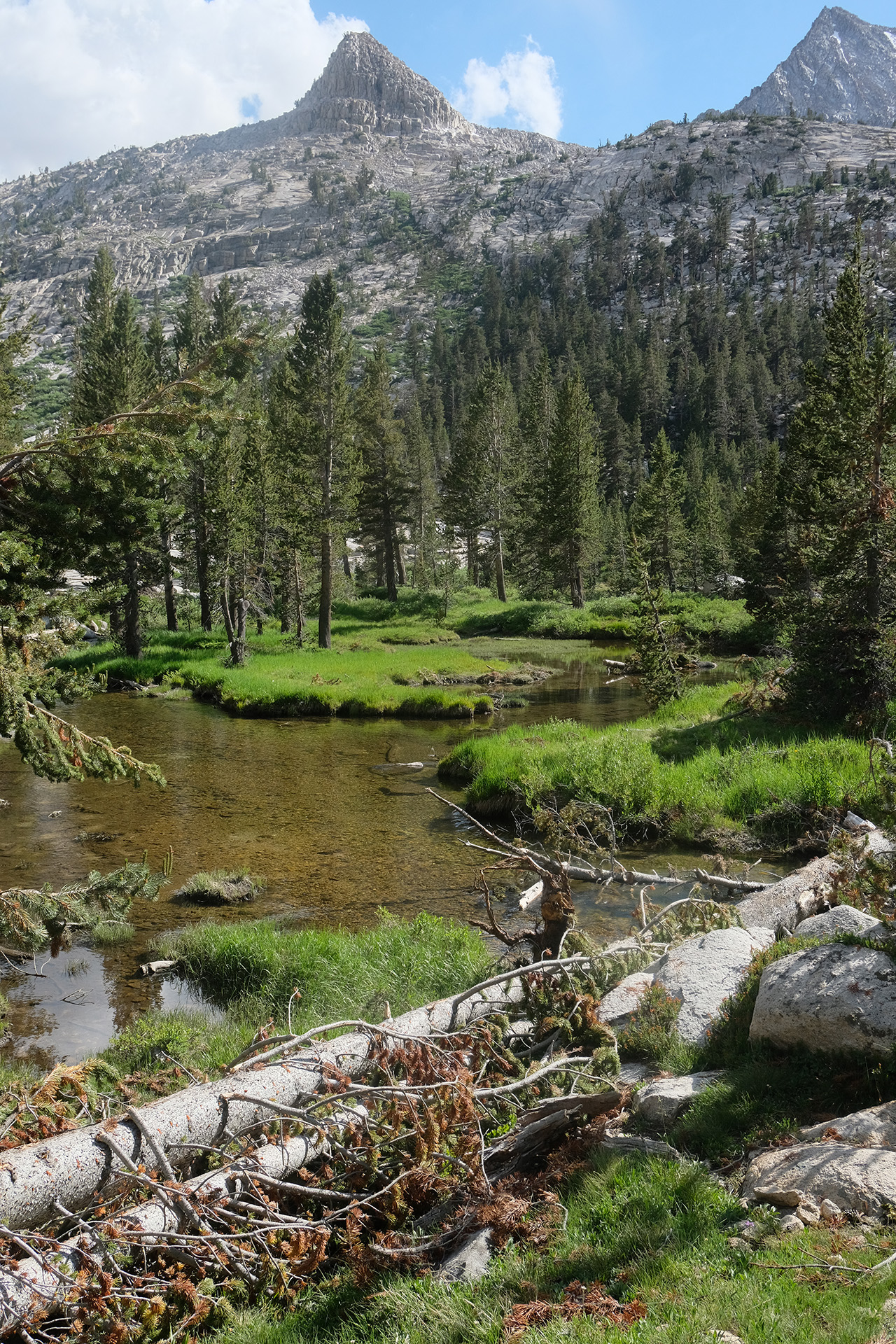
The landscape changed from alpine rocks with lots of snow patches gradually to green meadows.
Meadow east of Evolution Lake
North shore of Evolution Lake
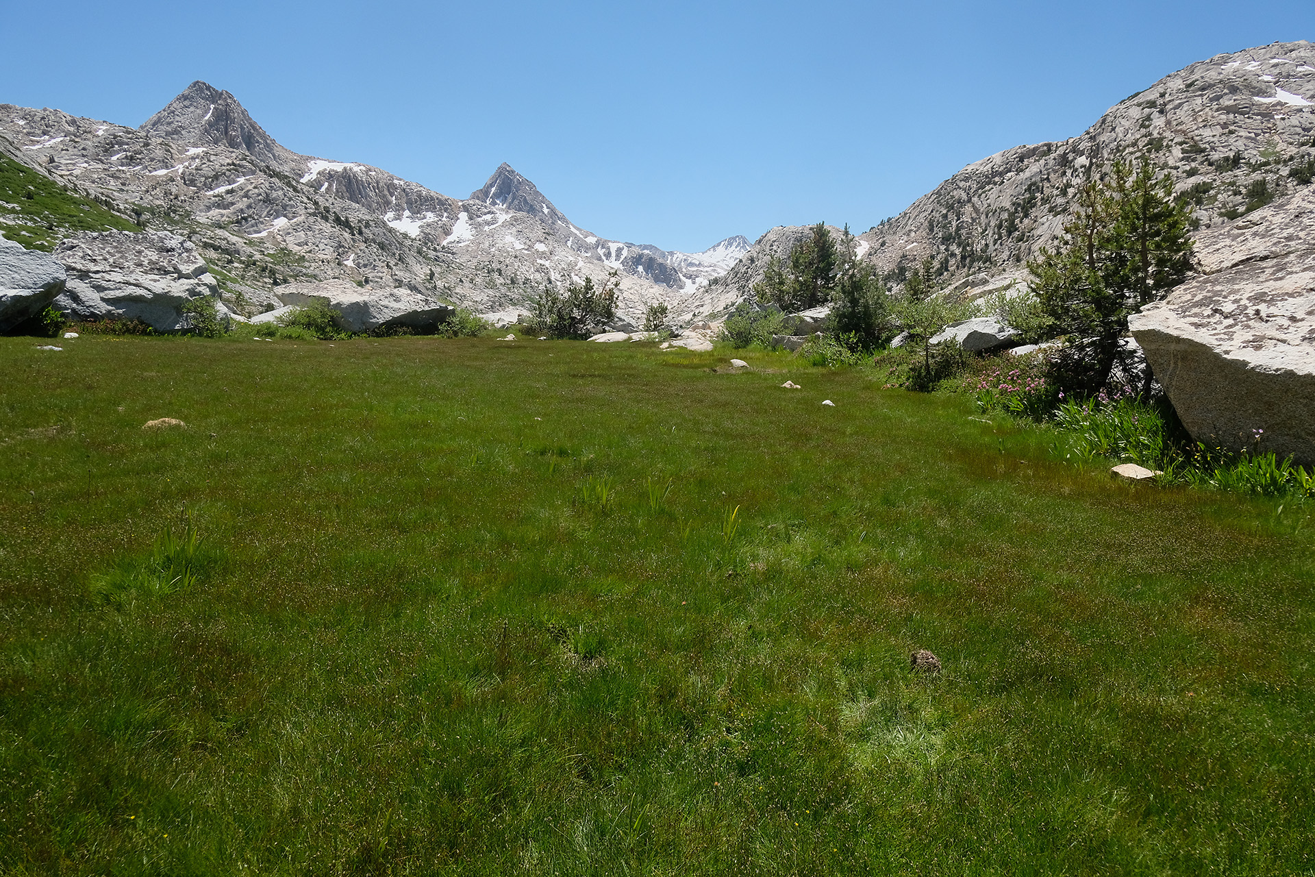
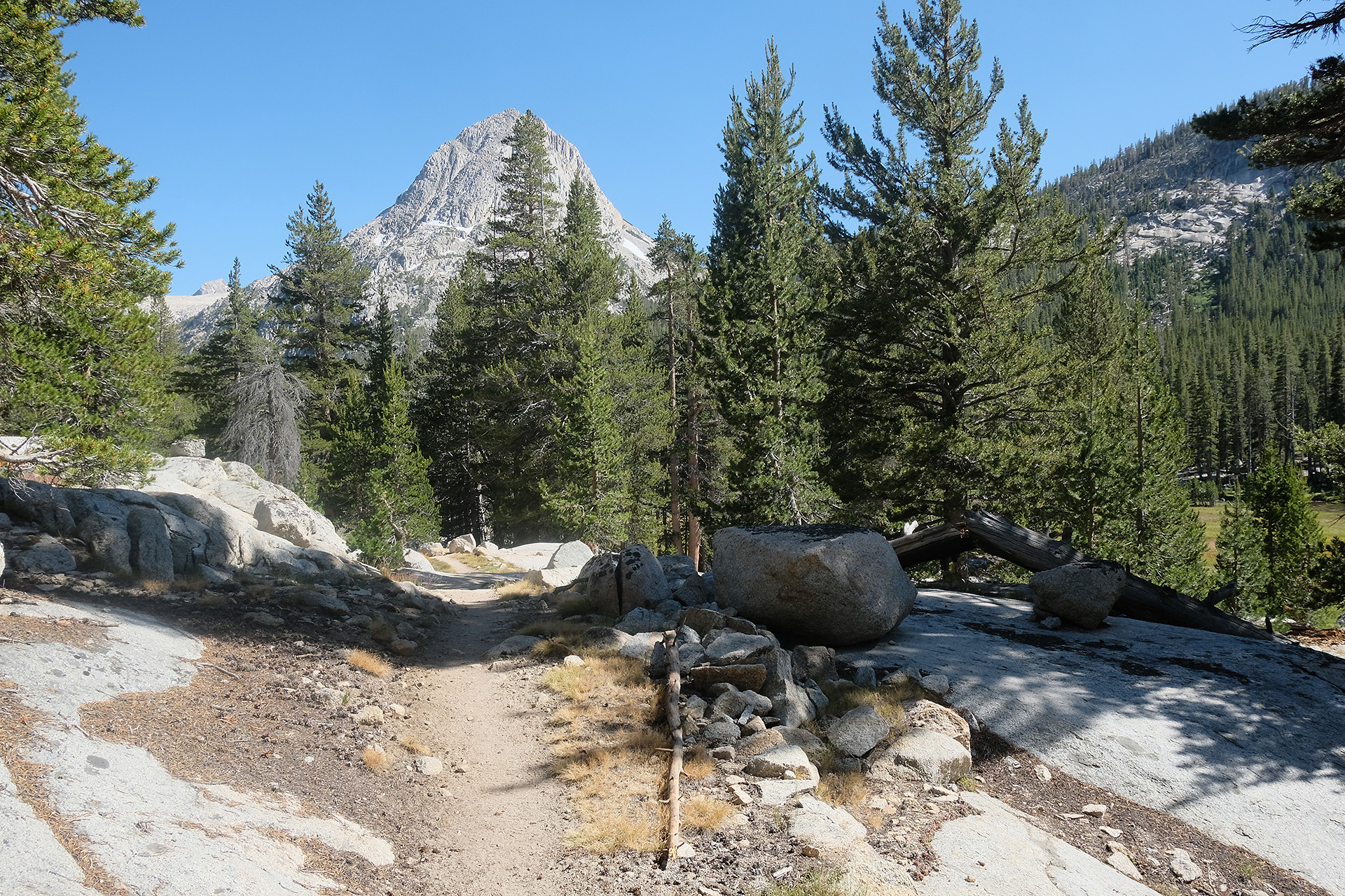
Trail above McClure Meadow
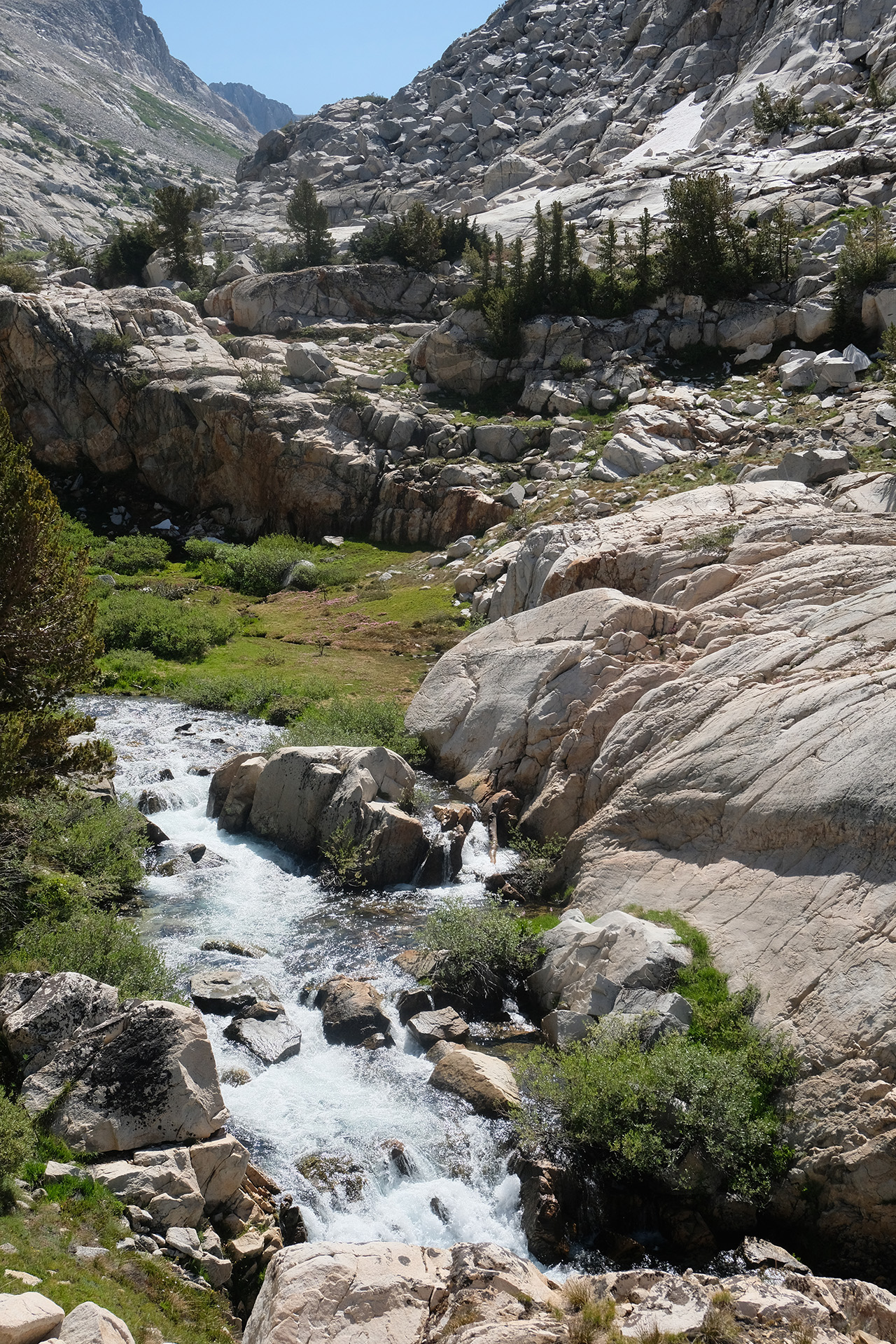
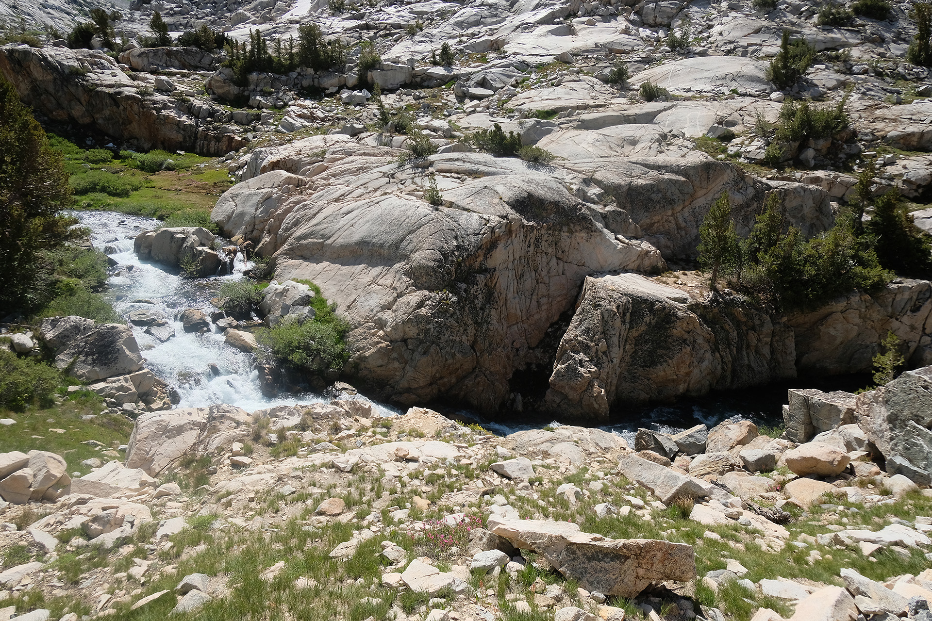
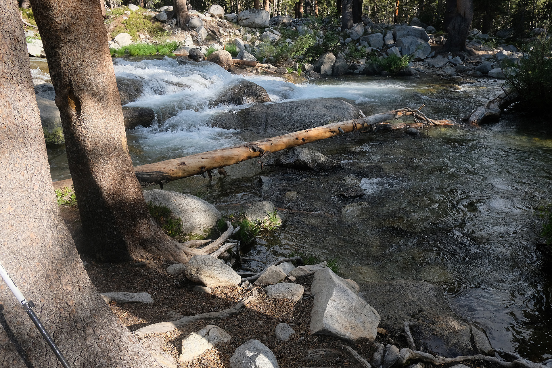
After the north end of Evolution Lake the trail bent from northbound to westbound, and soon I walked down steeply for nearly 1.000 ft descent into Evolution Valley. There I followed the trail on the north side of the valley and the creek, passing Colby Meadow and McClure Meadow.
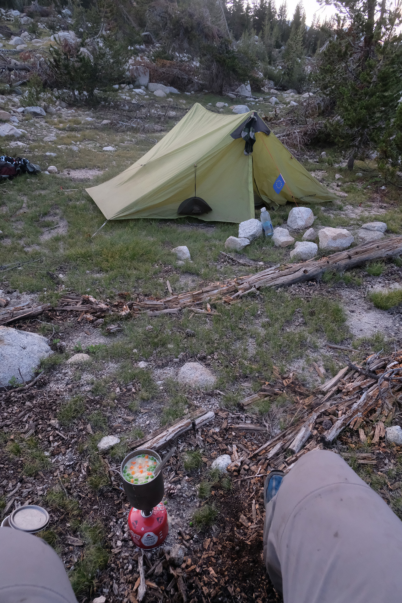
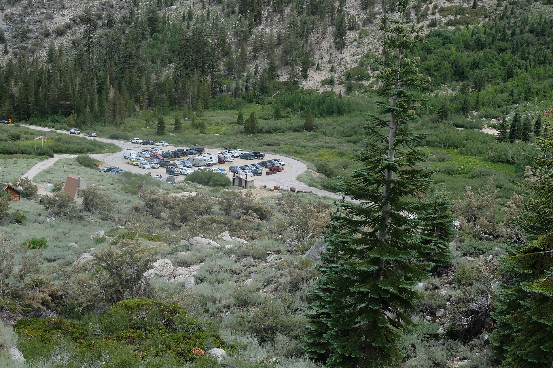
I stopped around 5:45 pm close to Evolution Meadow (9.300 ft) to set up my tent on a granite block about 100 m north of the trail, then went off once more to collect water at a creek half a mile away. I did not find out how I can easily set a waypoint on my inReach for the position of my tent which would have been helpful on return.
Tomorrow morning I will have to ford Evolution Creek.
After breakfast with another visit of yesterday’s deer I started to Muir Pass around 8:30 am. It was nearly 8 miles and I had to walk from 8.700 ft up to 12.000 ft, so it would become an afternoon pass. I had been warned that it had more snow than Pinchot and Mather.
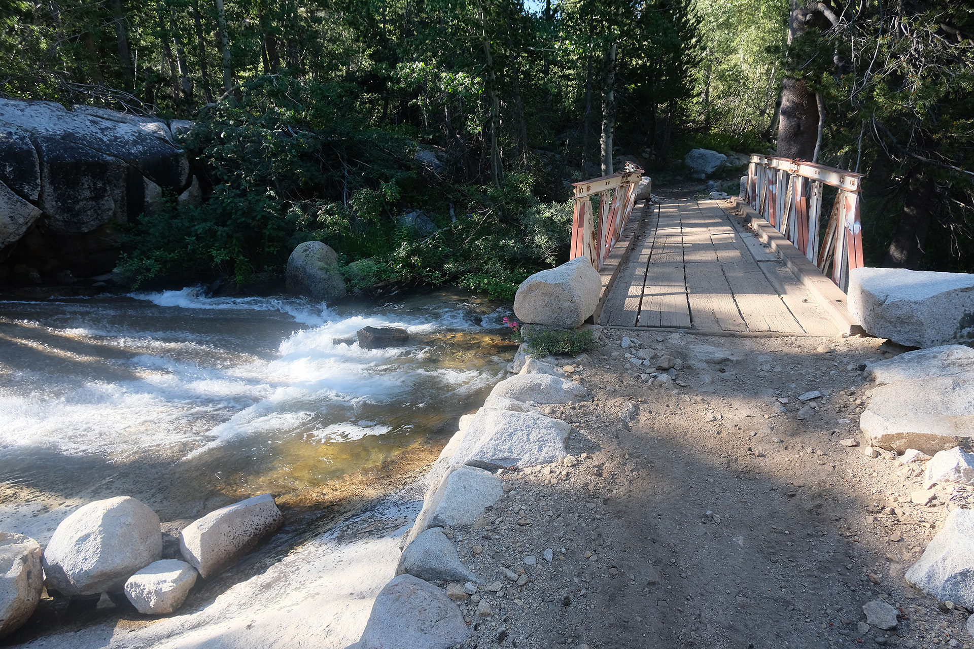
Bridge over Dusy Branch
I crossed the Dusy Branch creek by a footbridge and was taking a photo of the bridge when two other hikers draw my attention talking about a bear. And indeed, there it was, maybe 150 ft away, looking to us out of the bushes. I had the camera in my hand and the bag open, so I grabbed the tele lens and replaced the wide angle zoom within a few seconds. But when the camera was ready the bear had dissappeared! – so again no photo, but at least I had seen it from head to tail this time.
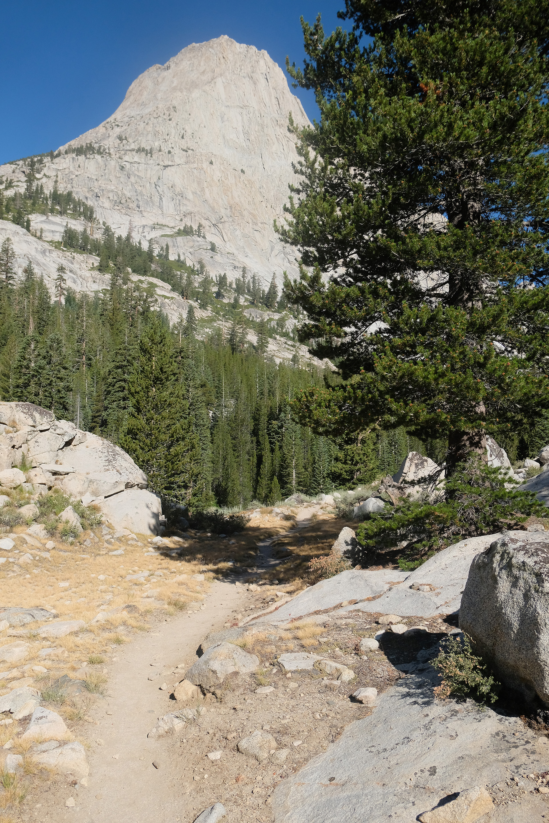
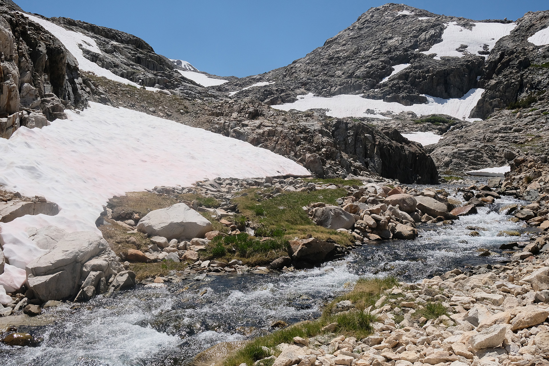
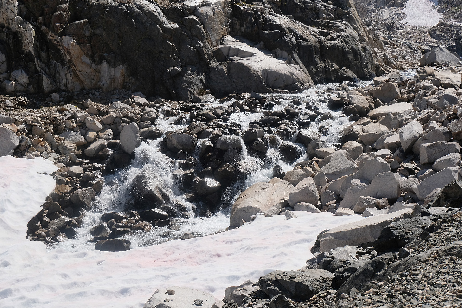
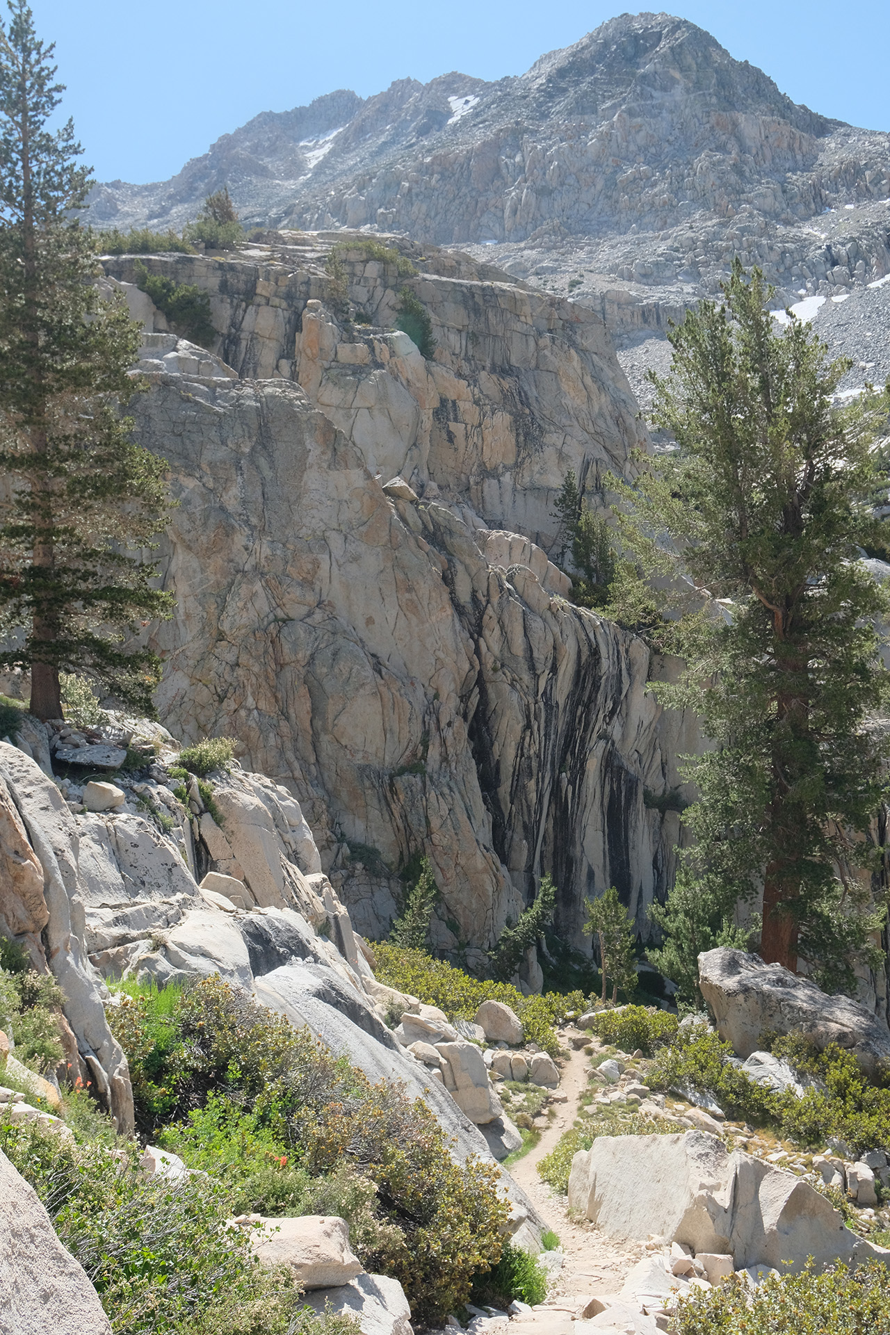
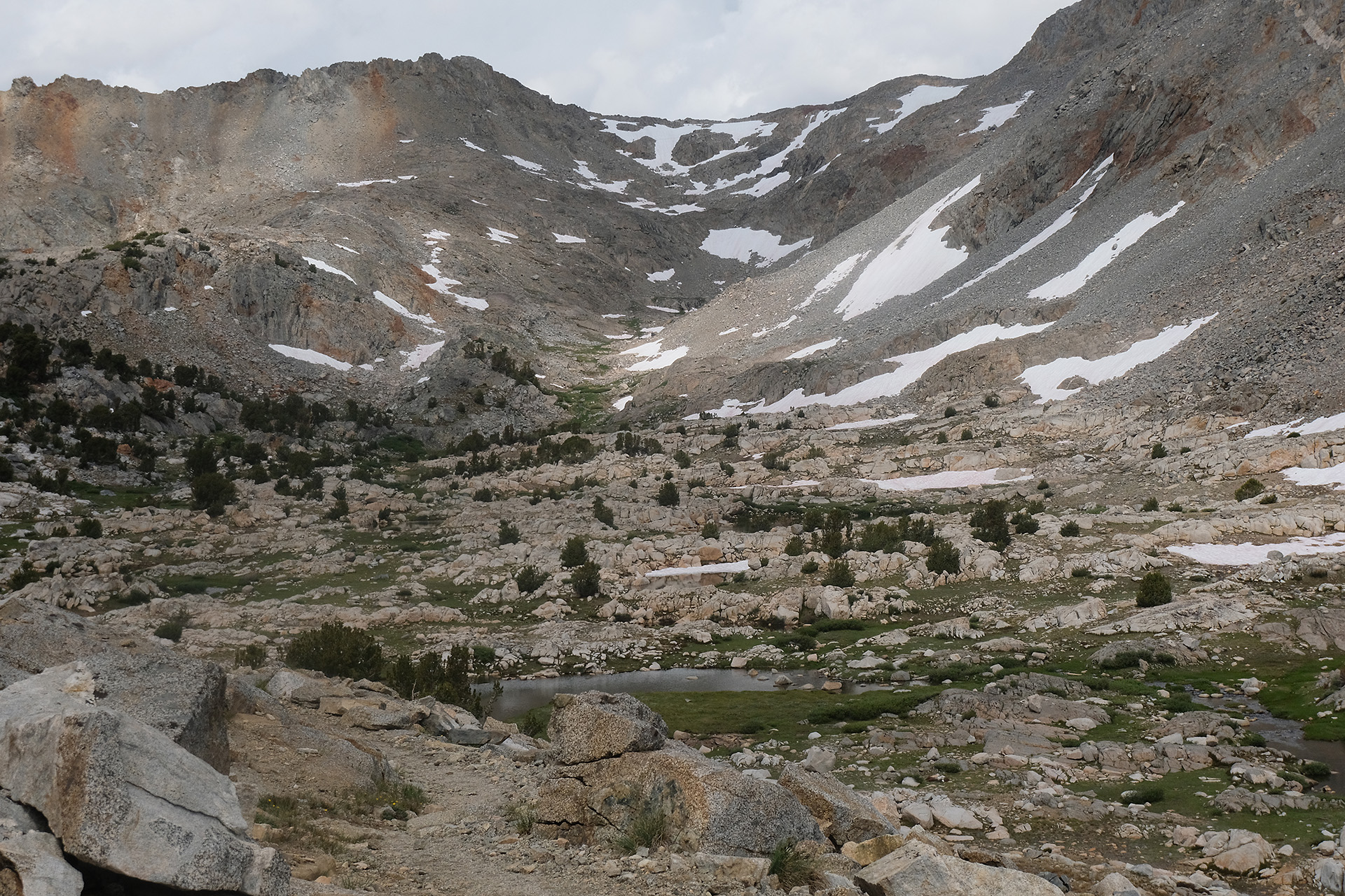
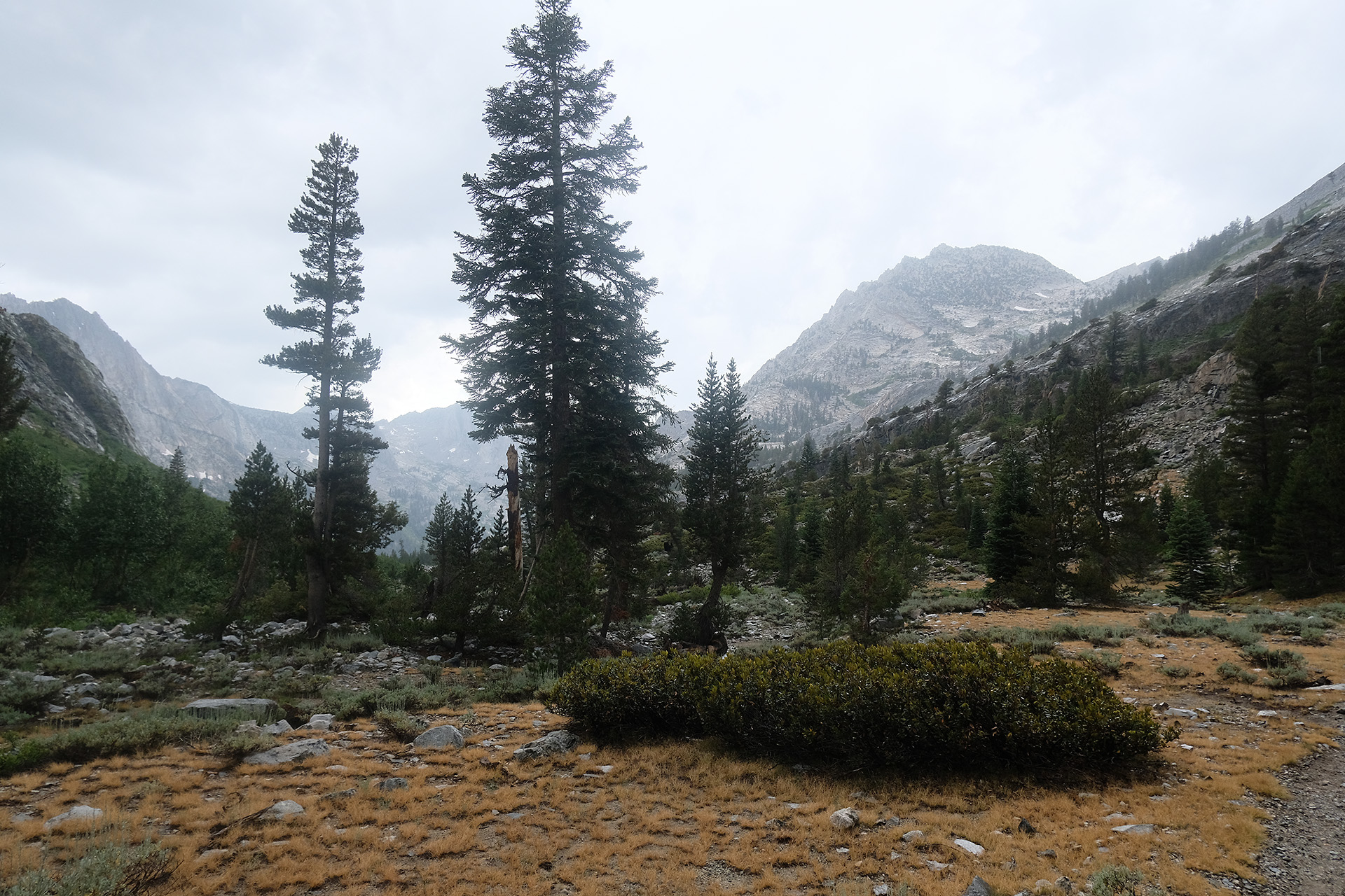
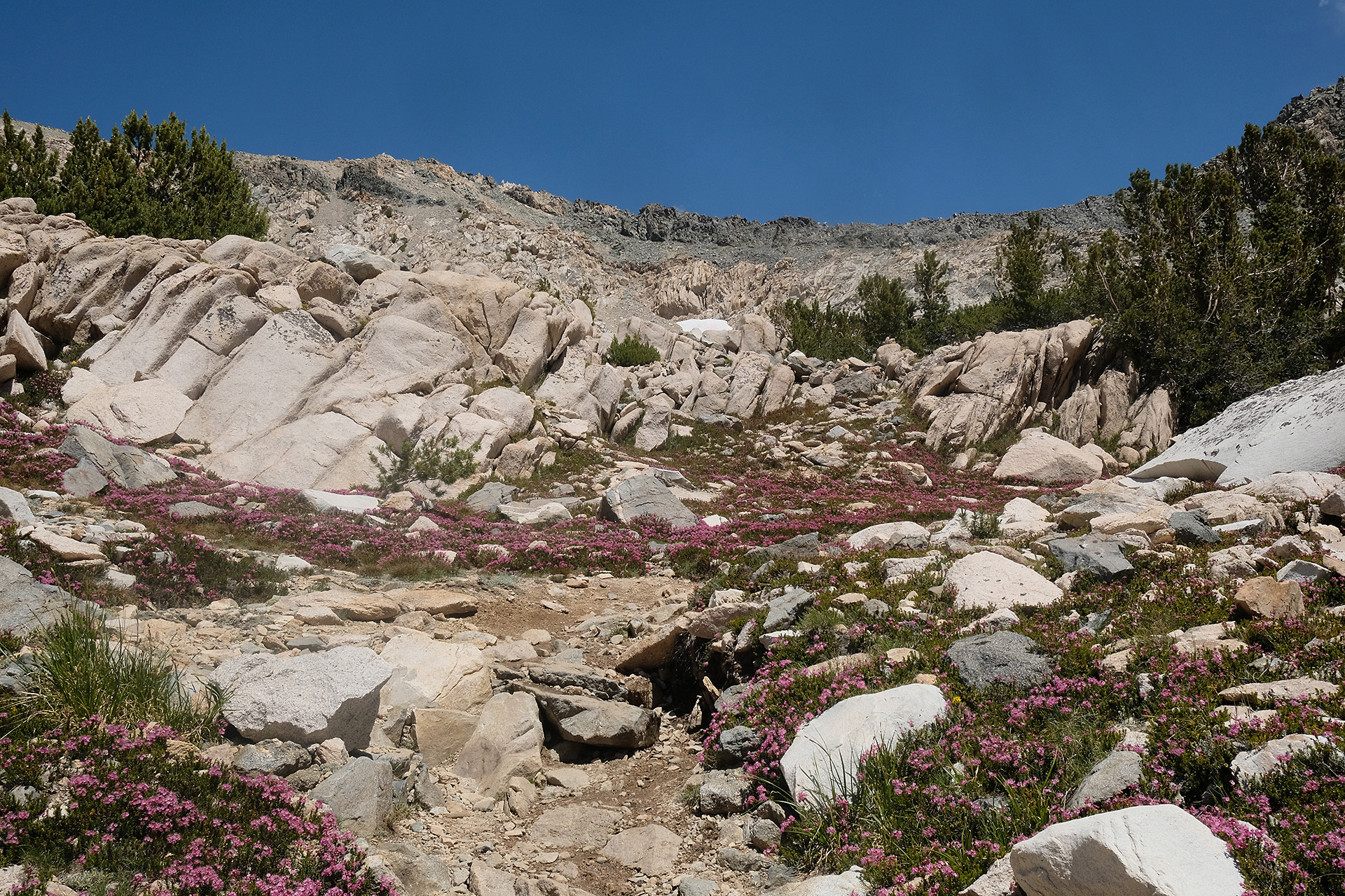
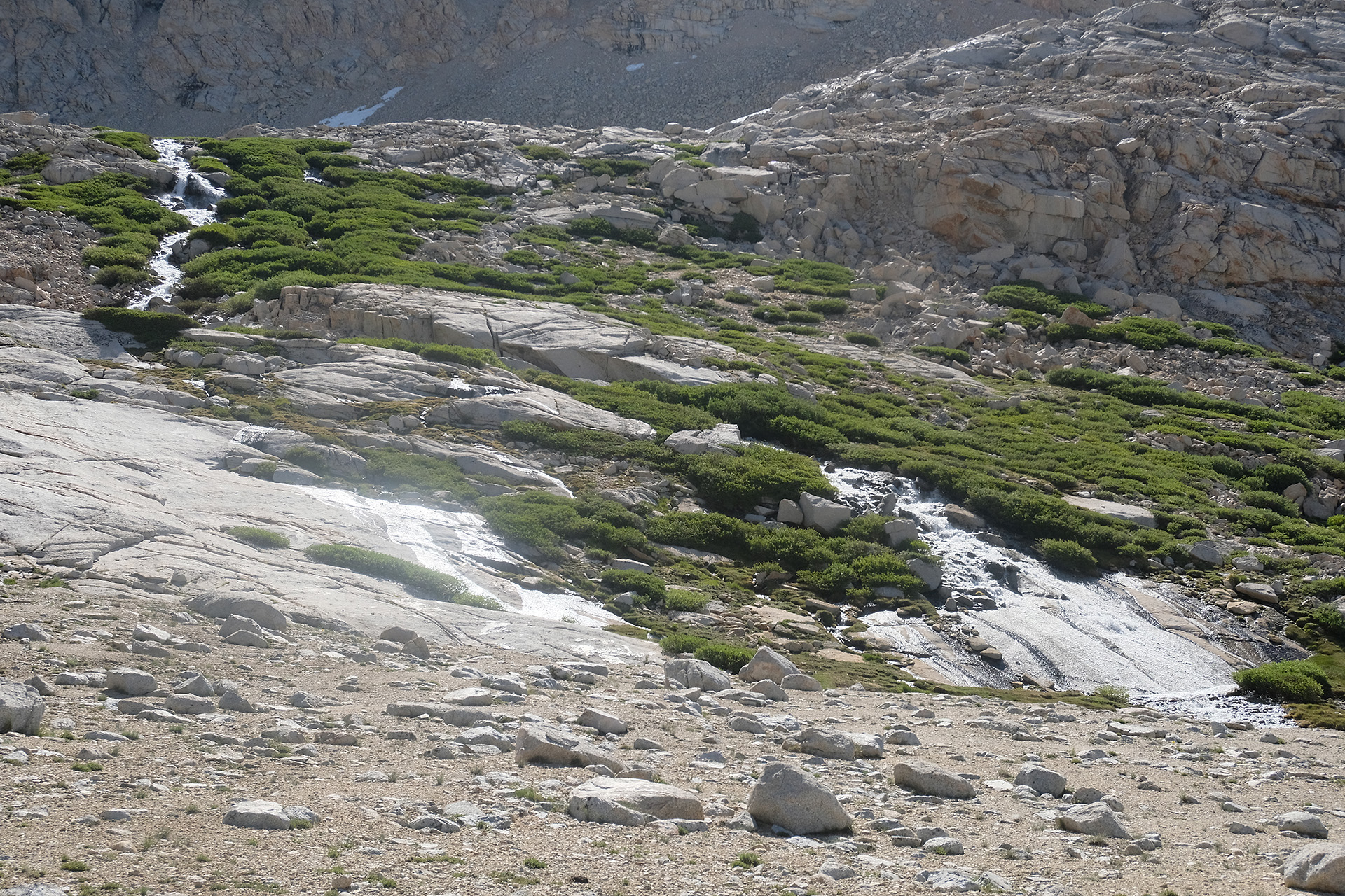
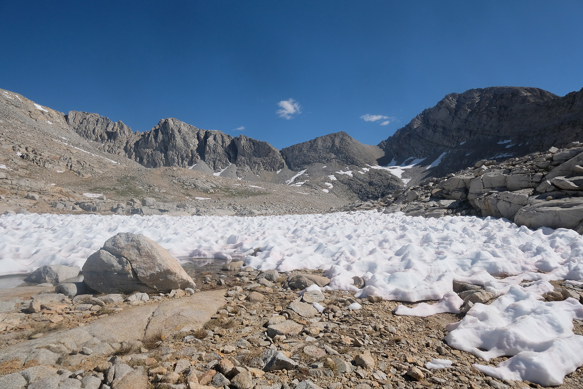
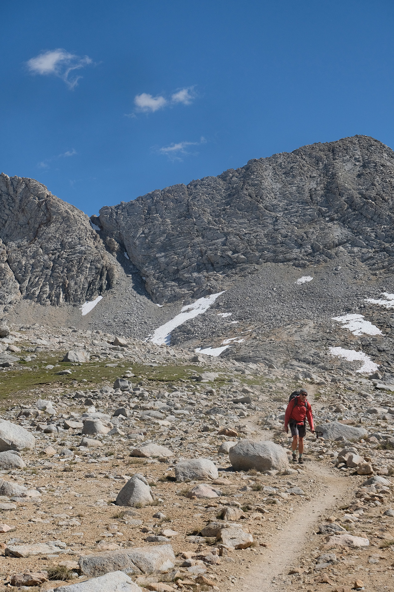
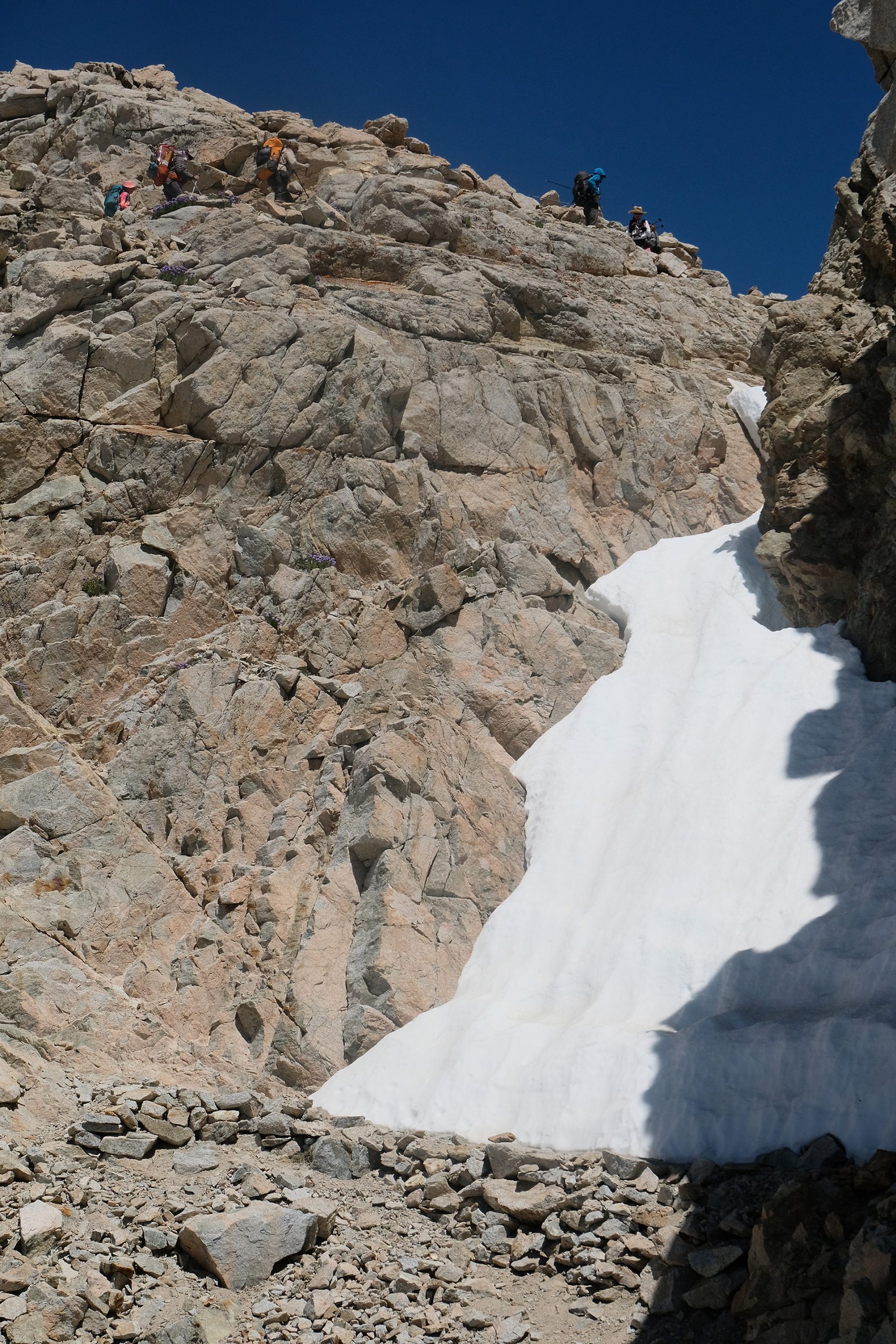
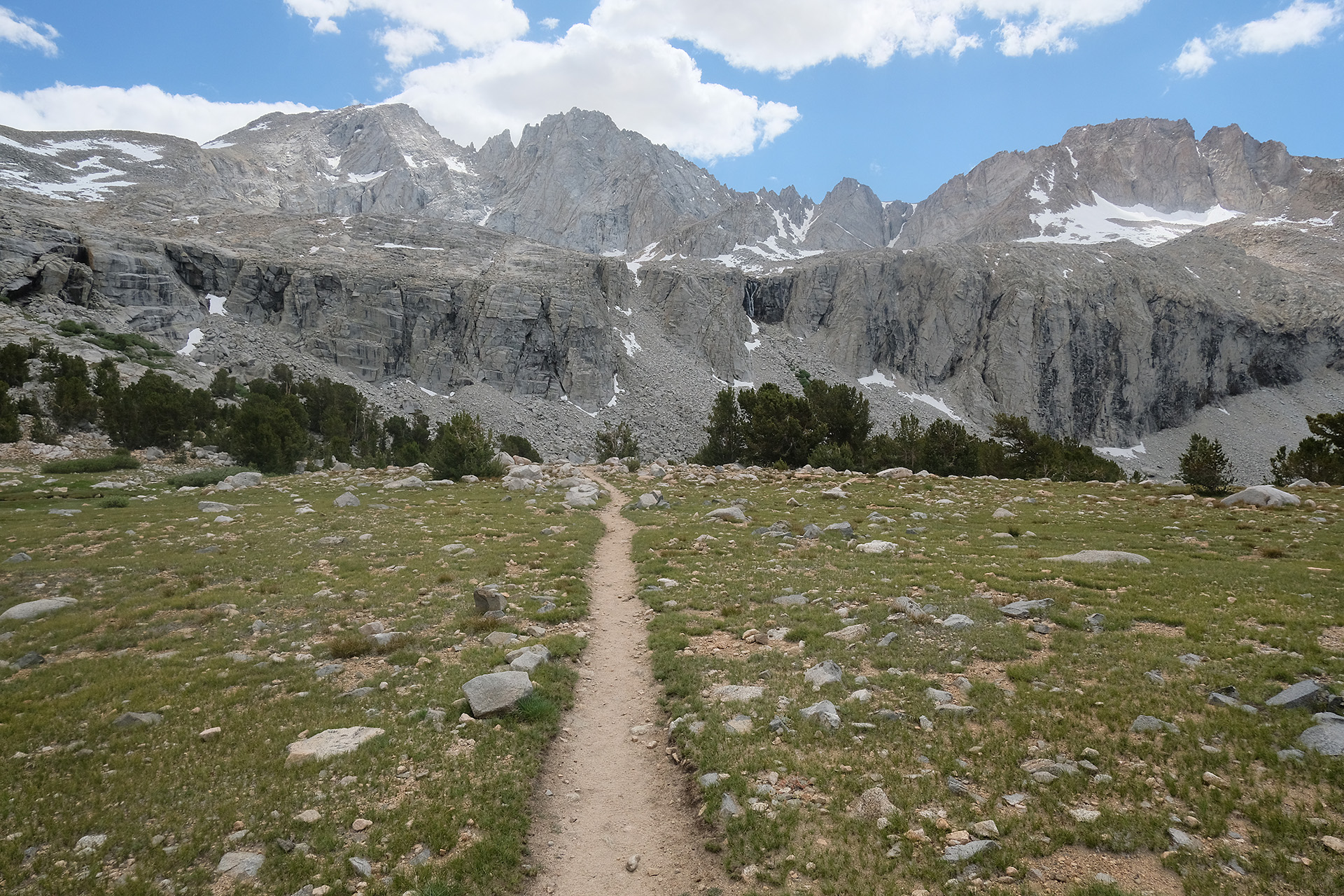
The trail went uphill for a long time but without steep stretches, and the landscape changed from forest over meadows with flowers (Big Pete Meadow 9.500 ft) into a more alpine terrain after Starr Camp (10.300 ft). Water, rocks and snow made it sometimes difficult to walk, when the trail was covered by snow directly aside of a torrent. So I needed even more time than expected.
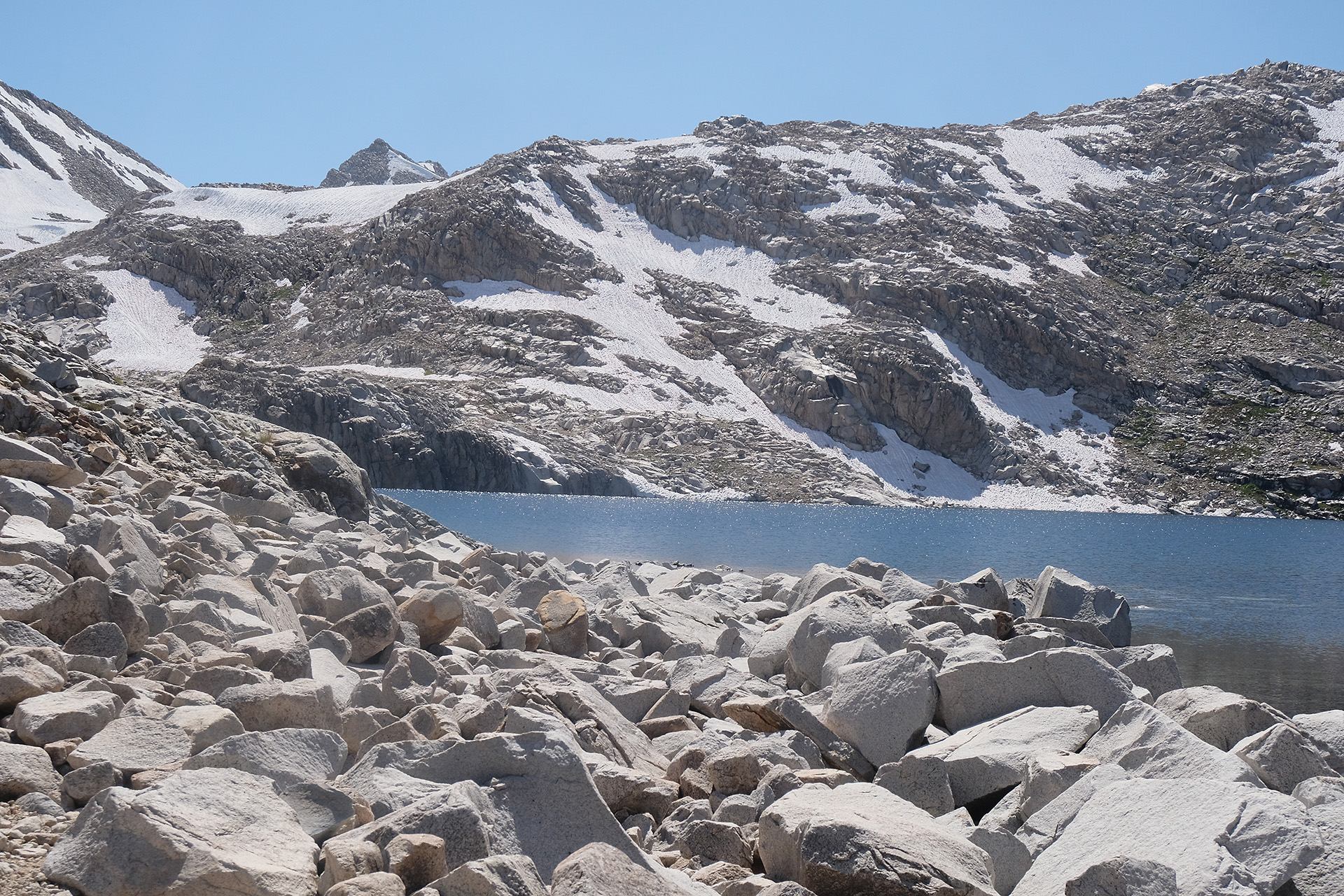
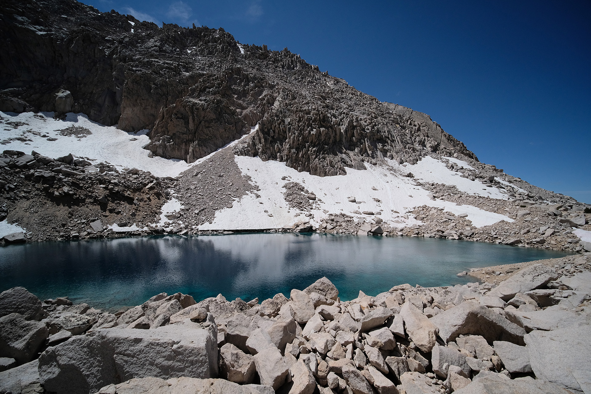
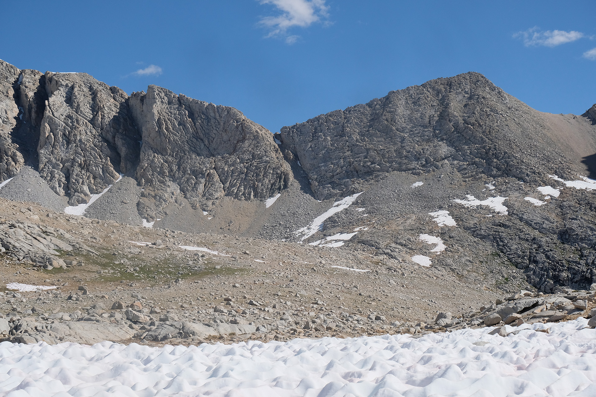
Helen Lake (11.600 ft) is often used as a campsite by southbound hikers after they passed over Muir Pass; but it still was icy, the smoother part of the shore covered with snow. After Helen Lake the trail also got covered by snow more and more. The “south” side of the pass is in fact the east, if not northeast side, and thus has more snow left than at the other passes of similar height.
Helen Lake
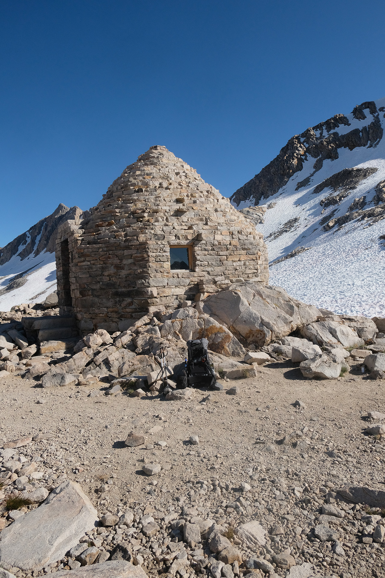
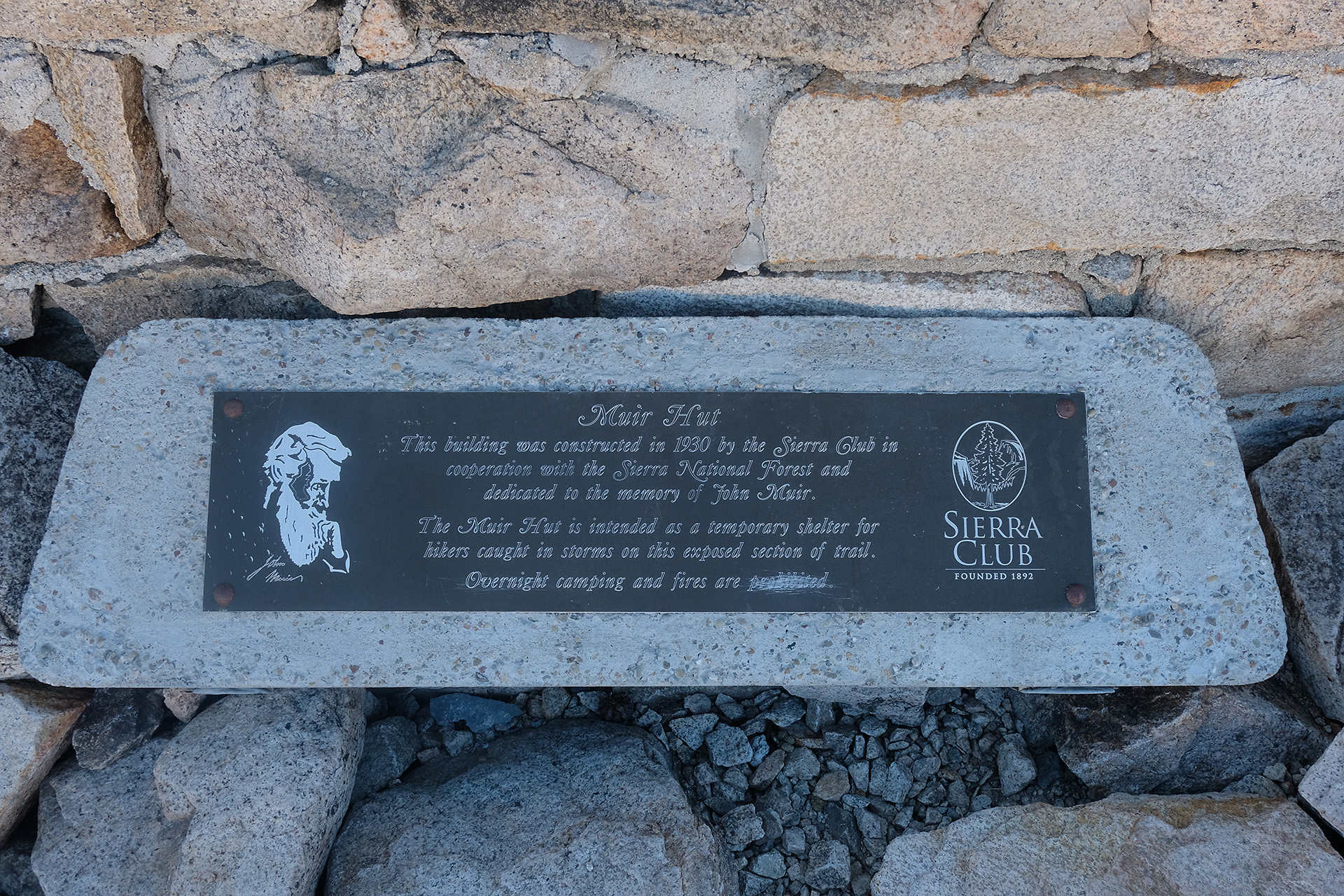
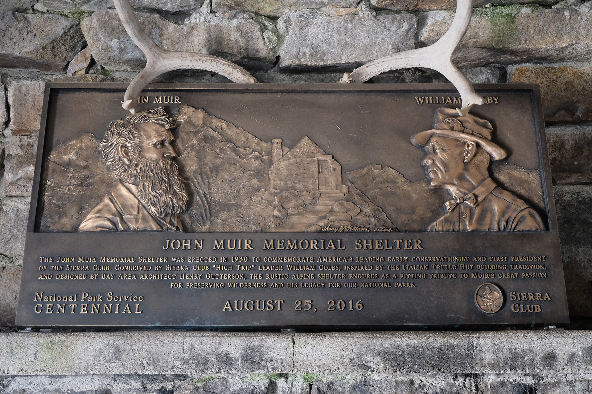
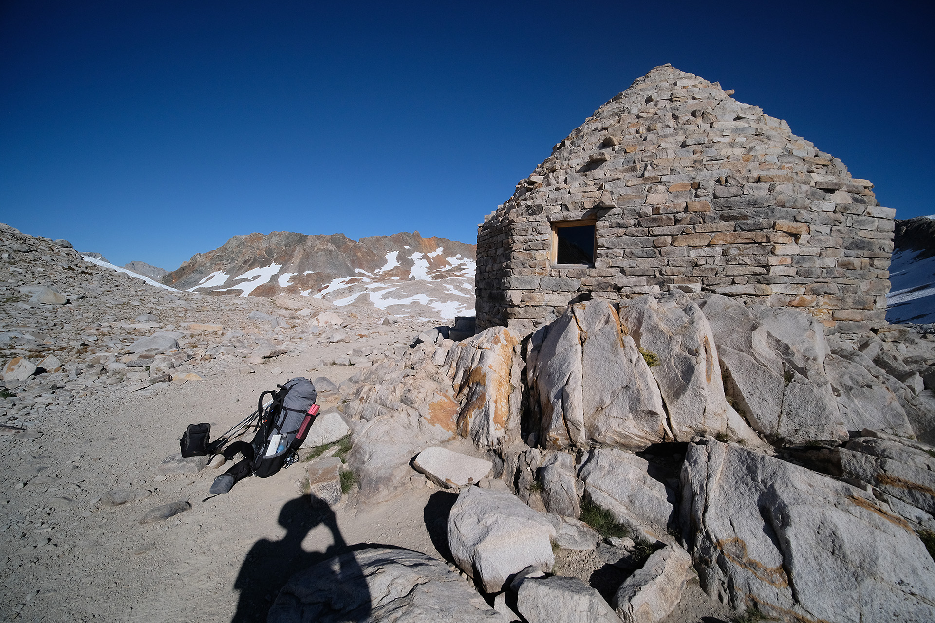
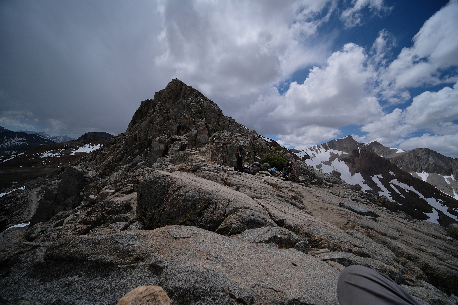
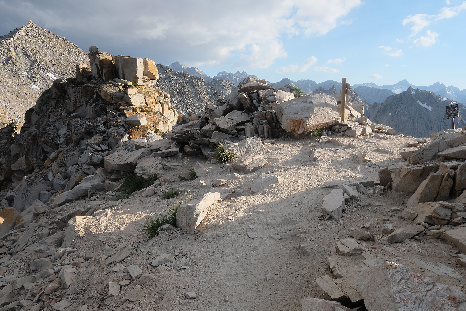
It seemed that the uphill trail will never end – I knew the pass is easy to recognize through its stone hut but could spot nothing like a hut, and it was already close to 5 pm. At least I had found a possible tent site, in case of. But after a snow field which had to be walked “direttissima” along a deep trace I finally reached the crest. The photo above is shot less than 300 ft from Muir hut, but I could not yet see it from there.
The final approach to the pass
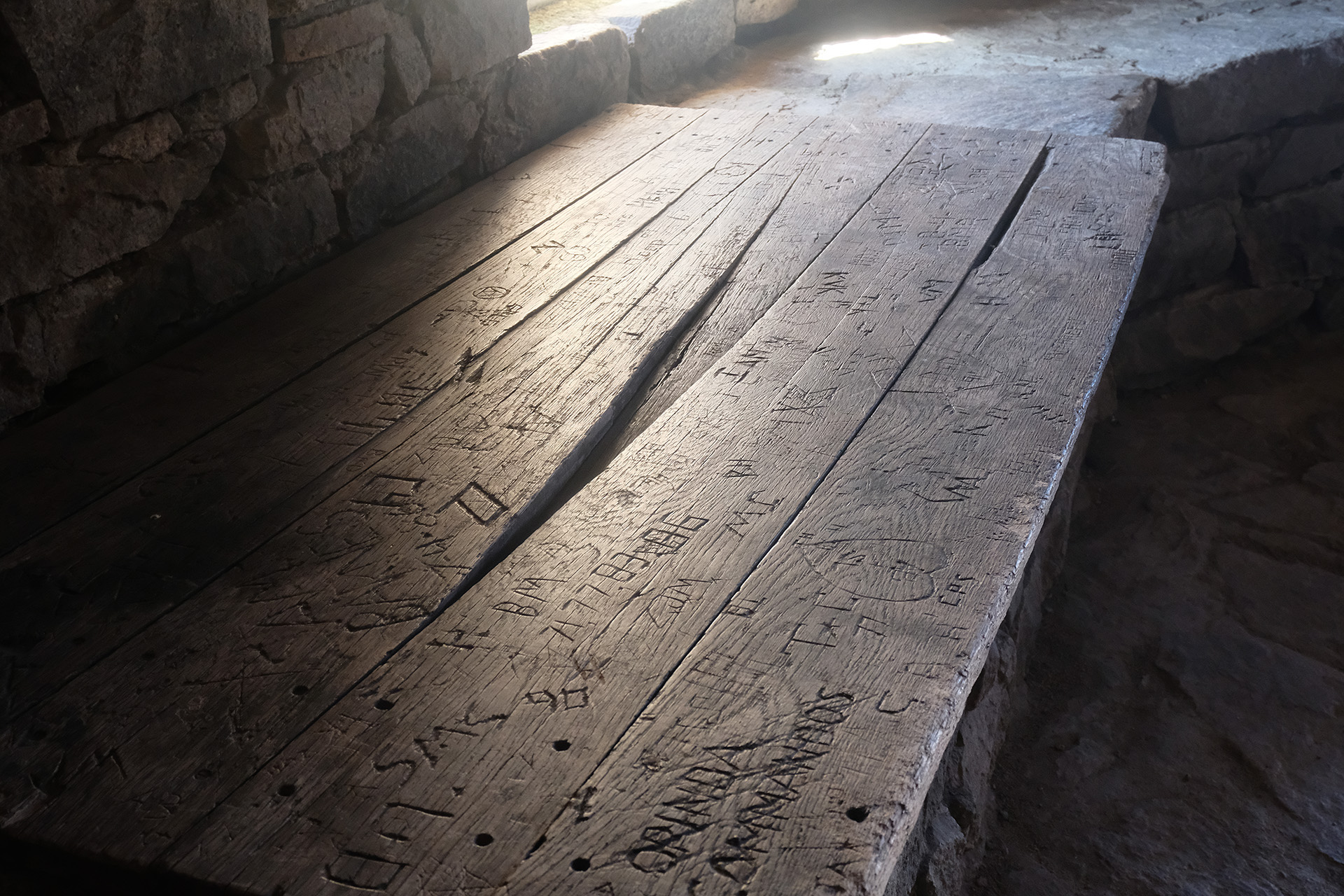
Muir hut on top of the pass, with my pack and poles
I was completely alone up there at this late hour, and used a bit of my time to look around.
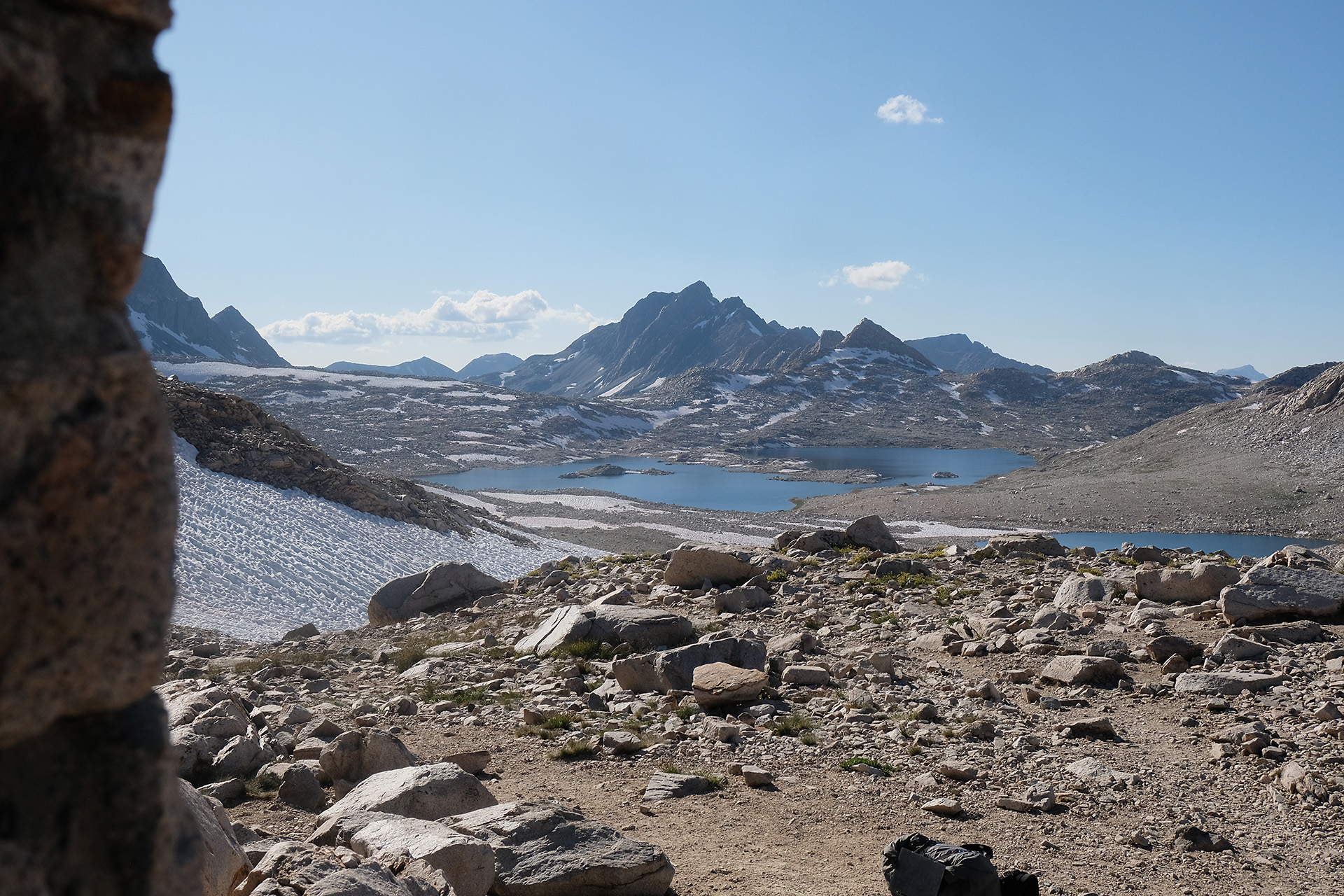
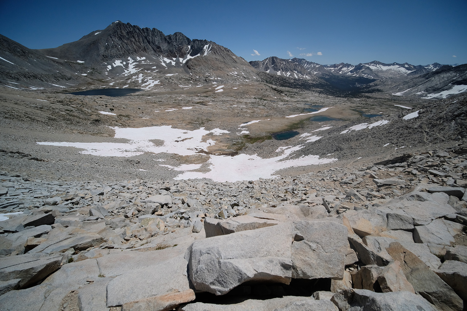
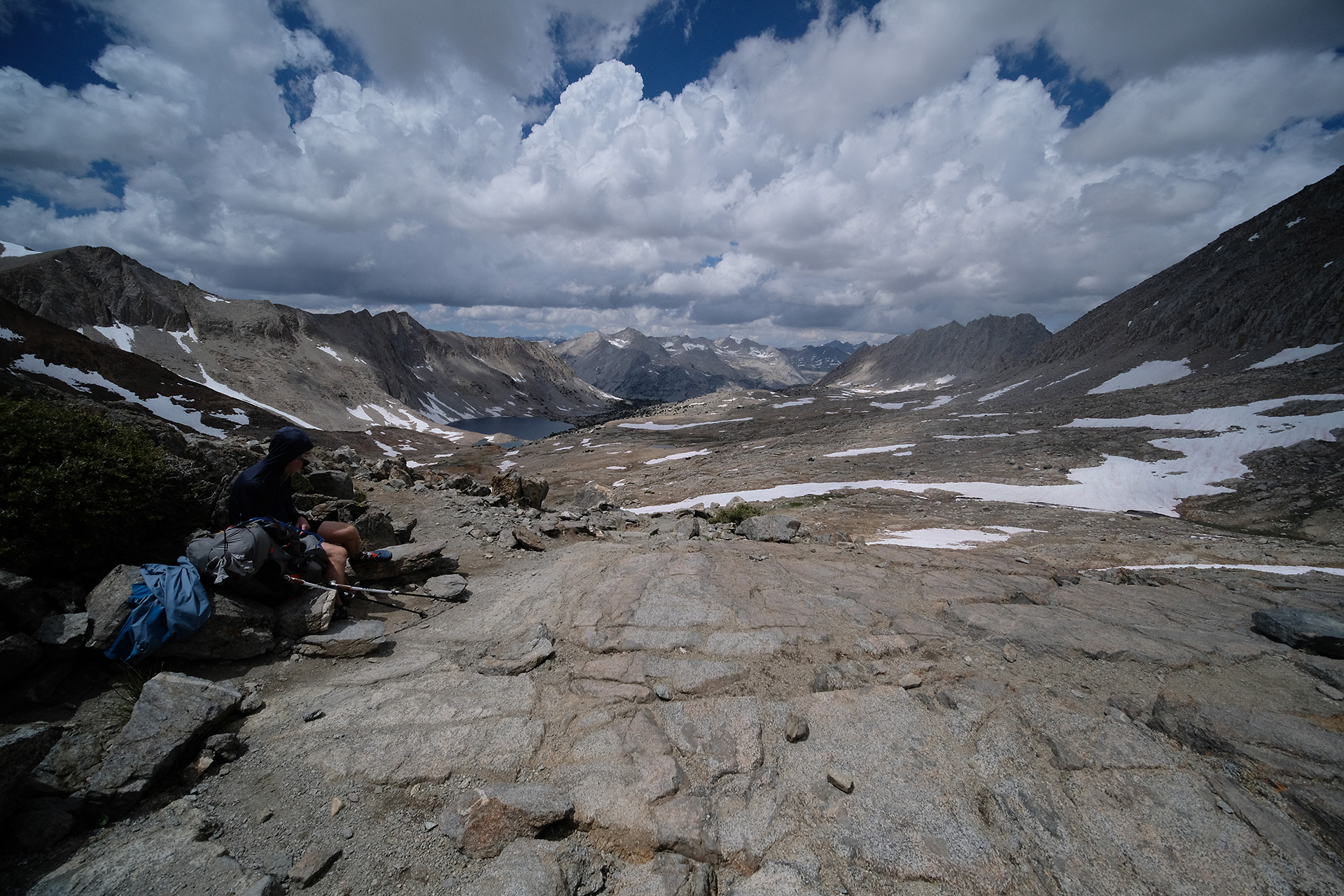
After 20 minutes I started the downhill walk, in order to reach a campsite. The “north” side of the pass – in fact, the west side – had less snow, and Wanda Lake looked quite nice to camp there, though some snow left.
Right: Lake McDermand; left: Wanda Lake
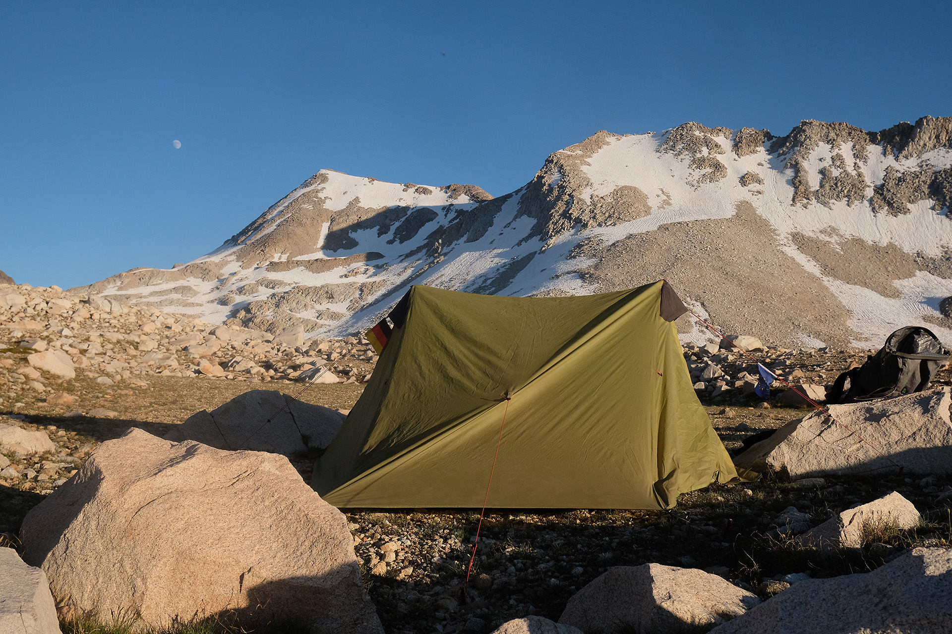
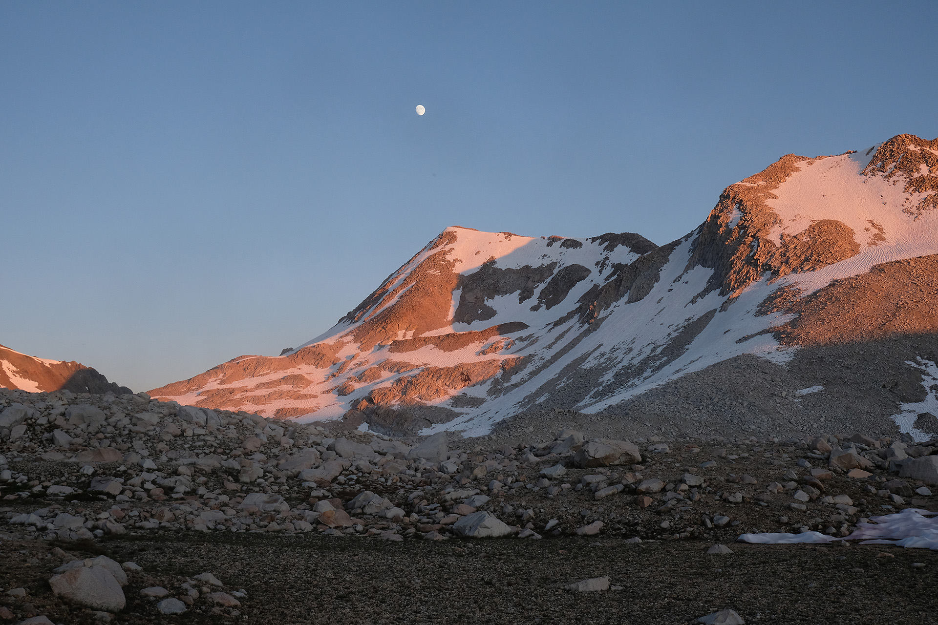
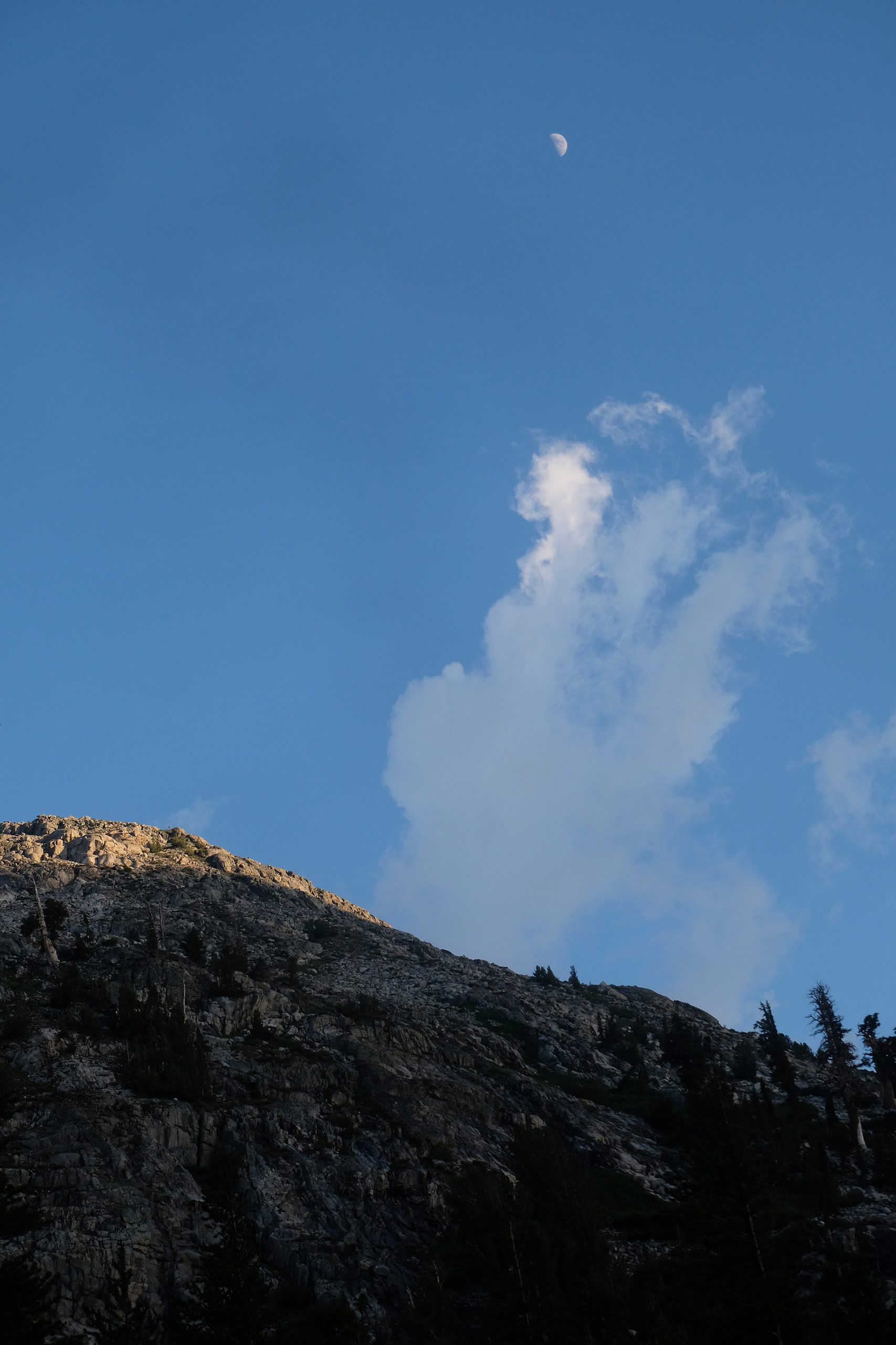
I needed more than one hour to reach the lake shore, and set up my tent there in complete solitude, at 11.400 ft. Blue sky with the rising moon and “alpen glow” on the mountains ended this beautiful but tough day.
Another morning with blue sky, and another late start. I walked along the Palisade Lakes (10.800 ft) to the Golden Staircase – a steep series of switchbacks going down to 9.300 ft. It wasn’t golden at all as it was morning, and no afternoon sun coloured the Palisade Creek’s cascades. I was on the easier end, walking down, but the hikers who came up from the valley did not look happy, and asked me how far it still was. Temperature was quite high, too hot for a comfortable uphill hike.
Lower Palisade Lake
Palisade Creek
The Golden Staircase begins
View into Deer Meadow
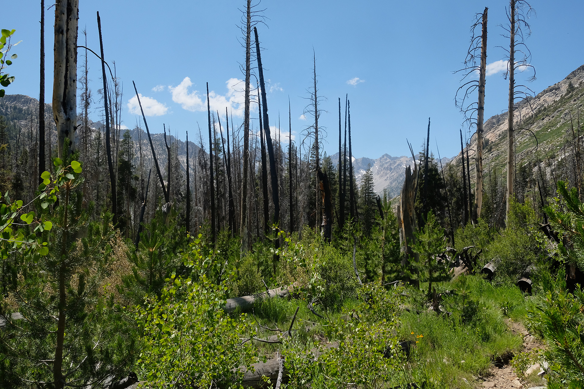
12:30 am I was at its bottom and entered Deer Meadow, westward along Palisade Creek. An hour later I crossed a sequence of tributaries, among them Glacier Creek. A short stretch with dead trees showed the impact of a past wildfire. The trail went down more and more, until it led into the Le Conte Canyon at 7.800 ft where it bends to north and follows the canyon and the Middle Fork Kings River.
Creek crossing
A wildfire burn area
Middle Fork Kings River
Grouse Meadows in Le Conte Canyon
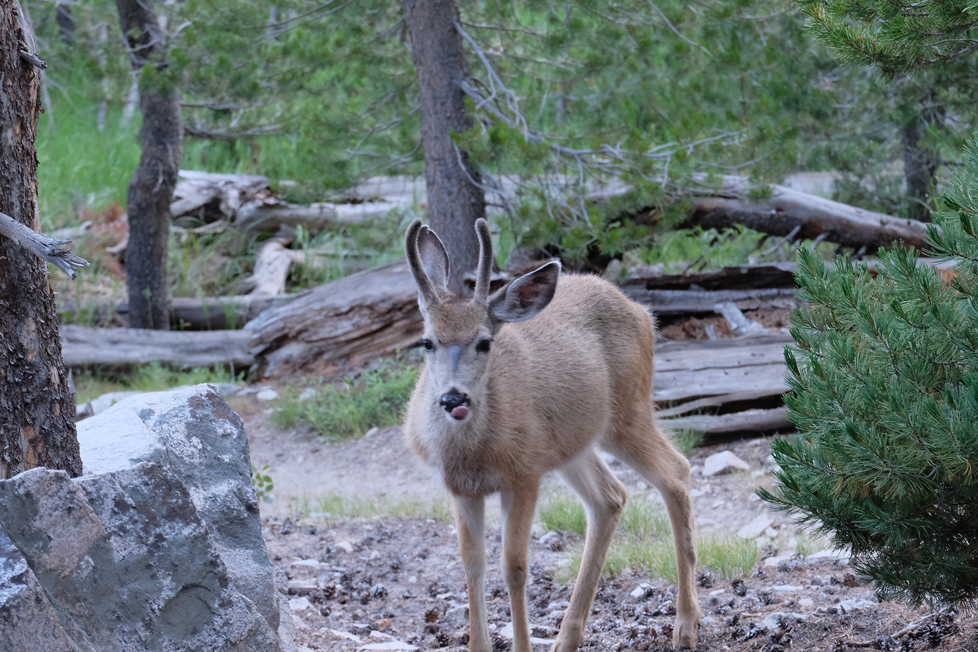
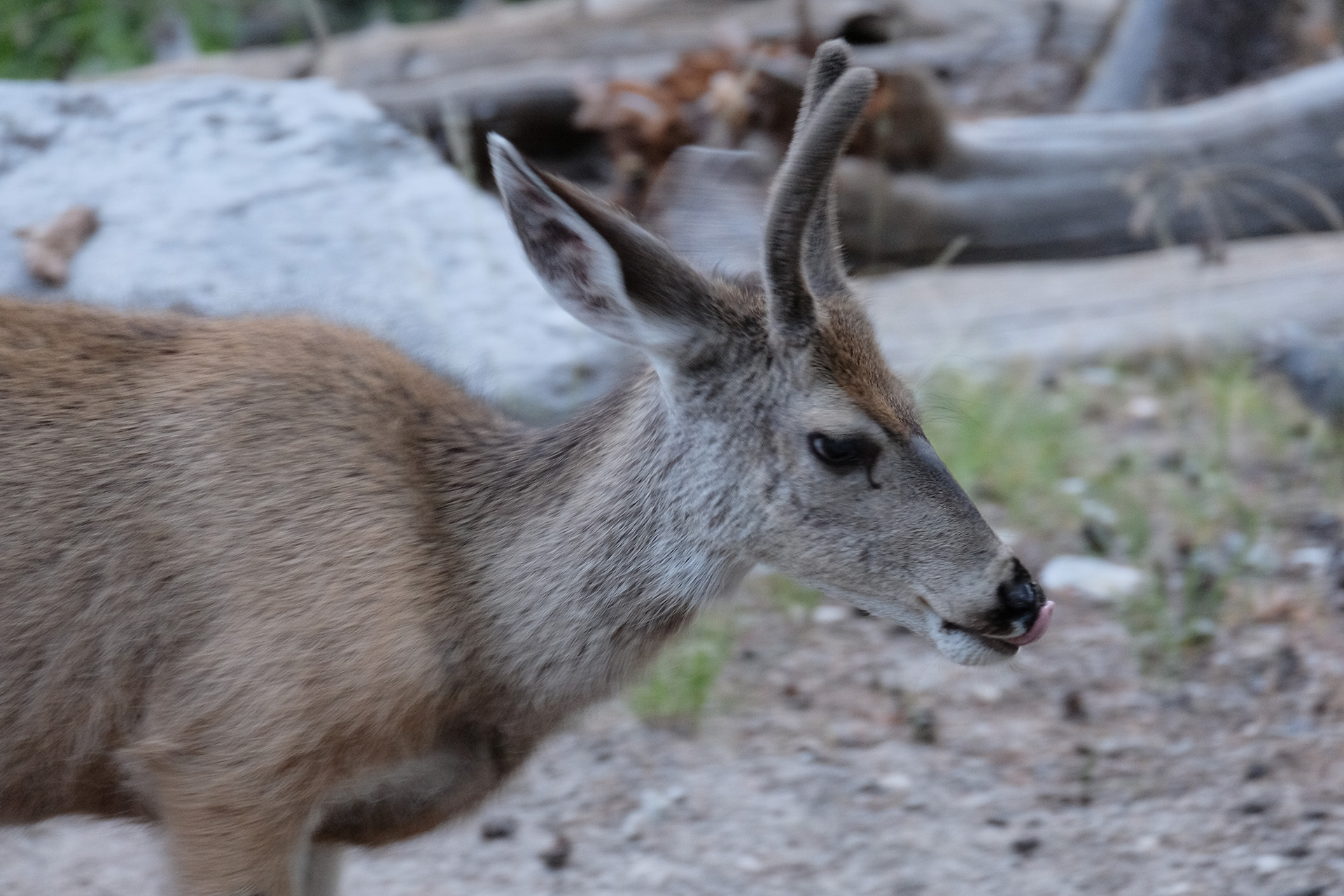
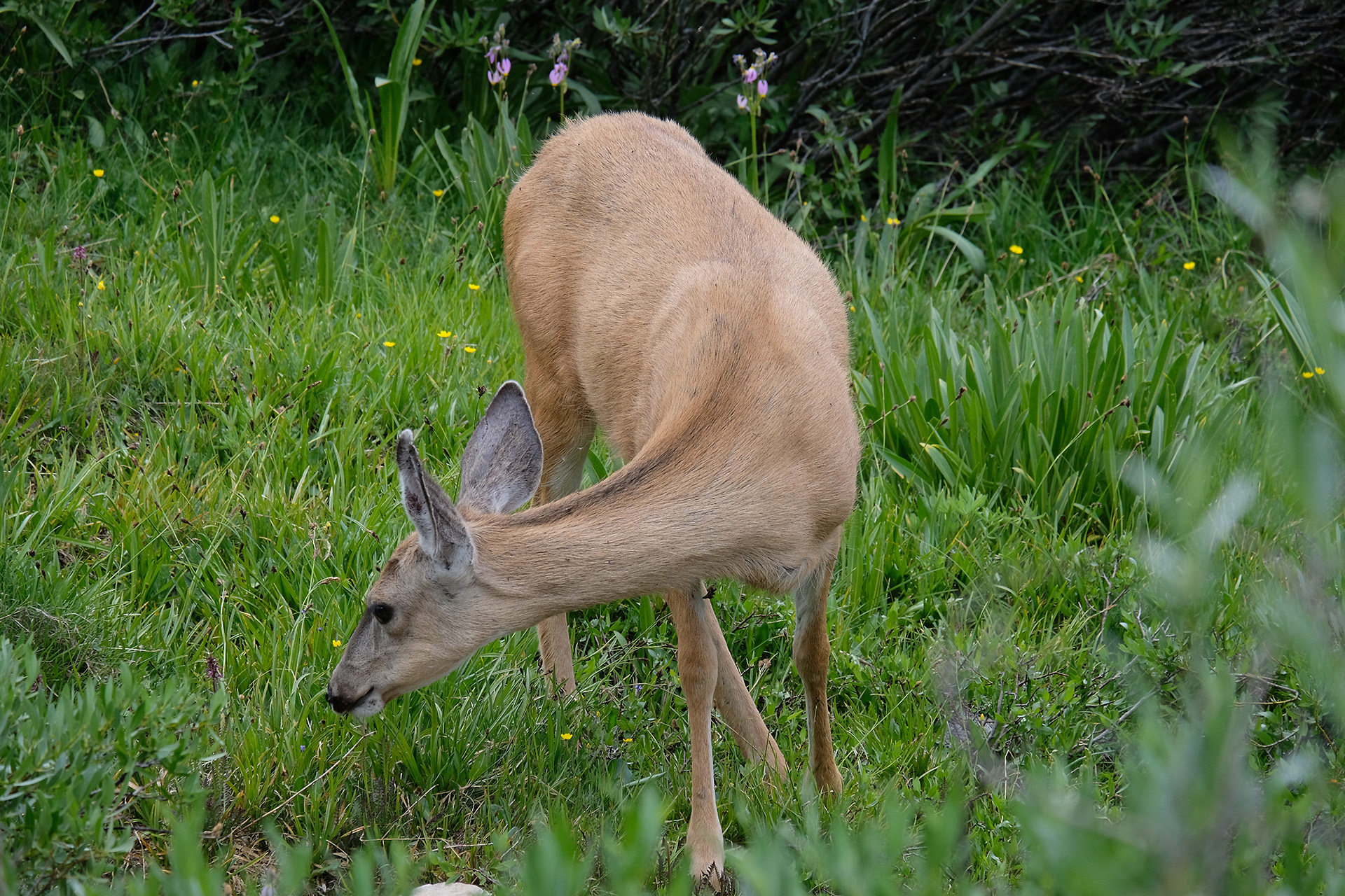
It was a bit after 6:30 pm when I stopped at a campsite with several tents close to the ranger station (8.700 ft). This place is well known for a deer who is not shy at all and visits and inspects the campsite often. It seems to search for salt as I was warned that it may chew and destroy the straps of trekking poles during the night. OK, no problem for me; my poles are part of my tent setup, and so protected inside.
Who is lurking around the tree?
And in fact, the deer came along in the evening, and again next morning.
After a dinner I did my evening routine which includes recharging first the Garmin inReach, then the smartphone out of the power bank, which in turn had been charged from the solar panel on the backpack during the day; during this time I read and wrote SMS via inReach, made at least a short report for those who follow my progress, and had a look on Guthook JMT and in the National Geographic Paper Map for the trail tomorrow.
In the morning it was unusually cold. Both on the tent and on the bear can was some ice, and the shoelaces of my trailrunners, which I had left outside, were frozen to the eyelets. But when the sun came out the air got warm quickly.
Some ice on the bear can
It was again around 9 am until I finally went off the camp site. Blue sky with no clouds, and quite easy walking though 1.800 ft uphill. The south side of the pass was again nearly free of snow on the trail.
At 11.100 ft – still 1.000 ft uphill
Around 1 pm I was on top of the pass. This time I could have my lunch there, and continued after some rest.
Mather Pass: view to the south
Mather Pass: view to the north
Soon after the pass there was a slanted snow patch at about 35°, maybe 100-150 ft long. I saw a backpack lying on the rocks on my side.
Dangerous without trekking poles
I soon found out why: a couple was crossing this snow patch on their way southbound, and the dude had first carried over his own pack, left it on the south side and returned to carry the pack of his girl friend on the second tour. They both had neither traction aids nor trekking poles. In the above photo the terrain looks nearly flat but it was not, you have to lean your head to the right for a more precise picture. I felt quite uneasy for them, and one could see that the girl was happy when she reached the safety of the rocks.
I crossed the patch after them without my crampons, but carefully put the downhill trekking pole aside of my downhill foot as an extra safety measure. The boot track was good, the snow was slushy but still solid enough, so it worked well and safe.
Coming down from the pass (on the right) one has to cross the slanted snow patch up there
A close-up
Here you can see this same patch from below.
It seems to be somewhere here where less than 3 weeks later, in the morning of August 26 another hiker, Wayne Pferdehirt, slipped and slided down on the icy surface. He hit one of the rocks below with his head and died immediately.
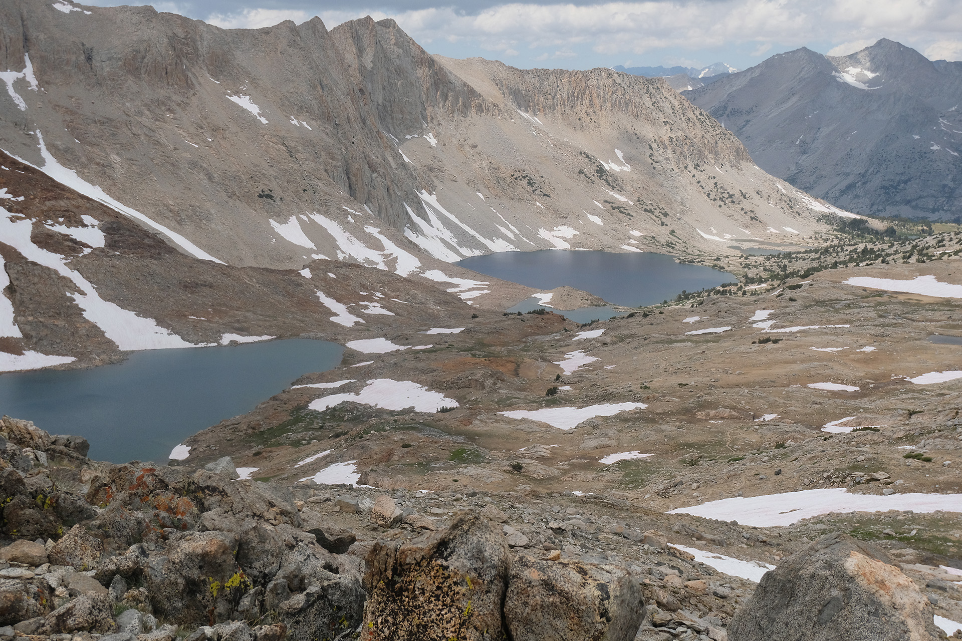
Upper Palisade Lake
I continued down on the north side until I hit the Palisade Lakes around 4:30 pm. There I set up my tent at 10.800 ft on a granite block, washed some clothes in the nearby creek and used the sunlight to fully recharge my power bank and camera batteries. 3 passes done, one still left: Muir Pass, which is something like the halfway point of the JMT.
Another late start around 9 am. I needed quite some time for the morning routine, and often the sun reaches the tent site in a valley only at 8 am.
The pass is 4.5 miles away, with 2.300 ft elevation to go. I passed the Sawmill Pass trail and continued uphill for 3 hours. Around 11 am it started to rain so I stopped and fetched my rain jacket. When I had put it on the rain ceased again. So back to T shirt. And though the sky stayed dark and cloudy there was no more rain. In fact, these were the last rain drops during the whole hike!
South of Twin Lakes
Pinchot Pass
There was only few snow left on the trail on both sides of the pass, and no danger at all. The pass itself at 12.050 ft is not sensational, but has a decent views to both sides. Dark clouds everywhere, and we also heard thunder from a distance.
On top of Pinchot Pass
View to the south
View to the north
So I did not make a long lunch break but walked down after a few minutes. On the next miles I passed several, mostly unnamed lakes.
Lake Marjorie
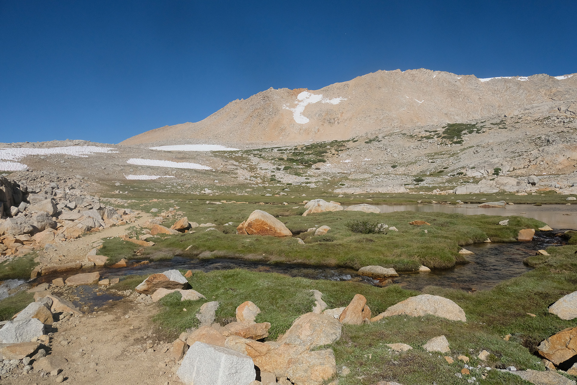
From Pinchot Pass to Mather Pass it is just 10 miles. But you must walk down from 12.050 ft to the South Fork Kings River valley at 10.000 ft and then up again to 12.100 ft.
View into the valley
Crossing South Fork Kings River
After two fords with quite some water I ended around 6:30 pm at just 10.300 ft. I left my backpack at the planned tent site, and walked a bit down to the river to fill up my water bottles. When I turned around from the river I saw the back of a black bear (of brown colour) disappearing between the bushes maybe 50 ft away. He did not care much about me, and vice versa. I was lucky that he had not tried to undergo my lonely backpack a closer examination.
I set up the tent and prepared the dinner. Half an hour later a deer passed by very closely.
Since some nights my inflatable matress, a Therm-a-Rest NeoAir Xlite, seemed to slowly loose air and flattened overnight. But the leak was so small that I would never be able to locate and then repair it. I suspected the valve and had tried to seal it with duct tape, but with no success. So I used my inReach to ask a friend order a new matress for me from REI and let them ship it to VVR. This means that I will have to deal with the flattening matress for another week – no fun.
Next day, next pass. OK, only approach to Pinchot Pass, because the pass itself was 14 miles away, so I would have to walk >15 miles to cross it. Too far for me.
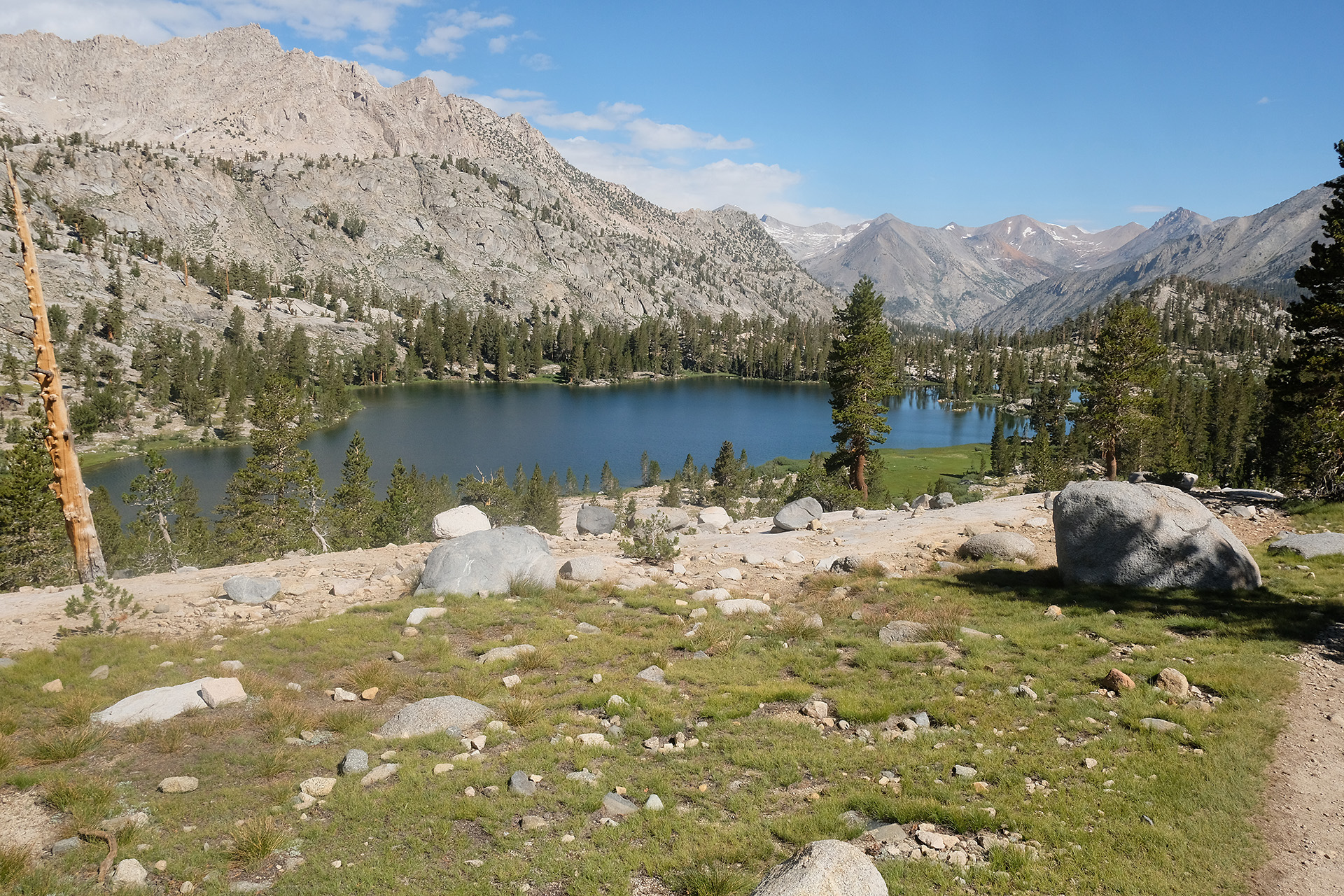
Arrowhead Lake
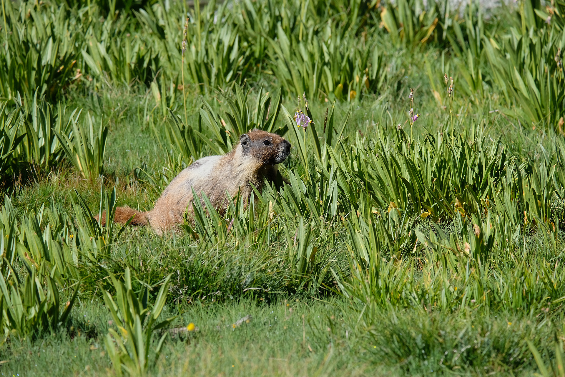
I started a bit before 9 am, with beautiful weather, along the east shore of Rae Lakes. A mile later I passed Arrowhead Lake. At around 10.000 ft elevation in the high valley a marmot was close to the trail, enjoying the sun, too.
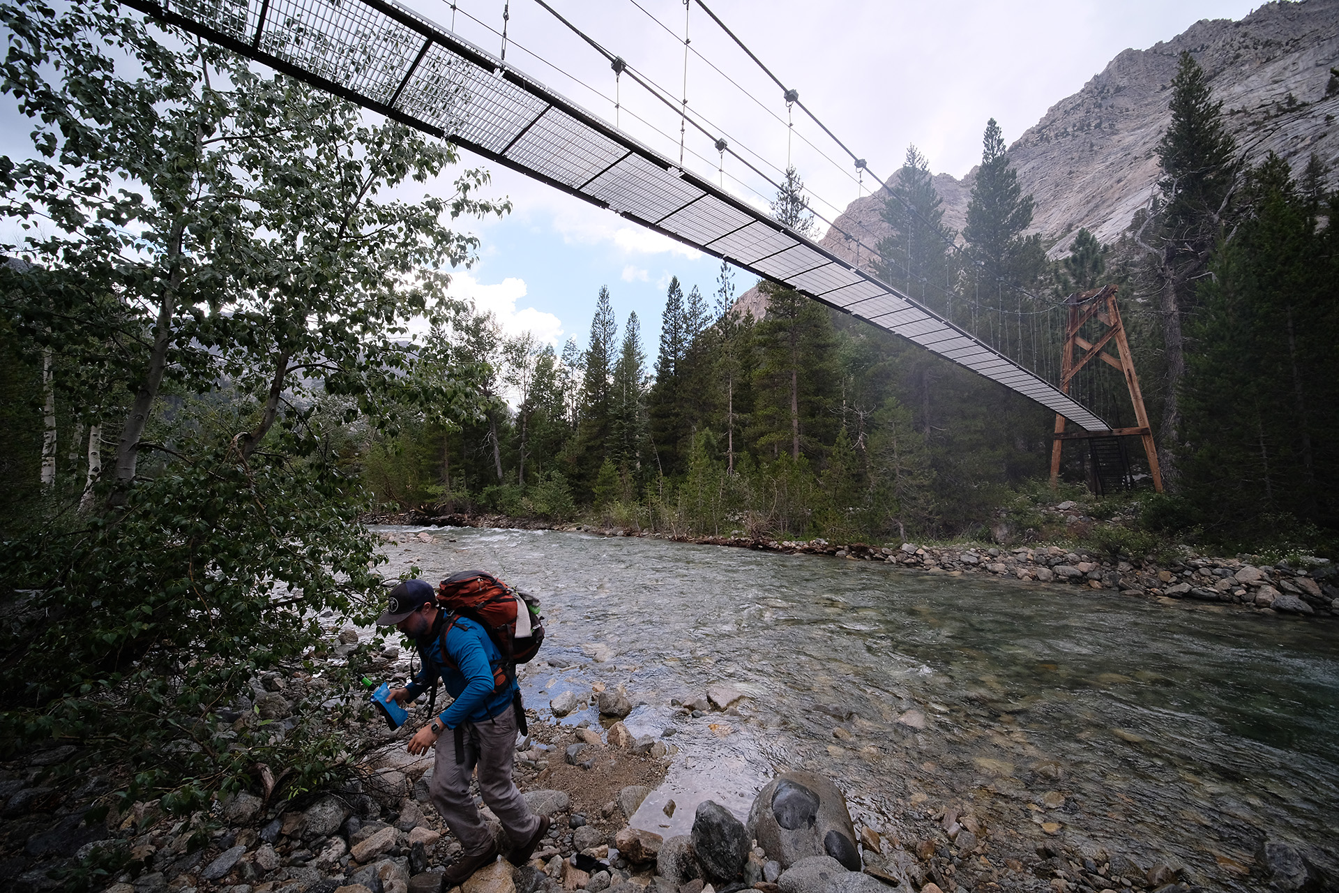
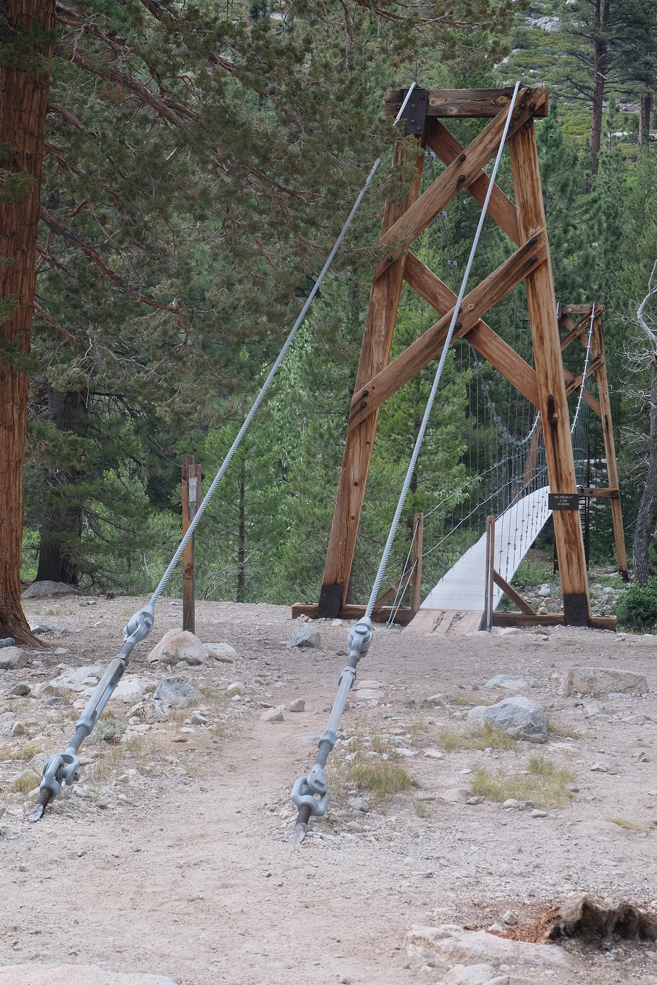
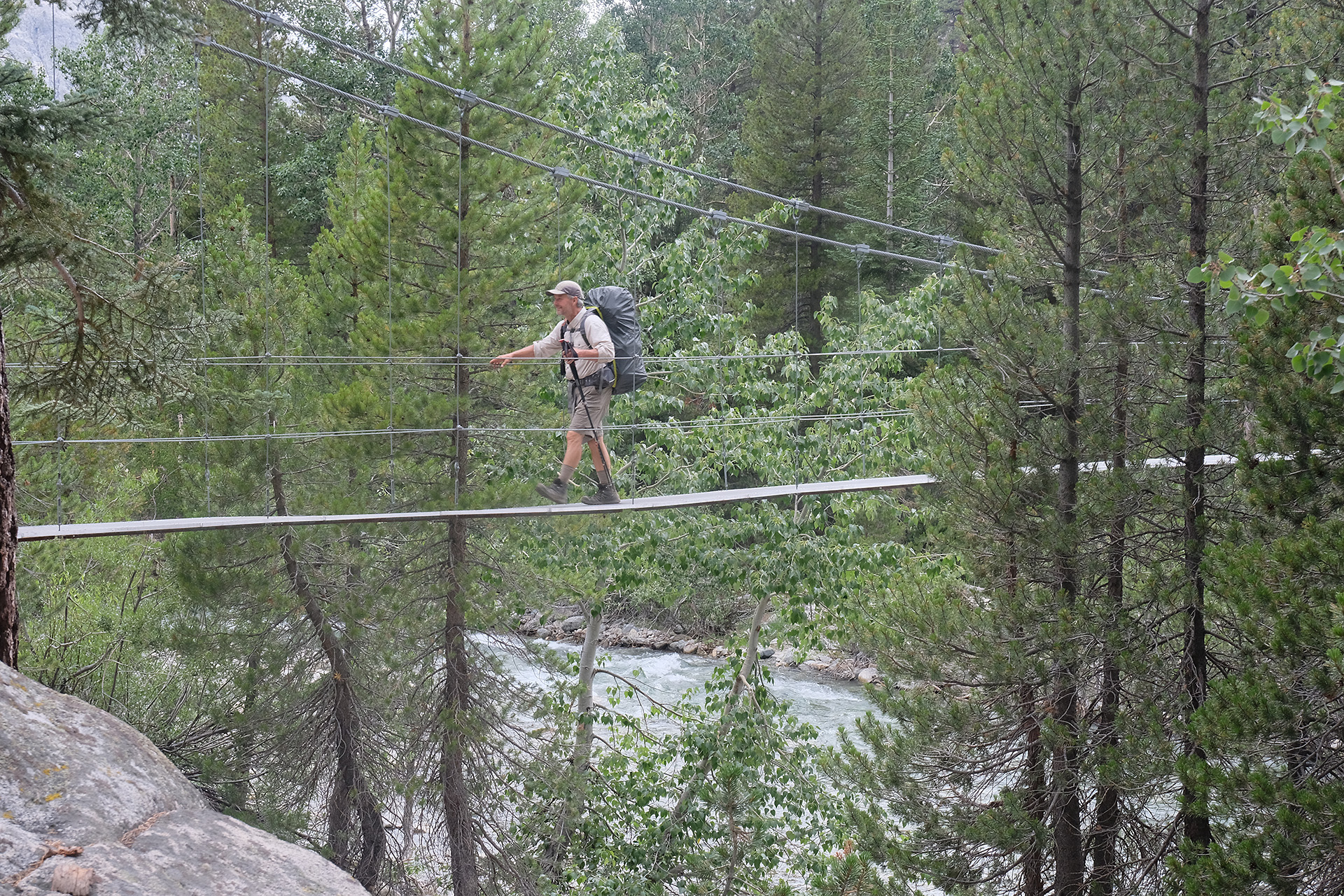
After the Baxter Pass Trail junction the JMT went downhill into the Woods Creek valley (8500 ft). Another 4 miles, and I reached the well known Suspension Bridge past noon.
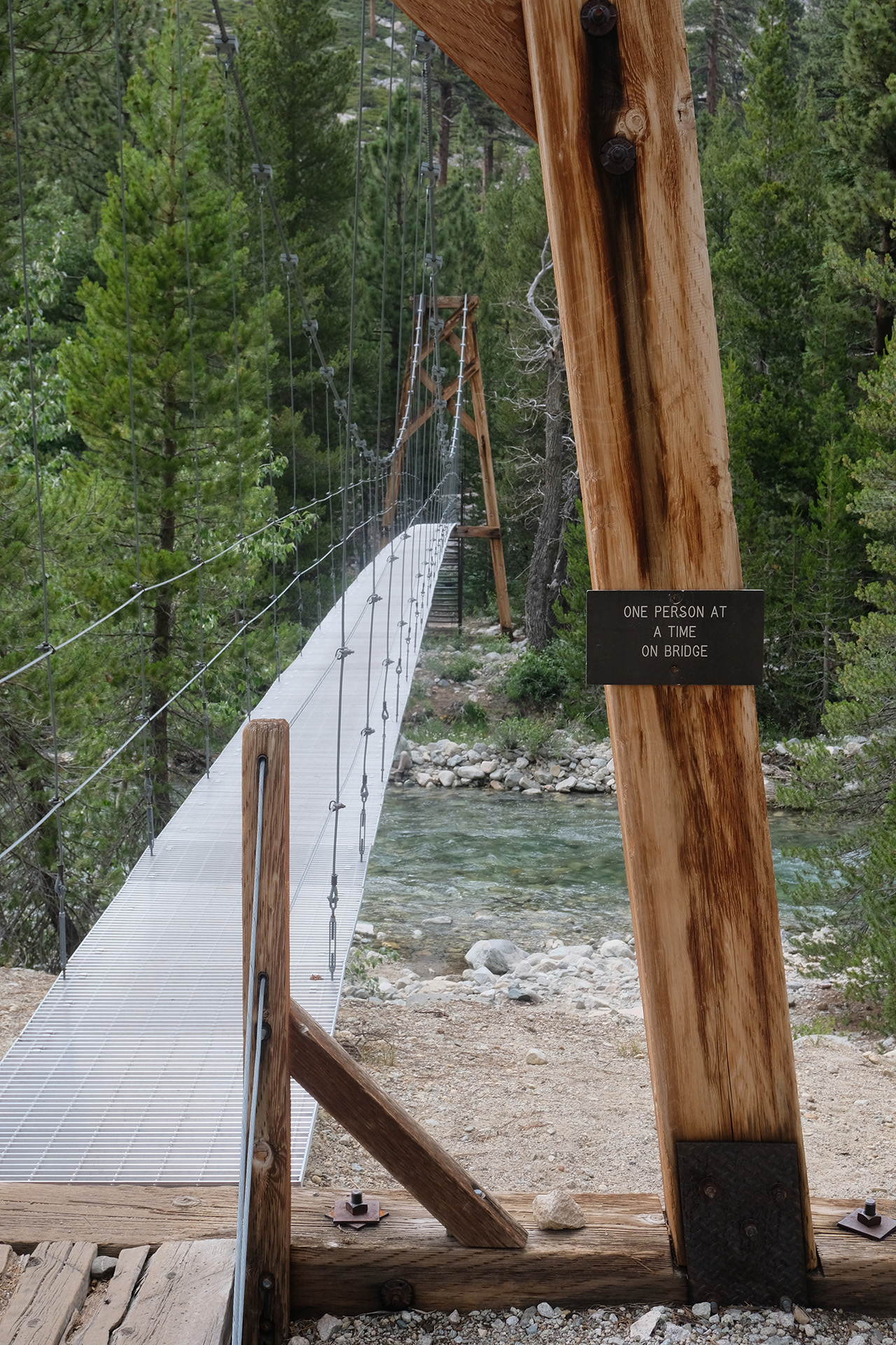
Woods Creek with the Suspension Bridge
One after the other
Swaying slightly
I had my lunch there, and the sky started to get more and more cloudy, with even some drops of rain. But I continued without my rain jacket as the trail now went uphill again; so some water cooling was welcome; it was warm due to the lower elevation.
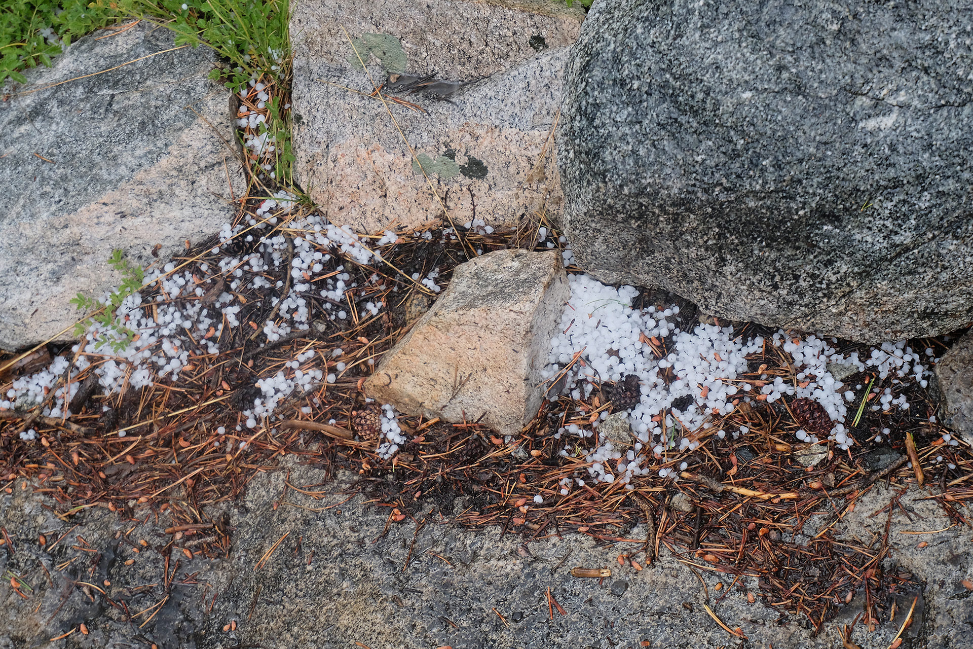
But an hour later the rain got heavier, followed by hail. I walked together with a hiker group from France, and we finally sought shelter under trees, and stayed there for half an hour, until most of the shower had ended.
Rainy weather
5:20 pm -the hail is over
I continued until a camp site before the Sawmill Pass Trail junction, at around 9800 ft, and 4.5 miles from Pinchot Pass. I would have liked to come a bit closer to the pass. So more miles left for tomorrow.
When I set up camp and the waxing moon appeared over the horizon, the sky was blue again!
I slept well and long. When I woke up I heard someone whistling the German national anthem. It was a German southbound hiker from around Berlin who has seen the flag on my tent; we talked for 20 minutes until he continued to Forester Pass. I had a late breakfast and then packed up for the day.
Charlotte Lake down there
Every day another pass – this would be the motto for a faster hiker now. There are 4 passes, each around 12.000 ft, in a sequence: Glen Pass, Pinchot Pass, Mather Pass and Muir Pass. For me this was not 4 but 6 days.
Today Glen Pass (11.900 ft) was just 2 miles and 1.400 ft away from my current tent site. But with my late start after 9:30 am I reached it only a tad after noon. I still felt the day before, and walked slow and with many breaks.
There was not much snow left, only one field directly after the pass on the north side, and some short patches here and there. Quite easy compared to Forester Pass.
On top of Glen Pass
View to the north
View to the south
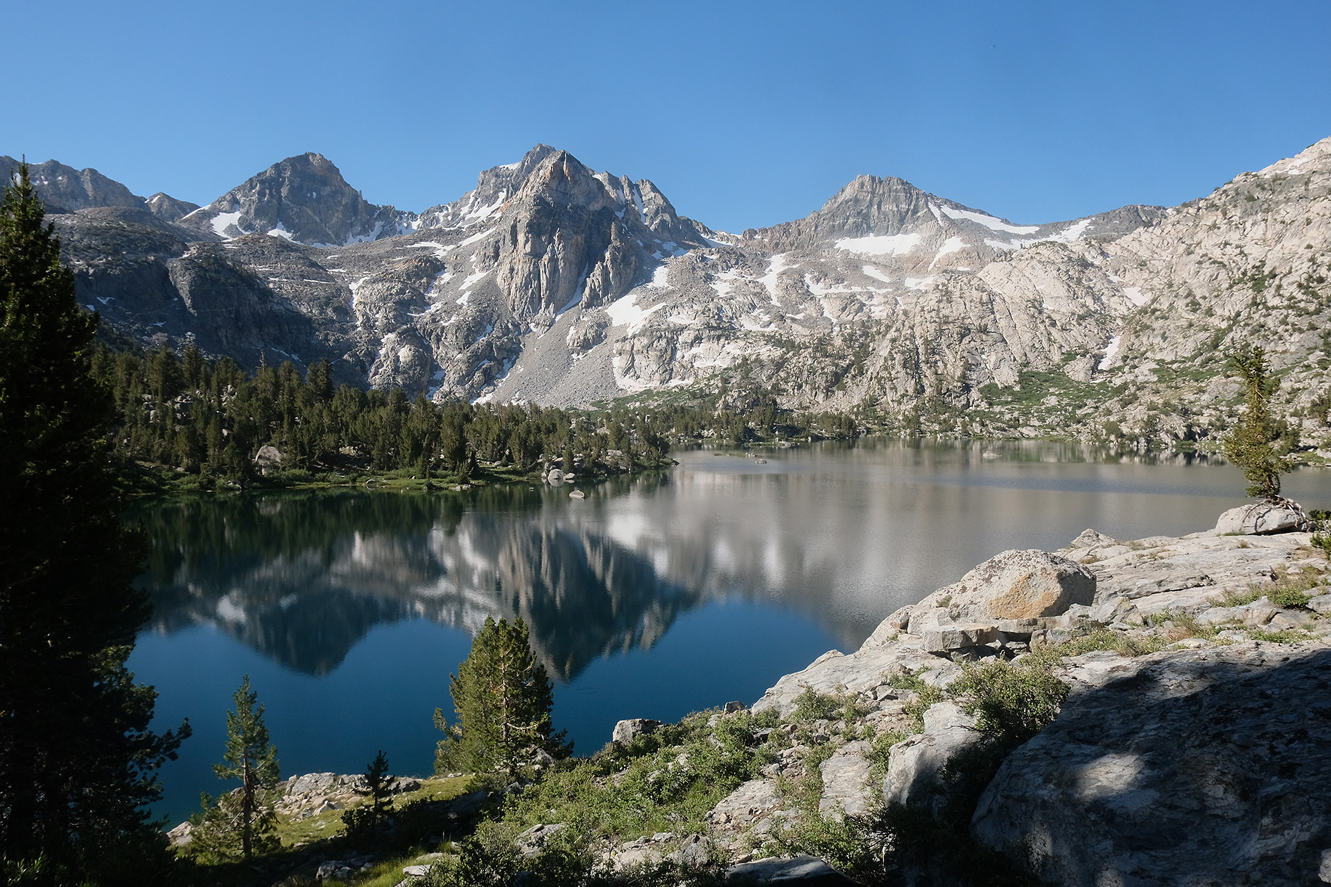
In the afternoon, 3 miles after the pass I approached Rae Lakes. I decided to set up camp a bit earlier today and use the lake to wash myself and my clothes. So this was the shortest stretch of my hike.
The Garmin InReach I had found 2 days before on the north side of Forester Pass now had been recharged, so I coupled it to my smartphone app and accessed the stored messages. It seemed it had been lost just a few days before I passed by, and I selected a mail address and sent a message that I had found the InReach. It was the father of the owner who was happy to hear about. I proposed to sent it out from VVR in about a week, and got the address. It’s a bit sad that I never got a response from the owner, and e-mails sent later to the father remained unanswered.
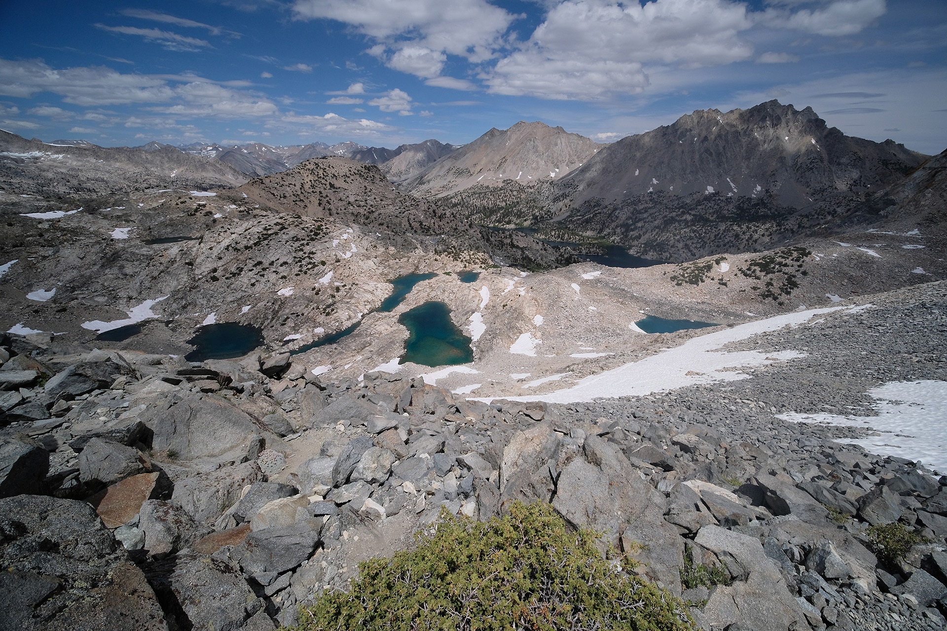
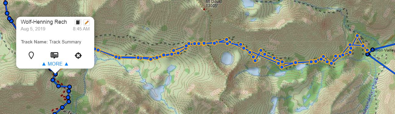
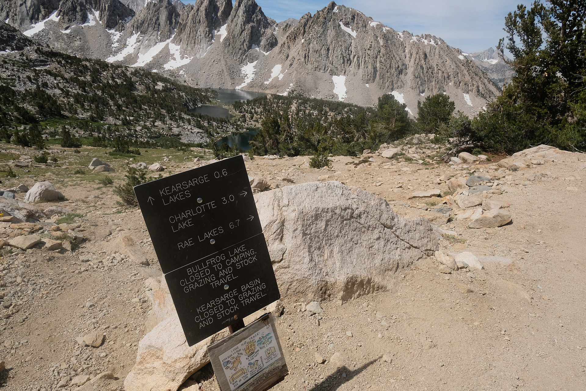
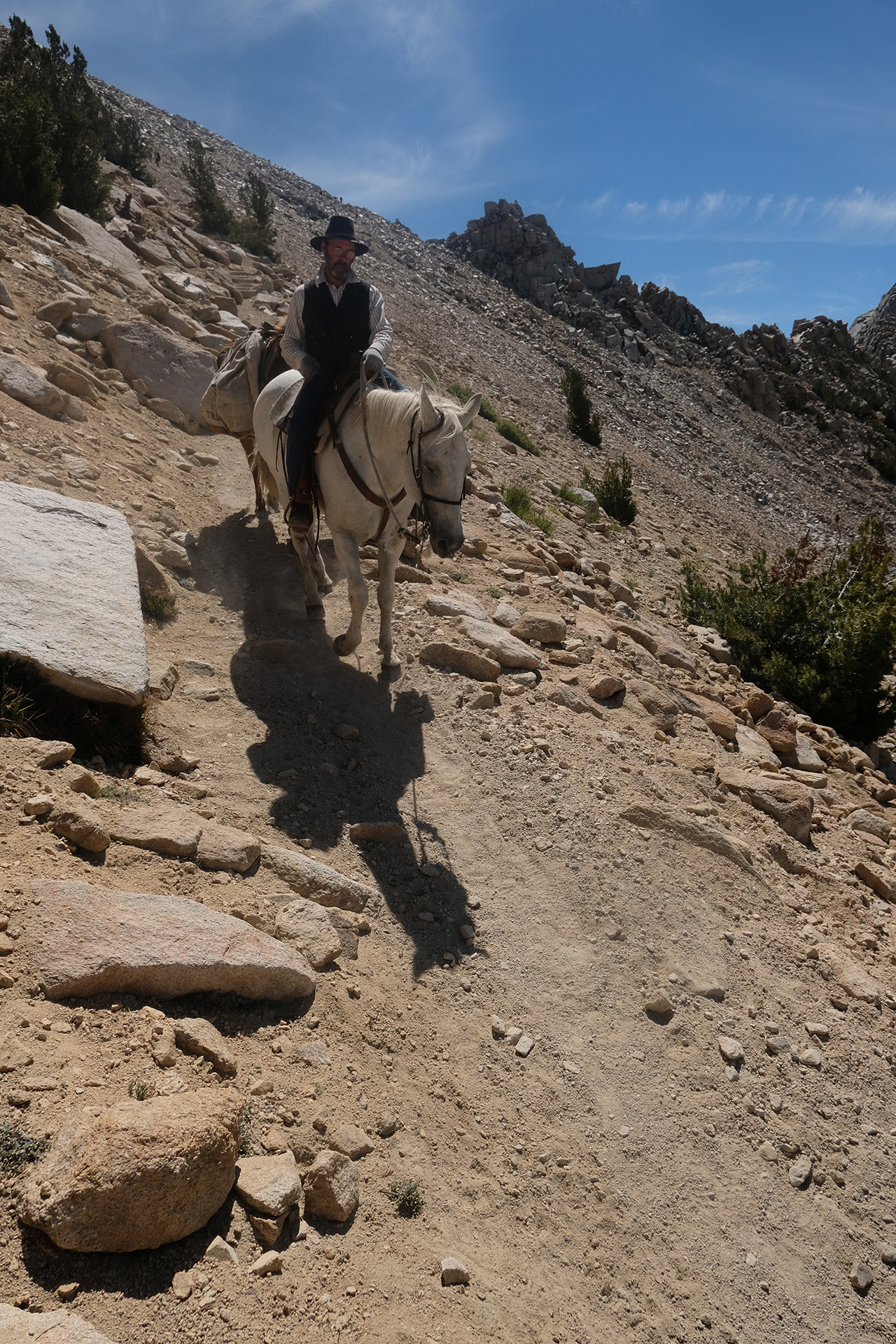
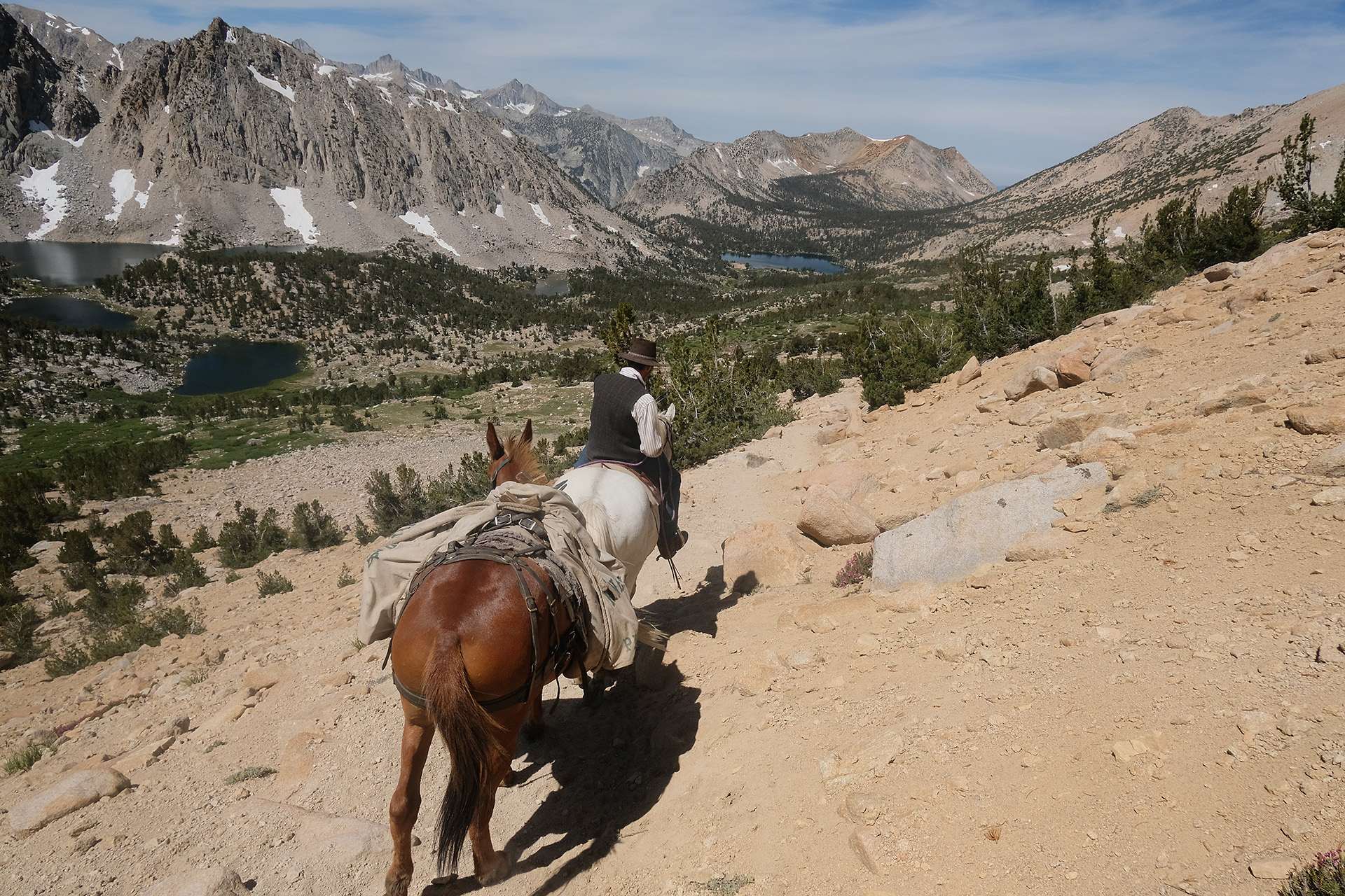
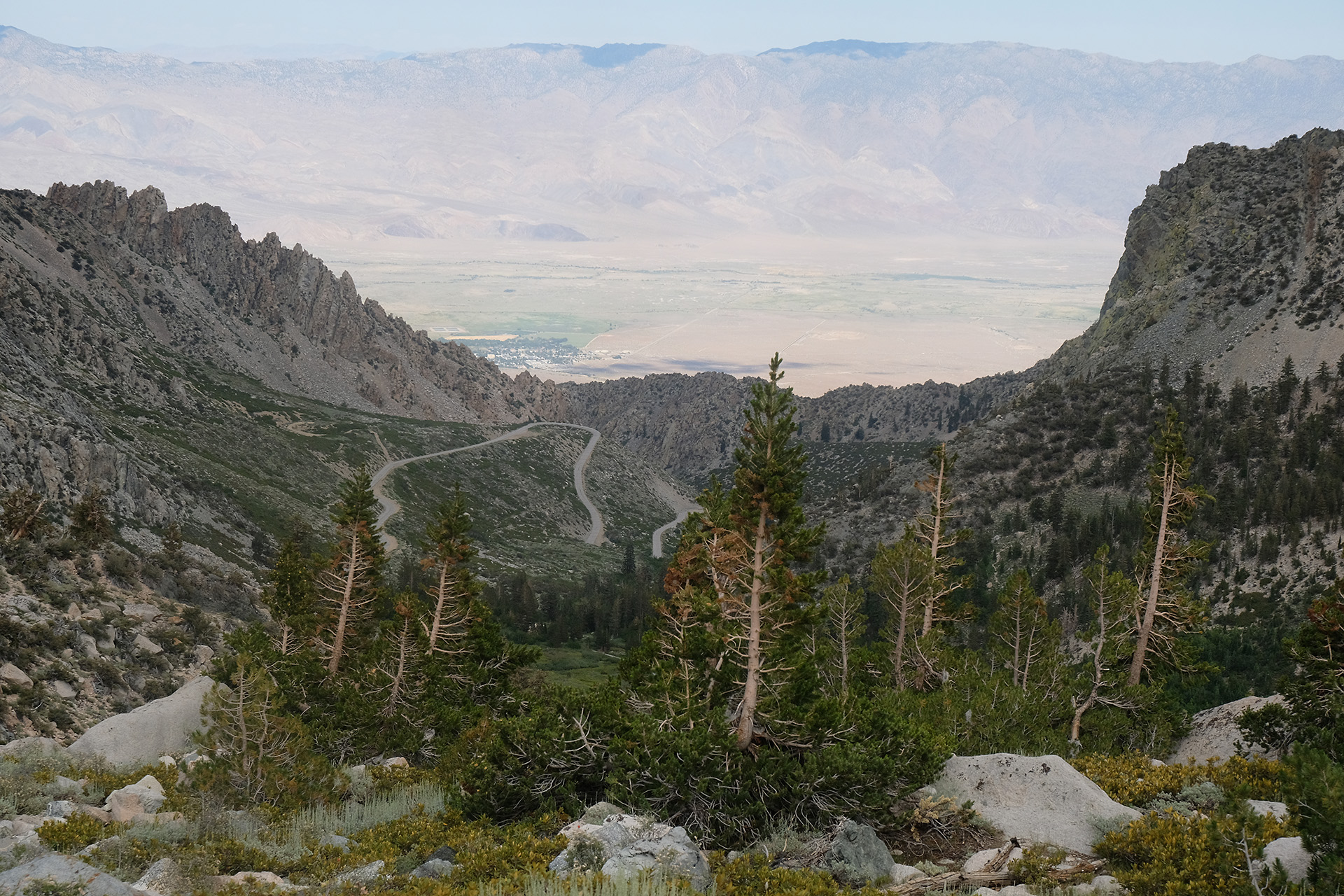
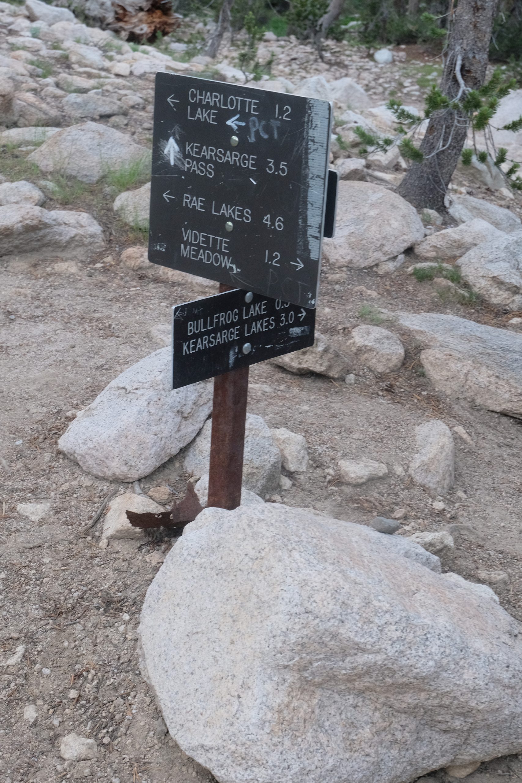
Today I wanted to refill my bear can down in Onion valley. So I left my tent and most other stuff at the trail junction, and started not too late – 8:45 am – off the JMT along the Bullfrog Lake trail with a lightweight backpack. This trail joins the Kearsarge Pass trail after about 2 miles. I met a mule train – well, it consisted only of the leading mule and one cargo mule, to supply some hikers who did not want to go down themselves.
Bullfrog Lake
Berner’s Pack train…
…supplying some hikers
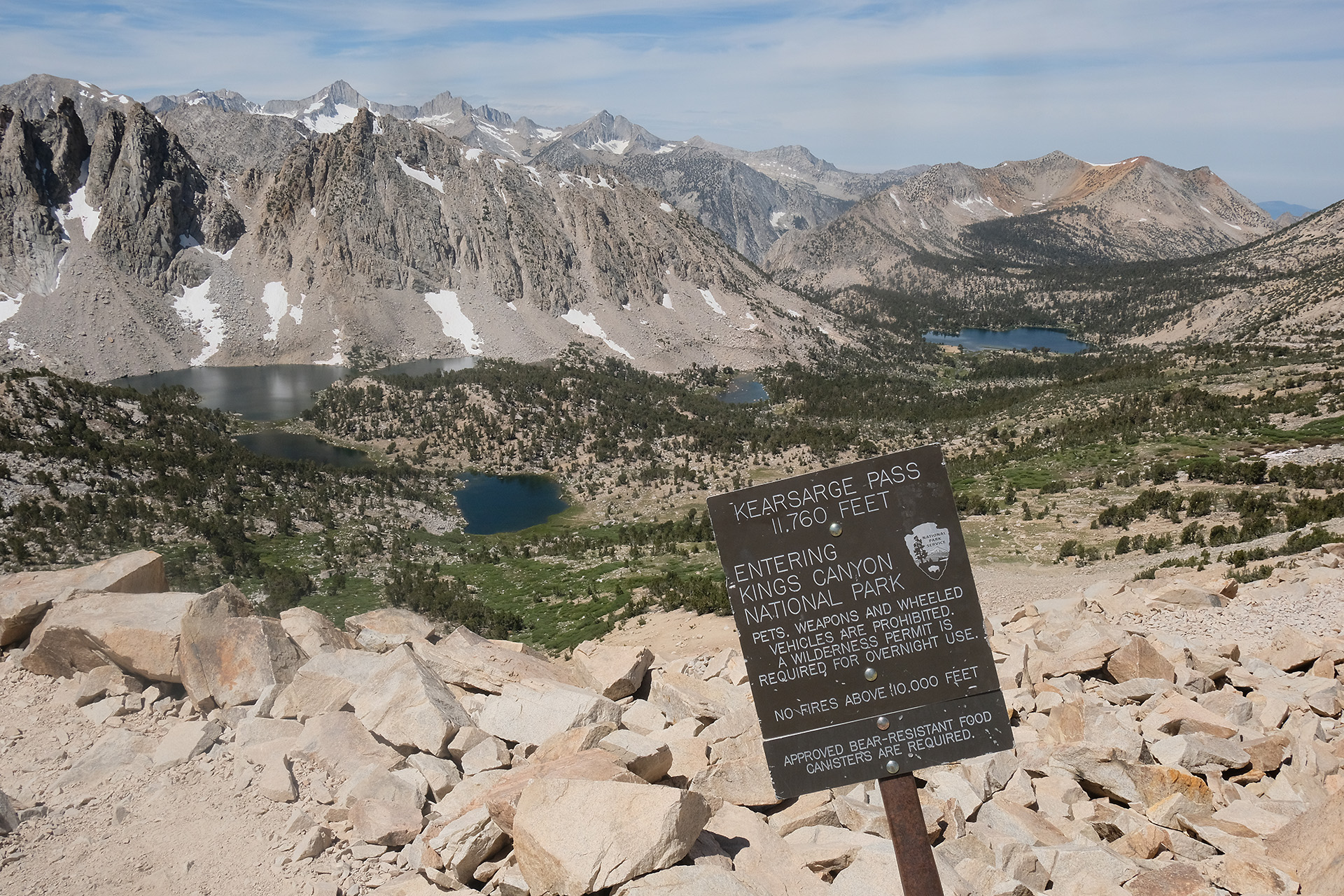
After 2.4 miles and 1300 ft elevation gain I reached the Kearsarge Pass at 11.760 ft.
Kearsarge Lakes and Bullfrog Lake (in the back)
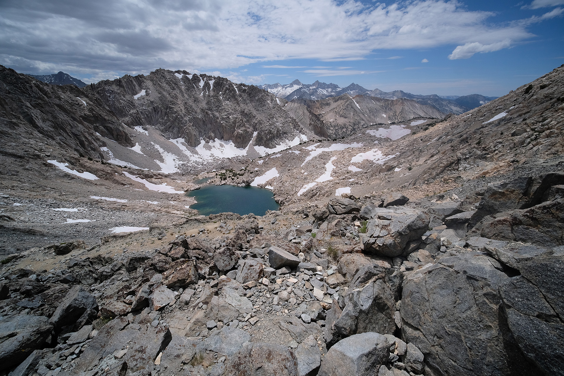
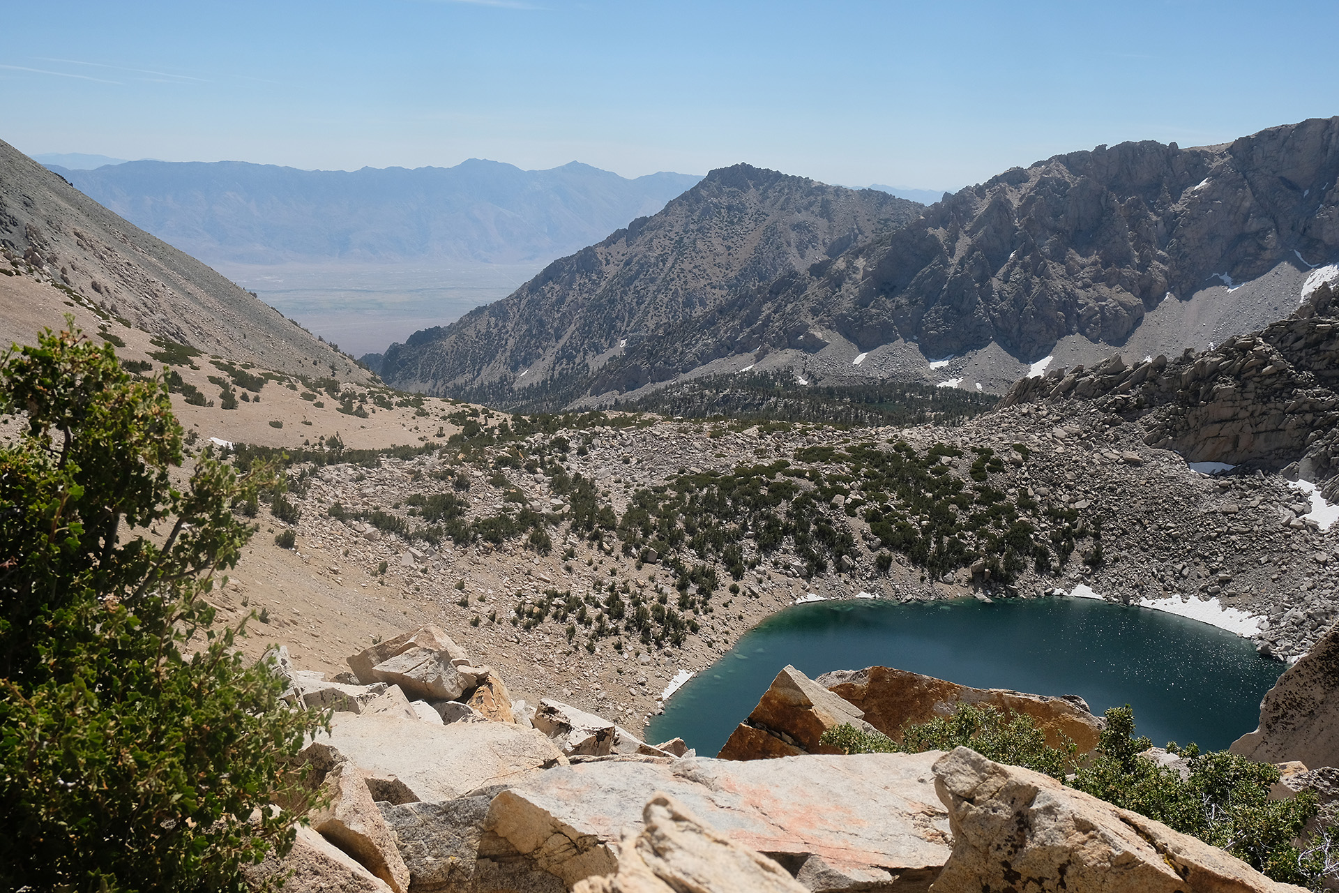
The Big Pothole Lake – in the background Owens Valley
Big Pothole Lake
On my way down into the valley I heard someone speak Swedish. And in fact it was a couple from Stockholm, Sandra and Carl, who walked the same trail. We found out that they had a plan and schedule very similar to mine: they had started 2 days later than me but skipped Mt. Whitney, and wanted to be at Happy Isles in Yosemite Valley also 2 days after me. We continued together – they walked a bit faster but had more breaks – down to Onion valley. The next two weeks I met them often along the trail, until a farewell lunch at Tuolumne Meadows.
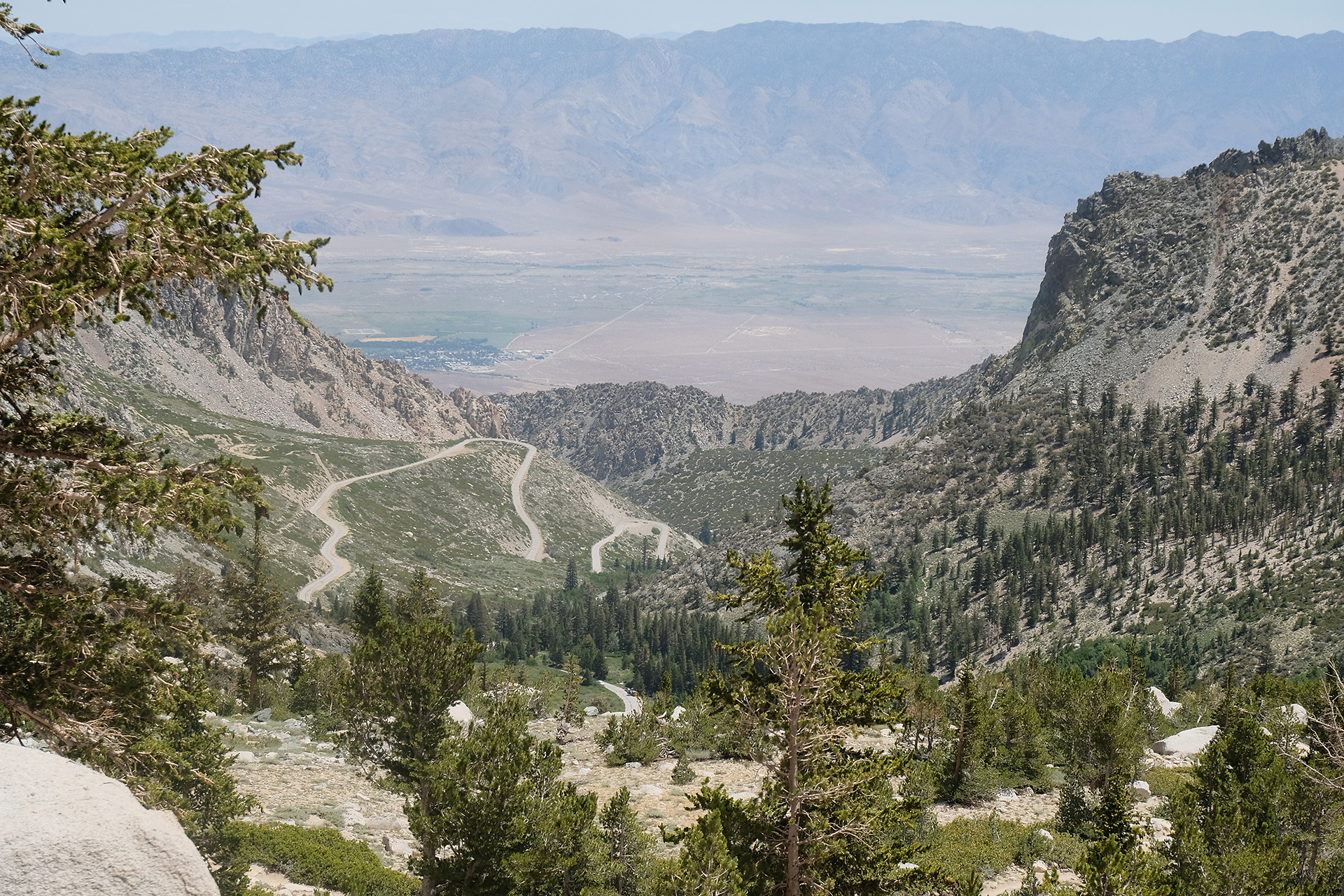
It got hotter and hotter walking down. I was happy to have enough water with me. Soon one had a first view into Owens Valley, and later even saw the road up to the Onion valley campsite, where I had stayed for one night a week ago. We were happy when we approached the parking lot.
At the parking lot I first had to search for the right bear locker – in which one had I put my bucket? – but finally could successfully retrieve my treasures. I filled the bear can and put aside some more food for tonight. I restarted around 2 pm. Now the hard part began, with all the food in the pack, and uphill.
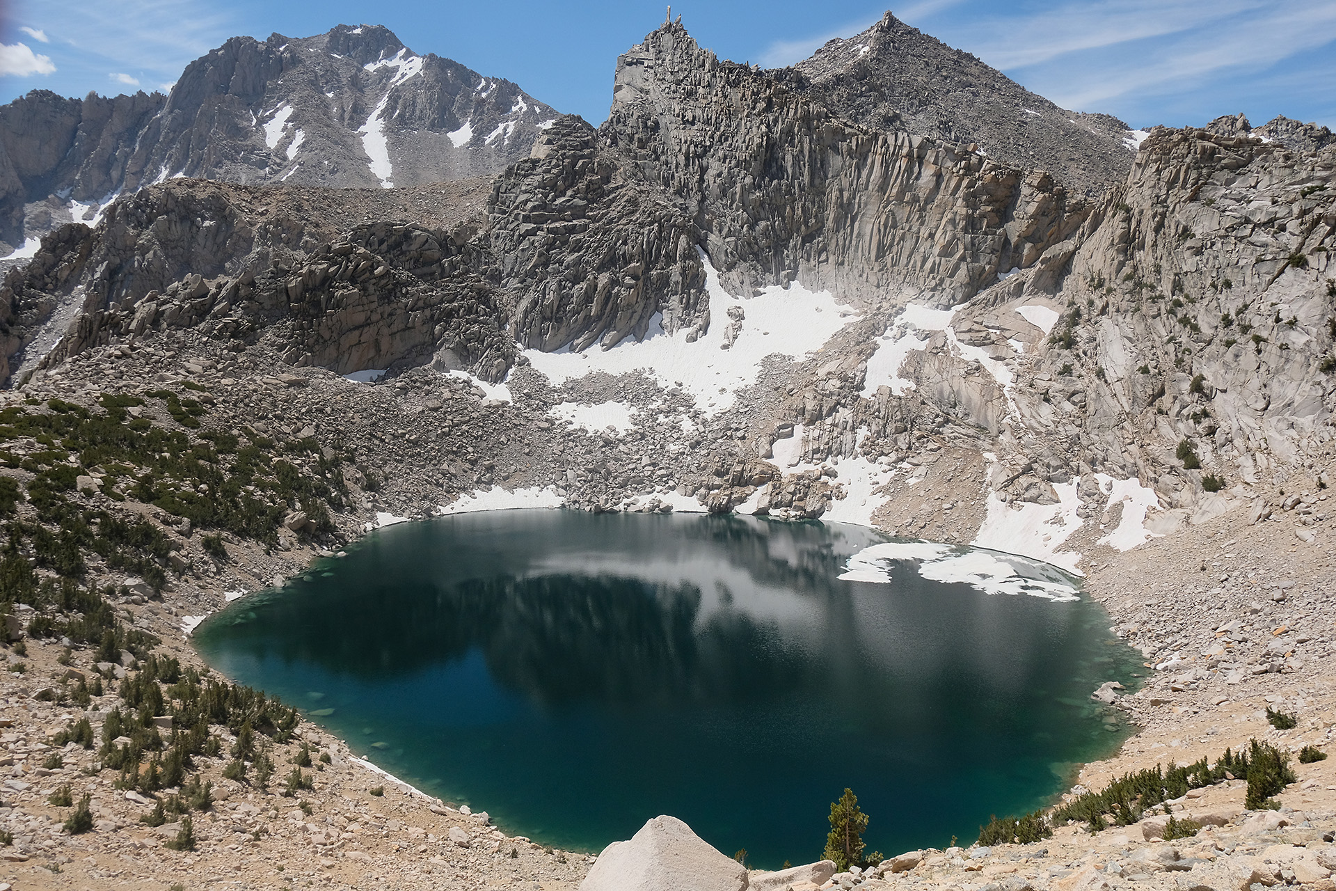
Close to the pass I met a landscape photographer with his tripod and camera set up for a shot on the Pothole Lake. He told me he was now up here the 5th time, trying to catch the right mixture of dramatic light and clouds, but until now he had not hit the right moment. I fear he may have to make this tour up and down the pass some more times until he can meet his ambition. For me the light was good enough for a shot.
Uphill again
An landscape photographer
Dark clouds close to the pass
Back to Bullfrog Lake around sunset
I arrived on top of the pass around 6 pm after an elevation gain of 2.700 ft. But then another 2.4 miles and 1.300 ft descent waited for me.
After a tough day of over 11 h I arrived back at my tent when it got really dark, around 8:15 pm. A late dinner, set up the camera for another milkyway timelapse, and then I slept well and long.
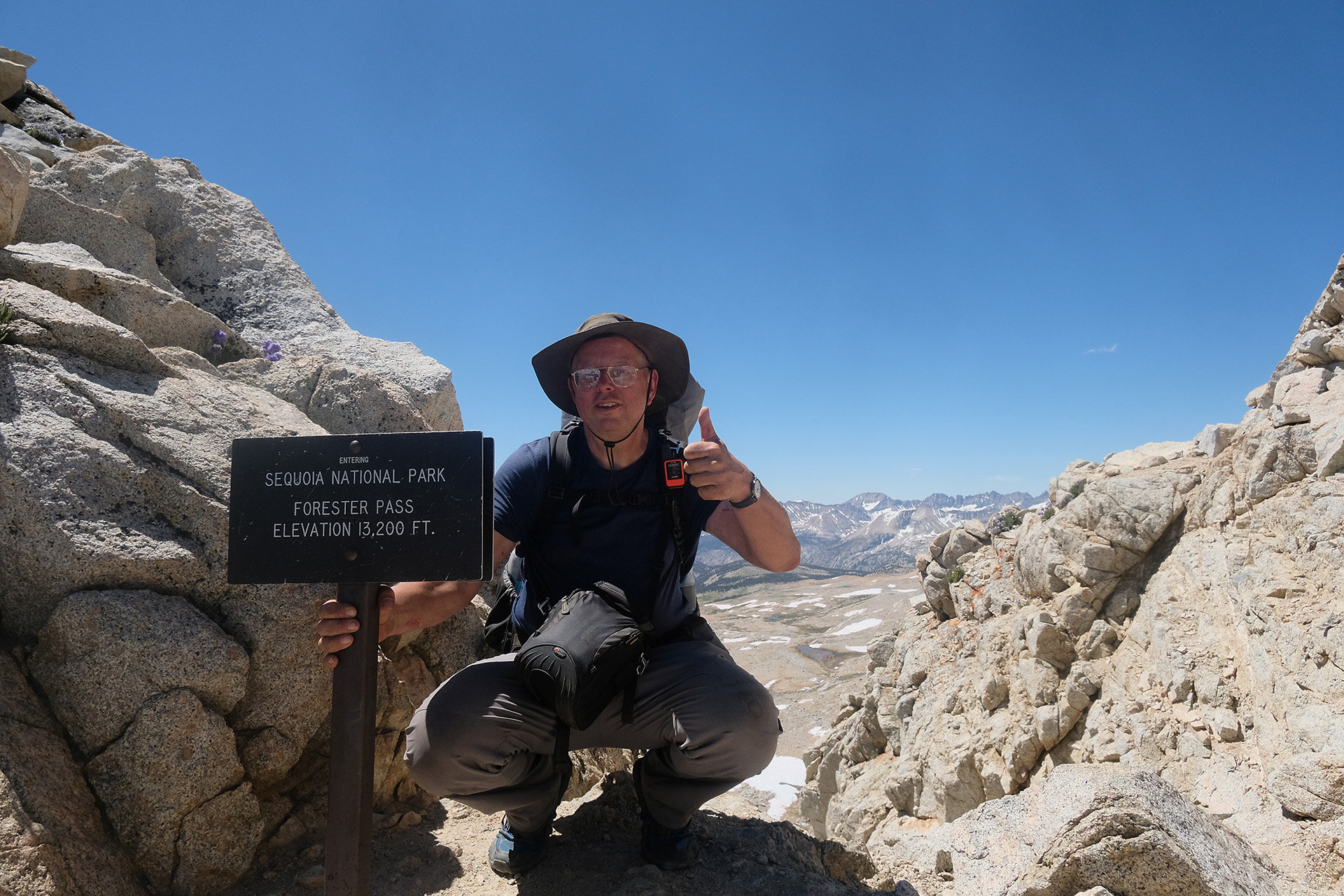
Forester Pass is the second highest point on trail, after Mt. Whitney. But my plan for today was not only to cross the pass before noon, but I should then continue the JMT until the junction to Kearsarge Pass / Onion Valley. So I should not leave too late.
It was 7:45 h until the morning routine was finished, everything packed, and I continued the ramp up to the pass. The next 4 miles were a nearly continuous ascent; the terrain changed more and more to barren alpine, and the snow patches got larger. But the trail stayed nearly free of snow. When the pass became visible in the mountain range I could overview the Diamond Mesa with its partly icy lakes behind me.
Diamond Mesa
Forester Pass in the center
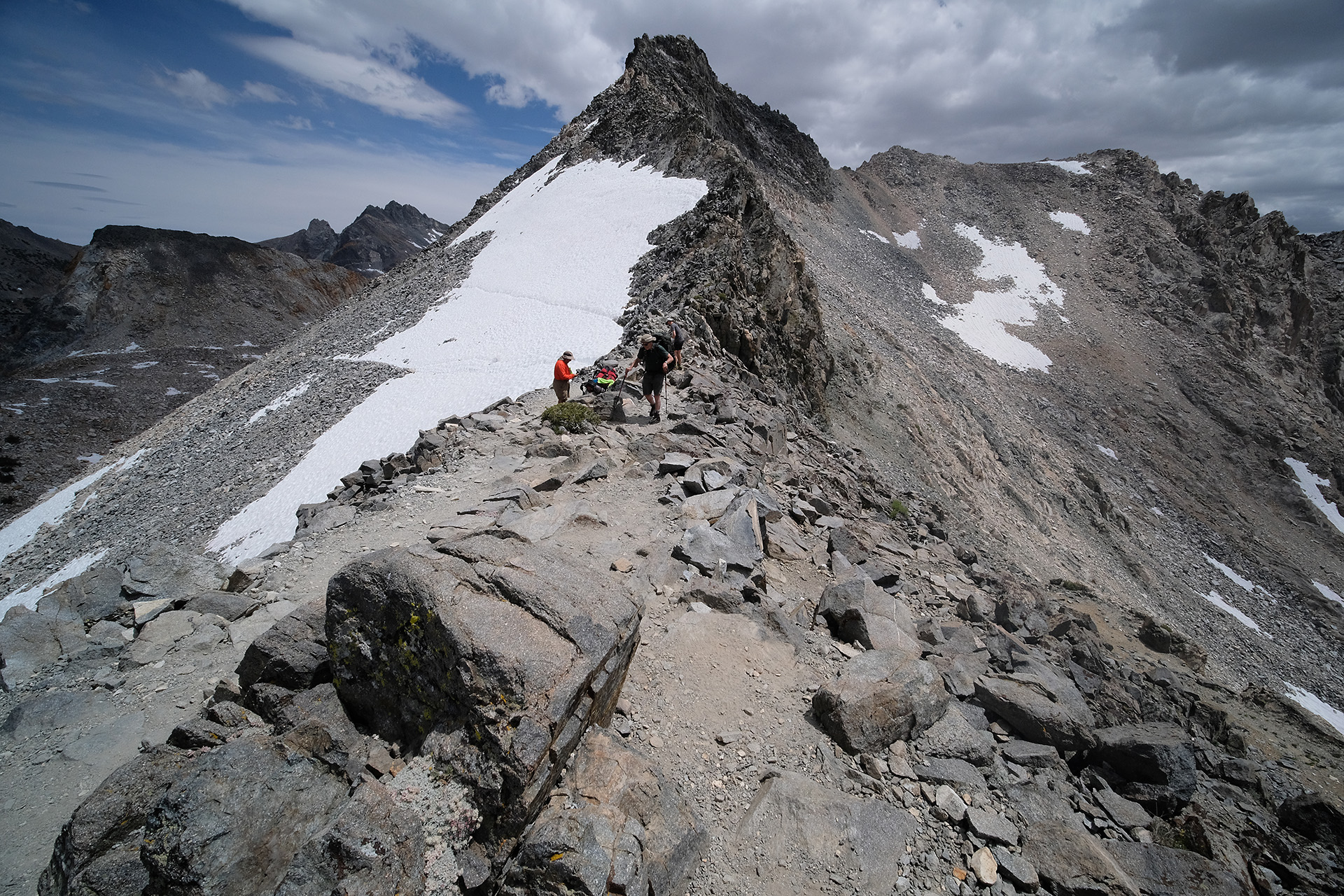
Yes, this is the pass. From a distance the climb looks like serious mountaineering, but on a closer look the switchback structure on the right side can be recognized.
Forester Pass
Switchbacks visible to the right of the pass
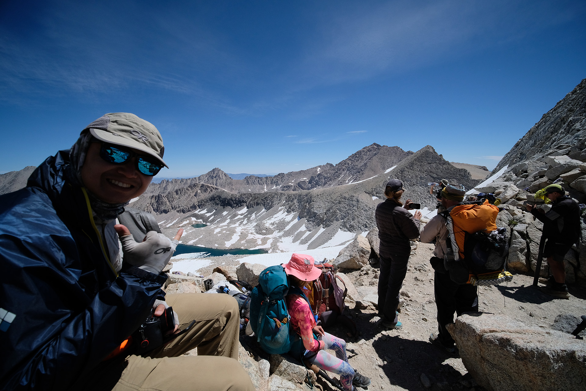
There were quite a lot of hikers heading up and coming down these switchbacks which were free of snow. Even the notorious “chute” had melted down so far that the trail was just exposed. Apart from the height and thin air it was an easy hike, but I may not have liked it under more adverse conditions. Finally I reached the top at 11:30 am.
The chute
Easy trail now – but with snow?
On top
Made it!
After a break on the pass and some talk with the other hikers I continued down. Soon the trail disappeared to the right under a snow field but a boot track continued straight. I used my crampons – the first and only time on the trail – while some people in front of me had no aids. This boot track seemed to run on a shoulder for quite a distance, on snow interrupted by some rock climbing here and there. I was not happy about this path – you cannot walk well with crampons over boulders. So I looked for an alternative.
I found the original trail with the help of Guthook JMT and could spot it free of snow just one or two switchbacks down from where I was. So I left the group and carefully went down a snowy 30° slope with the help of my crampons and hiking poles. After a short rocky section I was back on the original trail. And I could walk there much better and faster than along the boot track, just had to pass 2 or 3 short snow patches of a few meter length on flat terrain.
And, look! – there I saw something orange in the snow and collected it -I had found a Garmin InReach! Someone obviously had lost it there. I put it into my pack and continued. But then the trail was going up again and disappeared in a huge snow cornice! I was lucky: the right end of this small ridge was free of snow, and I could easily climb up there and shorten the switchback. Now I was really back on a good part of the trail, and much ahead of the group I had left after the pass.
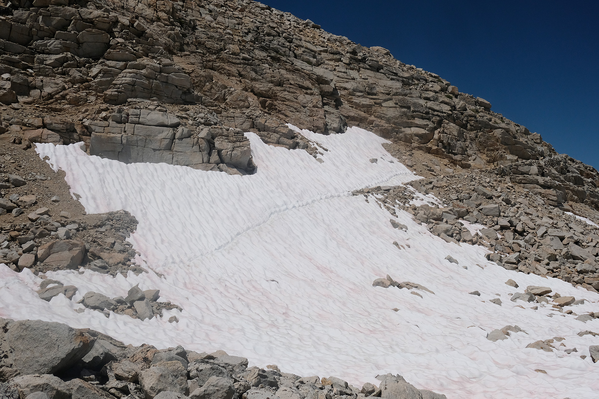
Some more short snow fields followed which I passed without crampons using the well established tracks.
Short snow field
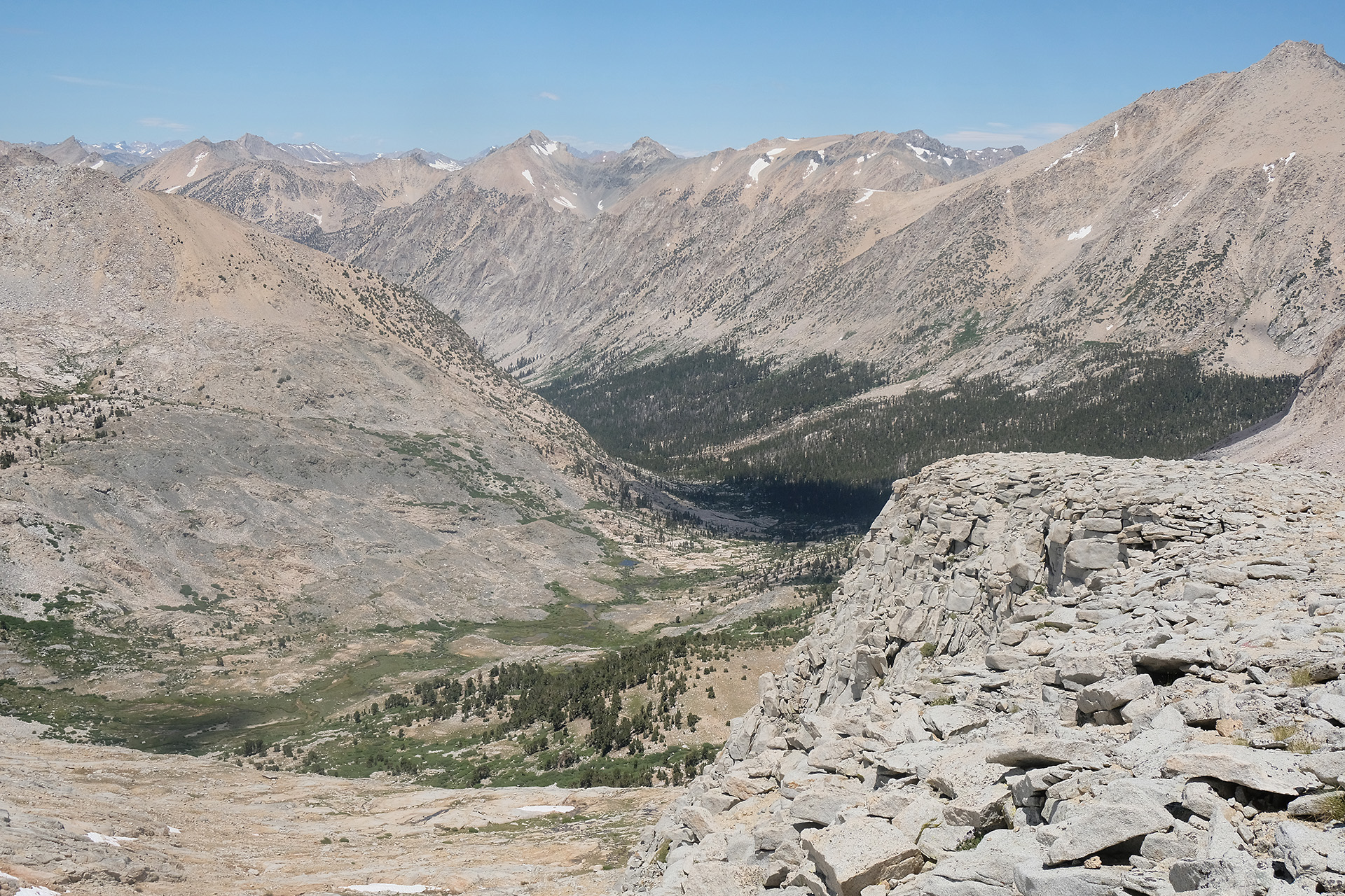
Bubbs Creek
With lower elevation more and more vegetation appeared, also a lot of water from the melting snow; later I saw a deer close to the trail. From 13.200 ft down to 9.500 ft (Vidette Meadow) it was a lot of downhill walk. At 5:30 pm I crossed Bubbs Creek.
I had to continue and hike uphill again after Vidette Meadow, another mile and 1000 ft elevation, to reach a good starting point for tomorrow. I found it at the Bullfrog Lake Trail junction. While the Bullfrog Lake itself is a no-camping area, there are 2 or 3 tent sites close to the trail directly at the junction. There I set up my tent after a long day. Tomorrow I will make a round trip down to Onion valley, to replace the diminishing food supply in my bear can.