JMT 23. – 24. 8. 2019 – Post-hike activities

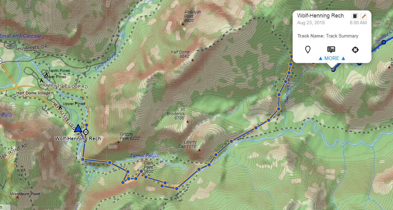
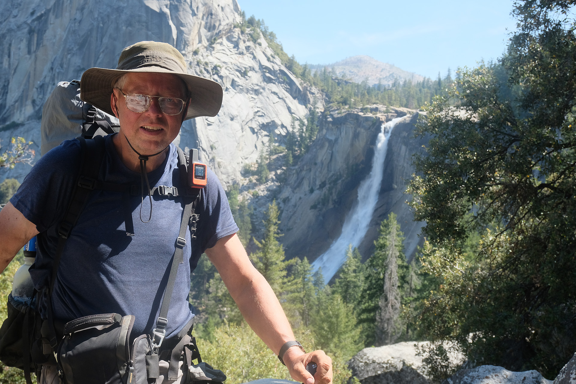
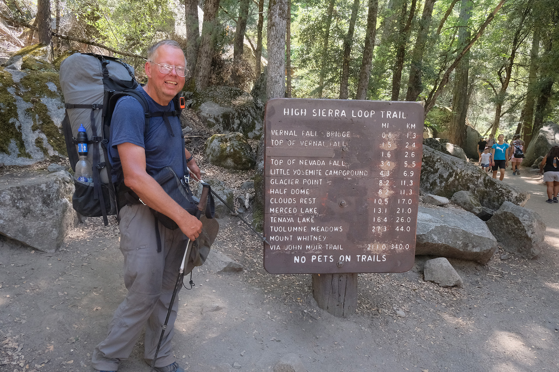
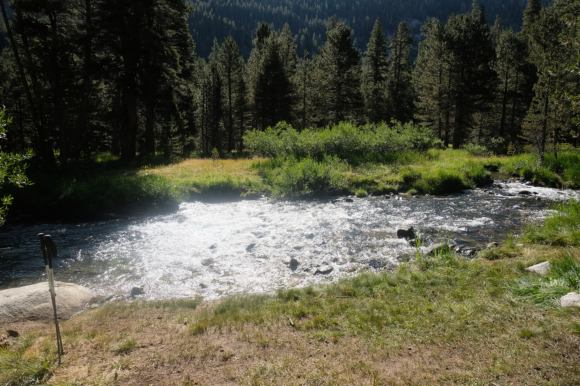
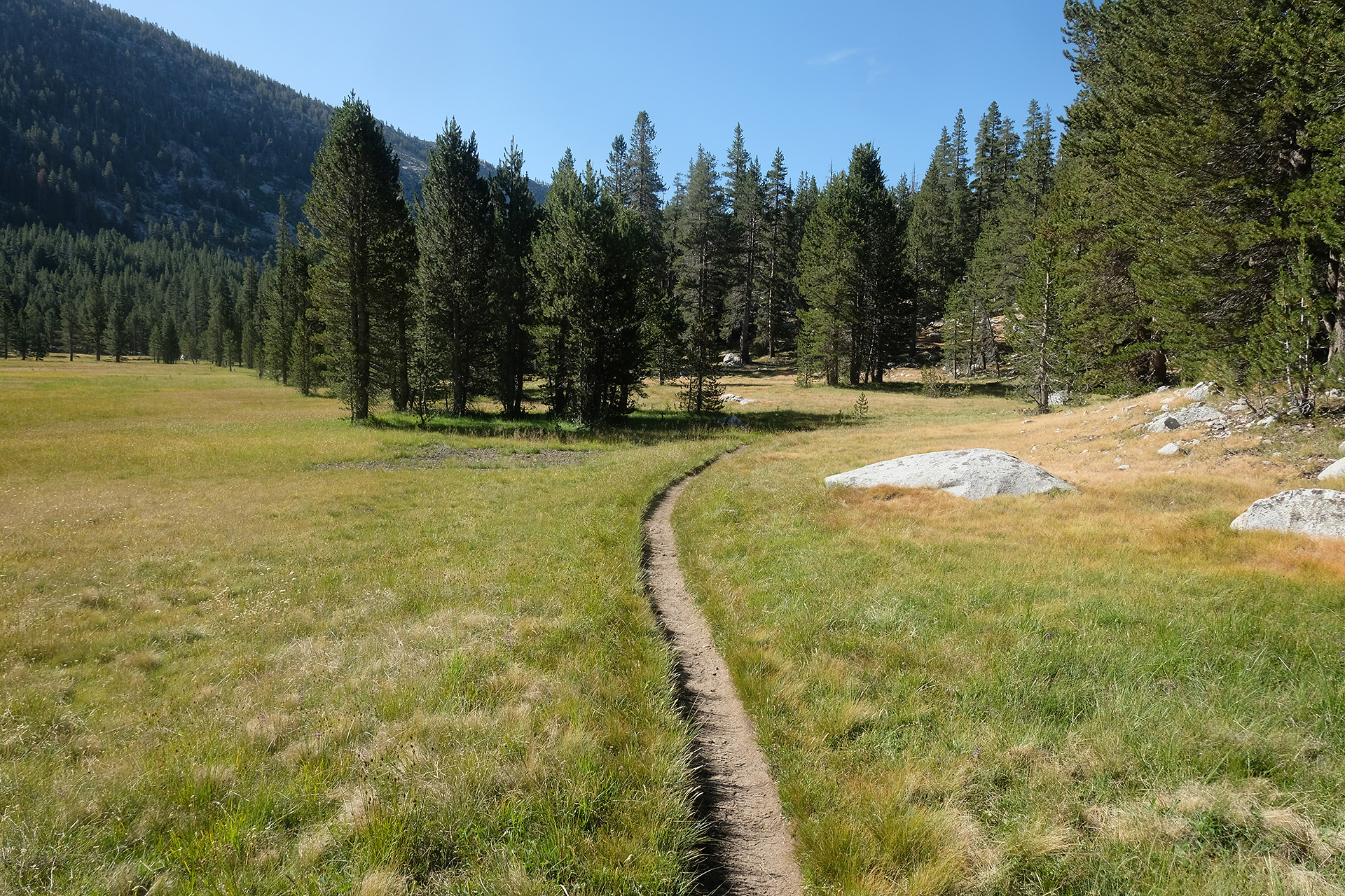
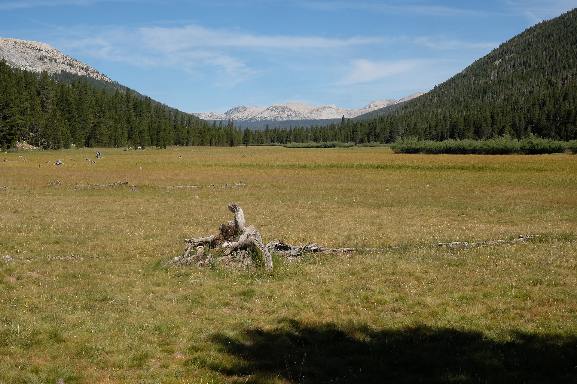
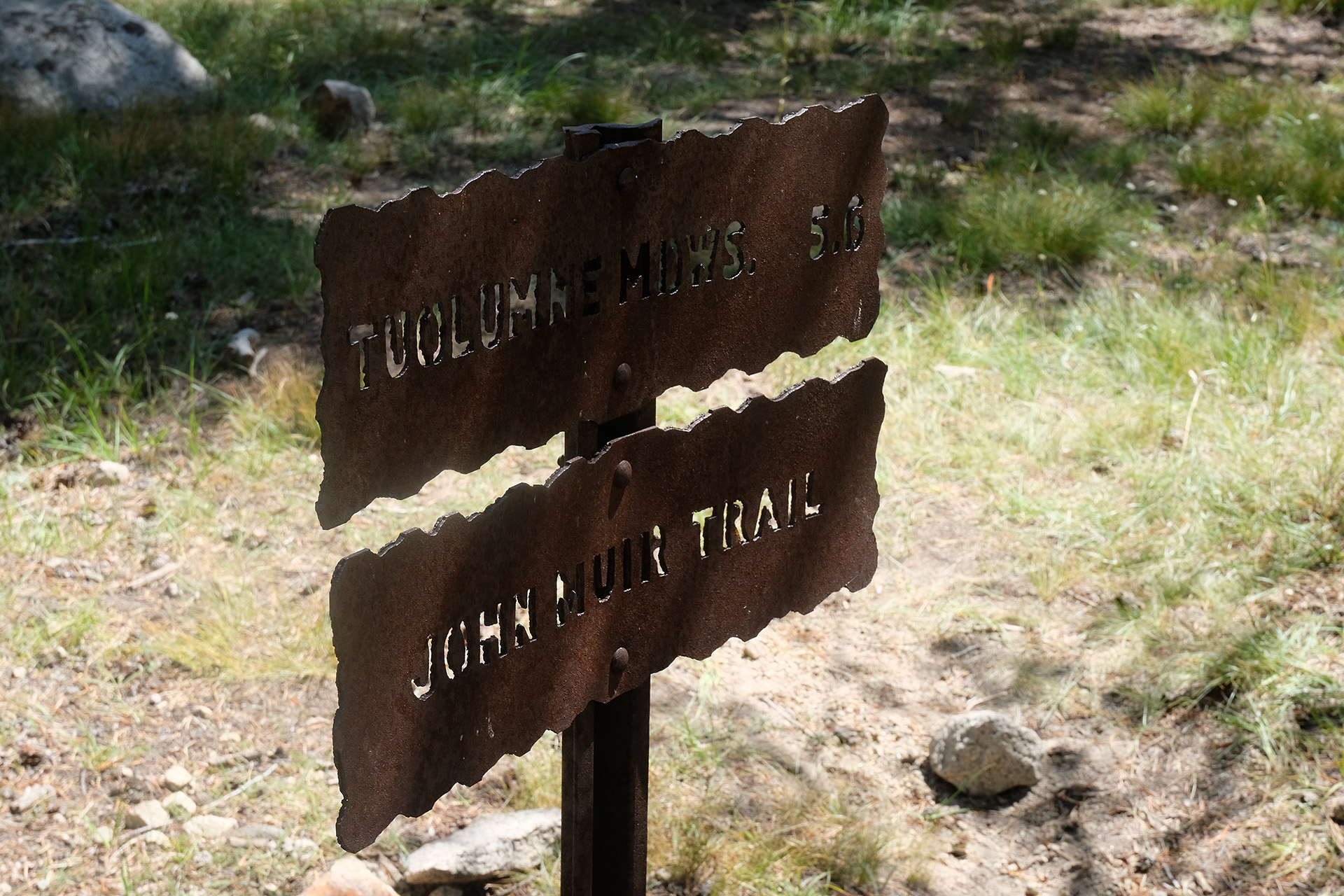
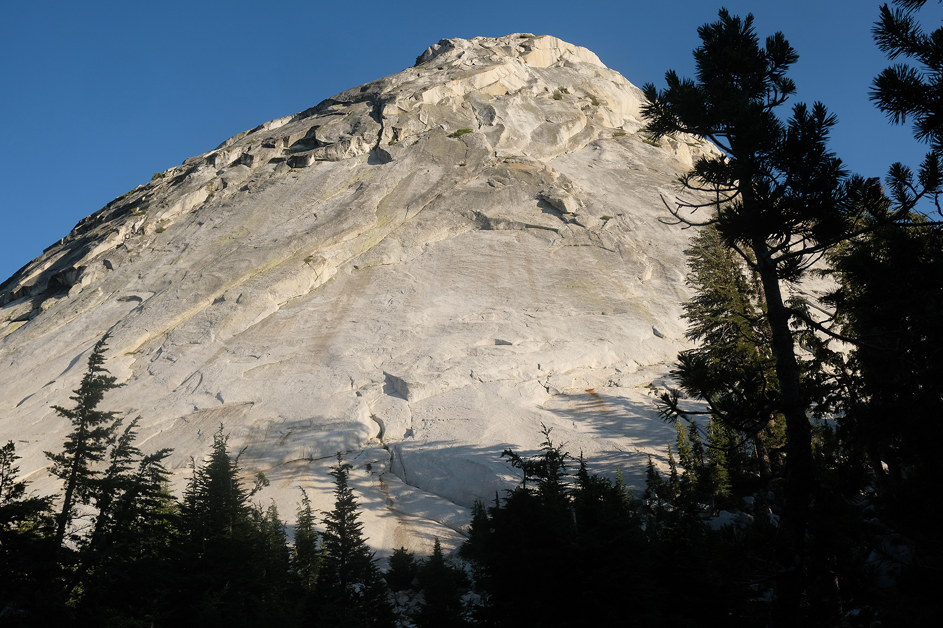
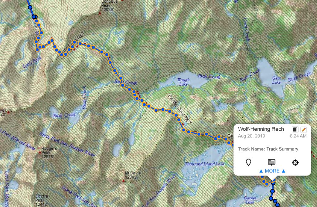
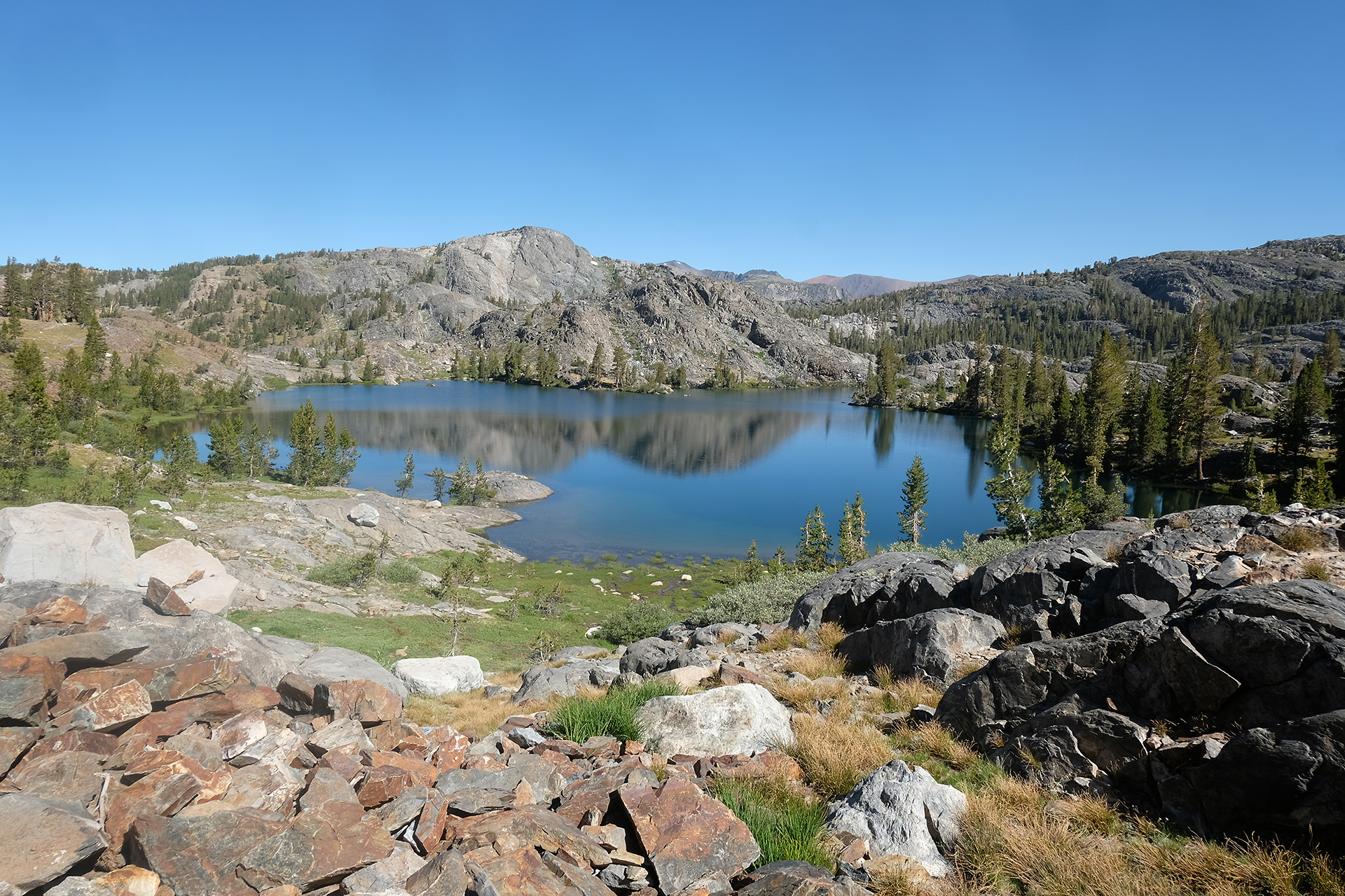
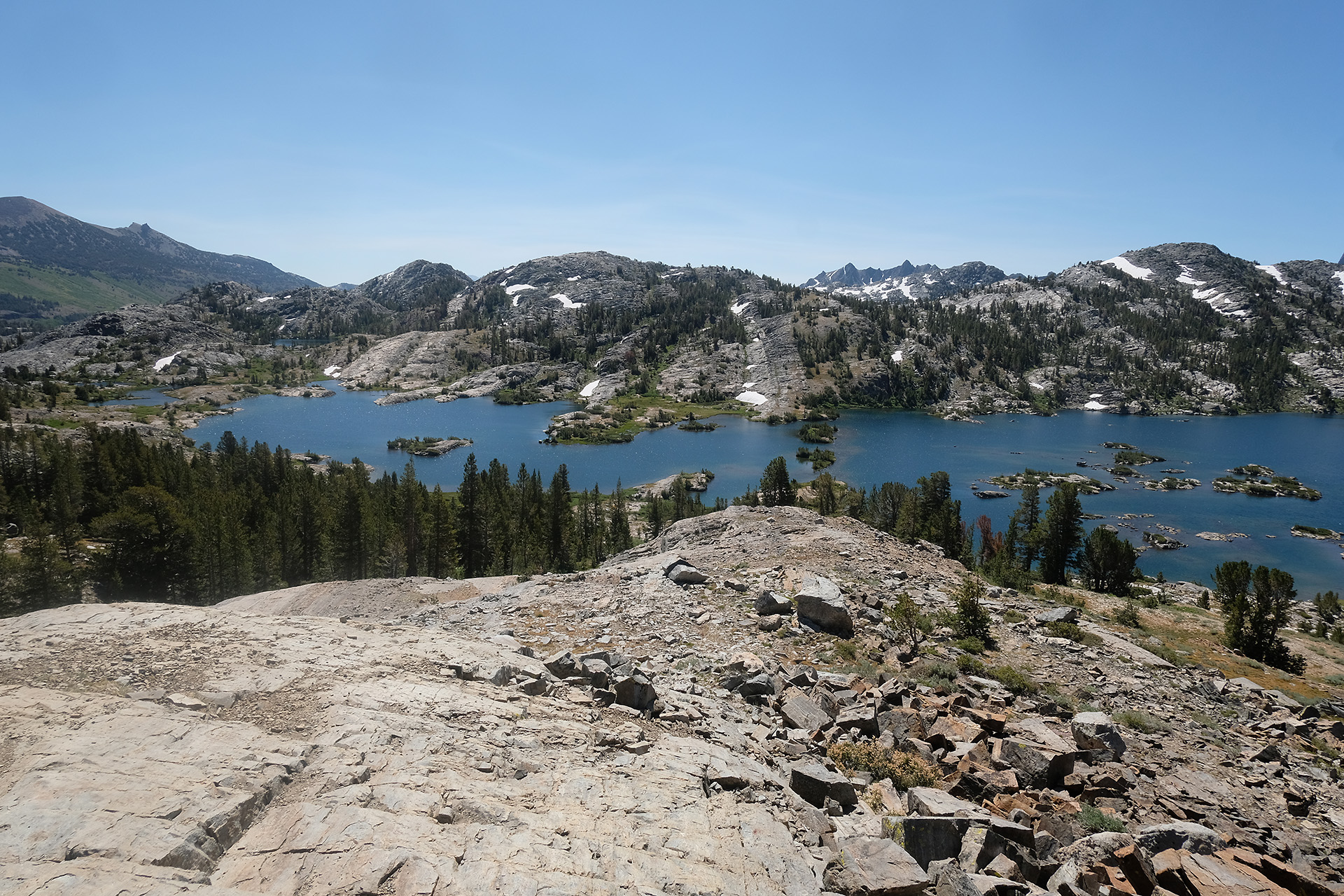
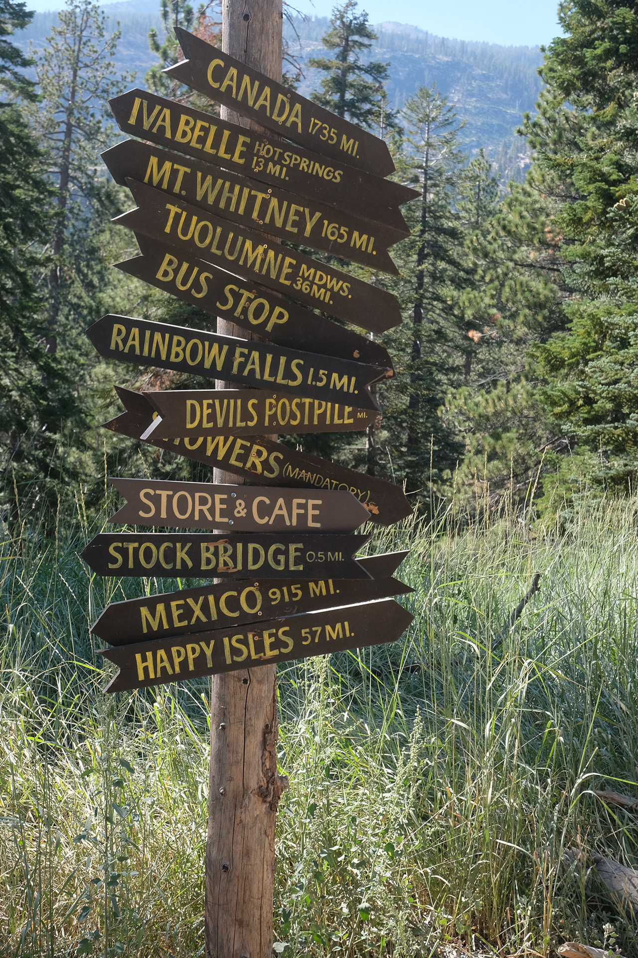
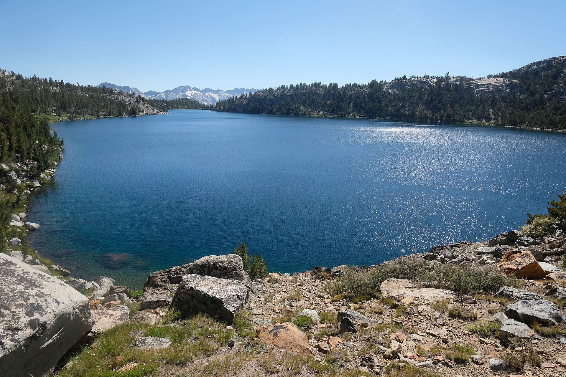
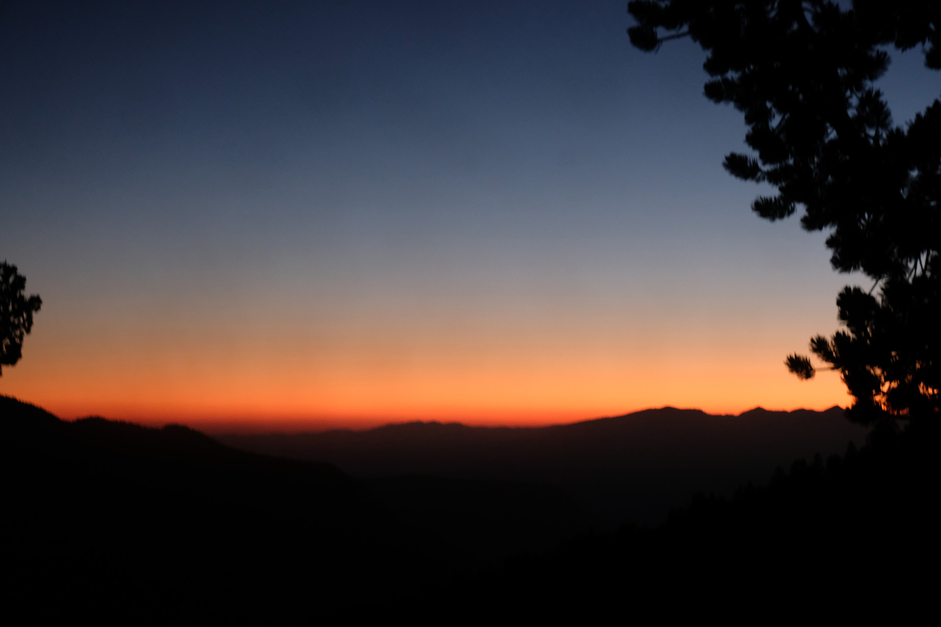
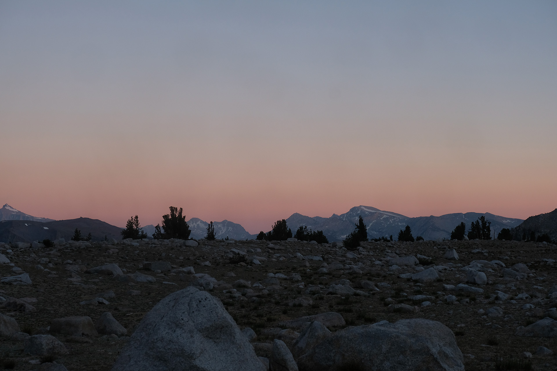
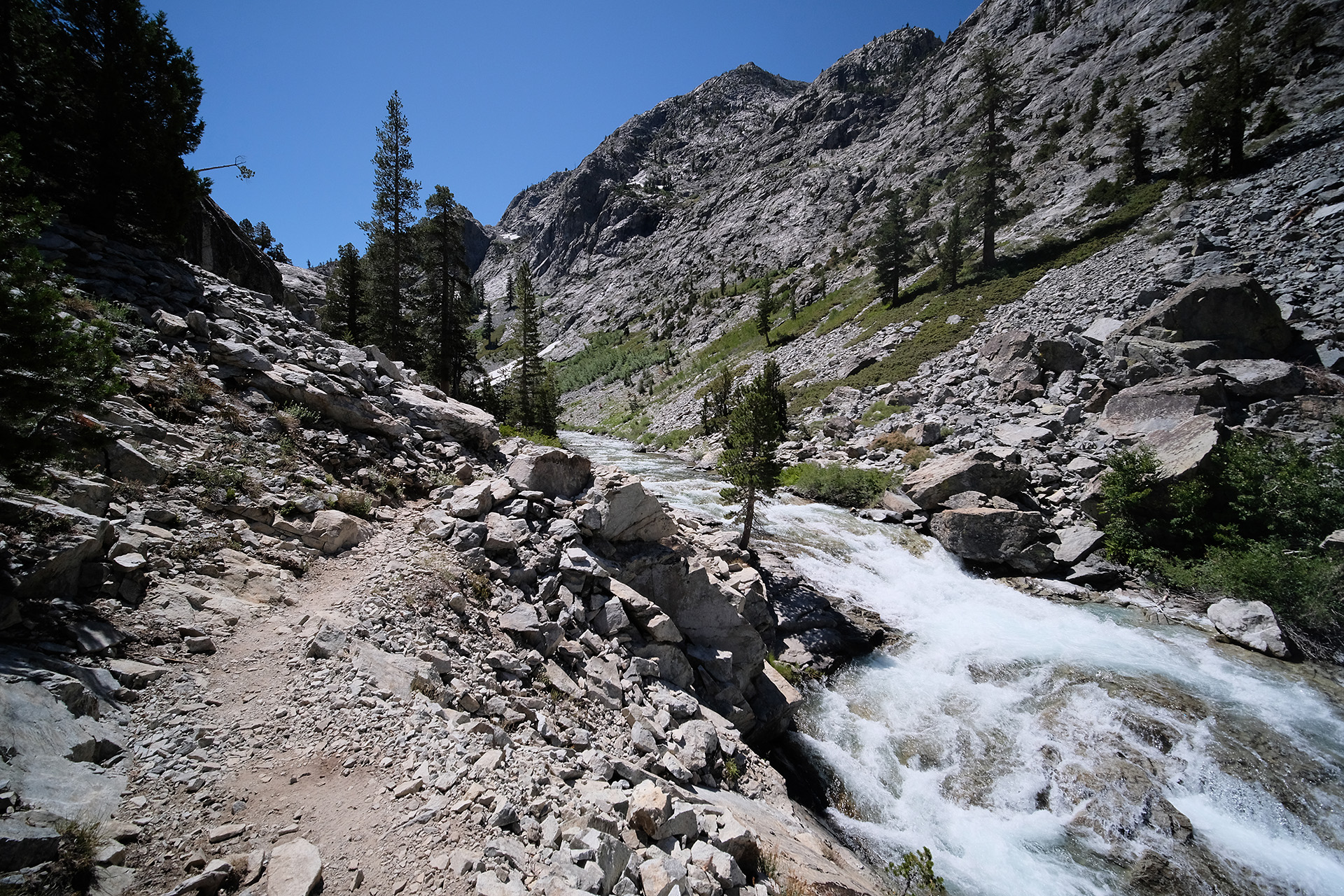
Now I was in the Yosemite Valley. My priorities were:

    • get the YARTS bus to Fresno leaving around 4 pm
    • have a shower and fresh clothes
    • eat lunch

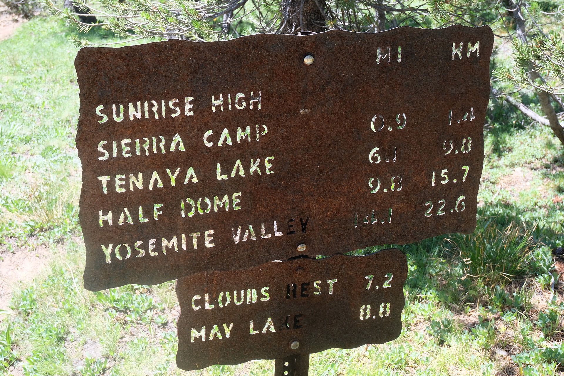
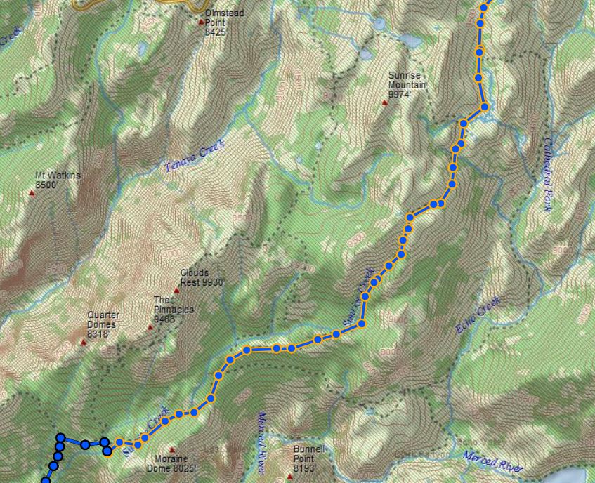
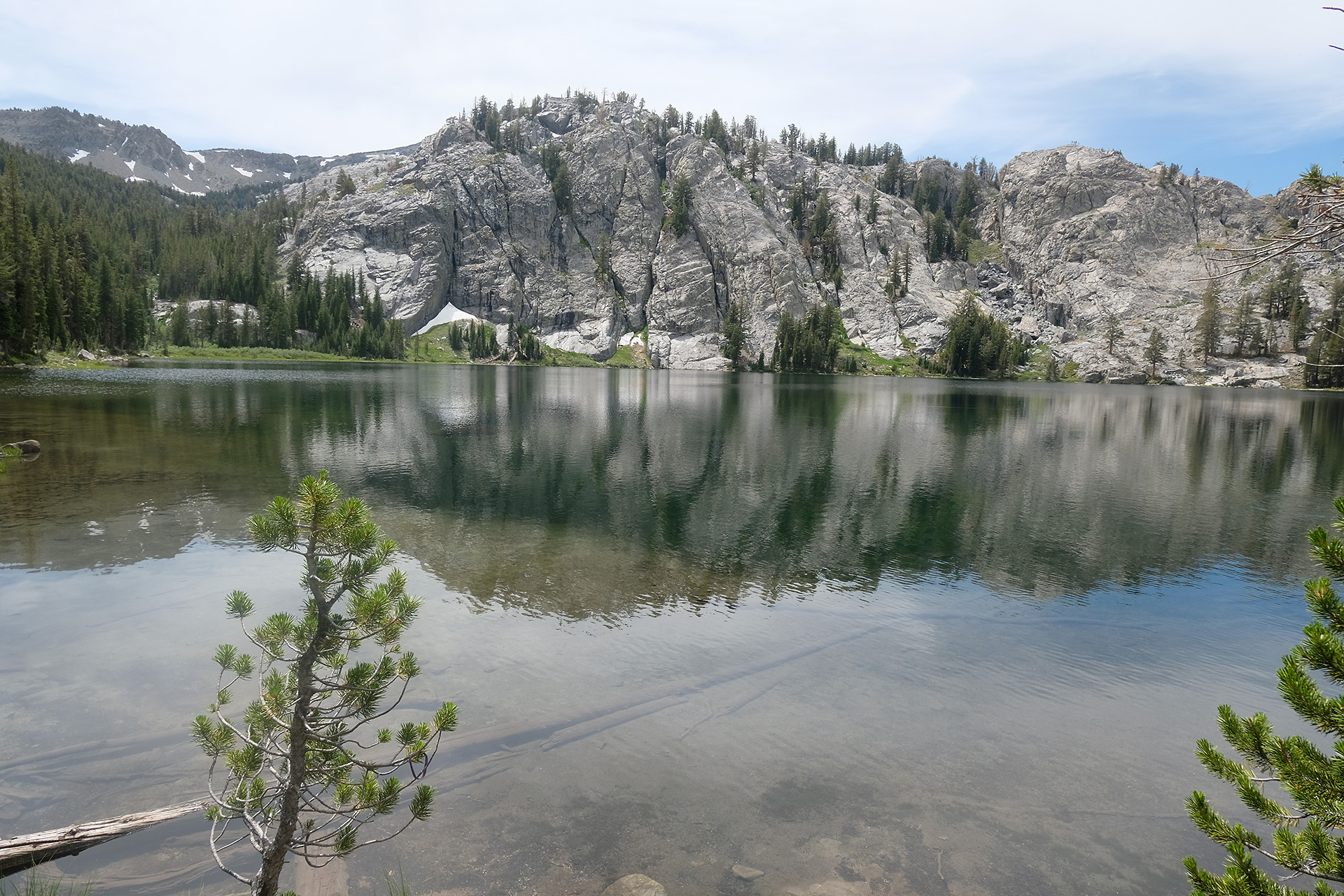
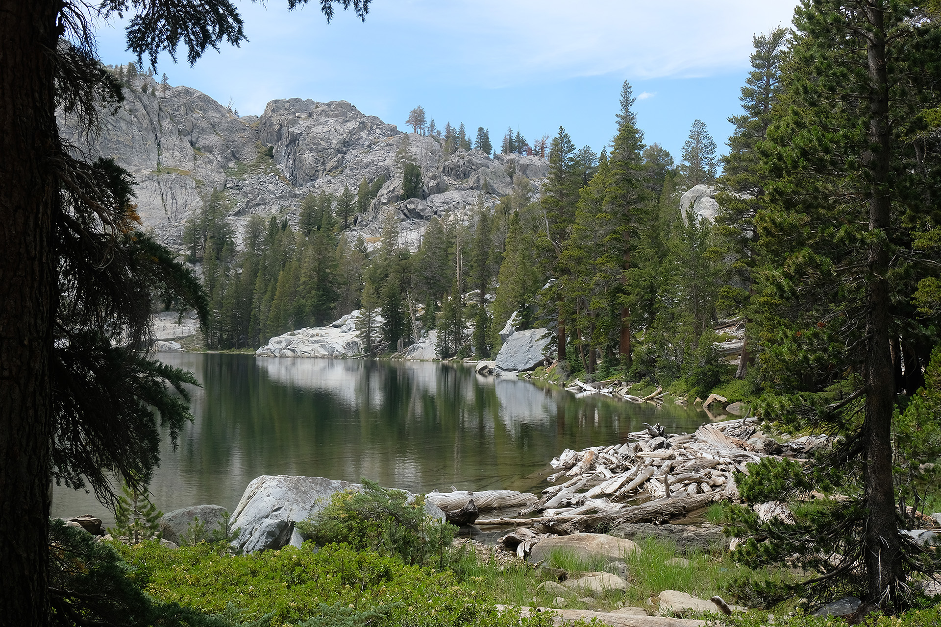
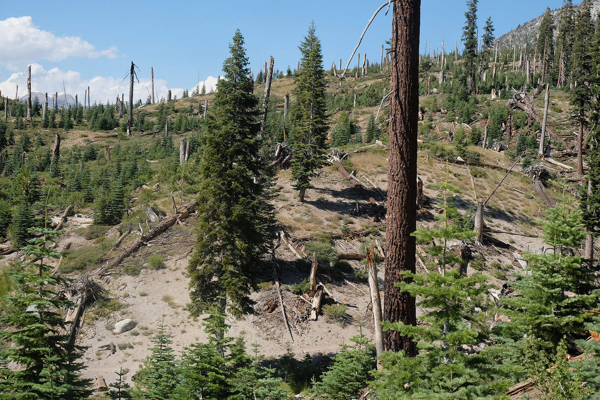
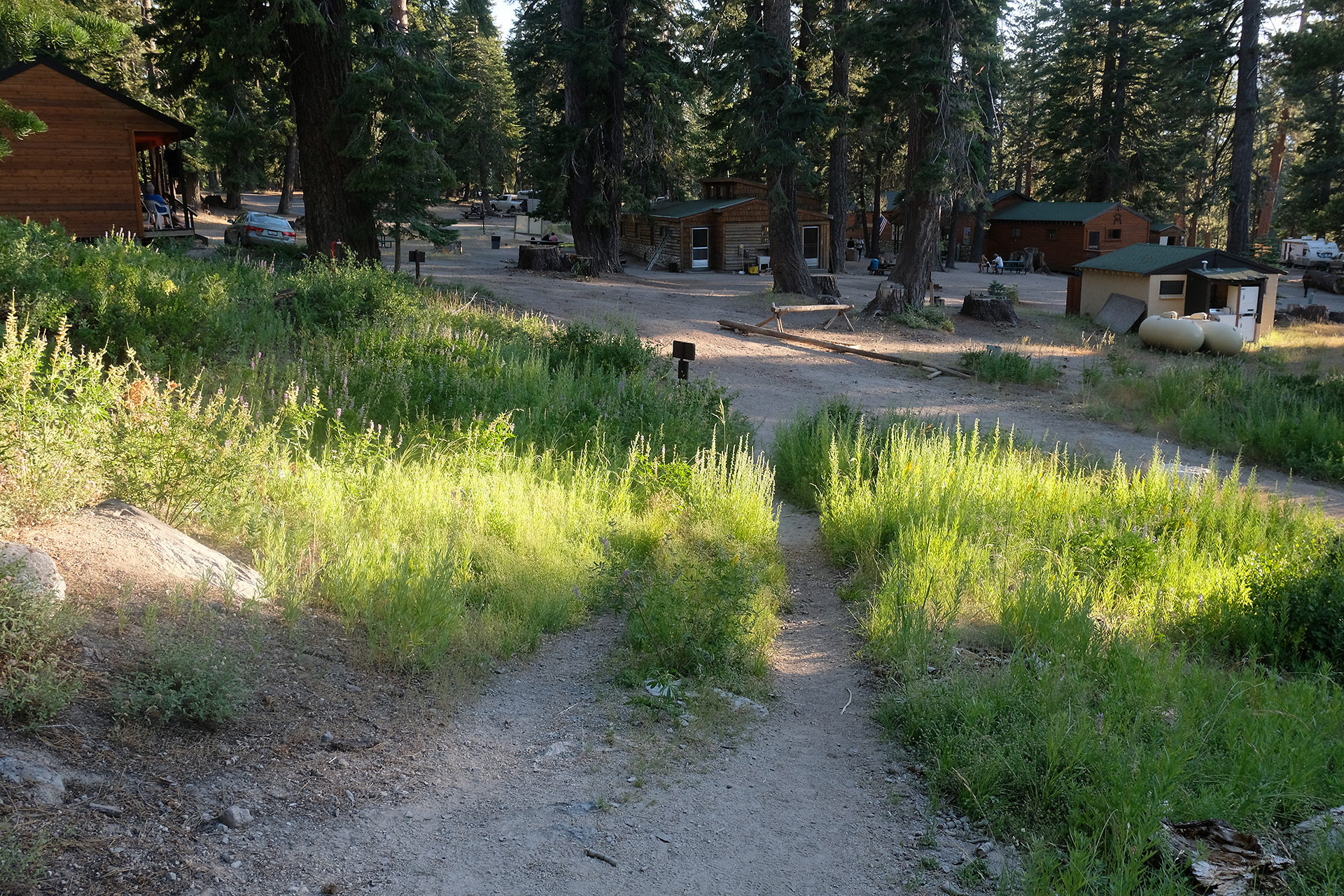
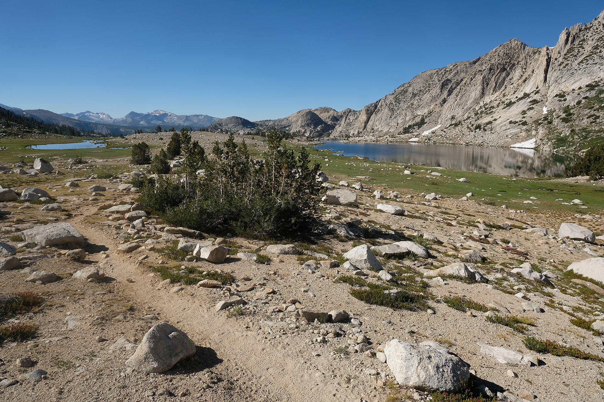
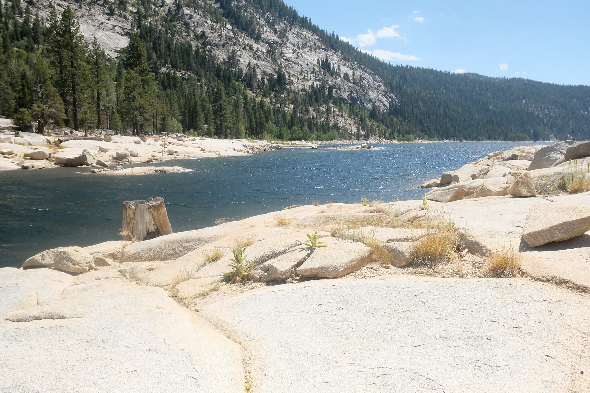
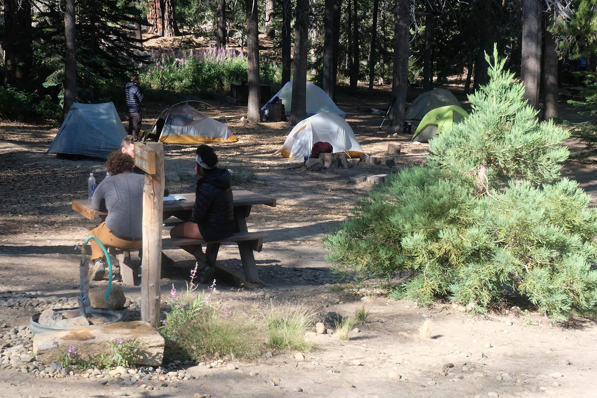
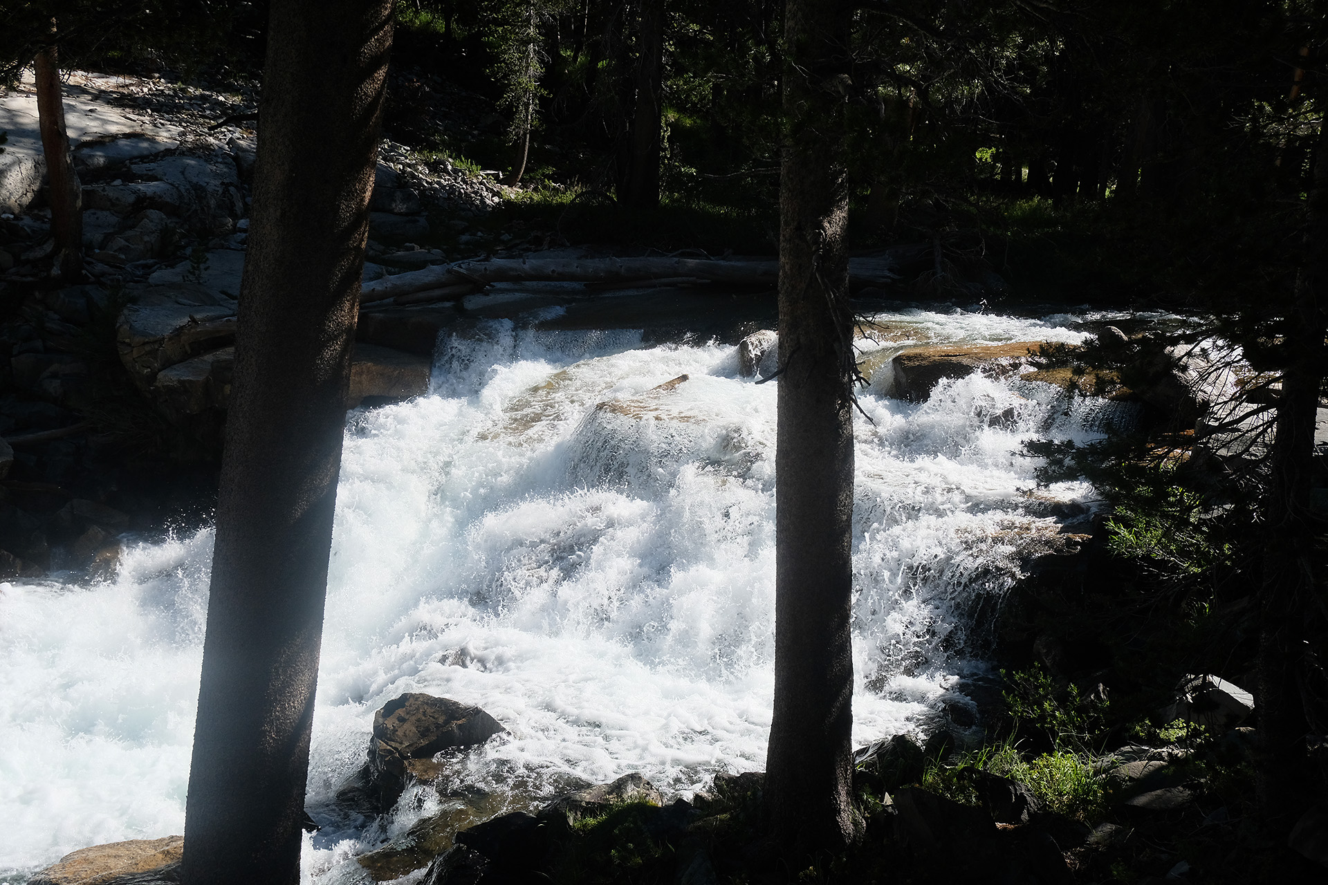
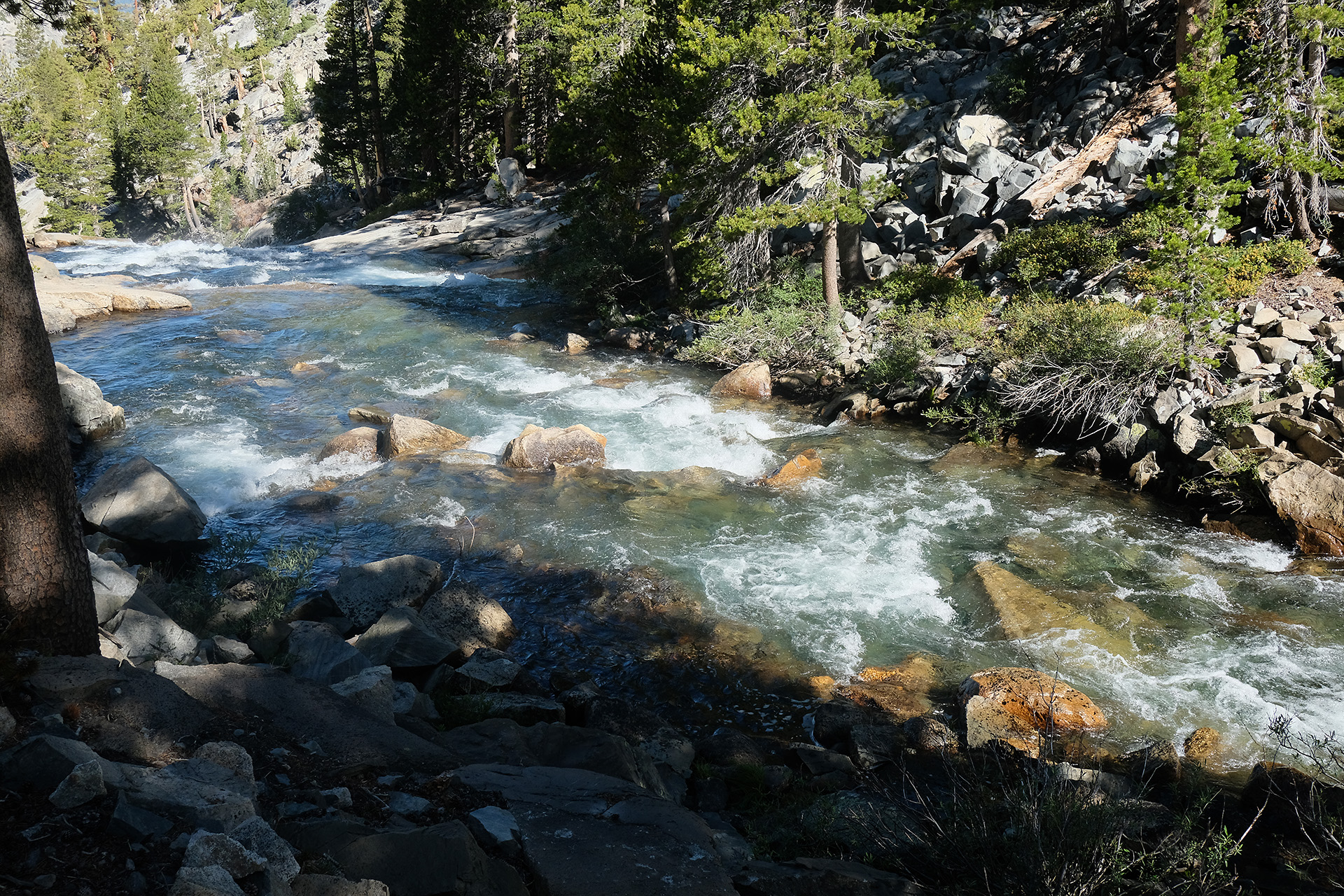
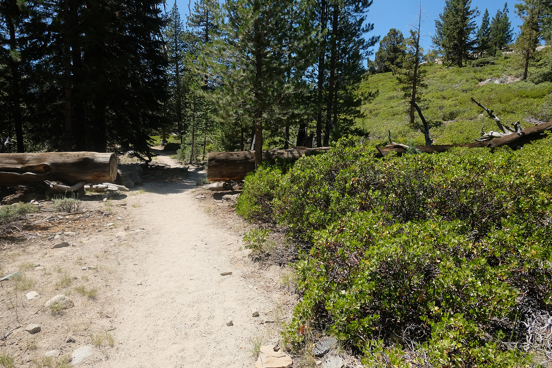
I had still nearly 3 hours until the bus left. But the valley is a vast area for a hiker, and I did not have a plan where to go exactly. There is a free shuttle bus going around a loop of maybe 4…5 miles, for which it needs nearly half an hour with all the stops. The bus loops anti-clockwise only.

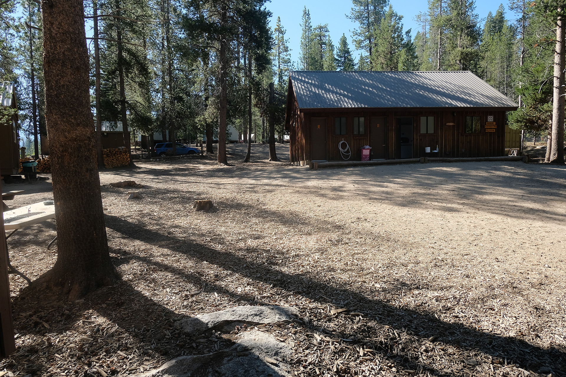
I hopped on the next one that arrived and asked the driver where I can have a shower – he told me the “Housekeeping Camp” had showers open for everyone. Some 20 minutes later the bus arrived there, and another 10 minutes later I had located and walked to the shower house. For 5$ I could use the shower as long as I wanted, and got soap and a towel. So I fetched all I needed out of my pack, and quite some time later felt new-born in fresh clothes and with all the dirt removed from my skin and hair.

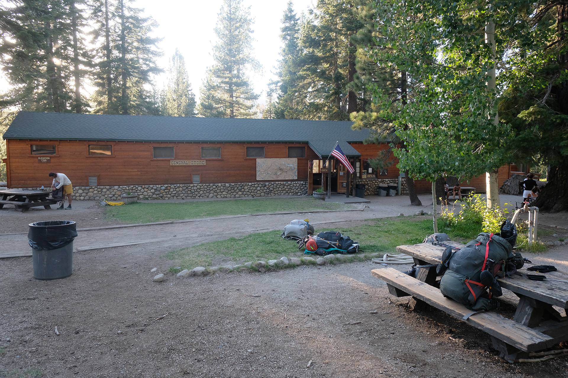
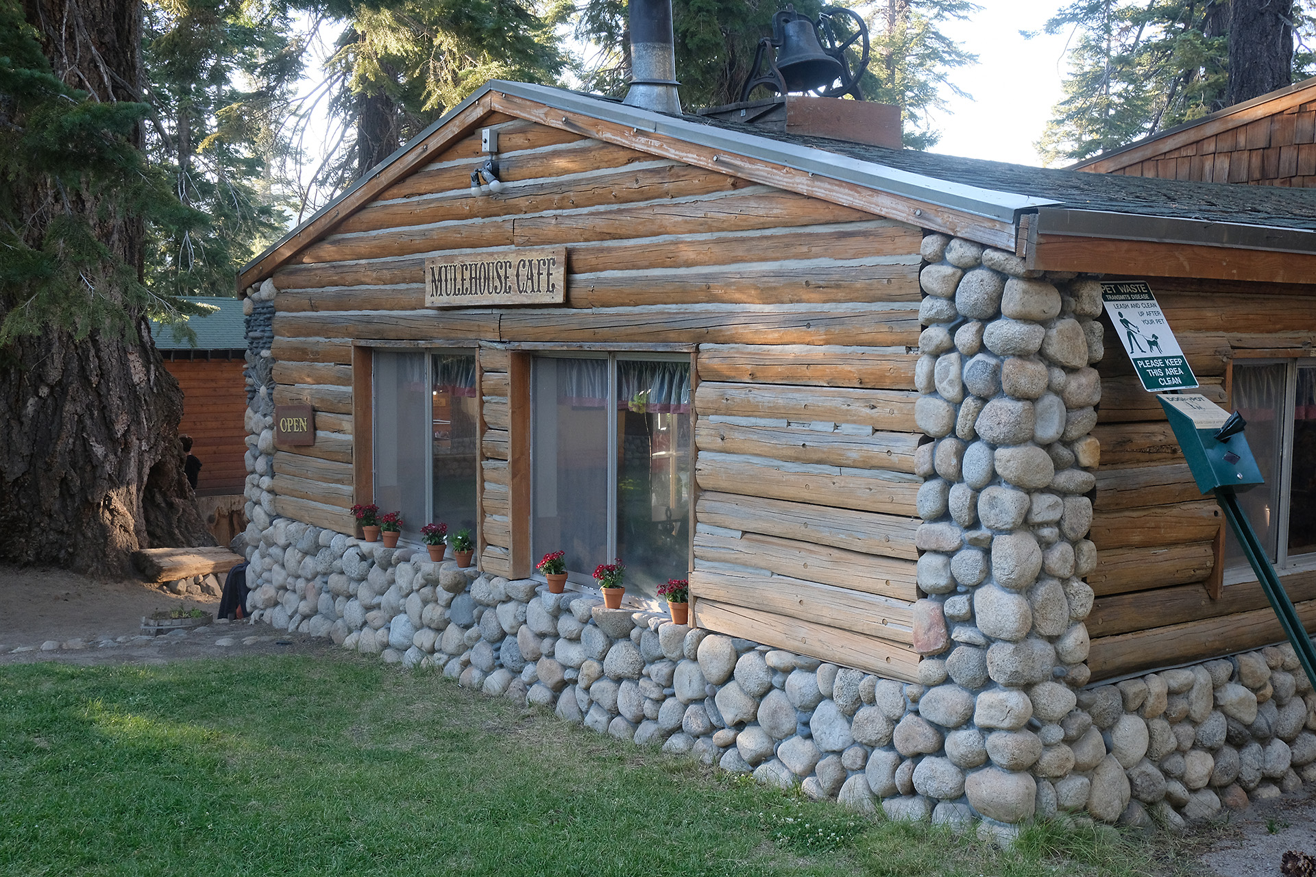
I hoped that I could get my lunch from the camp’s restaurant but it was closed at this early afternoon hour. Therefore I decided to got to Yosemite Village where the YARTS bus would depart from the vistor center, and where I would find other facilities too. This was just two stops away from my present location, but two stops clockwise. Instead of having another nearly full loop with the shuttle I walked there, but needed about the same time, it was more than a mile. Then I searched another 15 minutes where the right place was, until I found out that the YARTS bus uses the same bus stop as the shuttle bus – but there was no “YARTS” sign telling this.

Not so much time left now. I went further into the village looking for a shop, and finally found the little mall. There was a food market and also a burger grill. I prefered only to buy some food from the market and then walk back to the bus stop. I did not want to miss the bus though there was another run 1h 40 min later, but then I would arrive quite late in Fresno.

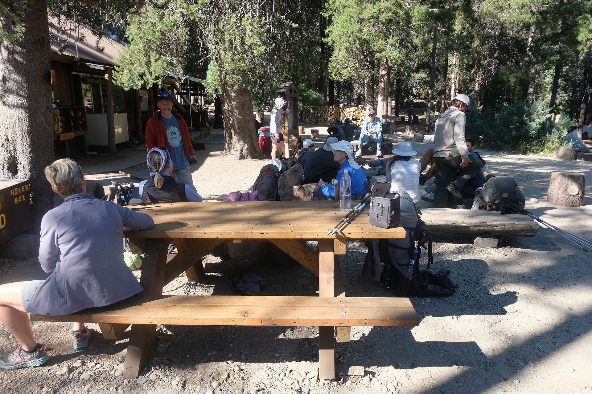
At the bus stop I met the two hikers with whom I had camped last night and who waited for the same bus to Fresno, and also the Miami girl I had left in Tuolumne Meadows two days ago – she had made it too in time and now took the bus to Reno to fly home. So we did some handshakes and good-byes. The bus arrived in time, it was clean and only half filled, and the driver was a nice guy.

We needed 4 h until Fresno, stopping at several places. I could buy a hot dog at one of these stops. Cellphone coverage improved as we approached the Fresno area. The bus run ended at the airport. From there I first had to walk out of the airport area and then continue one block further where I had a room reservation in the Best Western Plus airport motel. It felt a bit strange to stand in the lobby in shorts with a backpack.

I got my room and found out that it had a tub in the bathroom – great for tomorrow morning! But now I was hungry. I had seen a subs shop close to the parking lot, but when I arrived there it had just closed, at 9 pm. So I went to the next shop, a Little Caesar pizza take-out.

The next morning I slept in, then took a bath and went down for the breakfast which was really good. Then I walked back to the airport to claim my rental car. The procedure went faster this time as they had my data already in their system from my last rent. I drove the car to the hotel and went back to my room. I used the bath tub to clean the leaking Thermarest matress, in order to return it to REI in LA. Finally I packed everything and checked out.

The drive back to LA needed more time than expected; I had a lunch break, and the navigation system of the car – a Garmin unit – sent me to a wrong place. But with the smartphone app I found the B&B in Santa Monica. Some shopping, a dinner with the landlady, and after breakfast next morning a short drive to the LAX airport ended my journey.

JMT 23. 8. 2019 – Clouds Rest Trail junction to Happy Isles – 6.6 miles

(all images are clickable for a larger version)

The last day!

It was both the relief that I would finish the full trail in time, but it also means a good-bye. I started around 8 am. After half a mile I met the Half Dome Trail junction and then walked down the switchbacks. More and more day hikers came up the trail, and there was a large share of German and other European people.

While until yesterday everyone I had met greeted with a “howdy” or similar this was now over. It was more a highway than a trail. A bit after 10 am I crossed the Merced River over the Nevada Fall Bridge.

Later the trail even became paved for whatever reason. More and more and more day hikers. It felt strange after 3 weeks of relative solitude.

And finally I was down at Happy Isles! I searched for the well-know sign that lists all the trails, including the JMT, but did not find it. So I had to walk back a bit because I had passed it already while it is difficult to spot from its back side on the way down. And it was difficult again to explain to those helpful youngsters I had asked to shoot a photo how to use a real camera, they only knew their smartphones.

And here it is, the final photo of my 2019 JMT thru-hike!

JMT 22. 8. 2019 – Lower Cathedral Lake to Clouds Rest Trail junction – 12.4 miles

(all images are clickable for a larger version)

Two third today, one third tomorrow – this was the plan for the remaining 19 miles. In the morning the trail still went up a bit from 9.300 ft to 9.800 ft over Cathedral Pass, but it did not really feel like a serious pass.

After the Sunrise Lakes Trail junction (9.300 ft) the trail went up a bit once again to 9.700 ft.

This was the last uphill on the trail! From now on I just had to walk down into the Yosemite Valley. In the afternoon I entered an area where in 2014 a lightning-induced big wildfire devastated the forest. Only 5 years later there were not yet new trees, other than in the burn area south of Red’s Meadow, but the ground was covered with scrub.

When the burn area finally ended, the trail followed the Sunrise Creek going down continuously.

Close to the junction with the trail to Clouds Rest I saw a campsite a bit below the trail, and someone waving to me. I went down and found those two hikers I had met regularily in the past days, because they walked a bit faster but had more breaks so that we traveled at about the same schedule overall. They were from Fresno and had started at Red’s Meadow for a one-week hike down to Yosemite valley.

I set up my tent at 7.300 ft – it was around 6 am, and we were only 6.6 miles from the trailhead in Happy Isles which should be easy enough for tomorrow. Another group arrived a little later. We had a campfire and talked a lot, and later in the tent I found that there was even cellphone service. Obviously I was nearly back into civilization.

JMT 21. 8. 2019 – Lyell Fork over Tuolumne Meadows to Lower Cathedral Lake – 14.9 miles

Today, on Wednesday, I had to decide: stay at Tuolumne Meadows campground and take the bus to Yosemite Valley, or continue the JMT. My whole plan for the return depended on the YARTS bus ride to Fresno on Friday afternoon. To allow me some margin on Thursday and Friday I needed to come closer than 20 miles to Happy Isles until this evening if I wanted to walk there. My hope was for an easy trail today through Lyell Canyon.

I started around 8 am from my camp site at 9.800 ft and reached the flat part of the trail at 9.000 ft around 9:30 am. And indeed, this was a really nice trail now!

During the walk I met my Swedes again who passed me around noon, also two hikers from Fresno CA who had started from Red’s Meadow, and a girl from Miami FL joined me for some time as she was walking the same (slow) speed.

Around noon I met another mule train, and later a pair of rangers checked our permits. One could easily feel that we were coming closer to civilization, the trail got wider, and bridges became really beautiful.

At 2:30 pm we arrived at the Tuolumne Meadows lodge, but needed nearly another hour to reach the general store and grill at the Tioga Road (Hwy 120). Meanwhile we were a group of four, the Swedes, the girl from Miami and me. We all ordered food at the grill, and I saved a plastic spoon for my trail kitchen.

After an afternoon lunch and a visit to the restroom I said good-bye to the other 3 and continued along the highway 120 until the JMT split off: now I knew I can make it.

After walking 15 miles today I set up my tent only 19 miles from Yosemite Valley. It was a bit before the Cathedral Lakes but on a site which obviously was intended for camp.

I prepared dinner, and while browsing through the remaining content of the bear can I found there my long titanium spoon – in fact I had never lost it.

JMT 20. 8. 2019 – Garnet Lake over Island Pass and Donohue Pass to Lyell Forks – 11.8 miles

(all images are clickable for a larger version)

When I woke up and left the tent around 6:45 am the air was quiet and the lake crystal clear like a perfect mirror, reflecting the mountains in the first rays of the sun. An hour later some turbulence had restarted and distorted the surface.

During breakfast my tent neighbours came out, and we began to talk about lots of topics, including the recent development of the political situation in the US. So I left later than planned, around 9 am. The tent was still wet then from the high humidity close to the lake.

The trail went with some ups and downs along Ruby Lake and Emerald Lake to the beautiful Thousand Island Lake (9.850 ft).

Here the JMT and the PCT which had split at Devil’s Postpile reunite, before the trail continues 1.5 miles to Island Pass (10.200 ft). This pass is so small that you barely notice it.

But the real pass today was Donohue Pass, the last one over 11.000 ft on the hike. I did not like those 5 miles from Island Pass to Donohue Pass, my feet were tired and the trail often full of stones.

Finally a bit before 5 pm I had reached the pass. Just lots of rocks and two signs that told me I leave Ansel Adams Wildernis and enter Yosemite Wilderness. Both could need some restoration…

Now I tried to add as many miles as possible, but the trail often was not good for walking. After fording through Lyell Fork I met again my swedish friends who had set up their camp, but I continued for another hour. The trail went along the west slope of the valley on rocky terrain with some creek crossings, but got better later. When I found a camp site at 7:30 pm I called it a day though I had made less than 12 miles.

While I prepared dinner I did not find my long titanium spoon! – so I must have left it where I had my lunch break and used it to put some hydration mix into the water. It turned out that eating without a spoon is quite difficult…

JMT 19. 8. 2019 – Devils Postpile to Garnet Lake – 11.8 miles

(all images are clickable for a larger version)

The race to reach Happy Isles in time has started. So I was up a bit earlier, also because my new Therm-a-Rest Neoair matress started to leak too, and left my camp site around 8 am. I skipped the Devil’s Postpile NM and continued my way to north. The trail went up from 7.700 ft to 9.700 ft during 6 miles.

Then it went down again to Rosalie Lake (9.350 ft) and later in switchbacks to Shadow Lake (8.800 ft).

I followed along the Shadow Creek to west until the trail bent again to north and went uphill to the crest at 10.100 ft.

Walking down the view opened on the beautiful Garnet Lake (9.700 ft). The trail goes around the east of this lake, and there was a camp site directly at its shore, with two tents already set up. I put mine aside as it was already 7 pm.

In the night I tried some shots on my illuminated tent, with the starry sky and the light of the full moon in the background.

JMT 18. 8. 2019 – Duck Lake Trail junction over Red’s Meadow to Devils Postpile – 14.3 miles

(all images are clickable for a larger version)

Today I was ready at 8:30 am and started versus Red’s Meadow. But I missed a 180° bend of the trail and walked instead on the Duck Lake Trail. After 0.2 miles uphill I recognized my mistake, and U-turned. So it was 9 am when I crossed the Duck Lake outlet on those permanent logs forming kind of a simple footbridge.

One could easily see that the trail was becoming more and more comfortable on the way north, with all these logs and bridges, compared to the fords and cobbles in Kings Canyon NP.

Today the trail went down continously from 10.200 ft to 7.600 ft. In the early afternoon I crossed the Crater Creek on a similar log bridge and went from the John Muir Wildernis into the Ansel Adams Wildernis. Now I had to double my photographic efforts!

After a long switchback one has a good view into the terrain until Red’s Meadow. A good part of this area has been devastated by the Rainbow Fire in 1992. Nature is still in the process to recover.

I reached the Red’s Meadow Resort around 4:30 pm. It felt a bit strange to see an asphalt road and a bus stop after 20 days in the wildernis.

I went to the General Store and claimed my resupply bucket. Most people around were resort guests or dayhikers, easy to spot in their clean clothes. When I started to empty my bucket on one of the tables Sandra and Carl, the swedish couple, appeared – they had arrived a bit earlier. They told me that they would stay on the resorts camp site tonight.

I refilled my bear can, put the extra set of clean T shirt and pants for the post-hike to the bottom of my pack, and exchanged batteries and toiletries. The gas cartridge I had bought at VVR was still sufficient until Yosemite valley.

Then I went to the Mulehouse Cafe, ordered a Burger and Cola, and had an early dinner. After that I went to the shower house and washed away the dirt of the past two days. I had a view on the campsite which was 10 mins off the resort, but an unfriendly custodian, coupled with a price of $23, frightened me off. The shower and the caffein had given me a push, and so I decided to continue some miles.

All in all I had felt very welcome at VVR and enjoyed my stay though the price tag was a bit high, while here at Red’s Meadow I felt just tolerated as a 2nd class guest. I recommend to skip it or stay only a short time as I did.

Lots of signs – but don’t follow the one to Happy Isles, it will not lead you directly back to the JMT! – I should have chosen “Stock Bridge” but had not studied the map enough. After  running back and forth I simply took the way I had come from. Even then I had to search how to continue as the sign to “JMT north” had been broken off at the junction. I found the right trail out of several only with the aid of the Guthook app.

So it was late until I really started, and I had sunlight for about one more hour. The trail went trough Devils Postpile NM where they ban camping in general with only few allowed places. Thus I had to night-hike until 9 pm with my headlamp, to reach a spot which may not really have been legal but at least was on the side trail to the ranger station (“camping is allowed at the established camp sites close to the ranger station”). And noone passed by until I left next morning.

Today I made my best distance, including the side walks at least 15 miles, and  in spite of my 2.5 h stay at Red’s Meadow Resort. With 57.5 miles left for 4.5 days I must continue to keep my pace.

JMT 17. 9. 2019 – Silver Pass Lake over Silver Pass to Duck Lake Trail junction – 10.2 miles

(all images are clickable for a larger version)

In the morning the lake’s surface reflected the mountains. I started around 9 am, and a good half hour later I reached the pass. No snow on the trail.

Form the pass (10.750 ft) I walked down along several small lakes to the Fish Creek Trail junction at 9.100 ft where I arrived a bit after noon. Then it went up again, after Tully Hole (9.600 ft) in switchbacks until 10.500 ft.

I passed the beautiful Lake Virginia (10.300 ft) in the afternoon, and later the Purple Lake. The trail always went up and down a bit.

Finally I set up my tent close to the trail in an area with big rocks everywhere on a place I had found in Guthook JMT, directly at a west hillside but well protected against the wind. So I had a beautiful sunset. It was half a mile before the Duck Pass Trail junction.

I recalculated my mileage. 70.7 miles left until Happy Isles, and only 5.5 days. I had to speed up and make an average of 12.9 miles a day if I wanted to reach Yosemite valley around noon on Aug 23. And there were still some passes to cross: Island Pass (10.200 ft), Donohue Pass (11.100 ft), and Cathedral Pass (9.700 ft).

JMT 15. + 16. 8. 2019 – Bear Creek to Edison Lake / VVR – 6.3 miles – Edison Lake / VVR to Silver Pass Lake – 6.8 miles

(all images are clickable for a larger version)

VVR (Vermillion Valley Resort) is approaching!

This will be the first time since my start more than two weeks ago that I will have more contact with civilization: food, beverages, shower, laundry.

Starting relatively early at 7:30 am I had plenty of time to reach the lake shore in time for the ferry, which arrives there around 4:30 pm. I walked from the tent site (9.250 ft) up to 9.900 ft and later down in switchbacks to 7.900 ft.

After the footbridge across Mono Creek I took the trail to Lake Edison. It was partly quite swampy and not well maintained but just a bit over a mile until I reached the small turnoff to the ferry landing.

I arrived at the lake before 2 pm and used the extra time to enjoy a swim in the lake. The water was quite warm and such a nice feeling after more than two weeks without a real bath. I stayed there until 3:30 pm, lying in the sun on the warm granite blocks and drying myself and my clothes.

Then I walked another short stretch to the ferry landing where already a group of hikers had gathered, waiting for the “Edison Queen”.

And there it came, our watertaxi! Just two people wanted to leave this afternoon, but after we had boarded the ferry was nearly full. Among the passengers was the swedish couple I had met first at Kearsarge Pass, and several times on trail since then. They had stayed two days ago for one night at MTR where I had passed them but they caught up today.

Half an hour later we landed at the western shore of Lake Edison and walked up a short stretch to the resort. There we got a warm welcome and some information, after which we could choose our free cold beverage. Their beer selection was quite broad, and I got a Becks for me – not really my prefered brand but much ahead of those american rice beers.

I set up my tent and then tried to claim my resupply bucket and the parcel from REI. Luckily both had arrived already – they have to drive from VVR some 20 miles to the next village for mail, and do this only about twice a week. But it was quite late until I finally got both. I then also sent the Garmin inReach which I had found in the snow at Forester Pass and carried since then to his owner – another 250 g less in the pack.

During the dinner I made some new friends from southbound JMT hikers which were the vast majority here. After inflating the – hopefully tight – new matress I took the wine bottle and the pringle tubes and went to the fire place. A girl had a guitar with her – carried it on the whole trail – and was singing well known Americana and folk songs while I let the food and wine go round. We stayed long after hiker’s midnight (= 9 pm) and talked until the last went to their tents around 11 pm.

I took photos only the next morning. I then also had my shower and laundry. After breakfast I hurried to take the tent down and pack my backpack to be ready in time for the 9 am ferry when I heard that there are too many passengers for the Edison Queen, and thus there will be two runs, the first already at 8:30 am.

So I had to wait together with the majority of the hikers until 10 am when the ferry was finally back. And it was close to 11 am until I could hike on.

I had forgotten my hat at the ferry landing last afternoon but luckily it was still laying where I had left it. Otherwise it would have been a bad hike without its sun protection.

It was quite hot, and I advanced slowly. So I did not make it really up to the pass though it was only 7.5 miles, but stopped a bit before at the shore of Silver Pass Lake at 10.400 ft. At least I would cross the pass tomorrow morning not too late.

JMT 14. 8. 2019 – Senger Creek over Selden Pass to Bear Creek – 10.6 miles

(all images are clickable for a larger version)

Today I should cross Selden Pass and then advance as much as possible towards the Mono Creek Trail junction.

The trail started in a pleasant way and passed the Sallie Keyes Lakes (10.200 ft). There I met a hiker who had the same pack as I do, the Seek Outside Divide 4500. On the whole trail I have seen only one more person with a pack from SO, who was a ranger.

In a slow ascent I passed then Heart Lake (10.500 ft) which again gave nice views. After Heart Lake the trail went up a bit steeper to Selden Pass (10.900 ft) but without switchbacks. And it was just 900 ft total elevation gain since the camp site – really easy compared to Muir Pass, no snow on trail.

I reached the top around 11:40 am, and stayed there for a short break. The view to the north was beautiful, and perfect weather.

One short snow patch of some 10 feet was all we had to cross on the way down. Then I walked along the western shore of the beautiful Marie Lake, forded some minor creeks, passed Upper Bear Creek Meadows and followed along the Bear creek down to 8950 ft where the Bear Creek Trail goes off the JMT to Mono Hot Springs. It was 5:30 pm then.

I continued one more hour until 6:30 pm, filled up my water bottles (3 l) on the way because it was a dry stretch the next miles, and finally set up the camp. I typically consume 1,5 to 2 l water for dinner and breakfast.

Tomorrow I need to walk only 6 miles to the ferry landing at Lake Edison.

JMT 13. 8. 2019 – Evolution Meadow to Senger Creek – 11.3 miles

(all images are clickable for a larger version)

After a start around 8 am I continued further west, crossing first a tributary to Evoluation Creek, and then the creek itself. Both were easy, at least in the morning.

But the creek showed its force at other places, rushing over small cascades. After about 1 mile some switchbacks led down another 800 ft into Goddard Canyon (9.500 ft). Down there a footbridge traverses the South Fork San Joaquin River, still a small creek at this place.

At the next footbridge the South Fork has grown a lot, with the water from Evolution Creek, and the big steel bridge allows easy crossing even in early summer. The trail followed the narrow canyon always close to the creek. Two mule trains from Muir Trail Ranch crossed my way around noon.

The footbridge over Piute Creek marks the boundary between Kings Canyon National Park and John Muir Wilderness. While it may seem that this is just an administrative matter it really shows some change. Not only the trail signs altered from those well readable dark brown signs with white letters to wooden plates, sometimes quite weather-beaten; also the trail itself changed apparently.

And it got better! Until now it was quite stony – the builders of the trail seemed to have thrown all available stones on the trail, to mark it, or to keep it free from vegetation. It is clear that you have to balance over rocks and stones on the alpine stretches, but very often the trail was stony also while leading just through a forest. My feet often ached. Now the trail became more sandy instead. I also found that fallen trees are better removed from the trail so walking became much nicer.

After I walked down to 7.900 ft the trail started to go up again on the ramp to Selden Pass (10.900 ft). If I had followed the Florence Lake trail instead of the JMT here I would have met the Muir Trail Ranch (MTR) after 1.5 miles which is the first resupply opportunity for northbound hikers.

I had sent my resupply bucket to Vermillion Valley Resort (VVR) 20 miles further, with the idea to maybe have a small extra resupply at MTR out of their hiker boxes which are known to be well-stuffed. But my bear can was still filled enough for the next two days so I decided to save the extra time and skip MTR.

This afternoon I had two little problems: first I suffered from a sudden nose bleeding which forced me into a one hour break, and restart carefully and slowly after this break. And then I had not watched the water situation well enough and found myself on a 5 mile stretch without safe water source, and with just half a liter of water left. Luckily I found a small creek having just enough water that I could refill my bottles – the advantage of a summer hike. In autumn I may have had an issue there.

At 8.500 ft around 5 pm I found this notice on a tree but could not see or smell anything from this fire which had started there 3 weeks ago and was now most probably extinct. This was the only fire notice on the whole hike.

Later I crossed Senger Creek and still went up to 10.000 ft where I set up my camp around 7:30 pm, about 3.5 miles from Selden Pass.