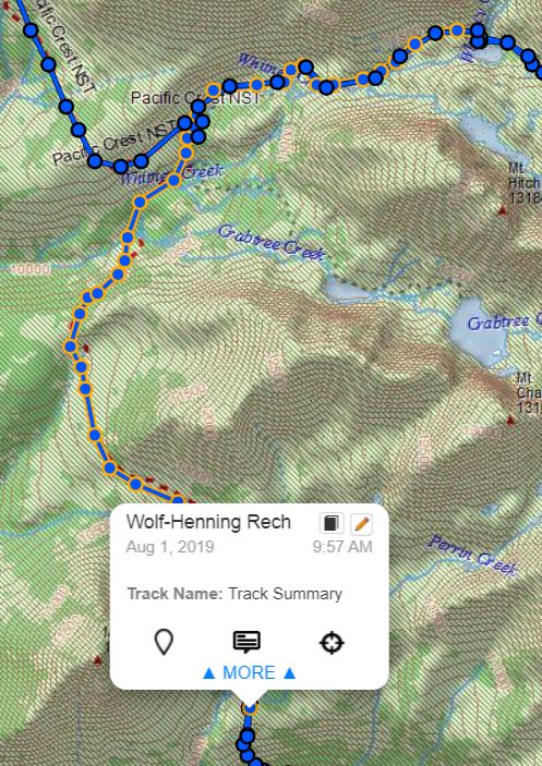
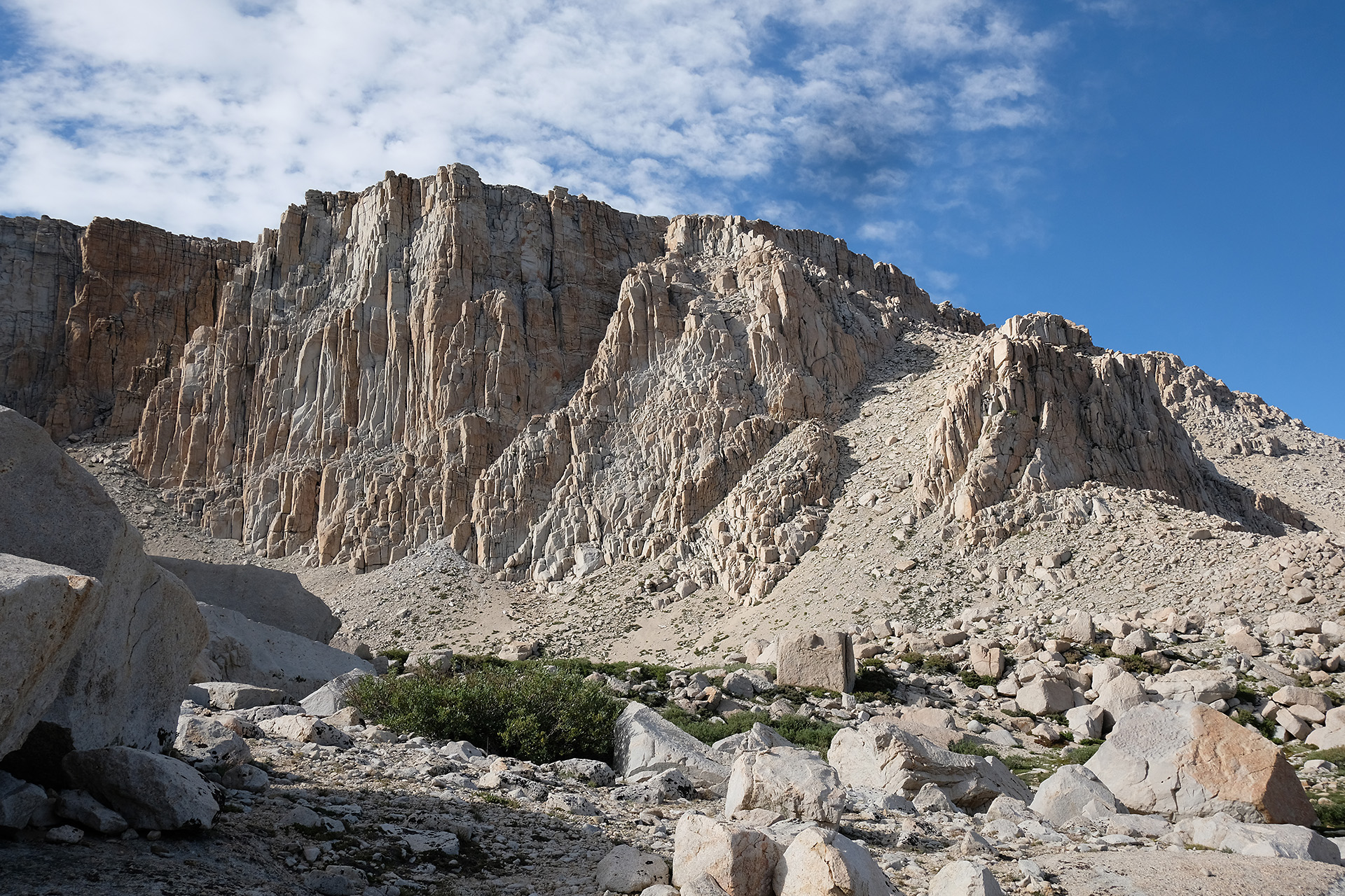
The next challenge on my way to the north was Forester Pass. From Guitar Lake it was a bit too far for me to reach it in one day; my intention was to come as close as possible, for a crossing the next day before noon.
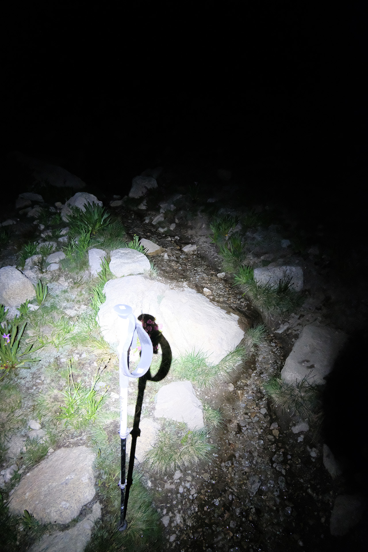
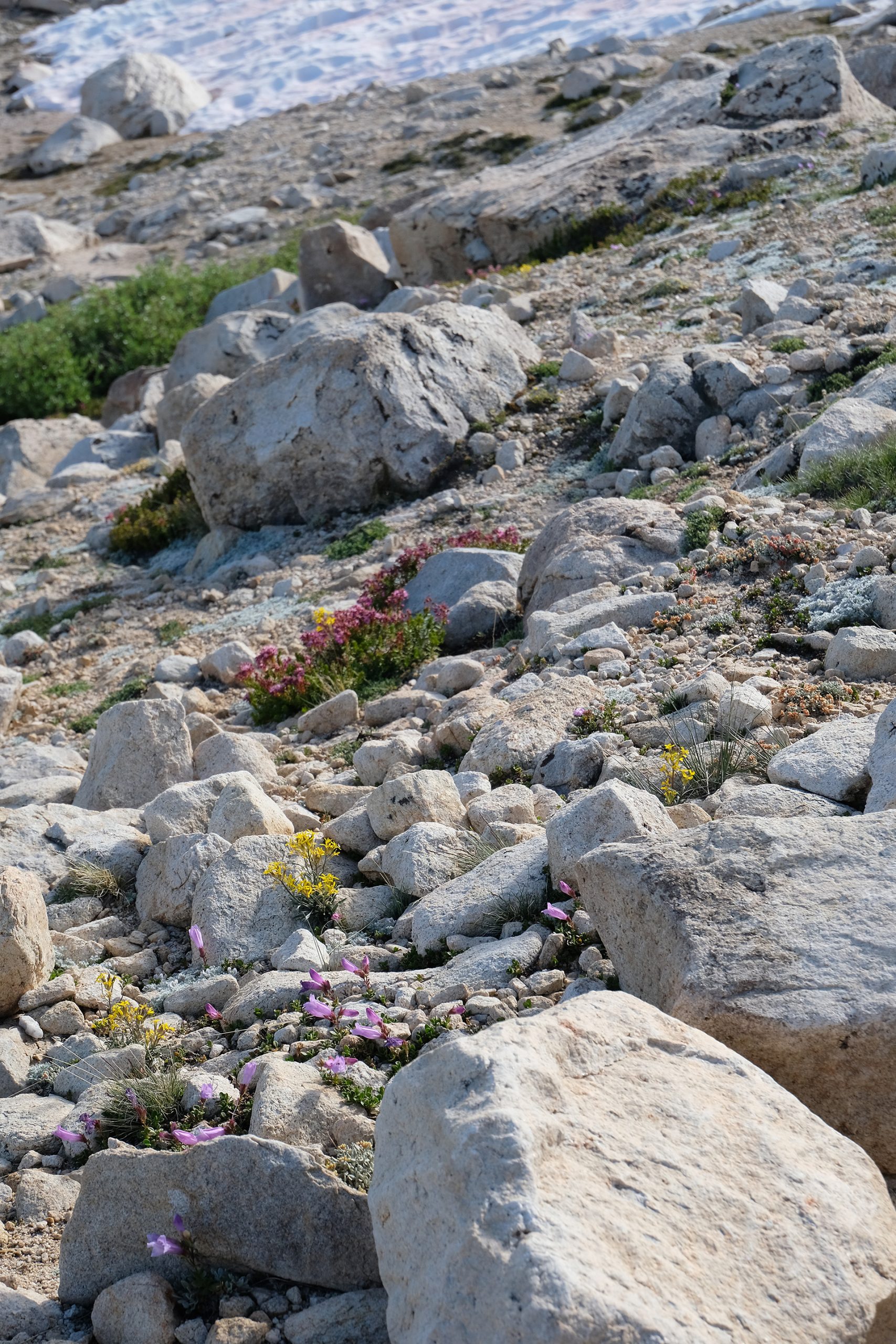
I started around 8:30 pm on the well known trail to Crabtree Meadow through rocks and wildflowers.
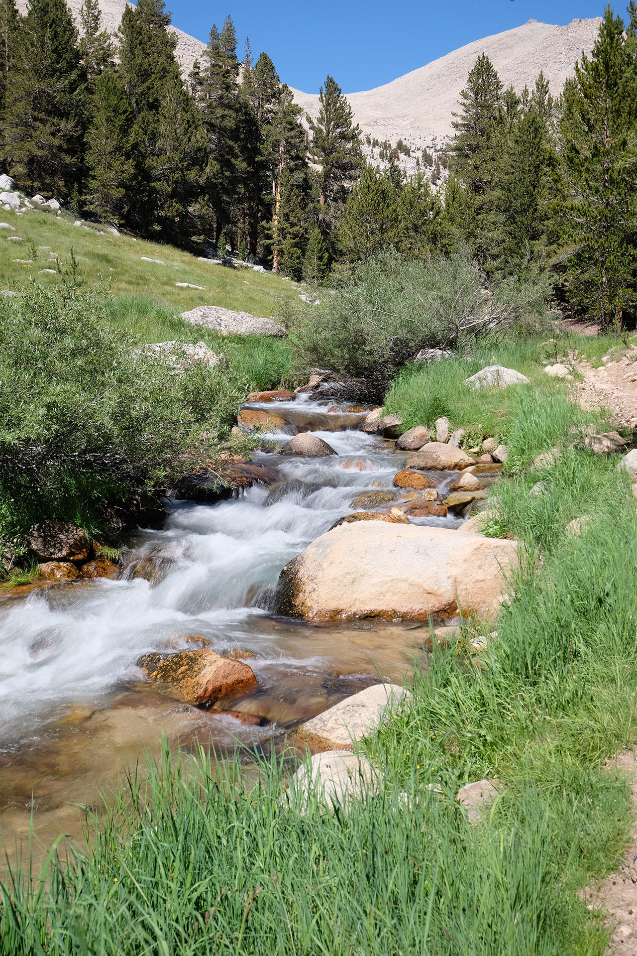
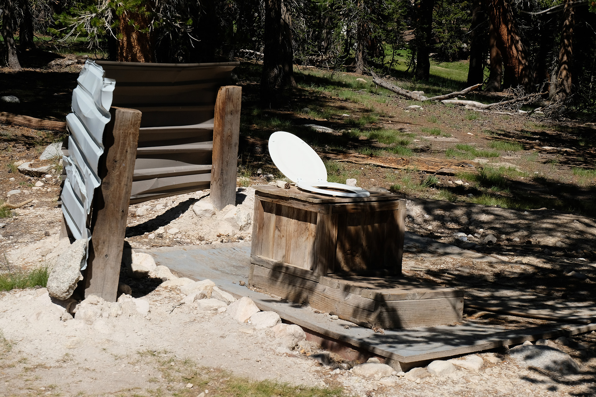
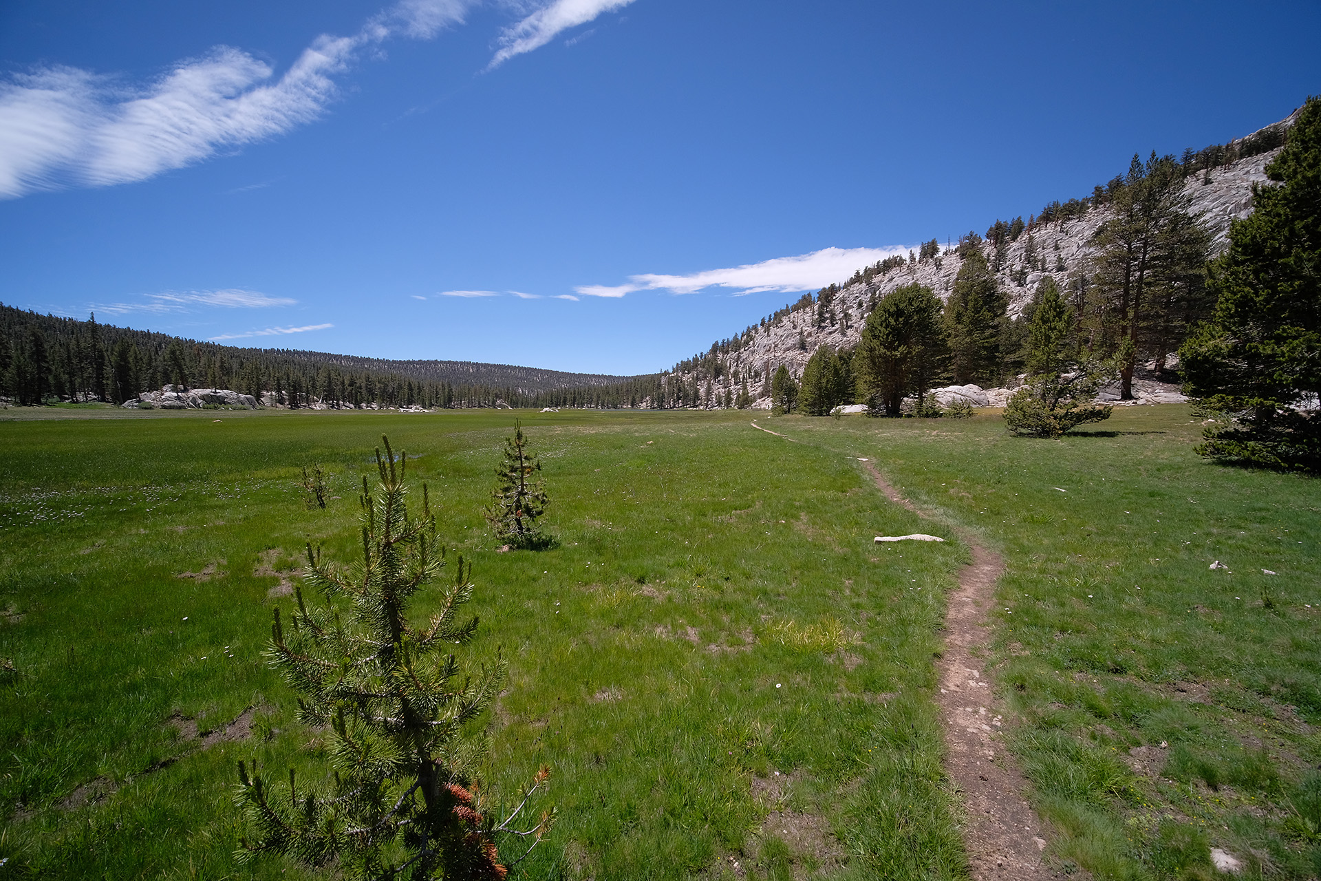
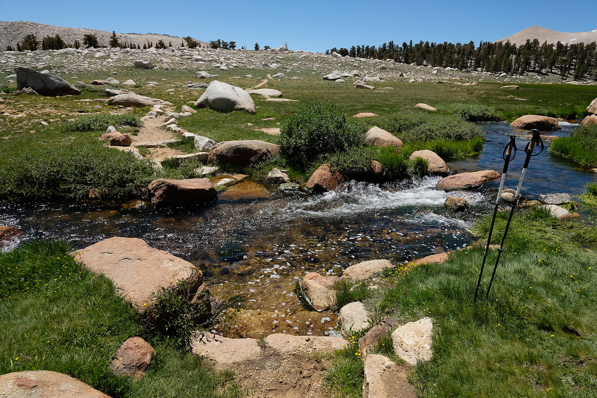
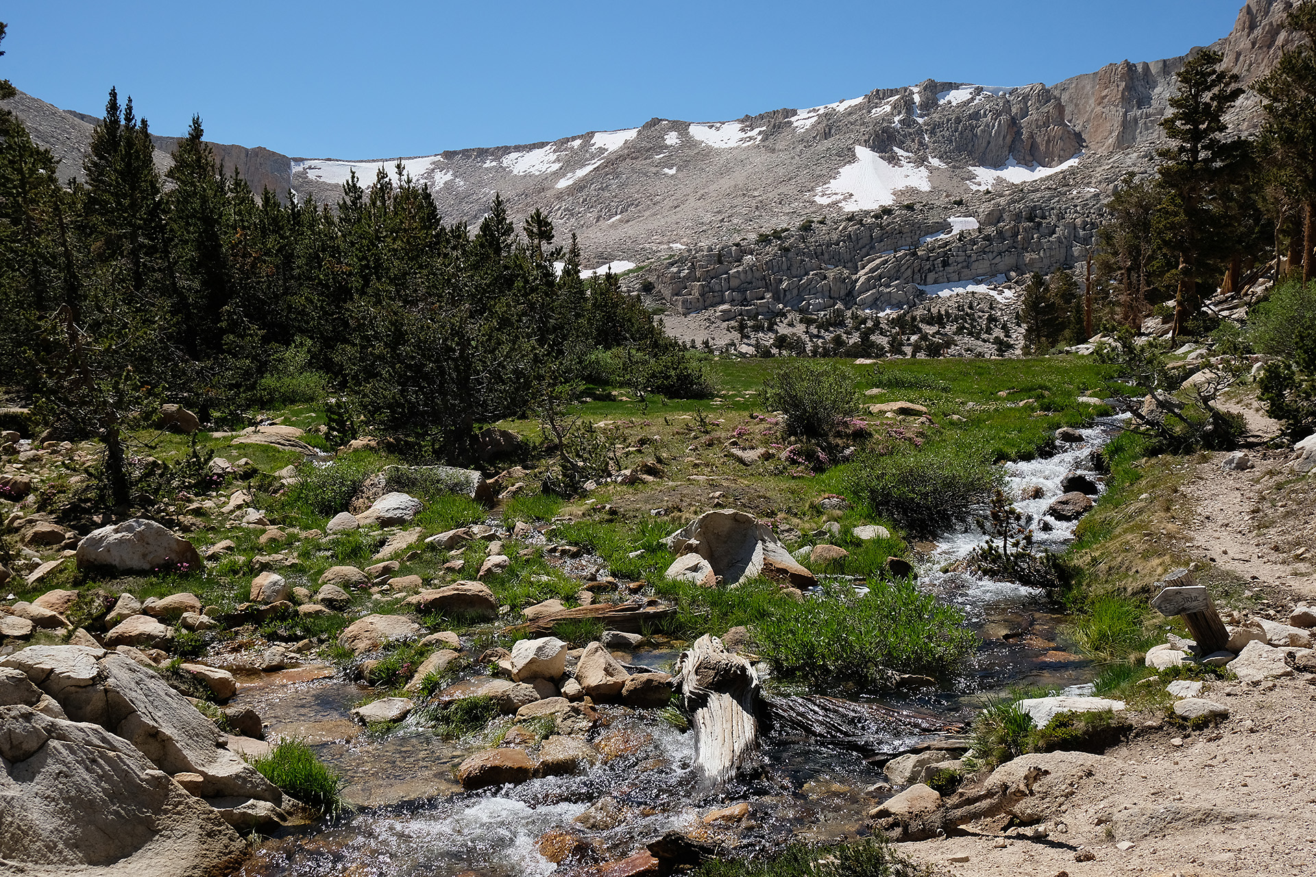
There I used the privy once more, and then followed 0.8 miles further west until the JMT meets the PCT and bends to north. Through Sandy Meadow the trail goes up and down a bit until it descends to Wallace Creek (10.400 ft).
Wallace Creek
After an easy ford I walked uphill again to the Bighorn Plateau (11.400 ft). The second ford, Tyndall Creek (10.900 ft), followed 4.5 miles later. Again no high water though it was already mid-afternoon. I even took photos while crossing.
Bighorn Plateau
Tyndall Creek
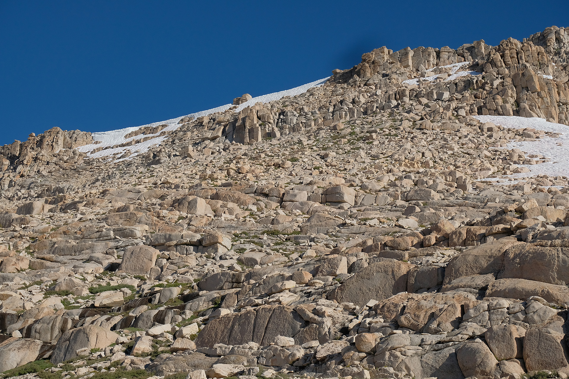
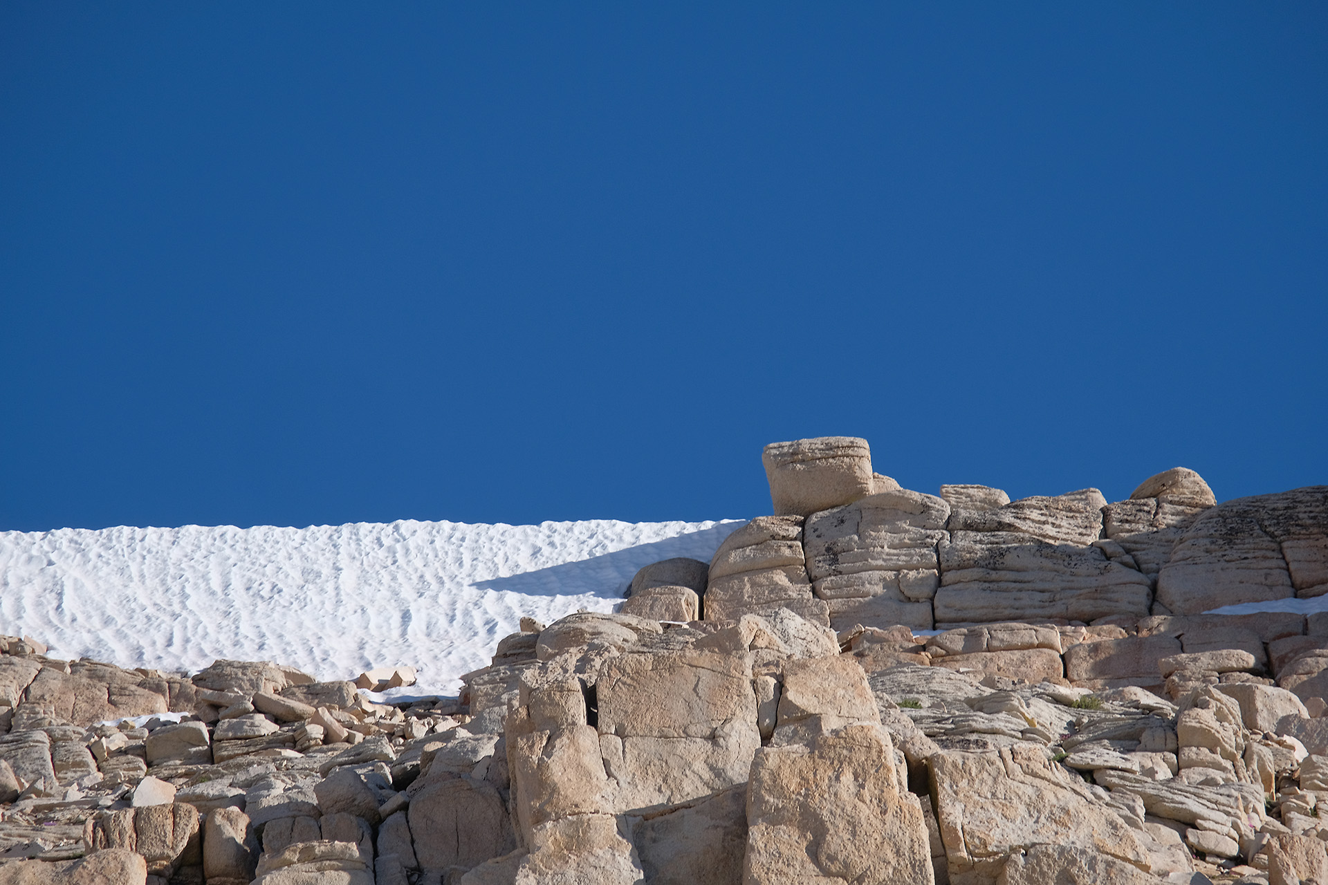
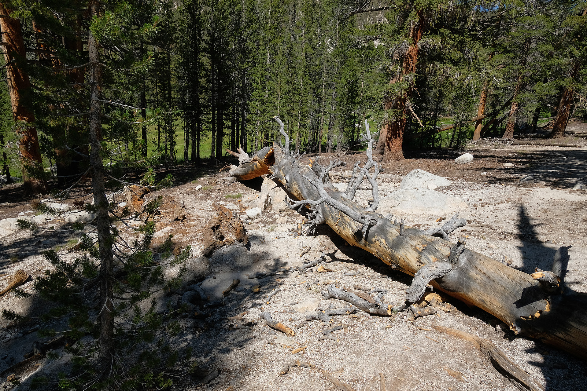
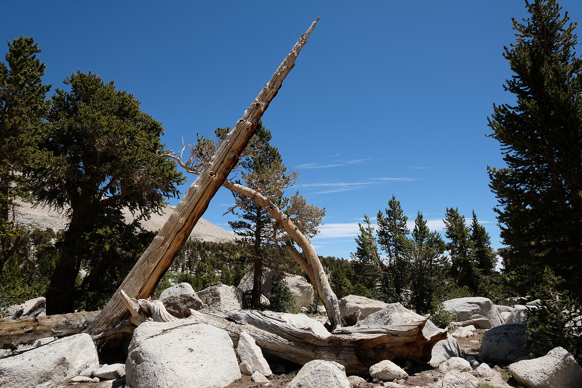
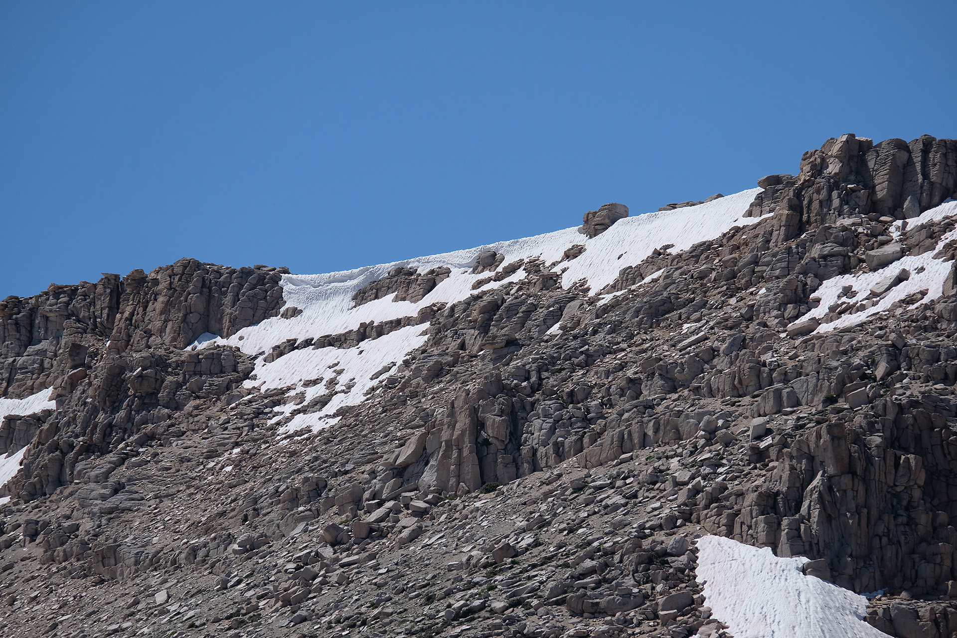
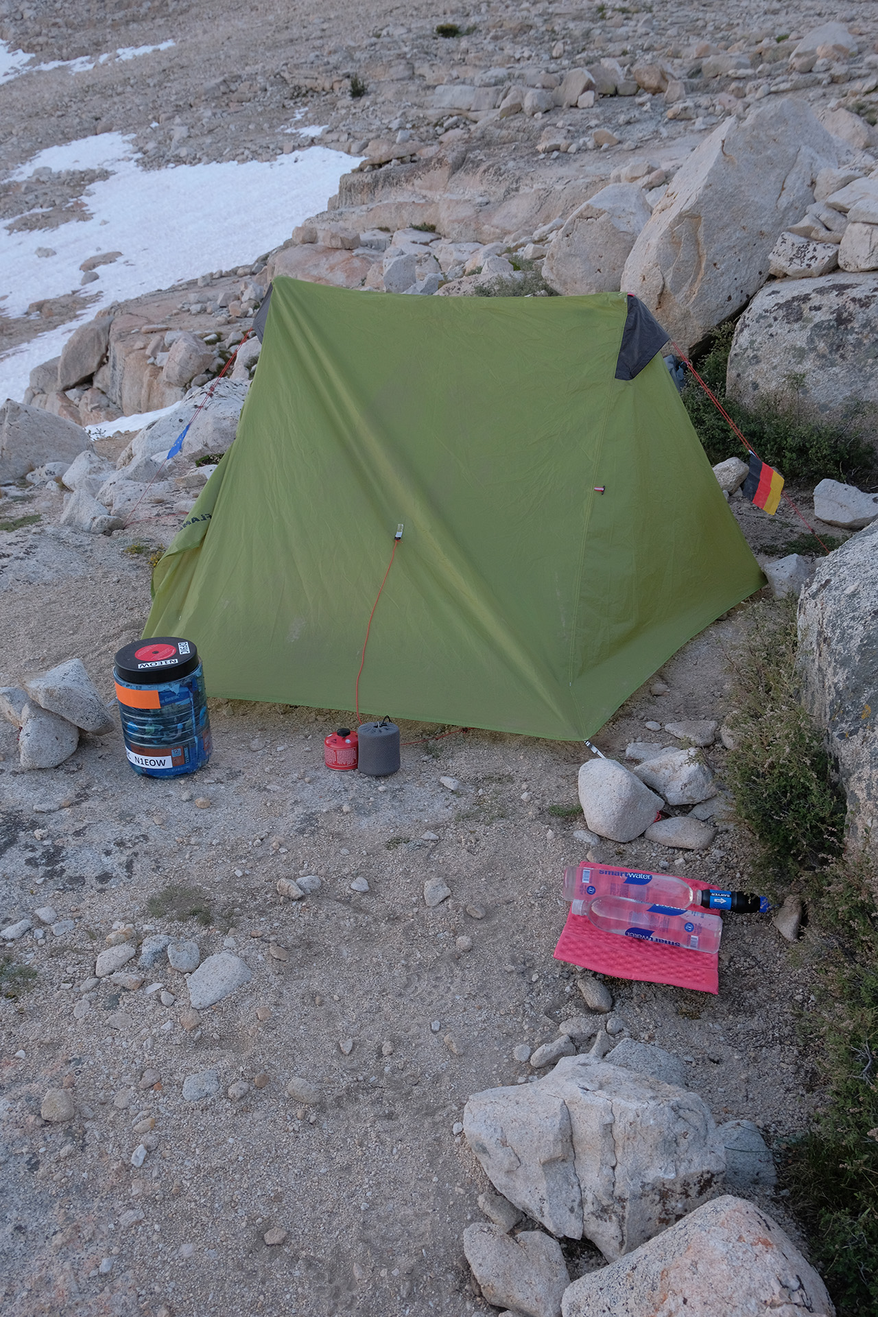
Now I was at the final ramp up to Forester Pass. I walked up a short stretch until 11.400 ft and set up my tent there. So the uphill tomorrow morning will be no more than 2000 ft.
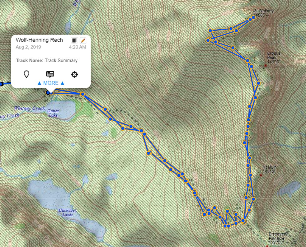
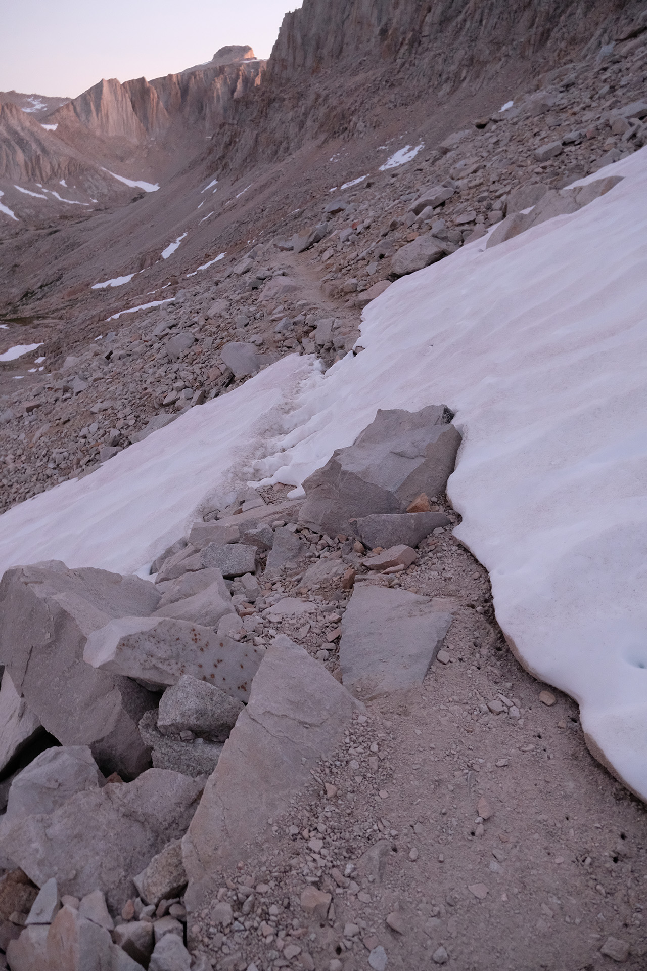
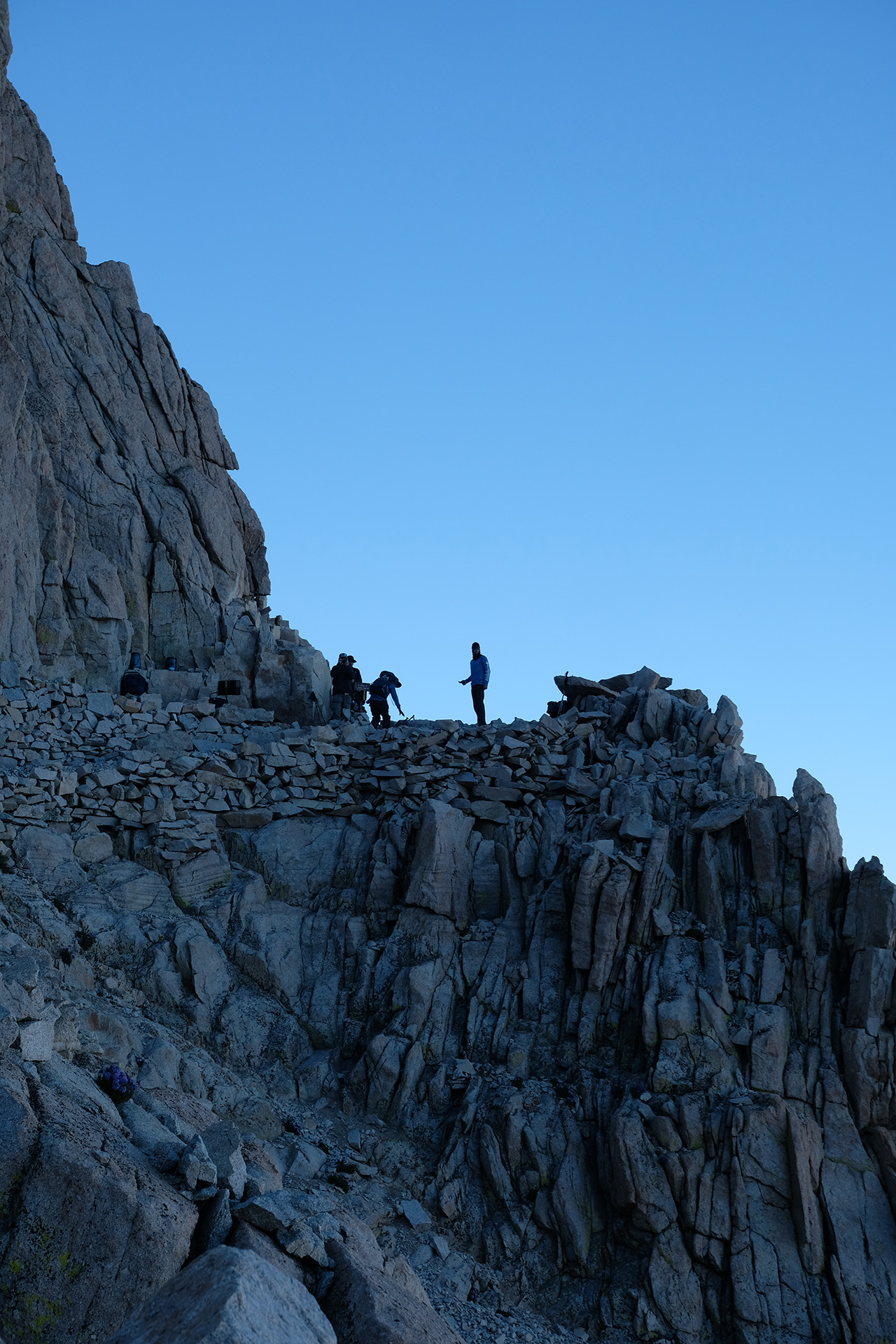
Many hikers try to summit Mt Whitney before sunrise and do so starting at 2 am or earlier. When I left at 4:30 am, after a cold breakfast, I could already see their headlamps along the trail like fireflies.
I started with two other hikers, and we helped each other to find the trail in the dark when its course was a bit doubtful. The trail sometimes became a little creek. But the higher we went, the less water, and soon the new day began to dawn.
After 3 hours I reached the JMT / Whitney Portal Trail junction close to Trail Crest (13.700 ft) where those who will exit the Sierra today via Whitney Portal leave their heavy packs during the summit hike. I carried only a light pack with me all the way since Guitar Lake where I had left my tent and most of my stuff.
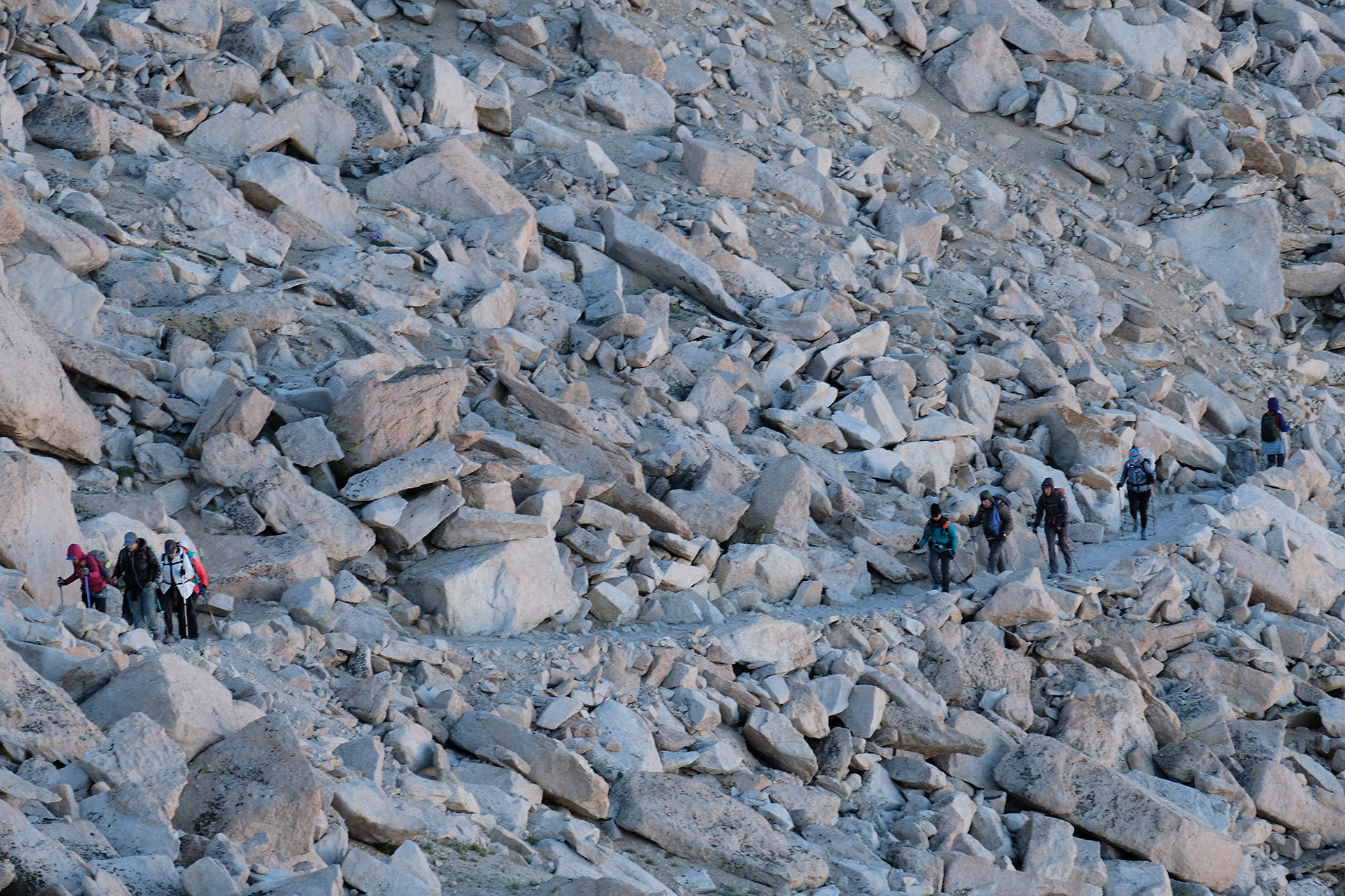
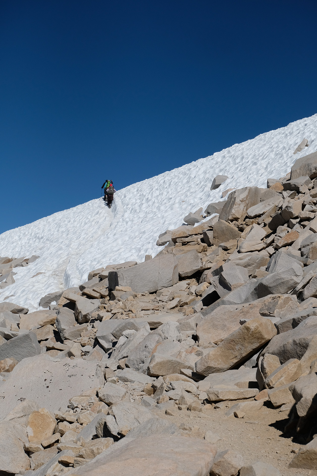
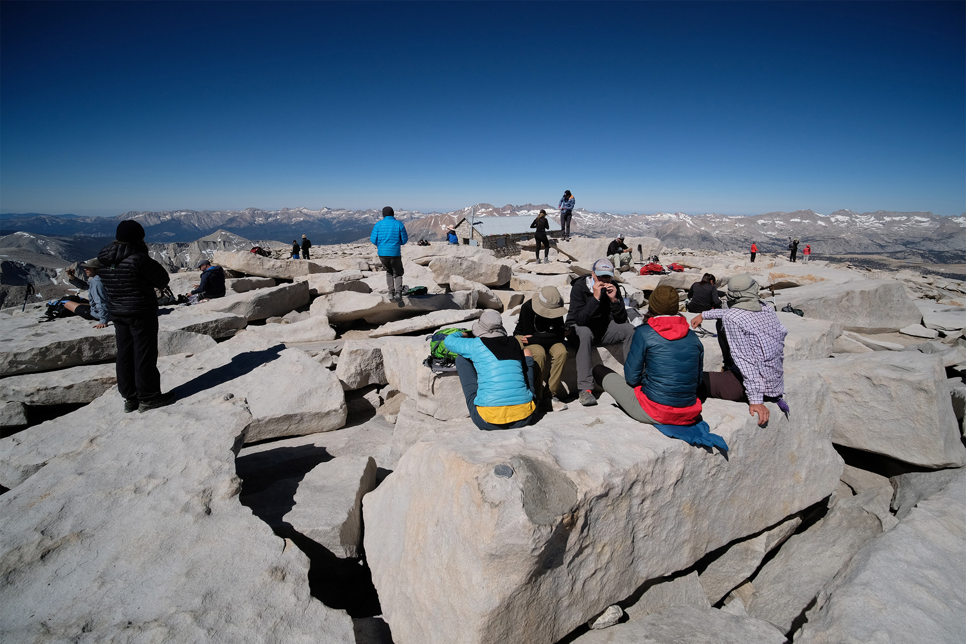
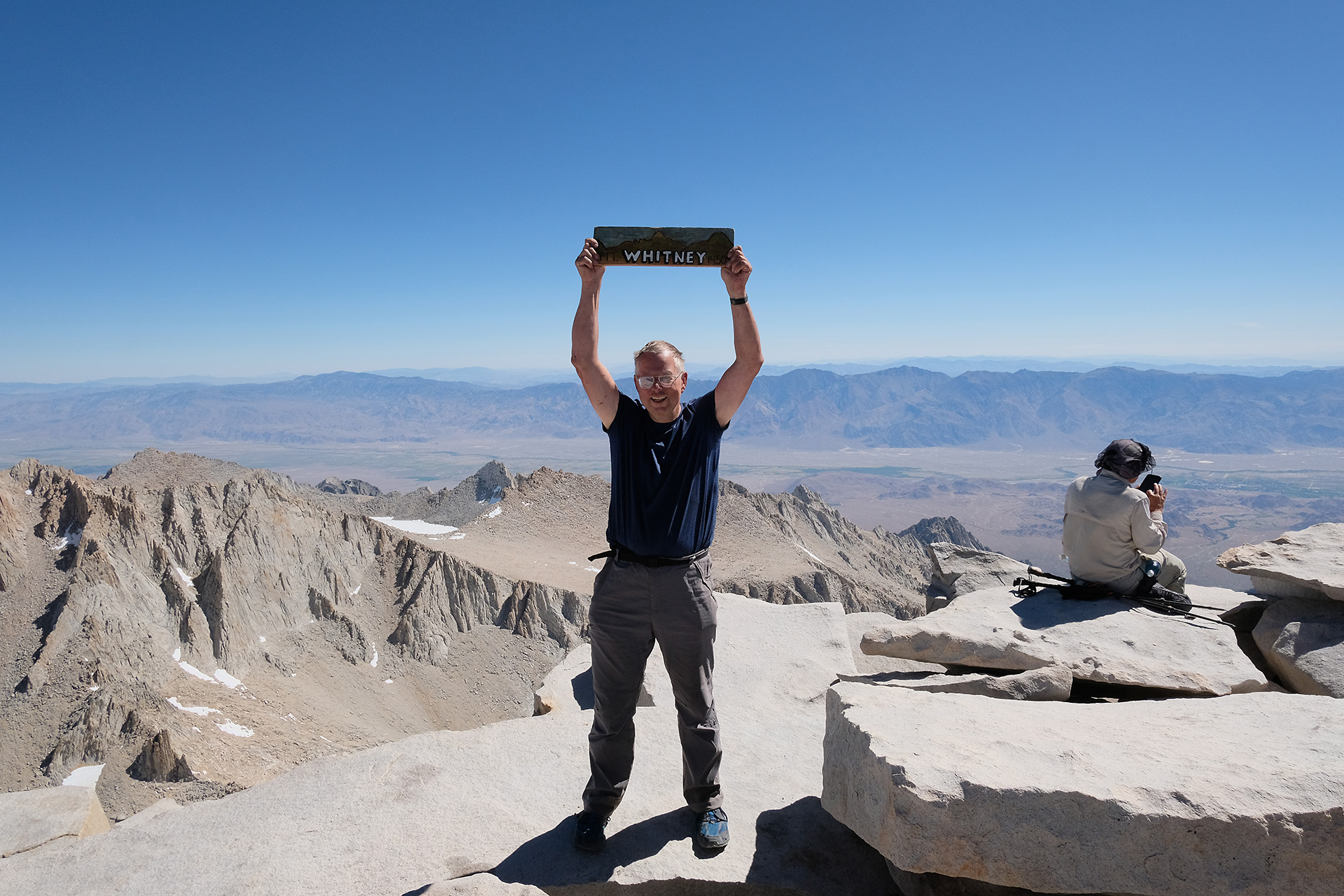
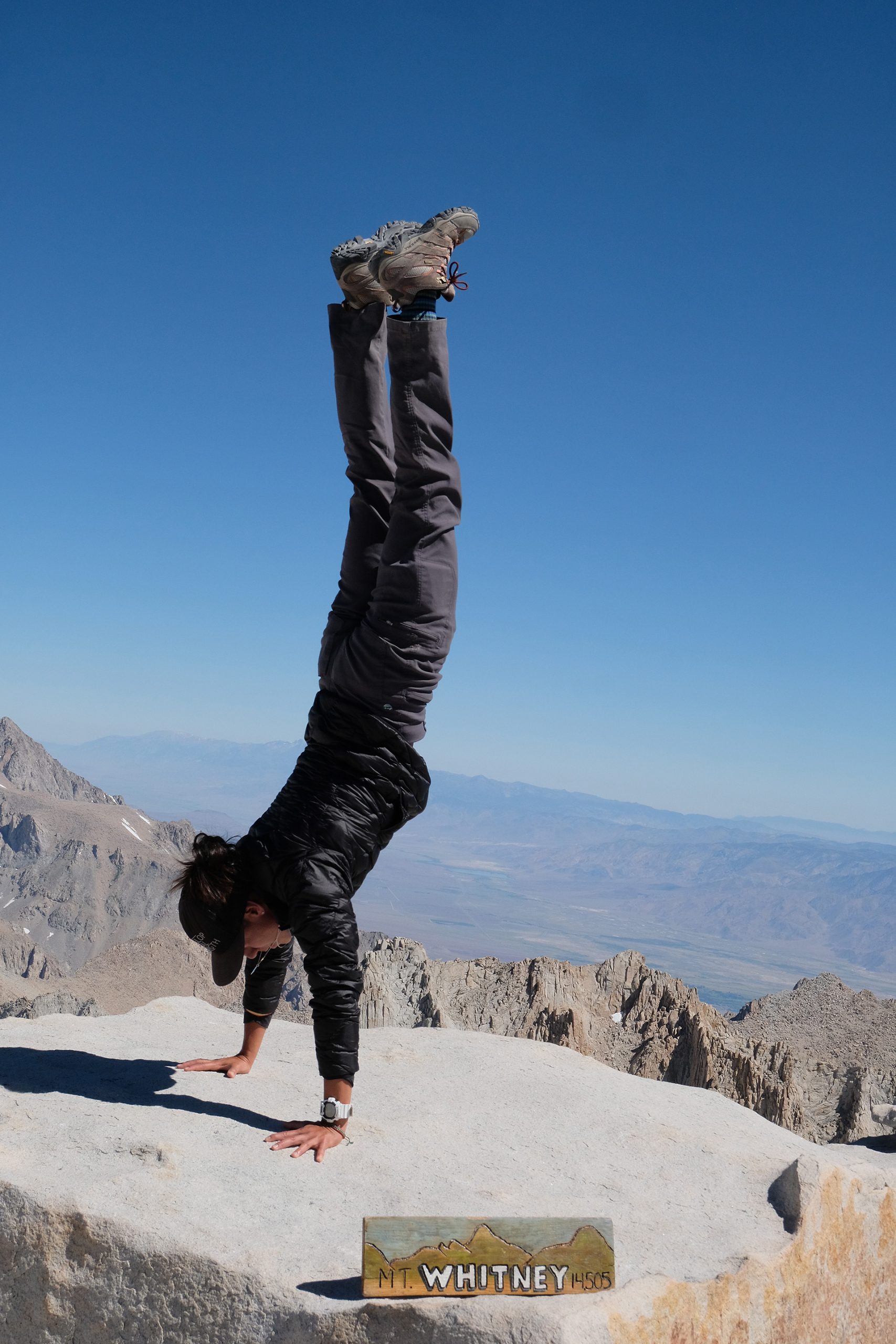
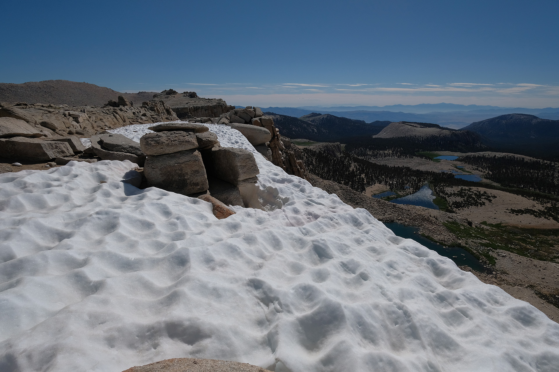
In a long row we continued the path to Mt Whitney. Only 800 ft of elevation gain remained, but the thin air made each step uphill a strenuous one. After another 2 miles and a final snow field to cross we finally reached the summit (14.494 ft) before 10 am.
Already close to the summit
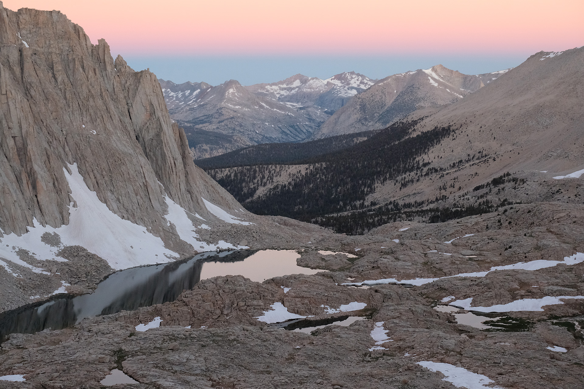
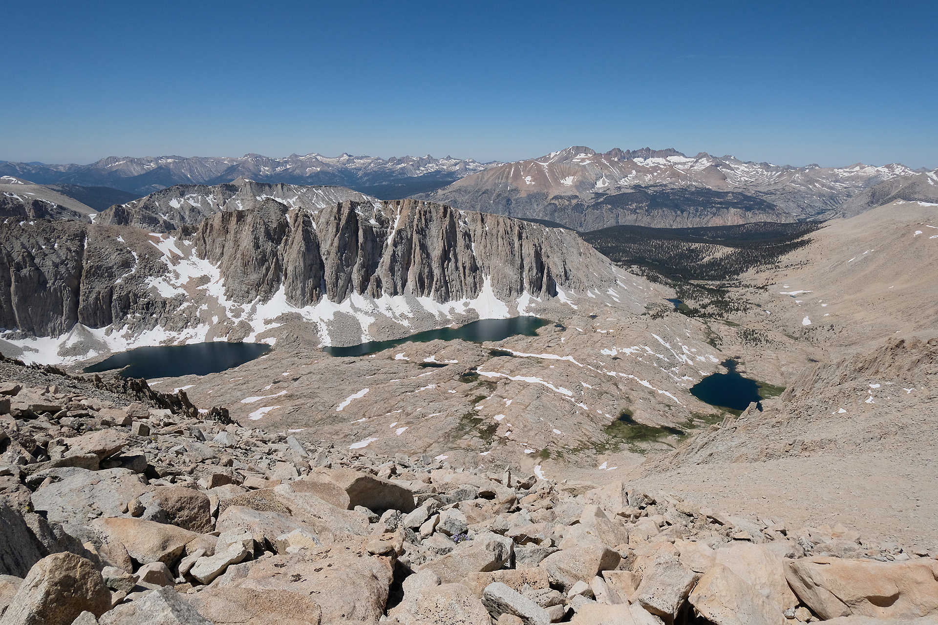
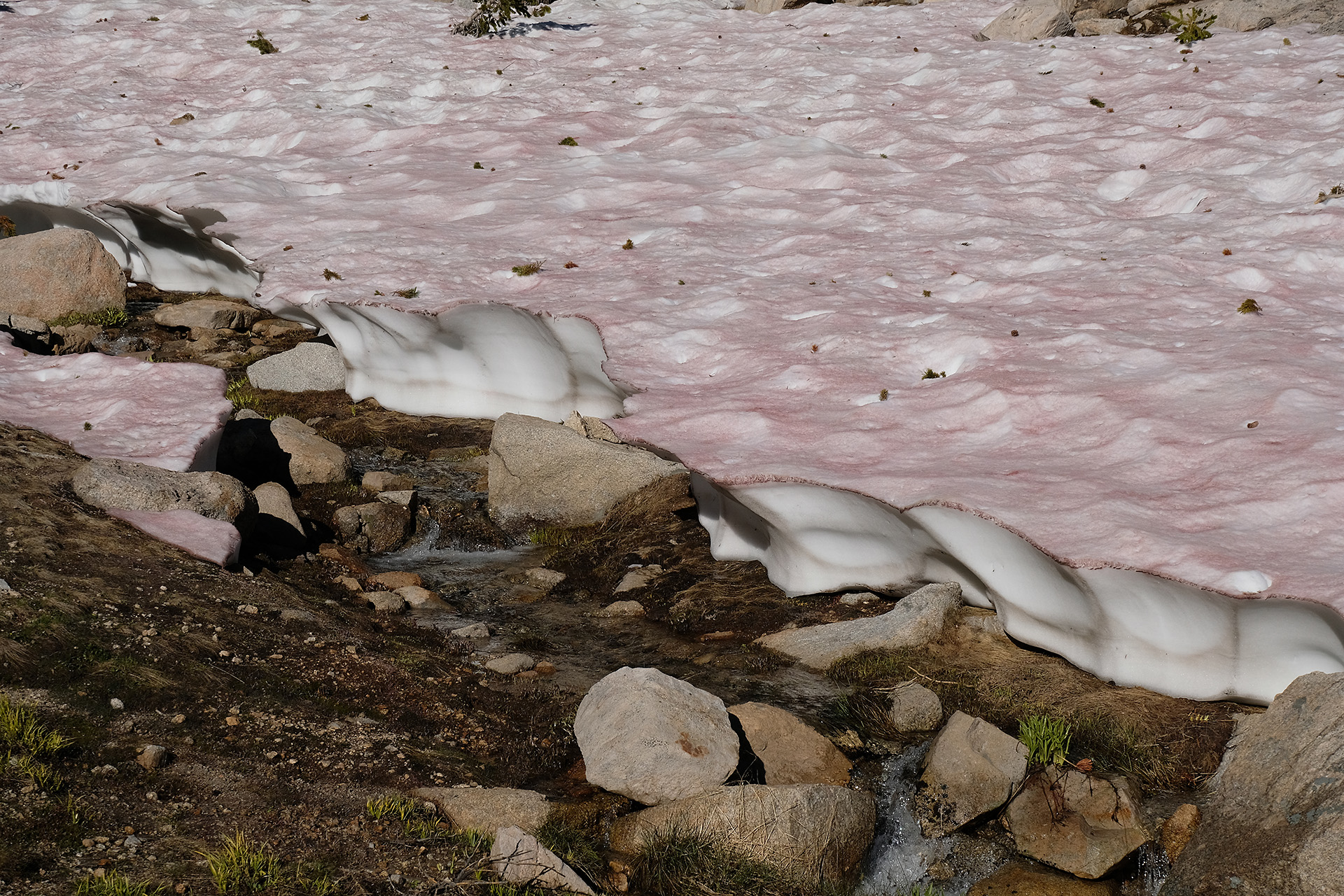
View to east – the lake is still frozen
View to west
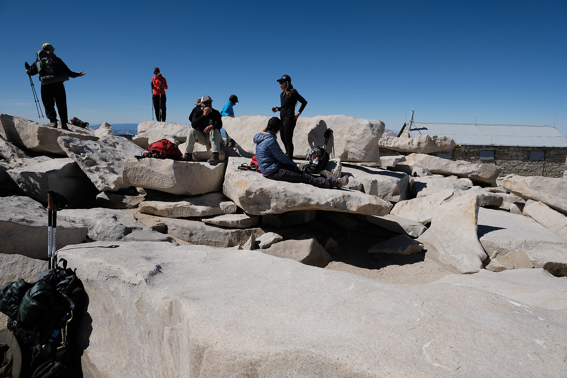
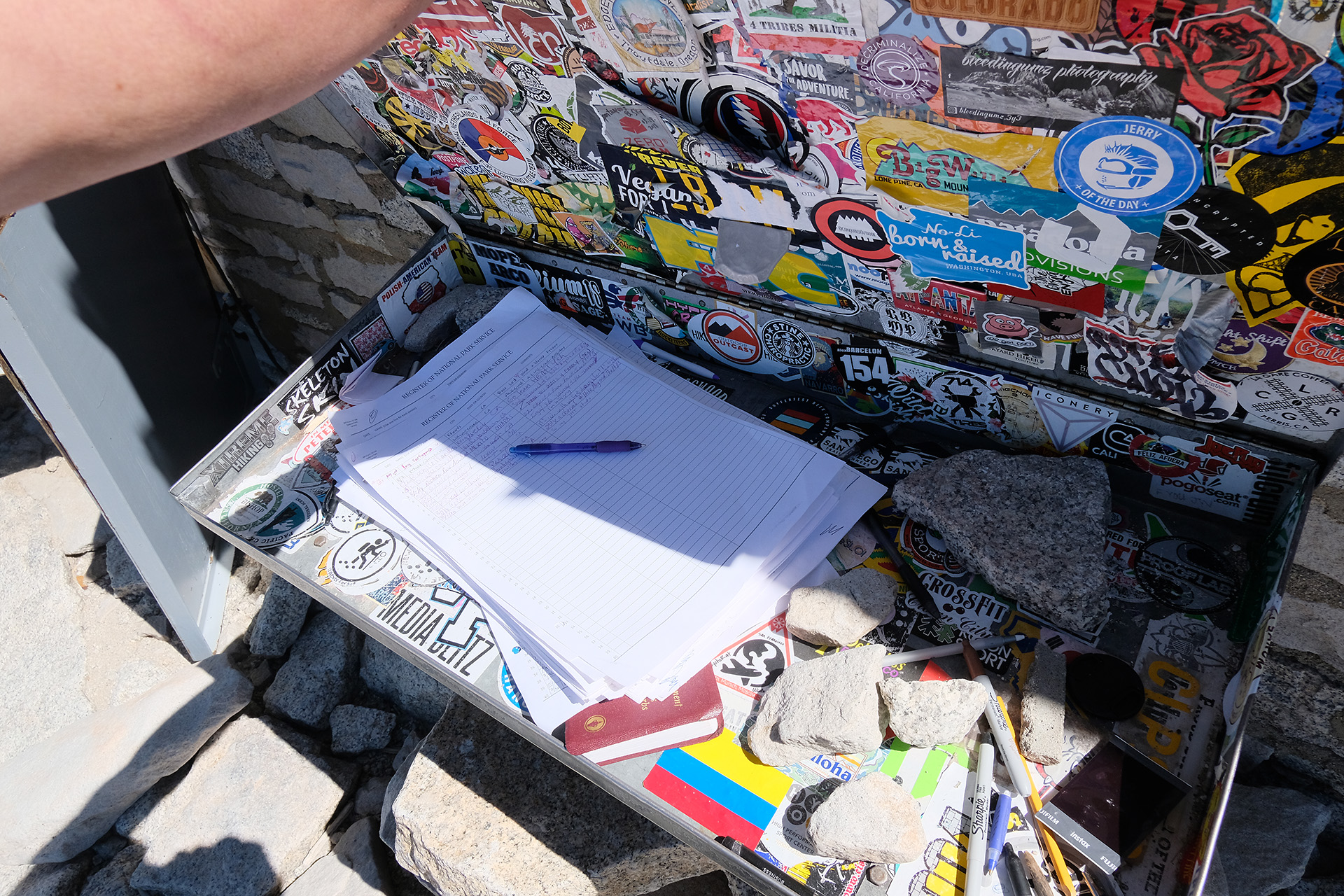
Everyone made photos, signed the summit register and enjoyed have reached the highest point in the 48 states.
In the background Owens Valley with Lone Pine
The summit register – most people are from California
After a short hour I started my way down, with nice panoramic views again.
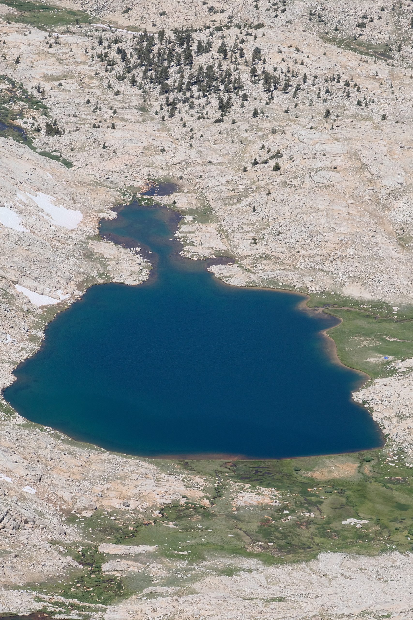
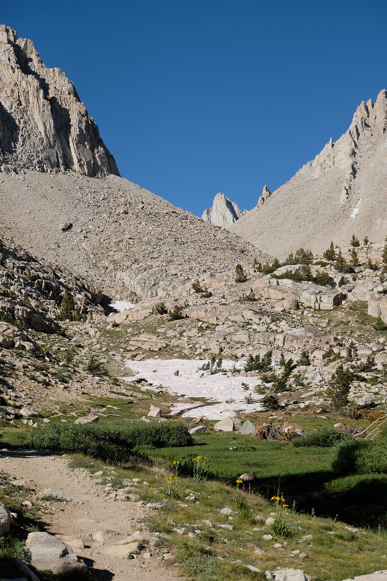
Now you know why “Guitar Lake”
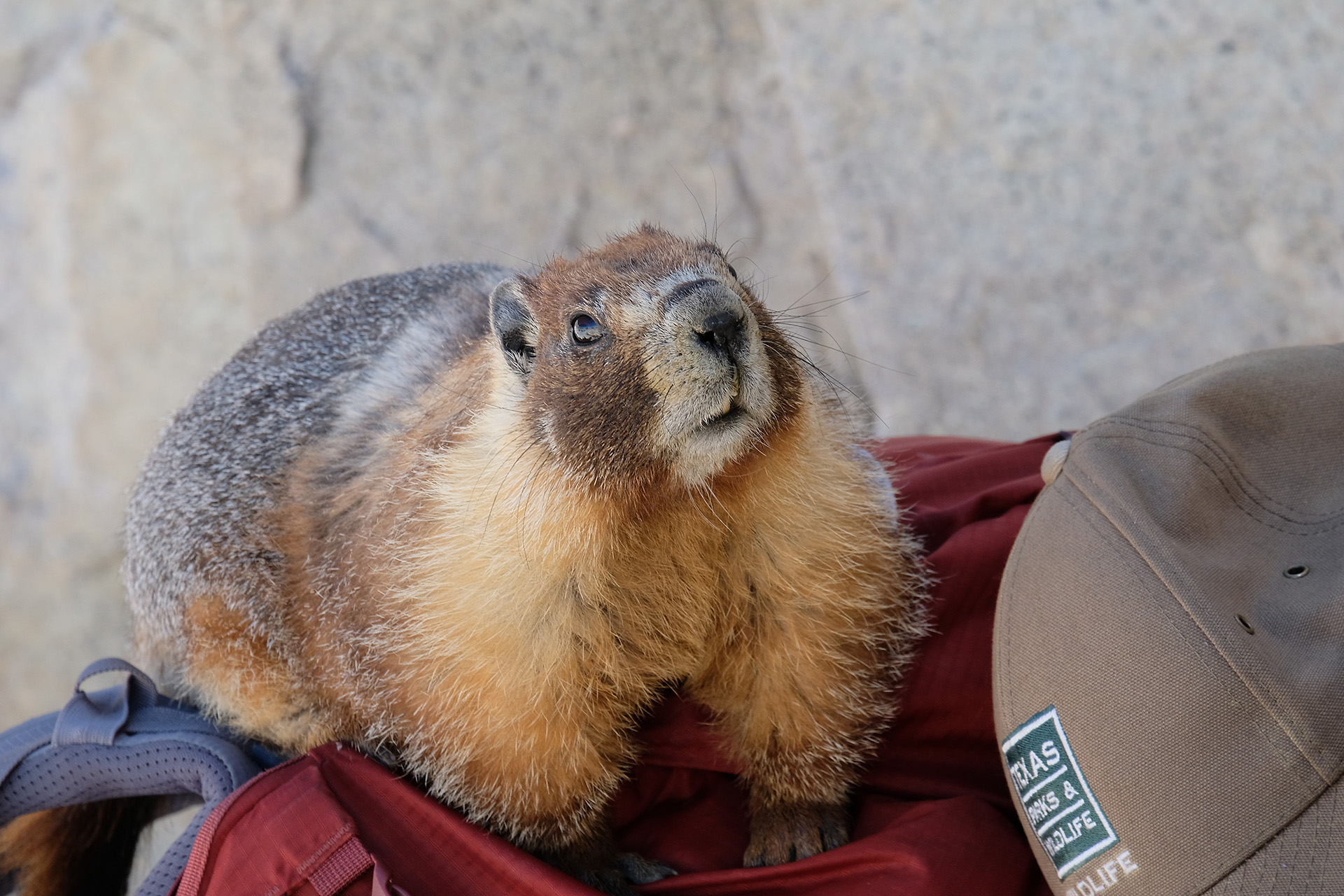
Back at the trail junction I had a short break and watched a marmot which inspected the backpacks without any shyness. You should not leave any food in your pack if you do not want to see it chewed!
How can I open the bear can up there?
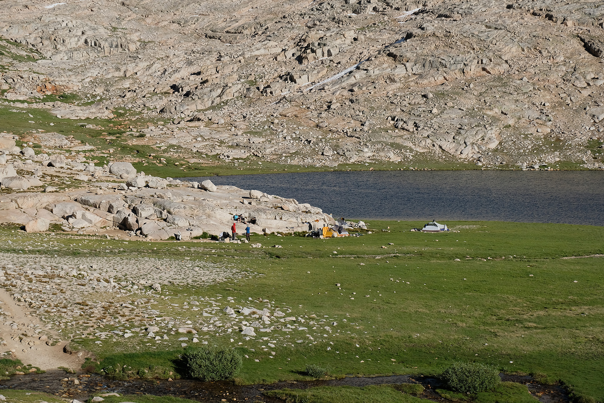
Quite tired I arrived at the lakes, and stayed another night at my tentsite before leaving the next morning. Now my JMT has really started, on the summit of Mt Whitney.
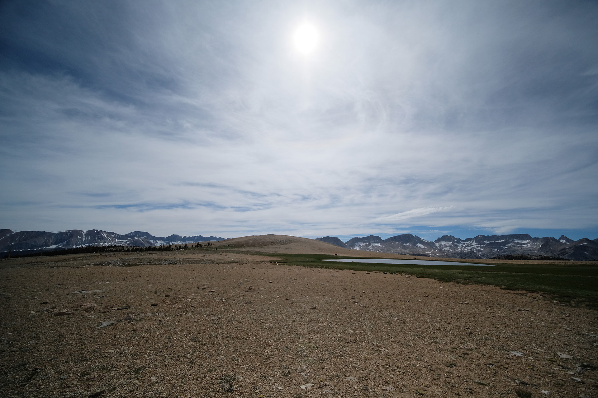
The next morning I had a late start around 10 am but I was not in a hurry: my destination today was Guitar Lake, the Mt Whitney “base camp”, just 8 miles away, and through decent terrain.
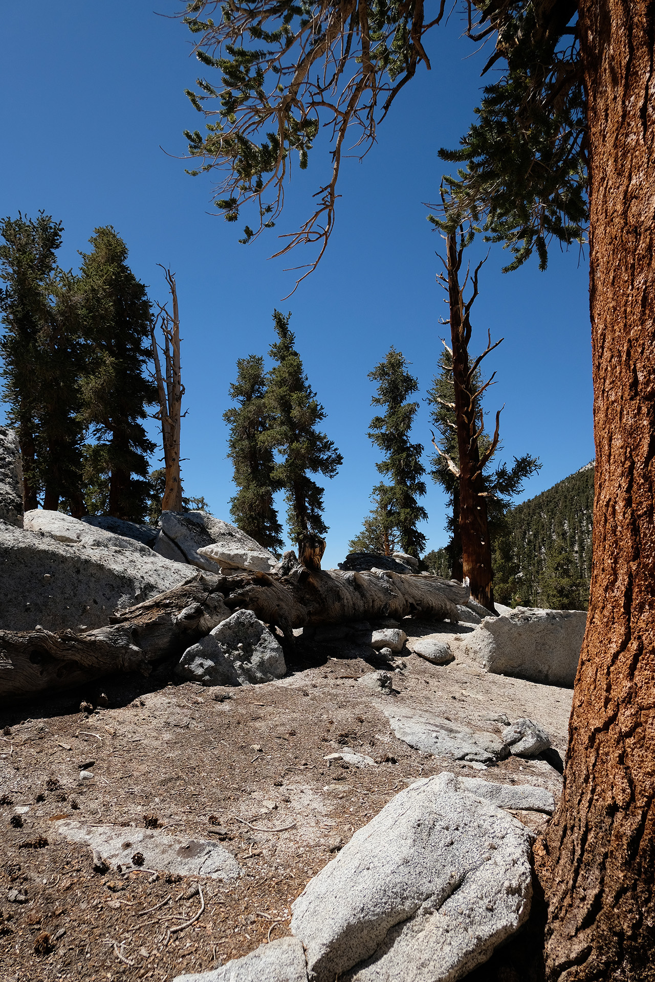
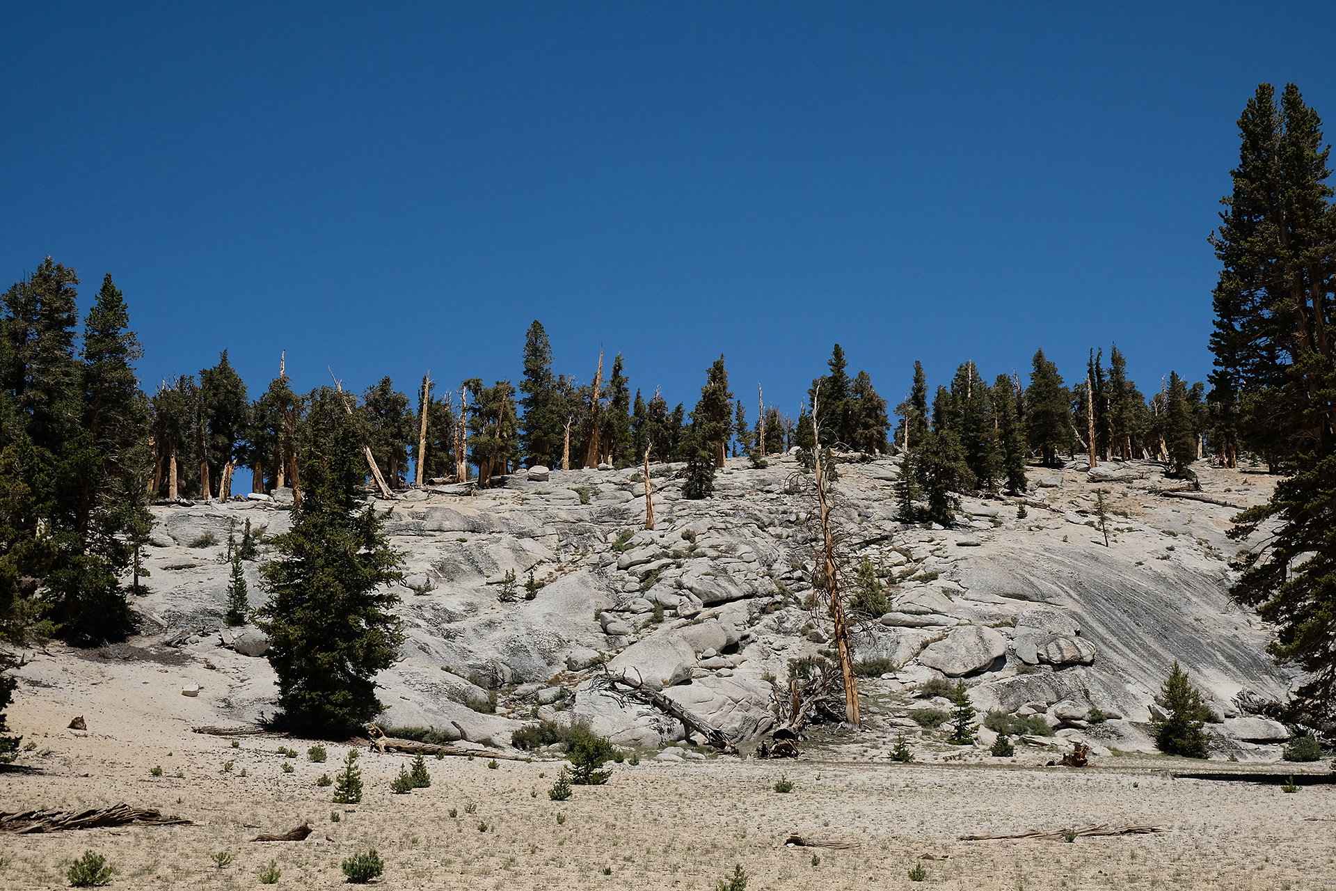
I fully went up to Guyot Pass (10.900 ft) and then followed the PCT further through a wonderful landscape until the Crabtree Meadow Trail leading to the ranger station.
There is a large campsite which was nearly empty because of the high snow reaching into July, and thus few southbound hikers at the end of their thru-hike. And it has a privy!
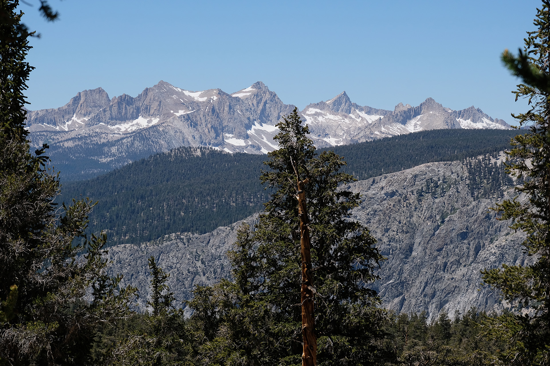
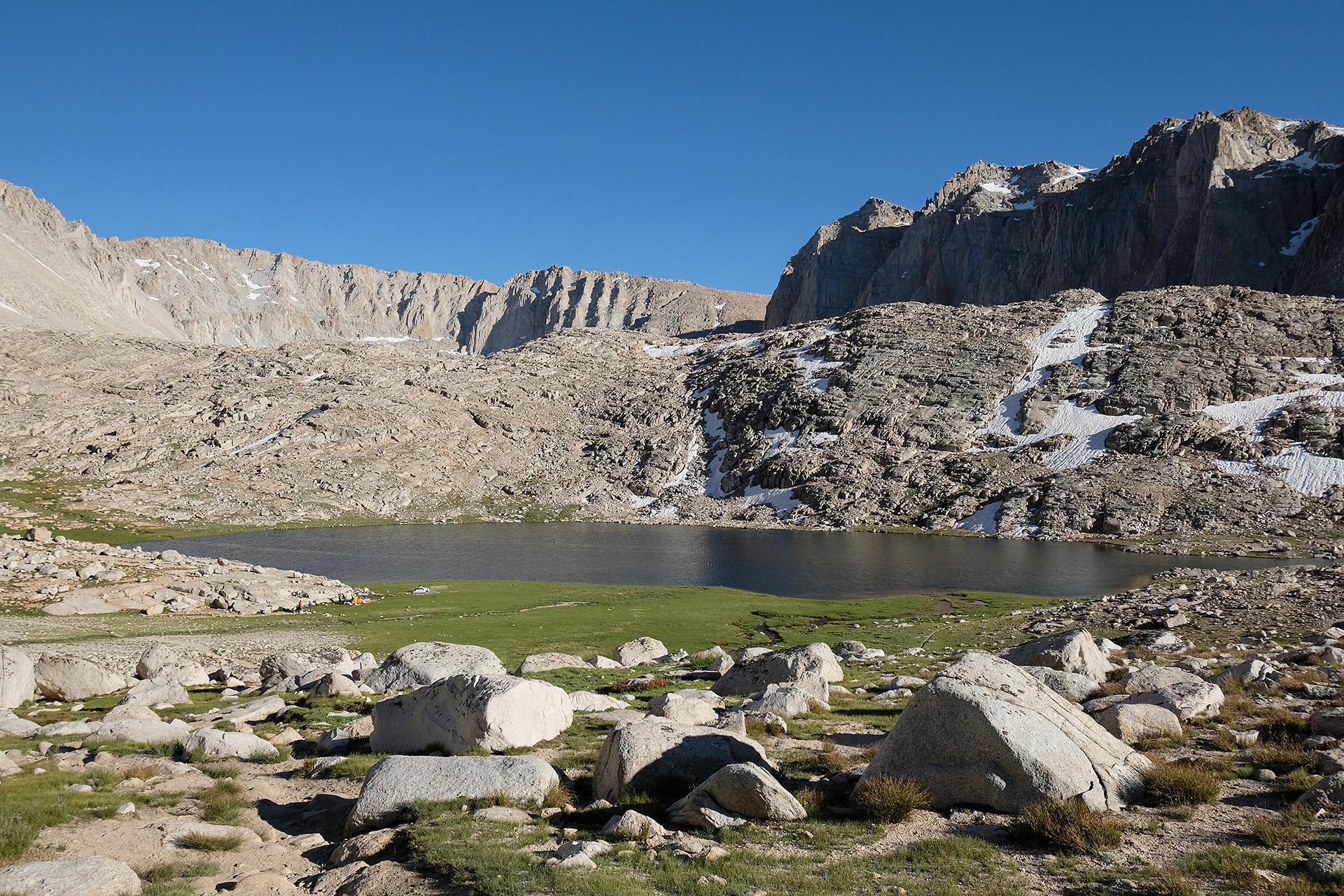
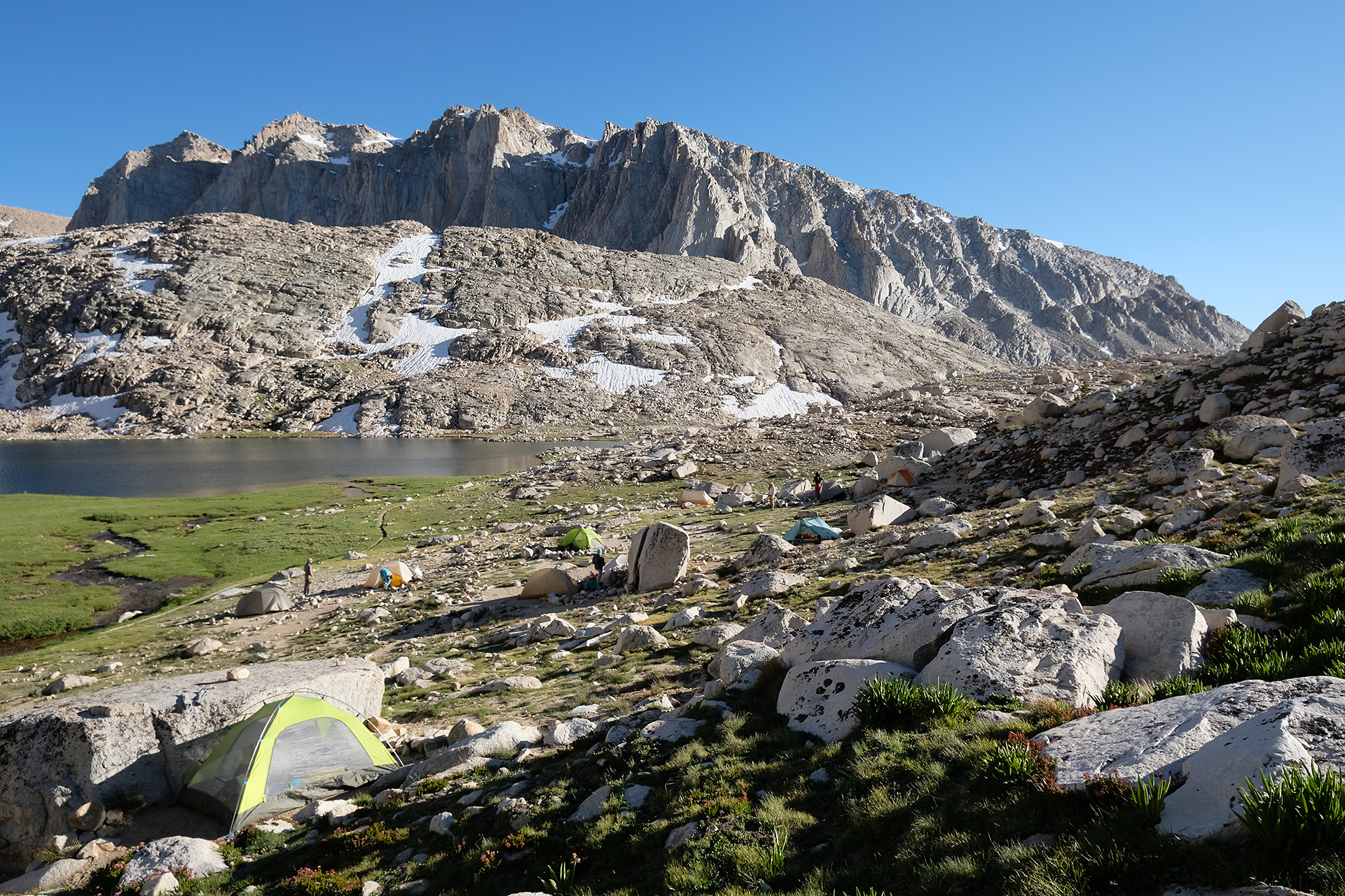
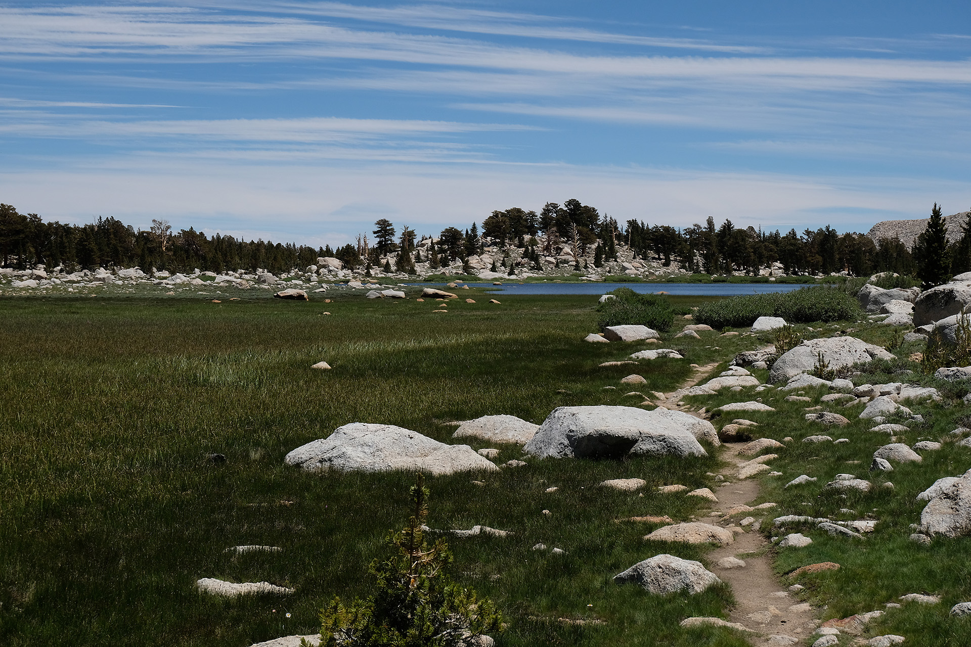
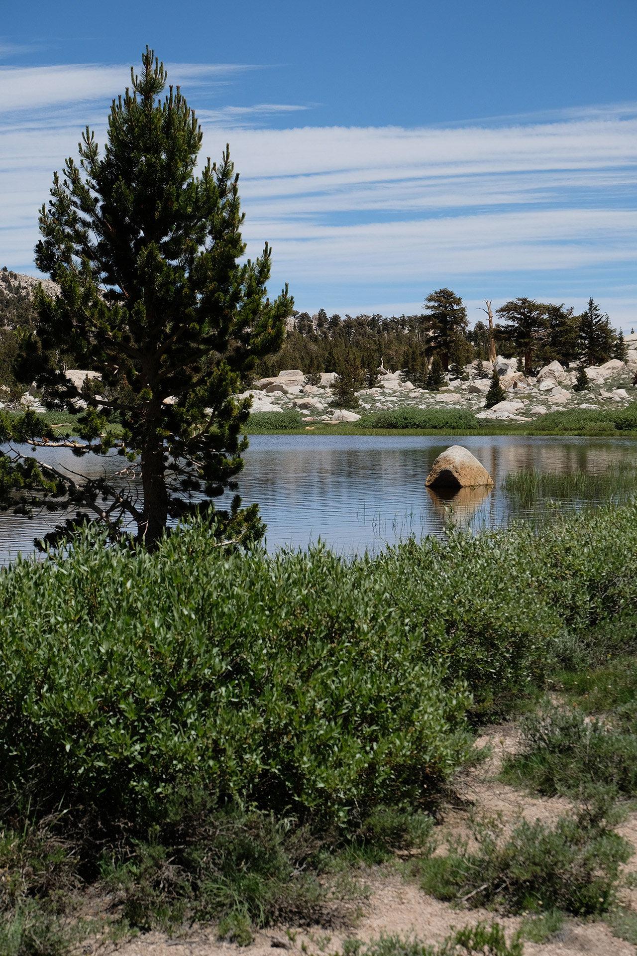
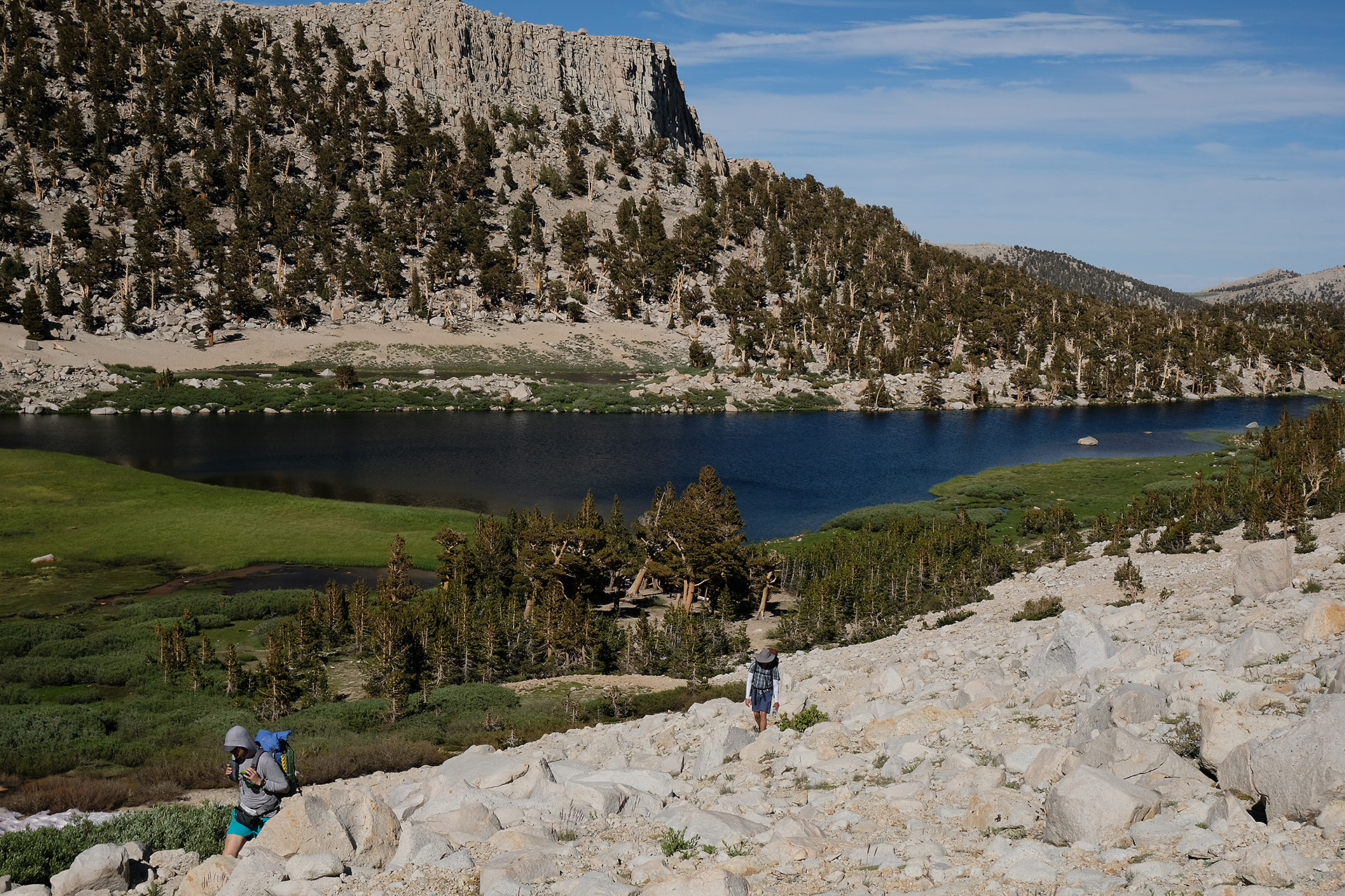
Crabtree Meadow (10.600 ft) is also the boarder to the Mt Whitney area so a friendly ranger checked my permit. The hike from there until Guitar Lake (11.500 ft) passes the Timberline Lake while the landscape gets more alpine again.
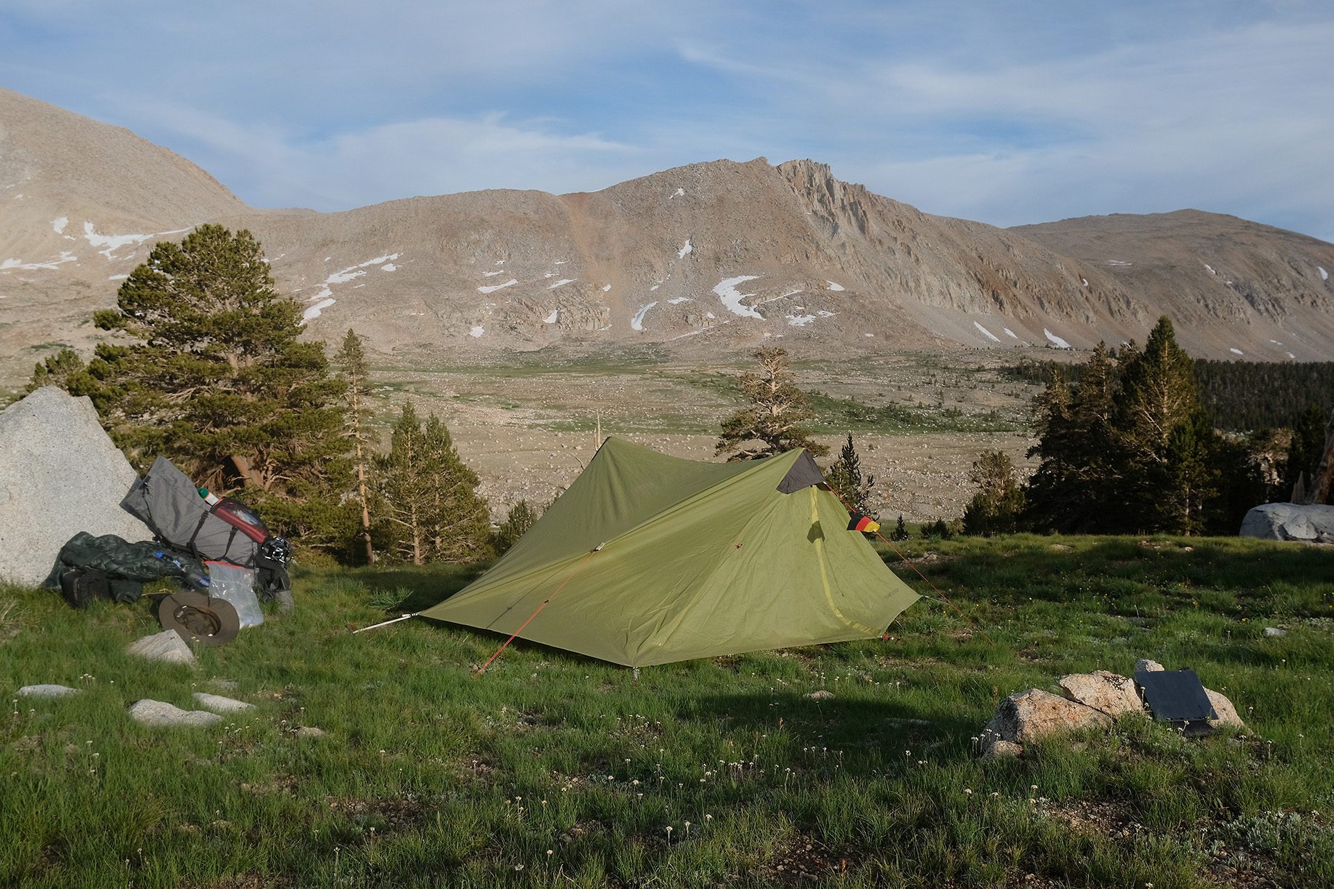
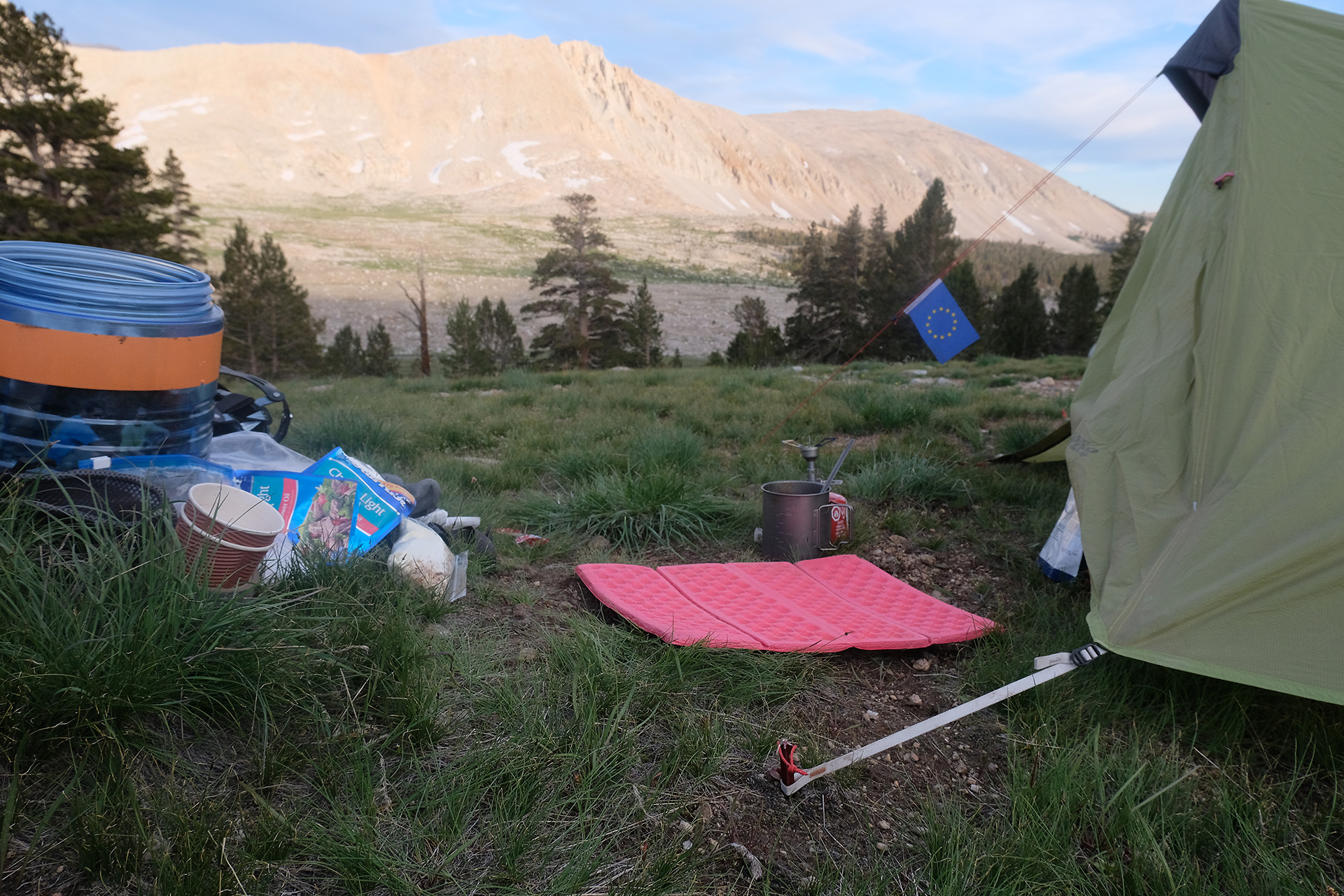
When I arrived at the lake I was not alone – more than 10 tents already set up at various sites, but I easily found a place for myself. After a Mountain House dinner I tried to sleep for an early start tomorrow.
The second morning, after the routine including breakfast and tent takedown, I started at 7:30 am. Around 9 am I was close to the pass.
Switchbacks up to New Army Pass
Right side of the pass – choose among snow or vertical rock scrambling
The rocks in the center of the pass
View to the left, with a short section of the original trail leading into the huge snow cornice – hopeless…
I weighted my opportunities to climb up to the top while waiting for my hiker friends from yesterday who had started a bit later. In such a situation it is better not to be solo.
I had heard from oncoming hikers that they had scrambled over rocks and/or snow on the right side. I prefered the center; there was a gap between the right of the two big rocks and the deeply frozen snow which could be reached without dangerous moves and then used to climb up like in a chimney, about 2…3 m high. One of the other hikers joined and helped me while the second prefered the right side. We all made it to the top.
On top of the snow cornice
The first marmot
Now the trail got easier, I hiked west on the Army Pass Trail to the PCT which I met before the Rock Creek ranger station. I followed the PCT further west.
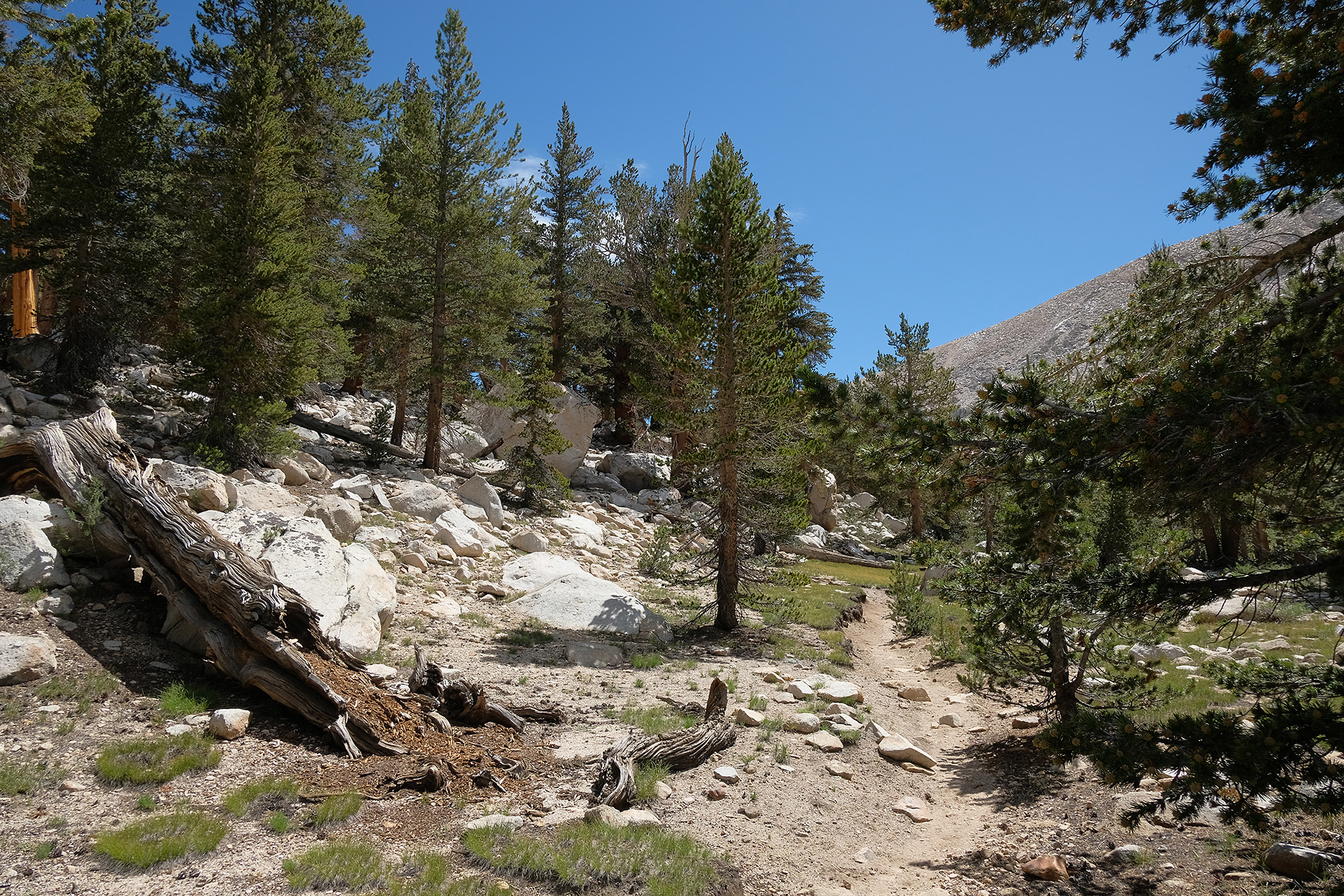
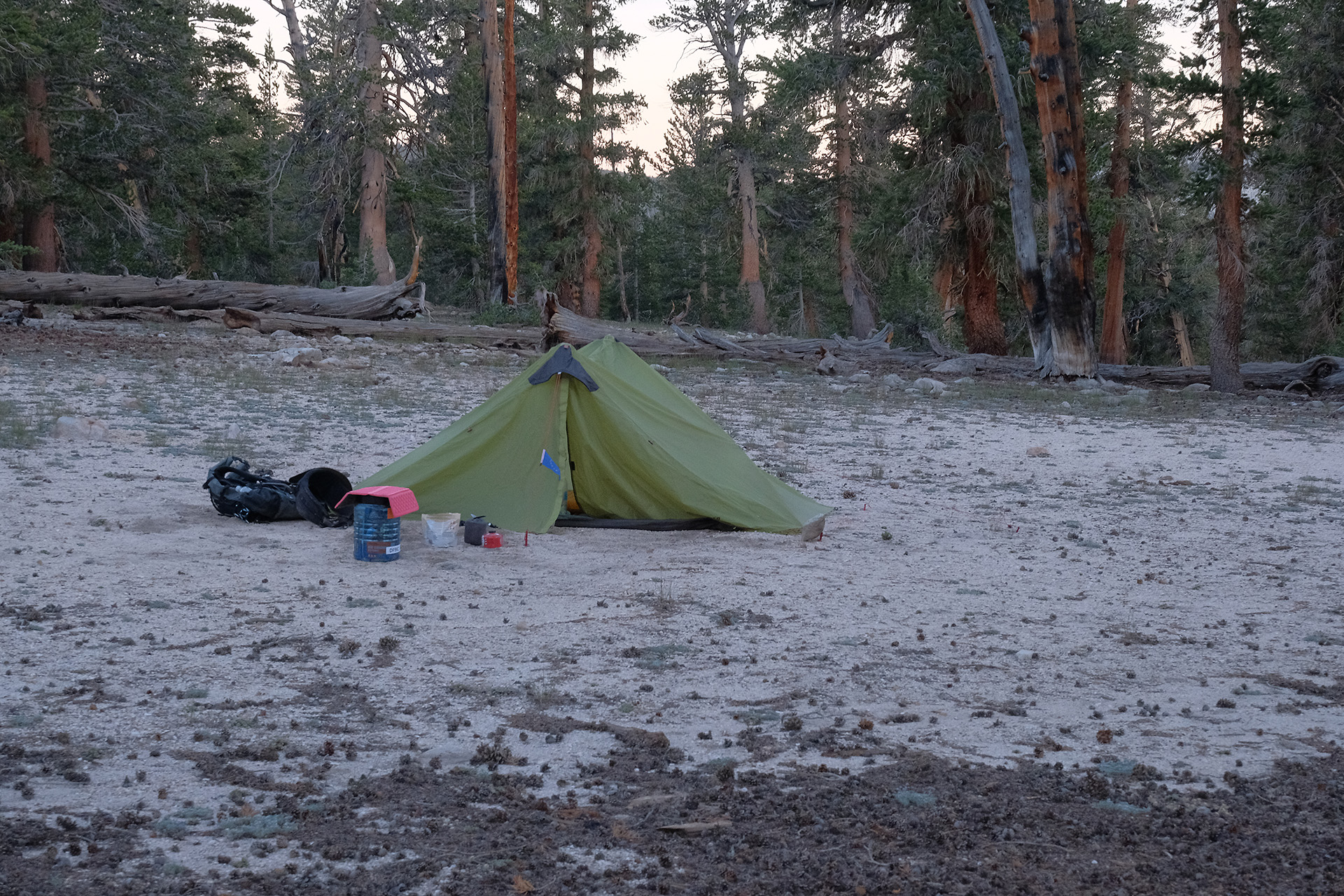
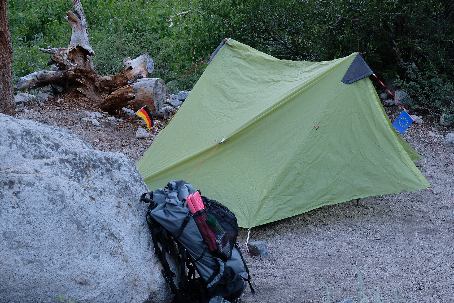
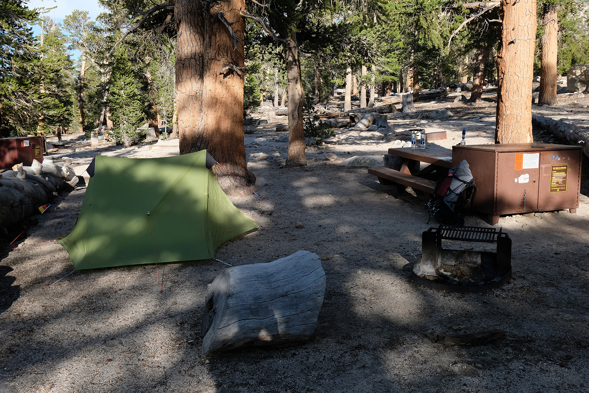
I passed the campsite at the creek crossing (9.500 ft) down in a wood with many mosquitos and then bent to the North and went up to Guyot Creek (10.350 ft). There was a nice flat area a few 100 yards before the creek where I set up my tent after a total of 10 miles today.
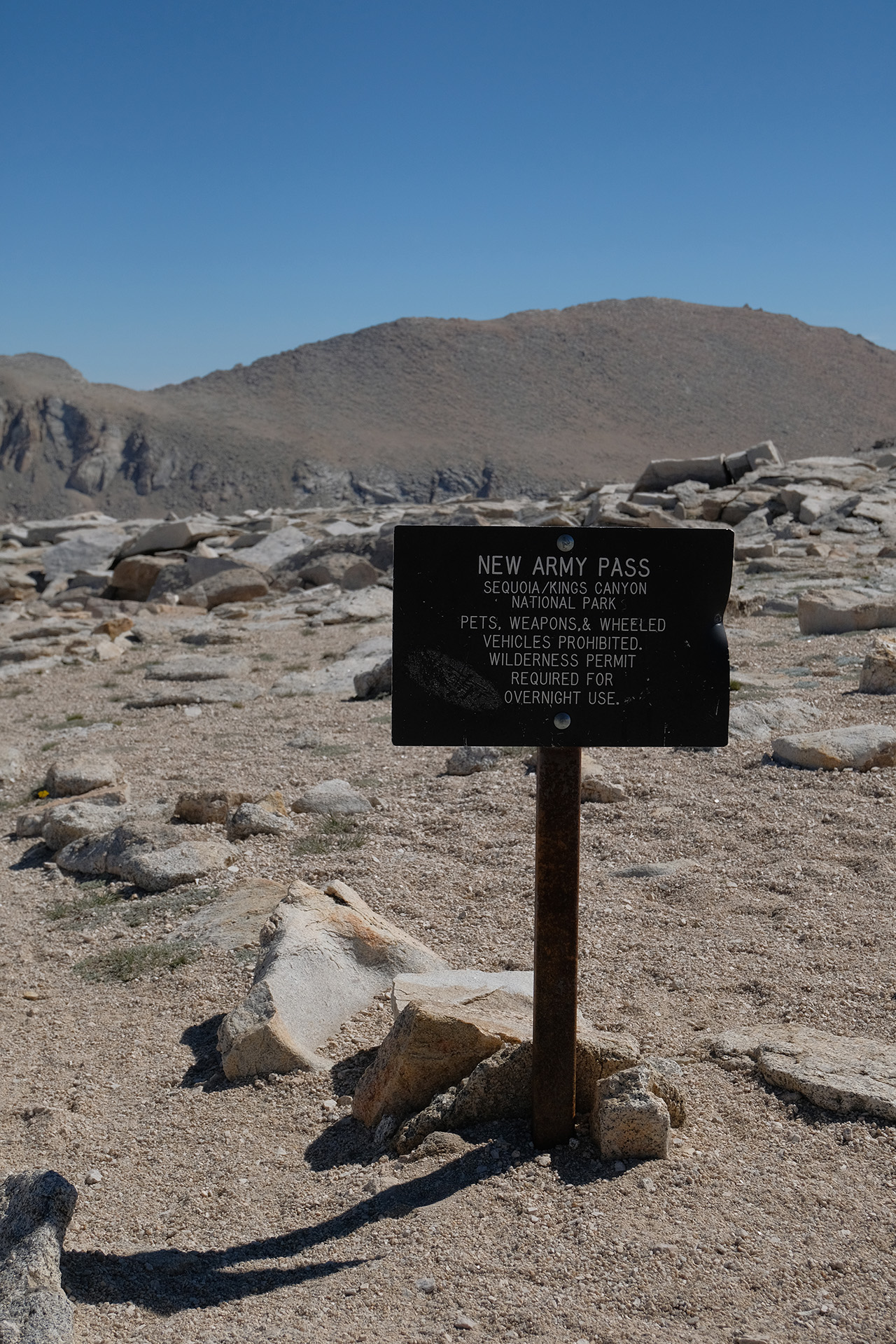
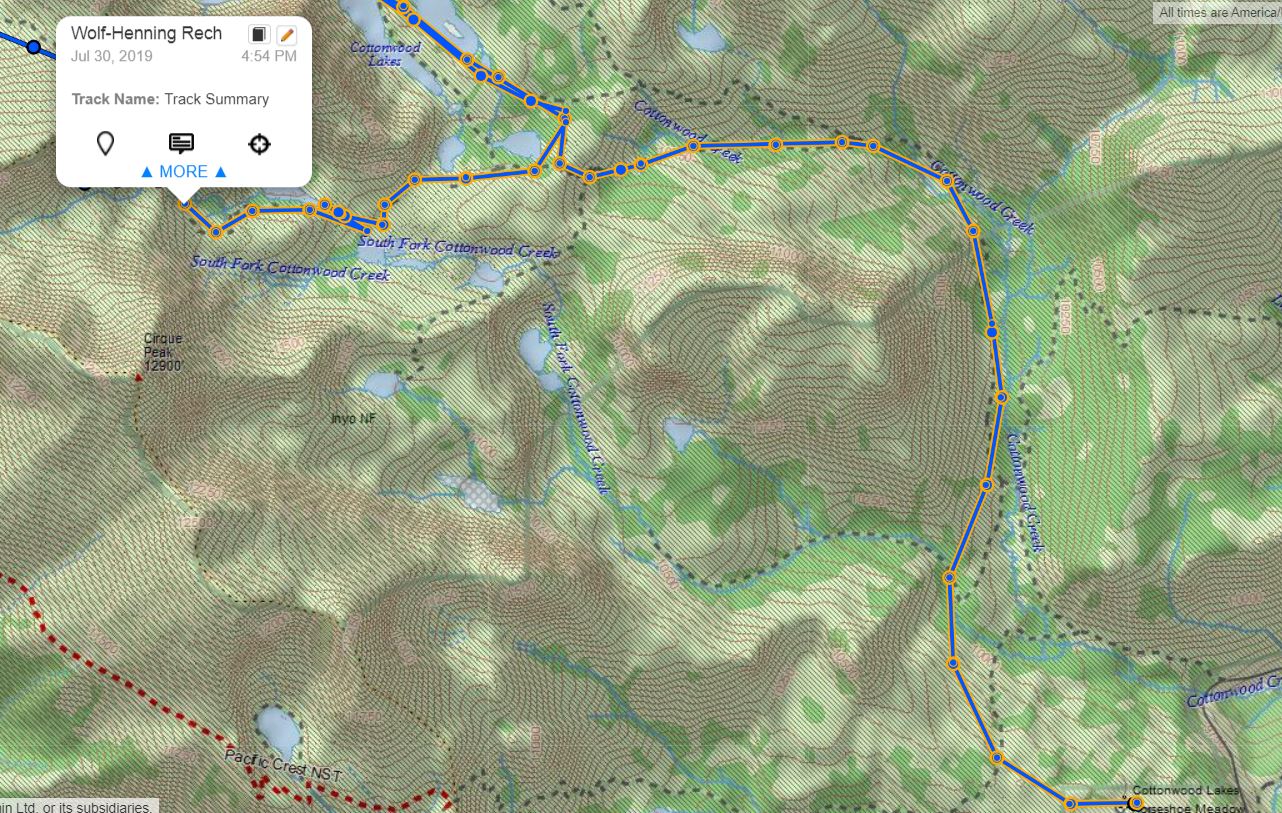
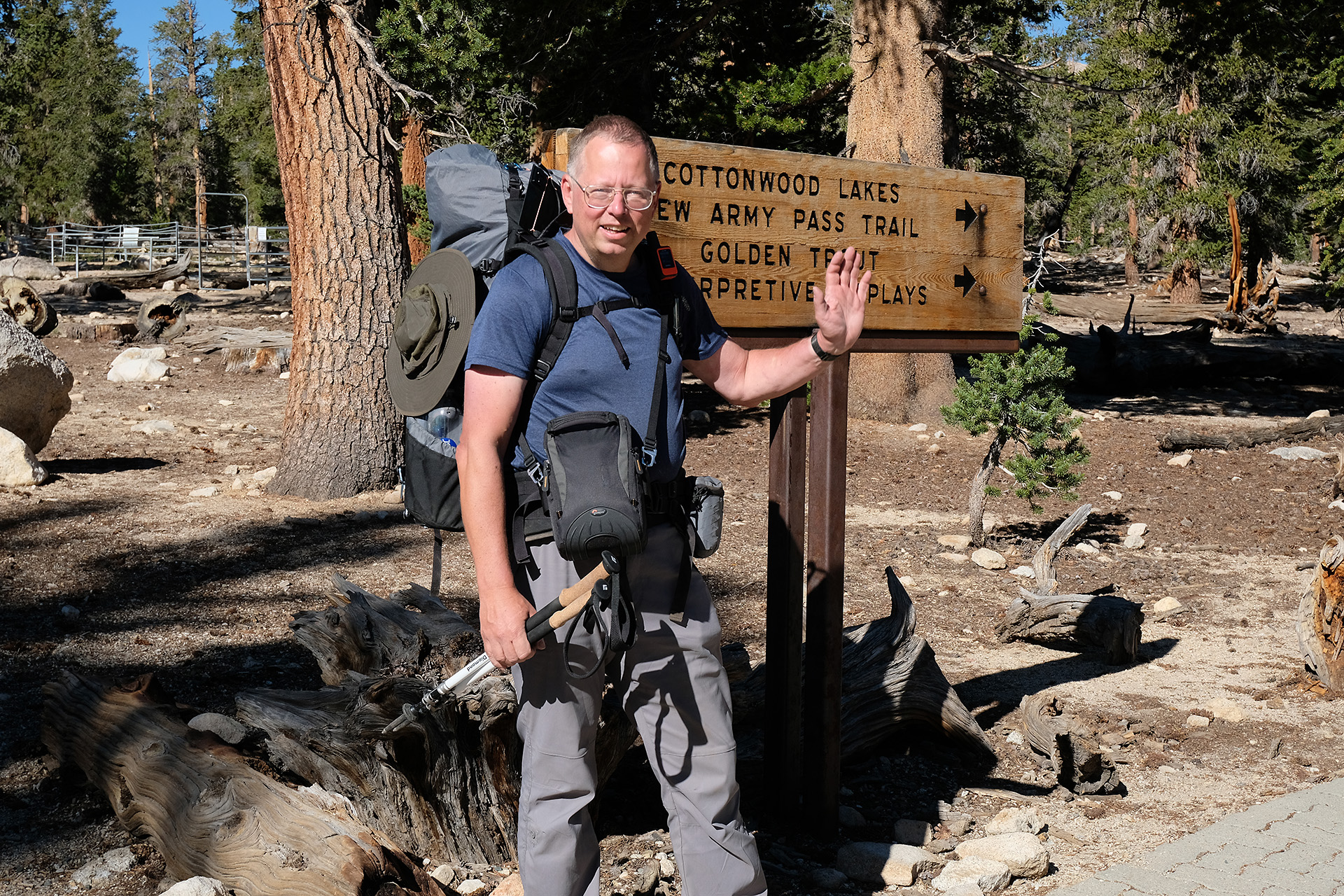
After my first night staying on the Horseshoe Meadow campground (10.000 ft) I started around 9 am on the Cottonwood Lake Trail to the New Army Pass (12.300 ft). My plan was to cross the pass in the afternoon and hike until Soldier Lake. But I had heard of a huge snow cornice on top of the pass so that I was in doubt if I can make it.
Horseshoe Meadow campground
My start on the trail
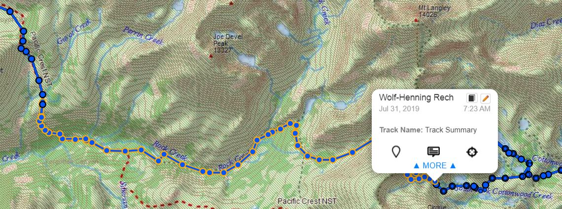
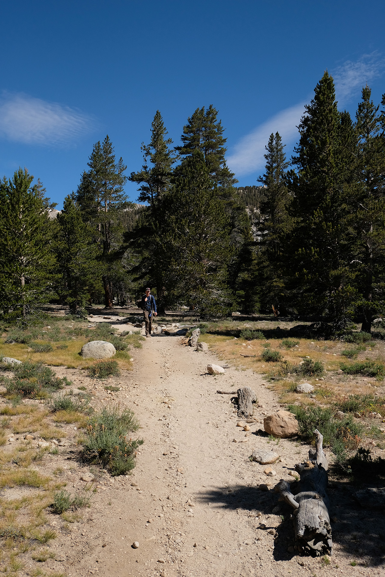
It was a good trail and quite flat in the begin, not too difficult with the heavy pack. The landscape became scenic in its combination of granite mountains, lakes, meadows and primeval forest. So scenic that I missed a little marker to New Army Pass, and thus could enjoy the beauty of some more lakes, at the expense of two or three extra miles (see map above).
Cottonwood Lake #1
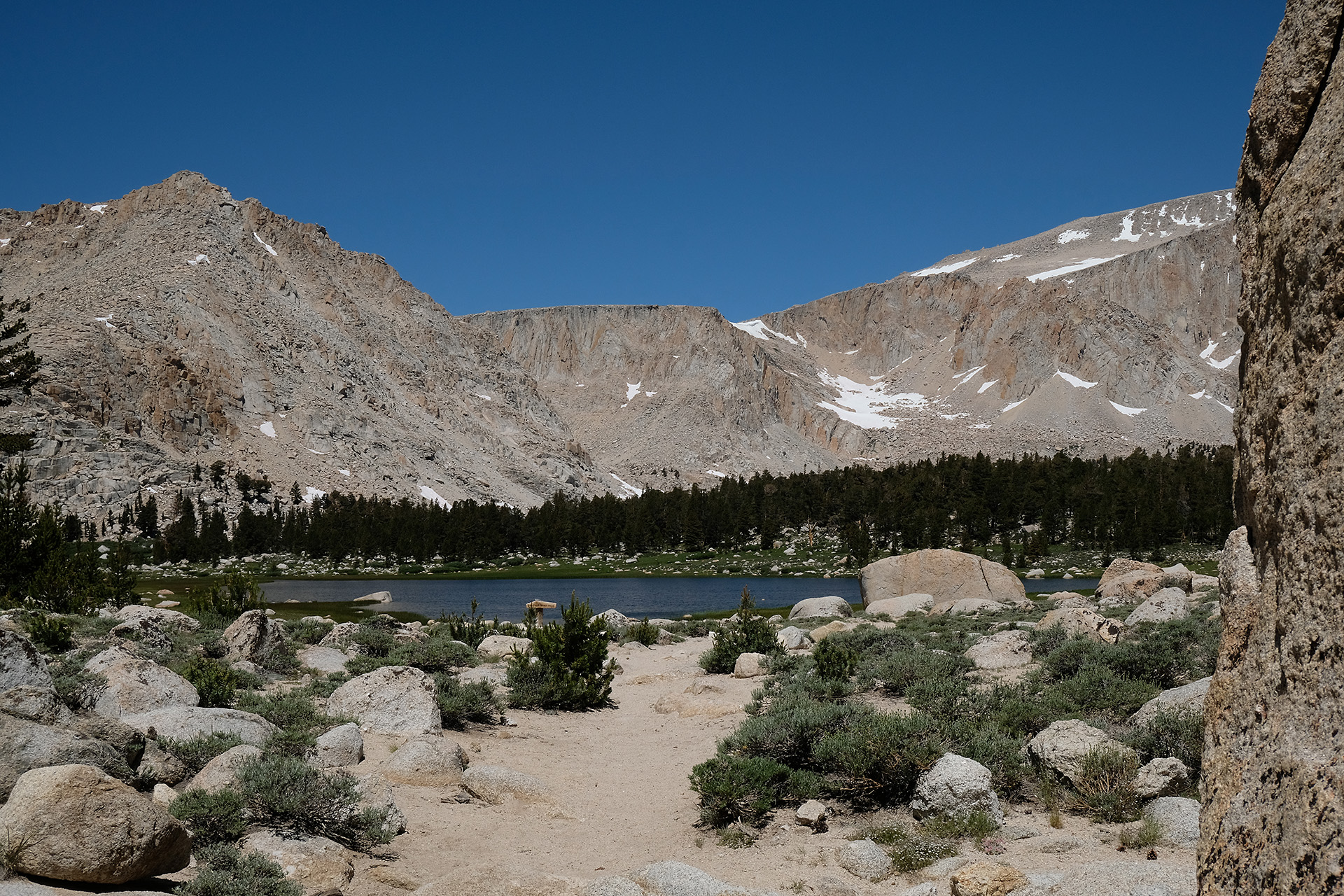
Back on the right trail the terrain soon started to become more alpine, and one could see the ridge where the pass is located – but which is it?
I found out later that this is the pass – it does not look very passable…
New Army Pass
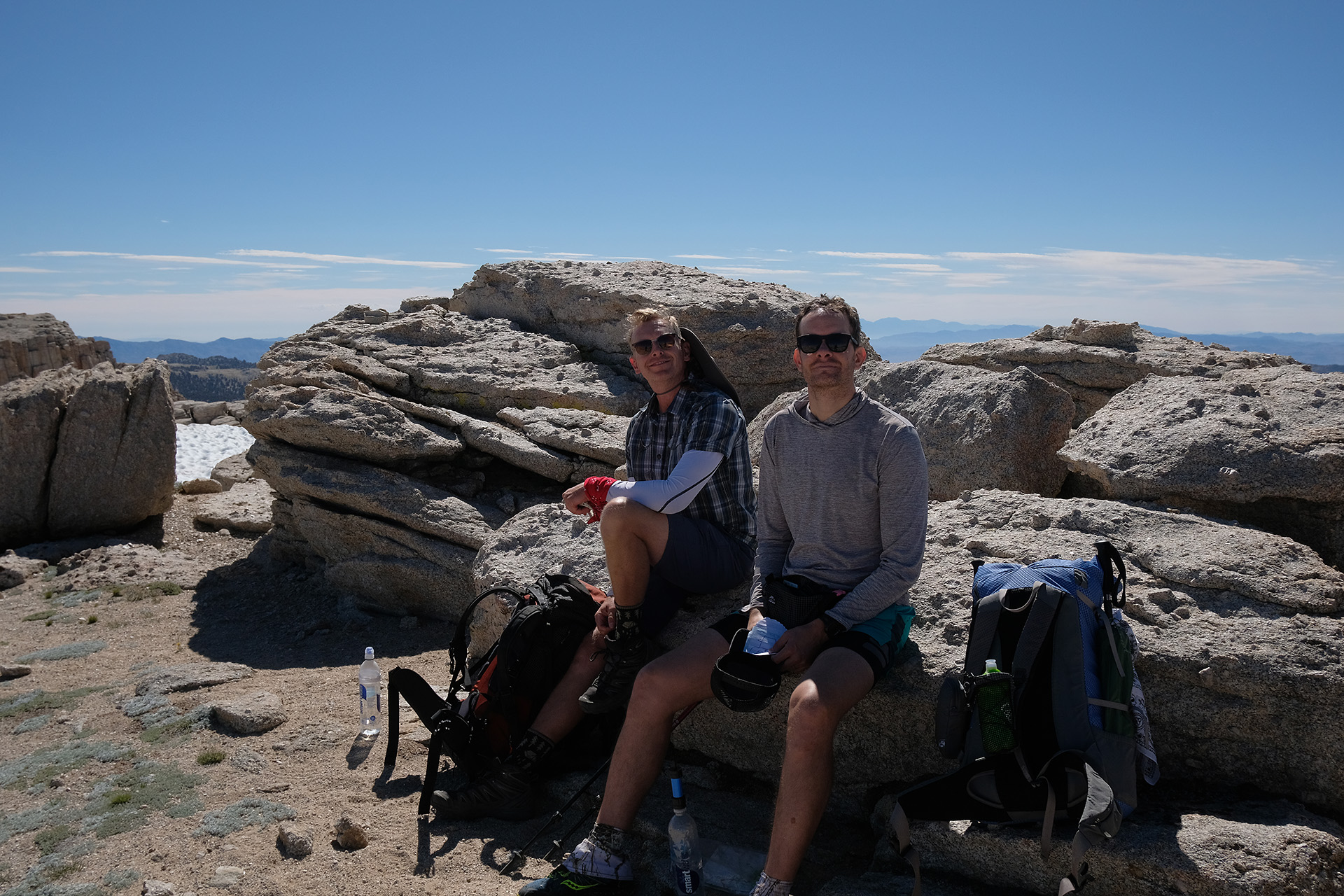
I continued the trail and was caught up by two other hikers. Together we decided it was too late to try the pass today, and looked for tent sites around the High Lake (11.500 ft), about 1.5 miles from the pass, at 5 pm.
Long Lake
Tired but happy after the first day
I found mine on a granite block, protected from the winds but with a spectacular view to the east, so could expect an early sunrise. It is a bit more work to set up the tent on rock but you are rewarded by its heat storage capacity which makes the early morning a bit warmer.
Time for food and sleep. I felt my legs and had some muscle cramps but then got just tired and slept well.
On Sunday after a breakfast I started from LA via Hwy 14 and 395 into the Owens Valley east of the Sierra Nevada. This was a few hours of driving. The photo shows my Nissan Frontier pickup on a rest area looking into Palmdale. I did not like the high position of the windows and rear-view mirrors: in the LA traffic you easily overlook a low-rise car next to yours.
In the early afternoon I arrived at the Eastern Sierra Visitor Center just south of Lone Pine. I talked to a ranger about the snow situation at the passes and got my reserved permit for Tuesday. I was told that the New Army Pass has a snow cornice on top but there is a way to cross it.
I continued to Independence and turned to the road up to the Onion Valley campsite at 9.000 ft. Obviously I was right there:
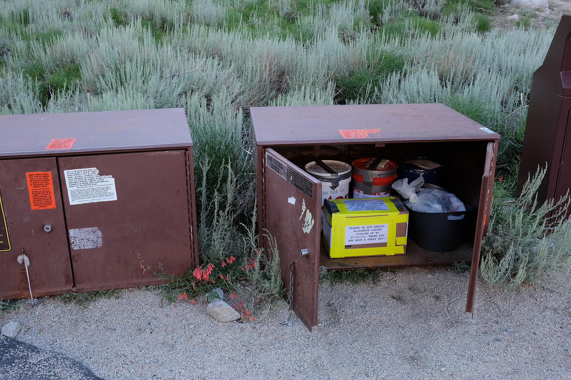
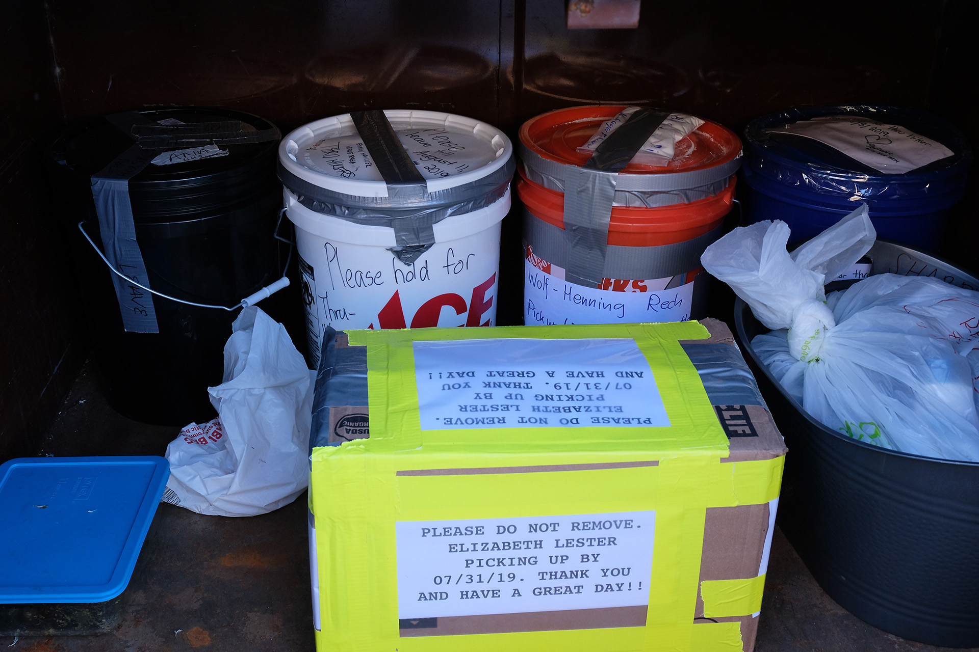
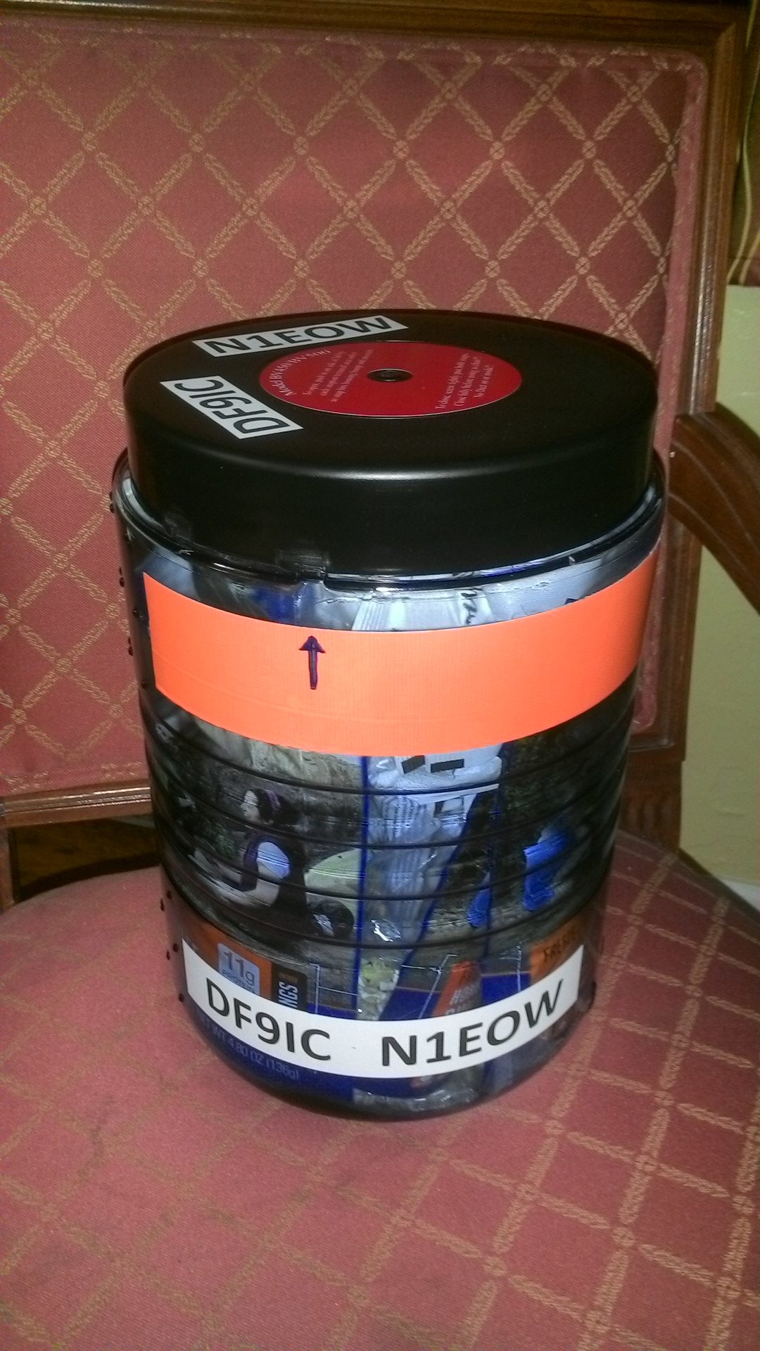
I put my orange resupply bucket in one of the bear boxes at the parking lot, in addition to those from other hikers waiting there for their owners.
Then I went to the campsite and set up my tent. After a backpacking dinner I went to sleep. Around 2 am an urgent business drove me out of the tent, and though I had not put on my glasses I could easily recognize that there was a bright starry sky. So I fetched the camera and tripod and started to make some long-time exposures.
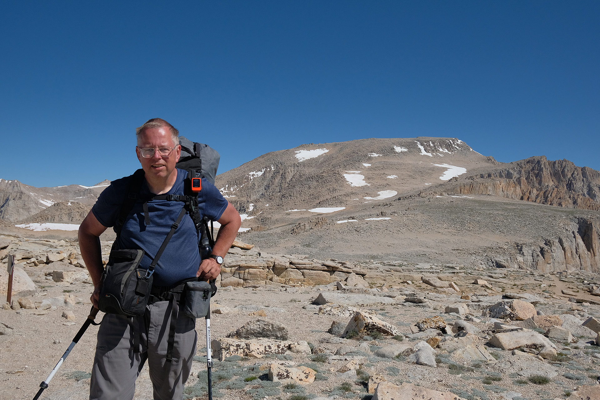
The next morning I found that I had a new tent neighbour who had arrived late in the night. He was born in France but has lived most of his life in the US and since more than a decade in New York working for the UN. He had hiked exactly the trail I wanted to start tomorrow, from Cottonwood Lakes over New Army Pass, Forester Pass and Kearsarge Pass to Onion Valley, and gave me more information about the snow situation. It seemed to be doable for me.
After my breakfast I gave him a ride down to Independence where he had a room reservation in the Independence Inn. Then I drove back to Lone Pine for a hiker gear shop because I seemed to have lost/forgotten my headlamp in LA. I bought a similar model there, and also more DEET spray. Later on trail I found the lost headlamp in the bottom of my pack, so now I had two.
Then I had to hurry: drive to Bishop, pack all unused stuff into the big cardboard box and ship it to LA, also ship the two remaining resupply buckets to VVR and Red’s Meadow. VVR wants to be shipped via UPS which office opened only at 12 am; after that I had to refill gas and return the car, and finally try to catch the bus back to Lone Pine at 1:15 pm. No time for lunch.
The timing was tough but I was lucky: just when I had parked the car the phone rang, and there was “Lone Pine Kurt” telling me he was just passing Bishop and could pick me up there, instead of meeting me in Lone Pine. Kurt Pauer is a retired commercial airline pilot who helps hikers with his small scale private shuttle service. He has German roots and had even been in Germany the year before. We had ample of topics to talk about, and so time was flying. On our way we stopped at the Mt Williamson Motel in Independence which has new owners, and at his home in Lone Pine. Then he drove me up to the Horseshoe Meadow campground (10.000 ft) where we arrived around 4 pm.
“Lone Pine Kurt” Pauer
Horseshoe Meadow campground for the Cottonwood Lakes Trail
Catching the afternoon sun
I set up the tent and used the last rays of the afternoon sun to recharge my devices.
This night was new moon so I set up the camera for a milkyway timelapse:
My journey started with the bus and train transfer to Frankfurt airport (FRA) on Friday, July 26th. I had plenty of time as I left home before 8 am and the flight departed after 2 pm, and thus could easily compensate a one-hour delay in the train system.
My luggage comprised my cabin bag, a separate photo bag, and a rugged army duffelbag weighting 22 kg which contained the backpack and most of the other gear plus some food. The total weight was above 30 kg, so I tried to minimize carrying. Checking in the baggage was a bit complicated because the normal check-in counter did not accept the duffelbag, and I was sent to a special counter for bulky luggage though the dimensions were within the regular limits. Advantage: there was nearly no queue, and I had my bag checked in after few minutes.
The flight was nonstop to LA with Lufthansa, departed and arrived on schedule. During the 10 h duration I stayed awake, eating, avoiding alcoholic beverages but accepting every tea I could get, talking with a group of French travelers sitting around me, watching a movie and reading in one of the JMT guides. I still was quite awake when we arrived after 4 pm PDT (1 am CEST). The immigration process went smooth after I had answered the first question – what I will do in the US – the officer told me about his own hiking experiences overseas. Noone wanted to see my customs declaration.
Outside the terminal, after some waiting, the shuttle bus to Enterprise arrived. It was close to 6 pm until I had finished the process there which seemed to be overly complicated because it was a one-way rental. My old grey driver license with a photo from 1978 was accepted with some concern.
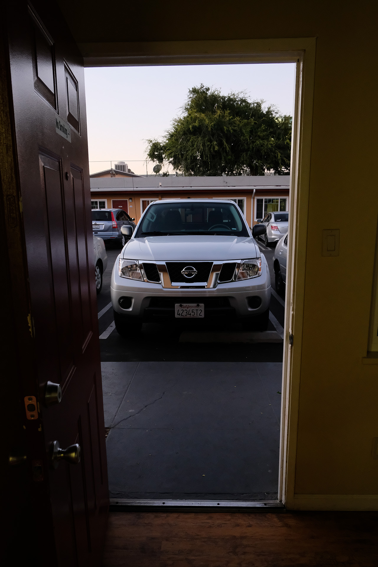
So I had a car, a phone with a US SIM card, and a motel reservation. After a 30 mins drive I arrived there and got my room. Enough for today!
Saturday morning I started early as I had quite some tasks to complete:
Home Depot: buy three 5 gallon buckets with lid, duct tape and a big cardboard box
WalMart: buy food
Target: buy more food
Find an ATM to get some cash
REI: pick up the preordered bear can, and buy some more gear like gloves, a map of Mt Whitney zone, two gas canisters, and a good assortement of Mountain House menus
Though I was in a WalMart superstore the food selection was not impressive. A big supermarket in Germany has more variety. I could not buy special products like dried vegetables off the shelf but should have preordered them days before and then wait in a queue to pick up my items at a counter. There were only few cash desks open with inefficient operators – I waited nearly half an hour – customers should use self-scanning under the supervision of an employee. It was a bad customer service experience. I will not return.
Target was much better, I got some of the missing items like BabyBel cheese, two big cans of cashews and Swiss Miss cocoa. Also bought a set of lighters, and then felt I had all I would need for survival.
The ATM allowed me to withdraw a maximum of 120$, at a 6$ service charge. Luckily I still had some cash from my last stay so it was enough to pay for bus and shuttle service.
At REI my preorder 4 weeks earlier has gone wrong though I had got a confirmation from them that they keep my items until I pick them up. But I was lucky, they had BV500 bear cans on the shelf, and also gave me the special Independence Day sales price. Friendly people, smooth business.
When I returned to my hotel it was late afternoon. In the evening I tried to stuff the bear can with the food for the first stretch, and then prepared the three buckets for Onion Valley, Vermillion Valley Resort (VVR) and Red’s Meadow. VVR to Red’s is only three days so there was much space left in the VVR bucket which I filled with a 1.5 l bottle of Californian red wine and 3 Pringle tubes. Lots of ziplock bags for couscous, milk powder (Nestlé Nido), granola mix, Skratch hydration powder had to be filled and partitioned. It got quite late until I had finished all but obviously my inner clock had already adapted well to the local time.